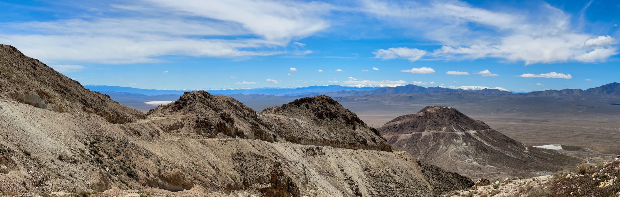
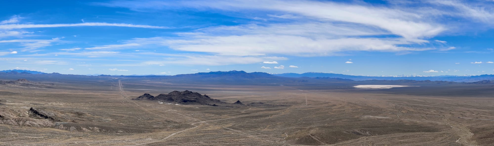
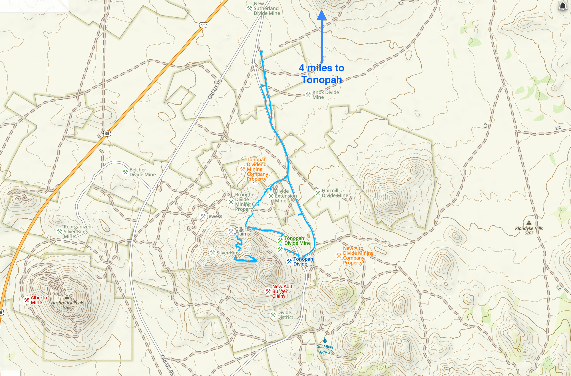
Divide Mining District, Nye County, Nevada

The Divide district, originally known as Gold Mountain, is situated about 5 miles south of Tonopah in the Klondyke Hills. Renamed Divide after new discoveries in 1917, it is centered on the divide along the Tonopah-Goldfield road, west of Gold Mountain (6,647'). Nearby, the Gold Reef district lies on the southeast flank of Gold Mountain, and both are now part of the current Divide district. Historical references such as The Nevada Miner (1902) also mention a Dutch Mountain district about 6 miles south of Tonopah, likely encompassing this area.
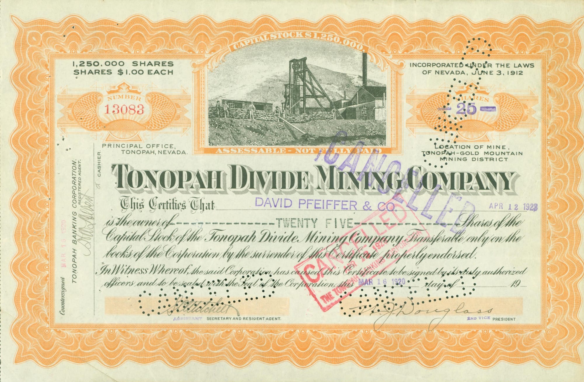
This discovery, thanks to the persistence of H.C. “Cal” Brougher, president of Tonopah Divide Mining Company, significantly boosted the district's prominence. With the financial backing of George Wingfield, president of Goldfield Consolidated Mines Company and a new member of the board, the first ore was shipped in October 1918 to the Goldfield Consolidated Mines Company mill, 30 miles south of the district. This event marked the beginning of a mining boom that saw the staking of claims over an area of 50 square miles around Gold Mountain, with hundreds of companies formed, nearly all incorporating “Divide” in their names.
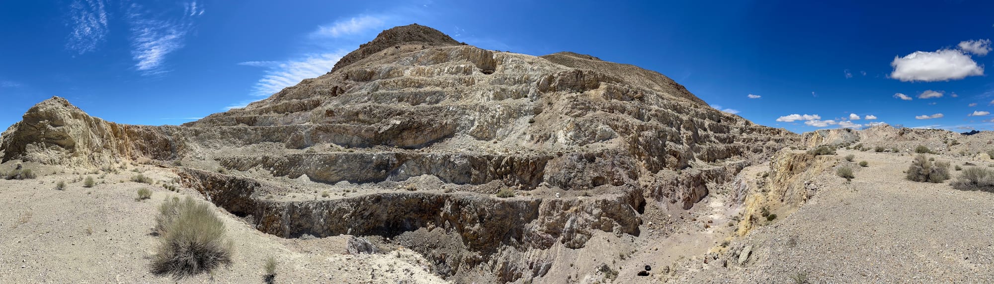
The Divide District has a rich history of mining activities, evolving significantly since its inception in 1902 when it was primarily mined for gold by the Tonopah-Gold Mountain Mining Company. By 1912, the operation was reorganized as the Tonopah-Divide Mining Co., marking the beginning of its prominence in the region. A turning point occurred in 1917 when a rich silver lode was discovered, boosting the mine's productivity. Over the decades, the mine saw varying levels of activity and ownership changes, including significant exploration in the 1970s and 1980s, and it transitioned to a gold-silver open pit operation under Falcon Exploration in 1981.
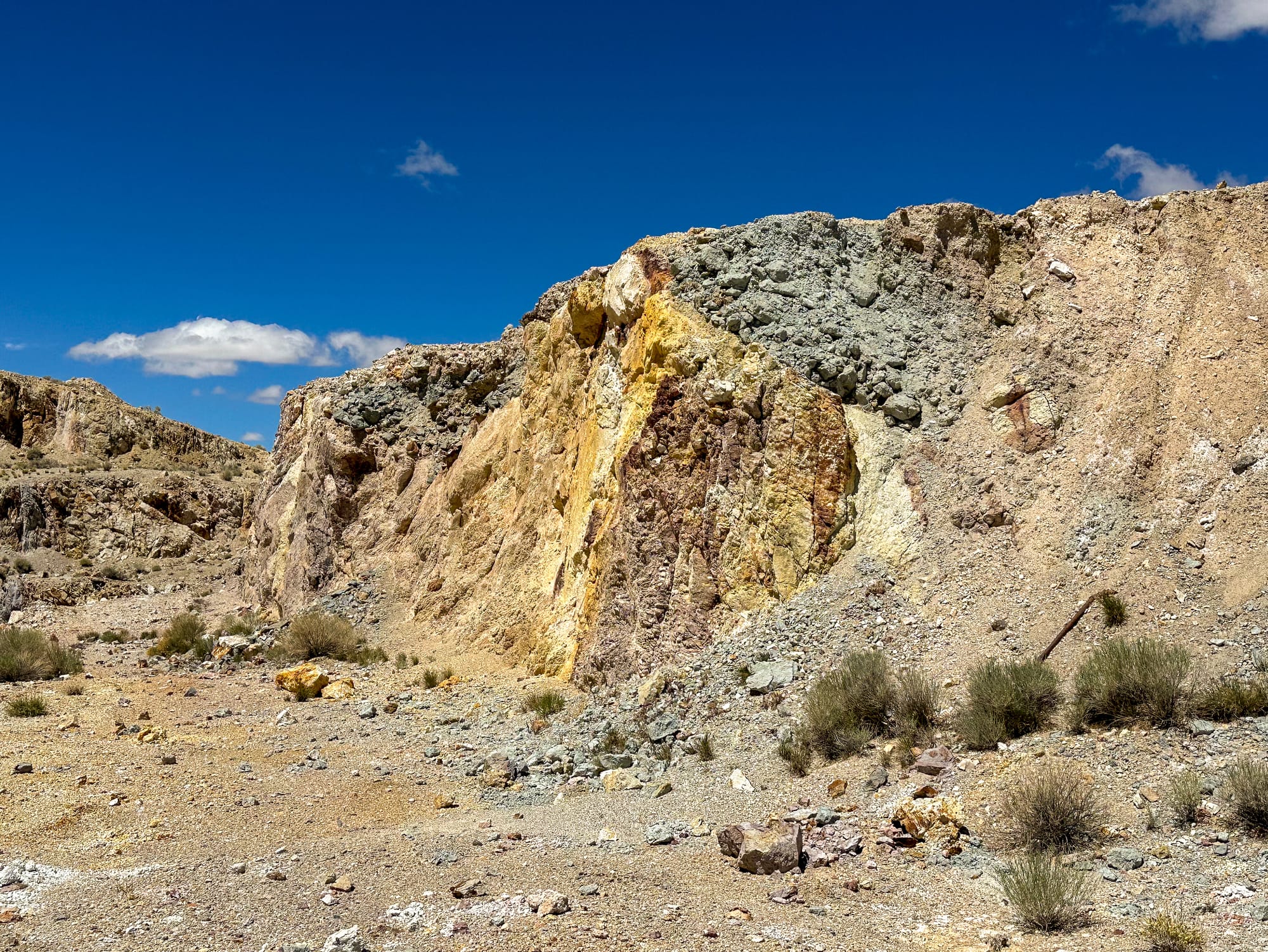
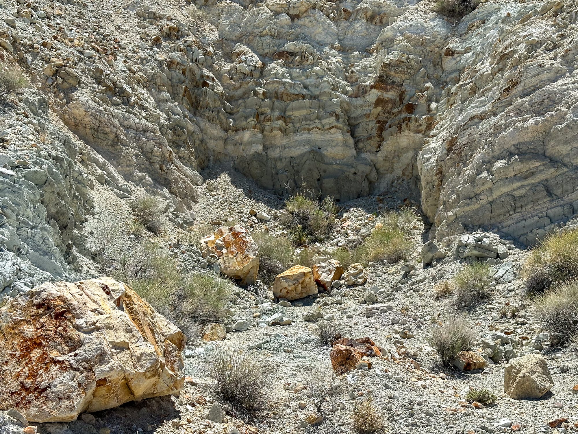
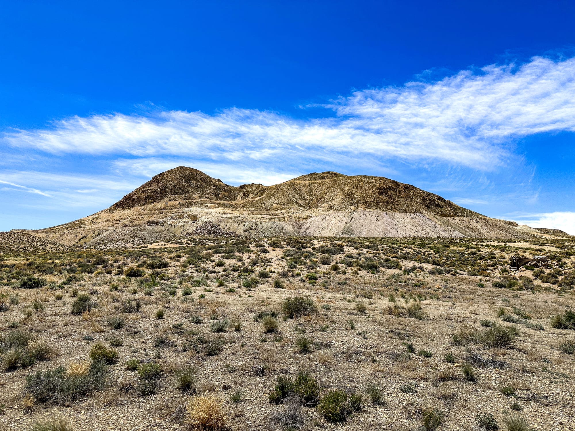
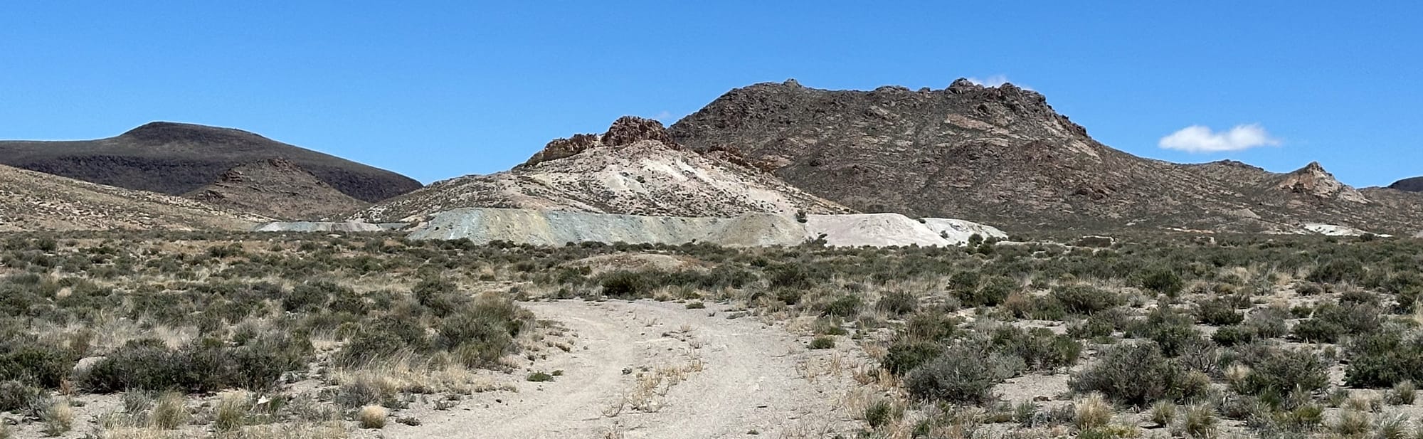
The geological and mineralogical setup of the Divide District is closely tied to the volcanic activity of the region. The mineralization events associated with the district are dated to between 16.1 and 16.4 million years ago, following the intrusion of the Oddie Rhyolite formation. This timing aligns with the secondary mineralizing event in the nearby Tonopah District. The district's geology is marked by a sequence of volcanic rocks and intrusions that have been extensively mined for their rich deposits of silver and gold, influenced by the area's complex tectonic activities.
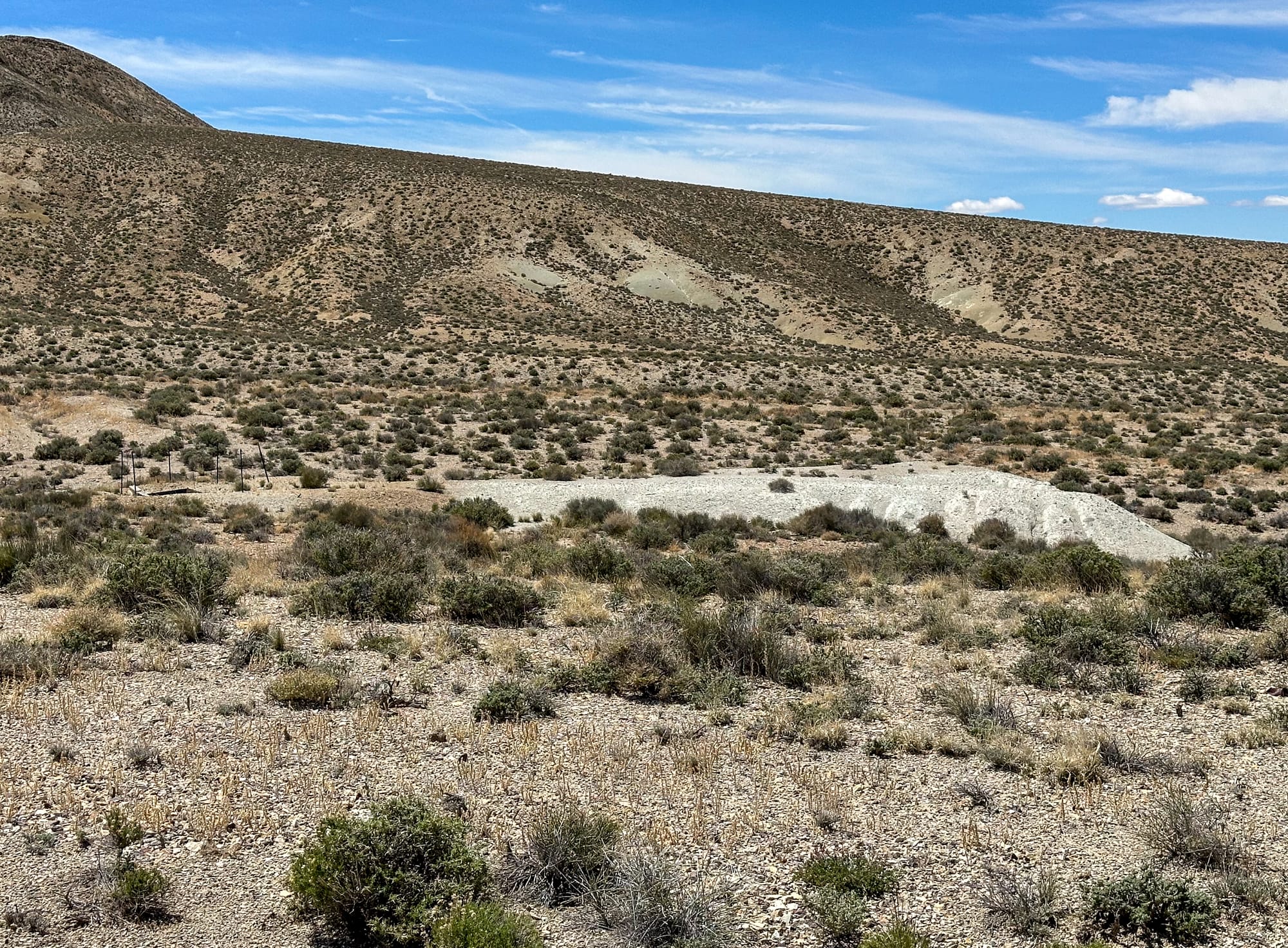
Economic evaluations over the years have demonstrated varying potentials for the mining operations. By 1988, the property was estimated at about 500,000 tons of material, but by 1997, this had expanded significantly to 1.8 million tons with a higher gold grade. These figures reflect the evolving understanding and technological advancements in ore body mapping, mining, and mineral processing that allowed for more accurate assessments and improved extraction techniques.
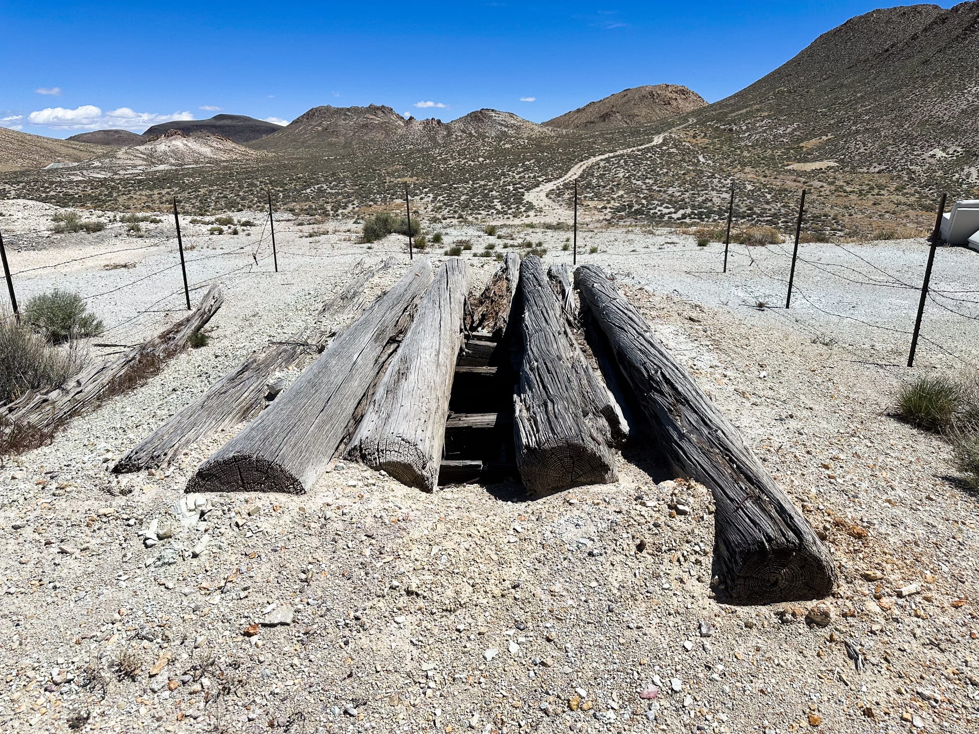
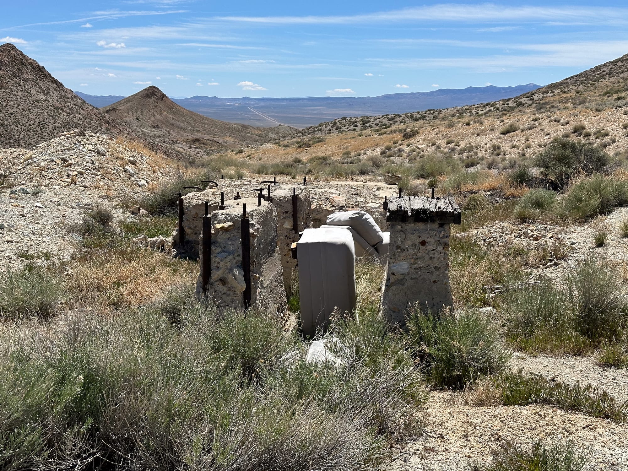
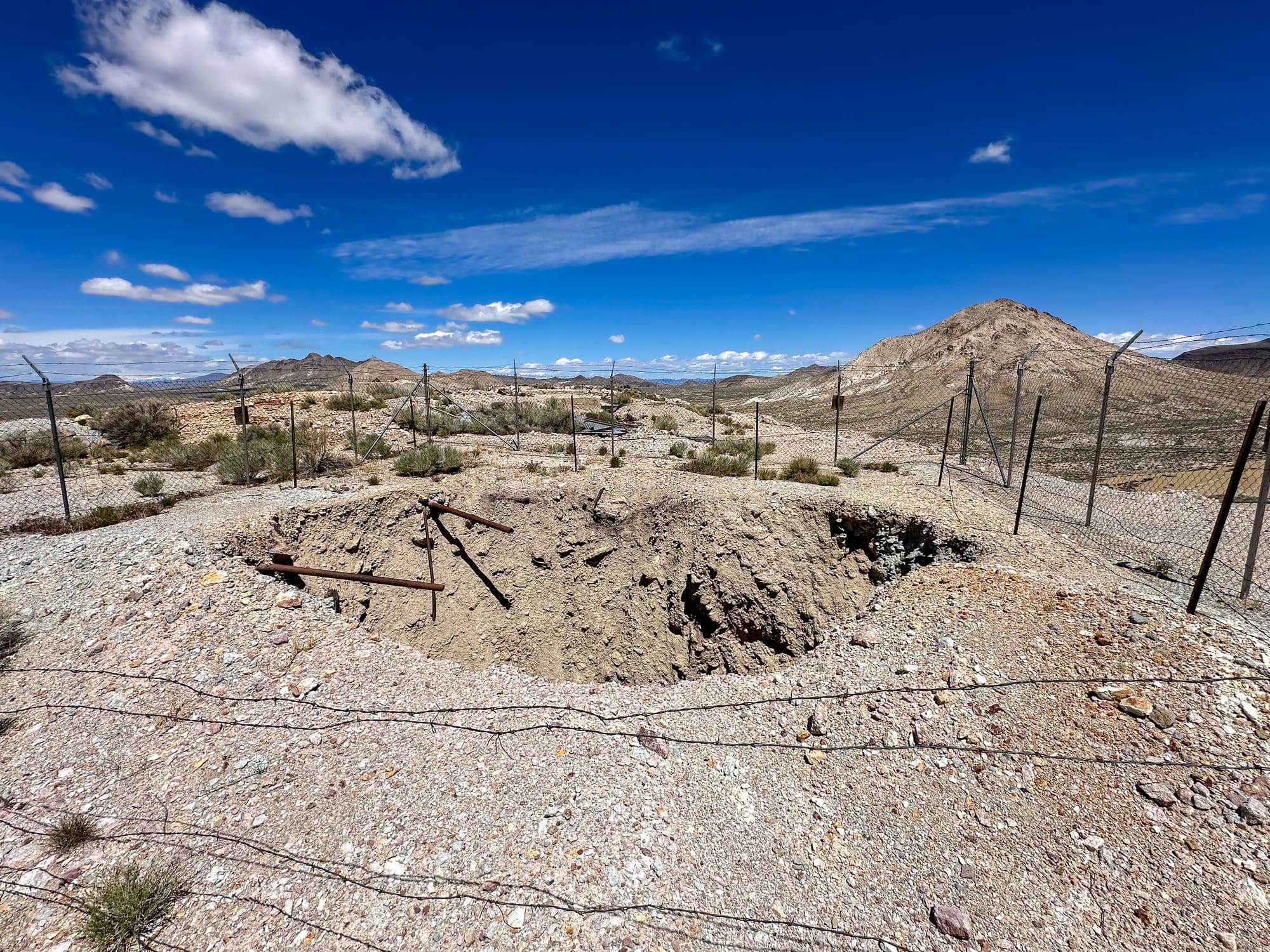
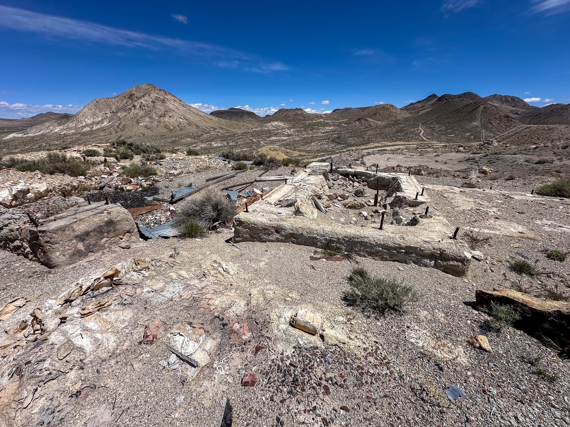
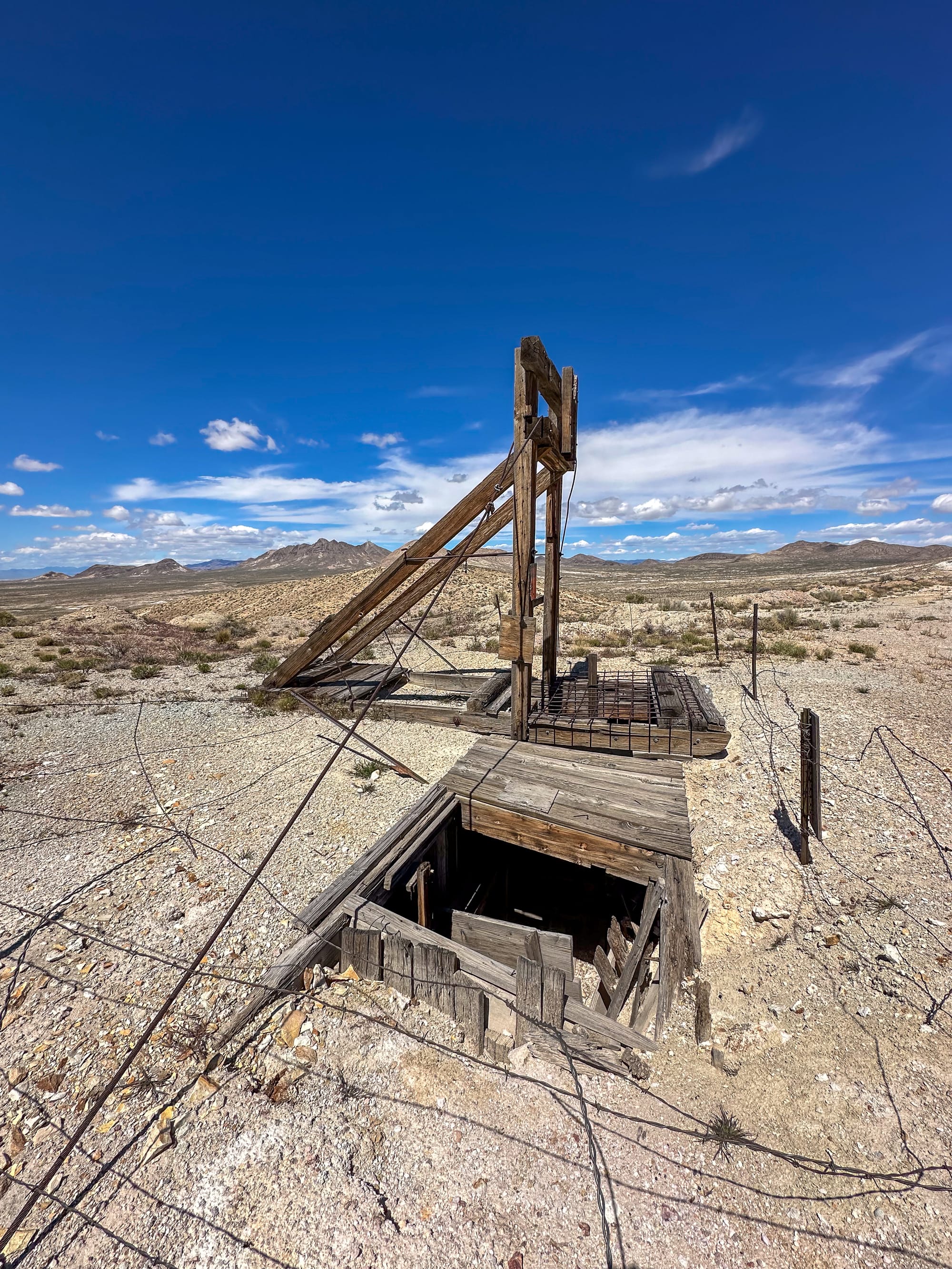
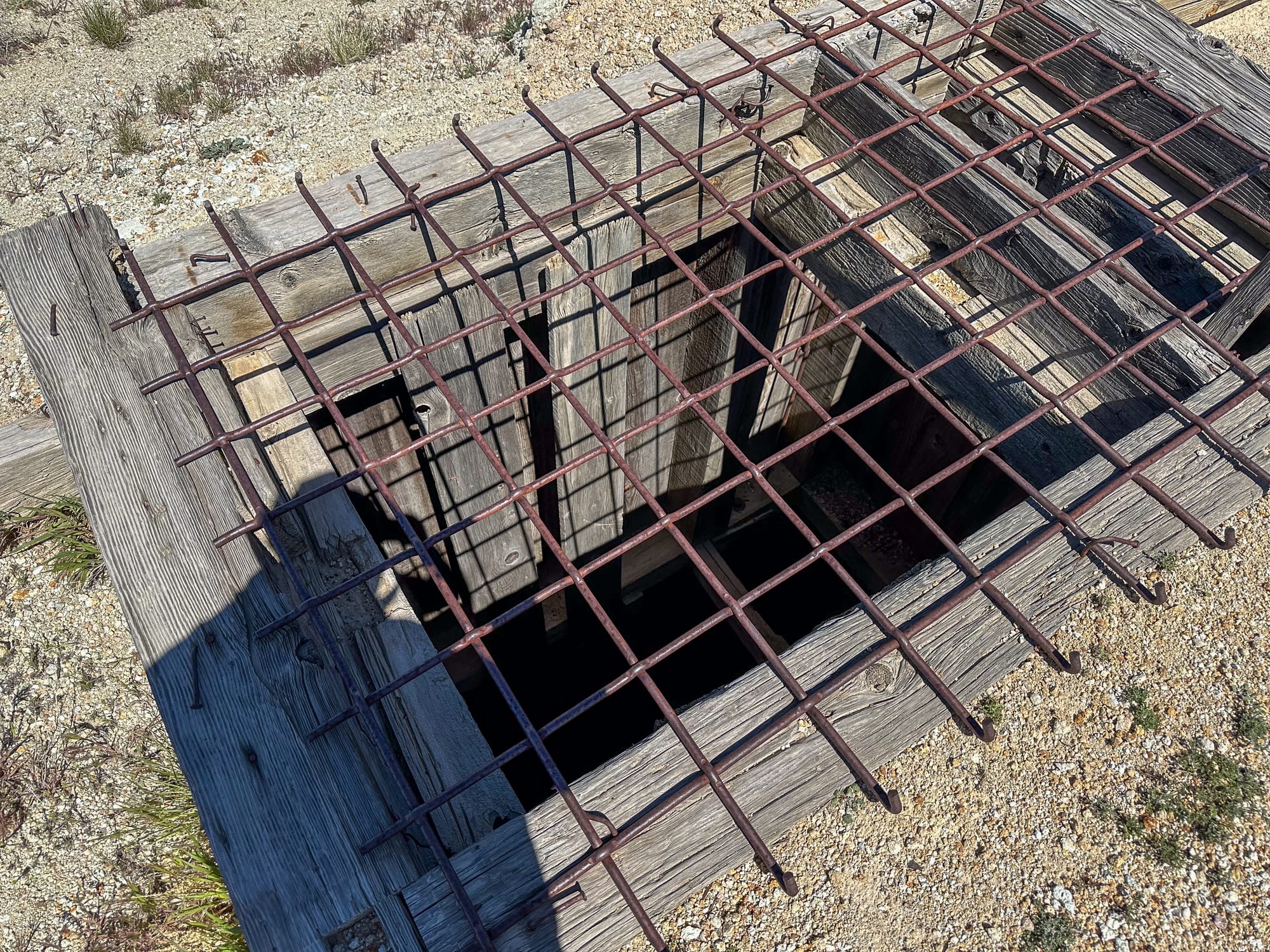
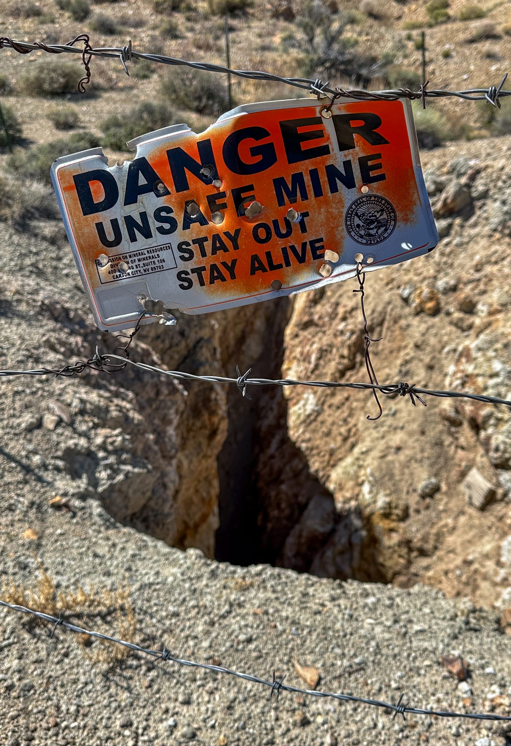
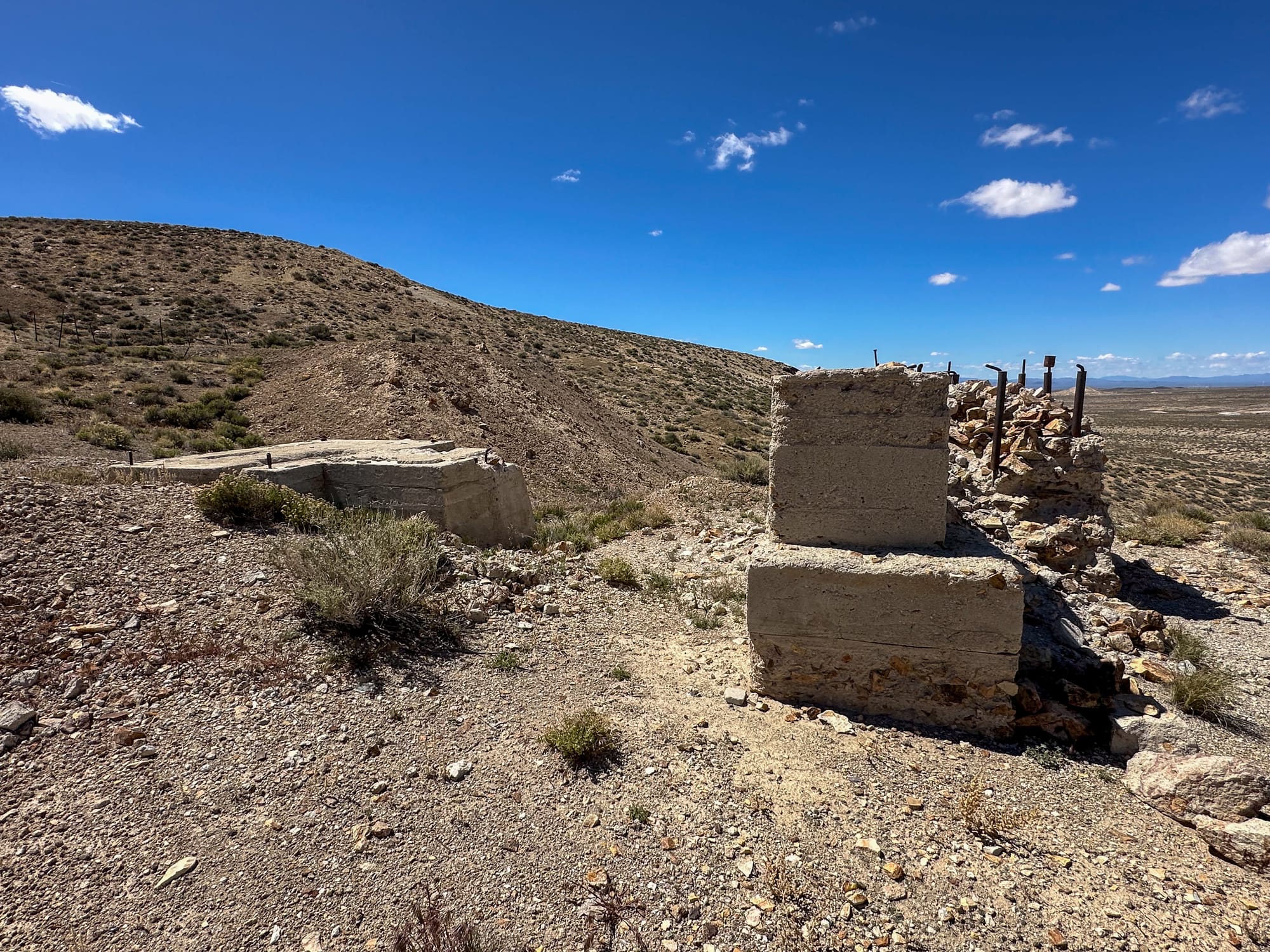
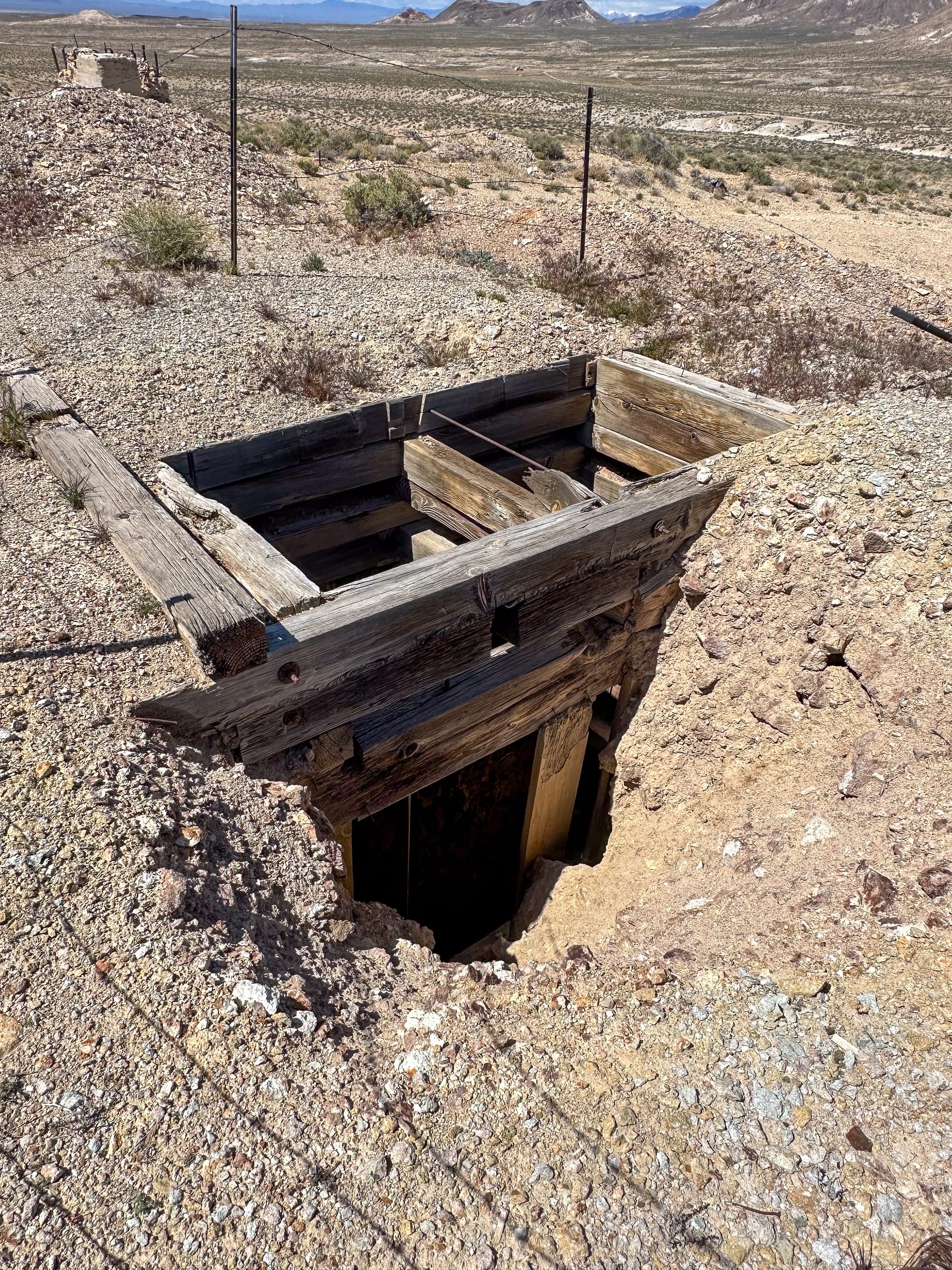
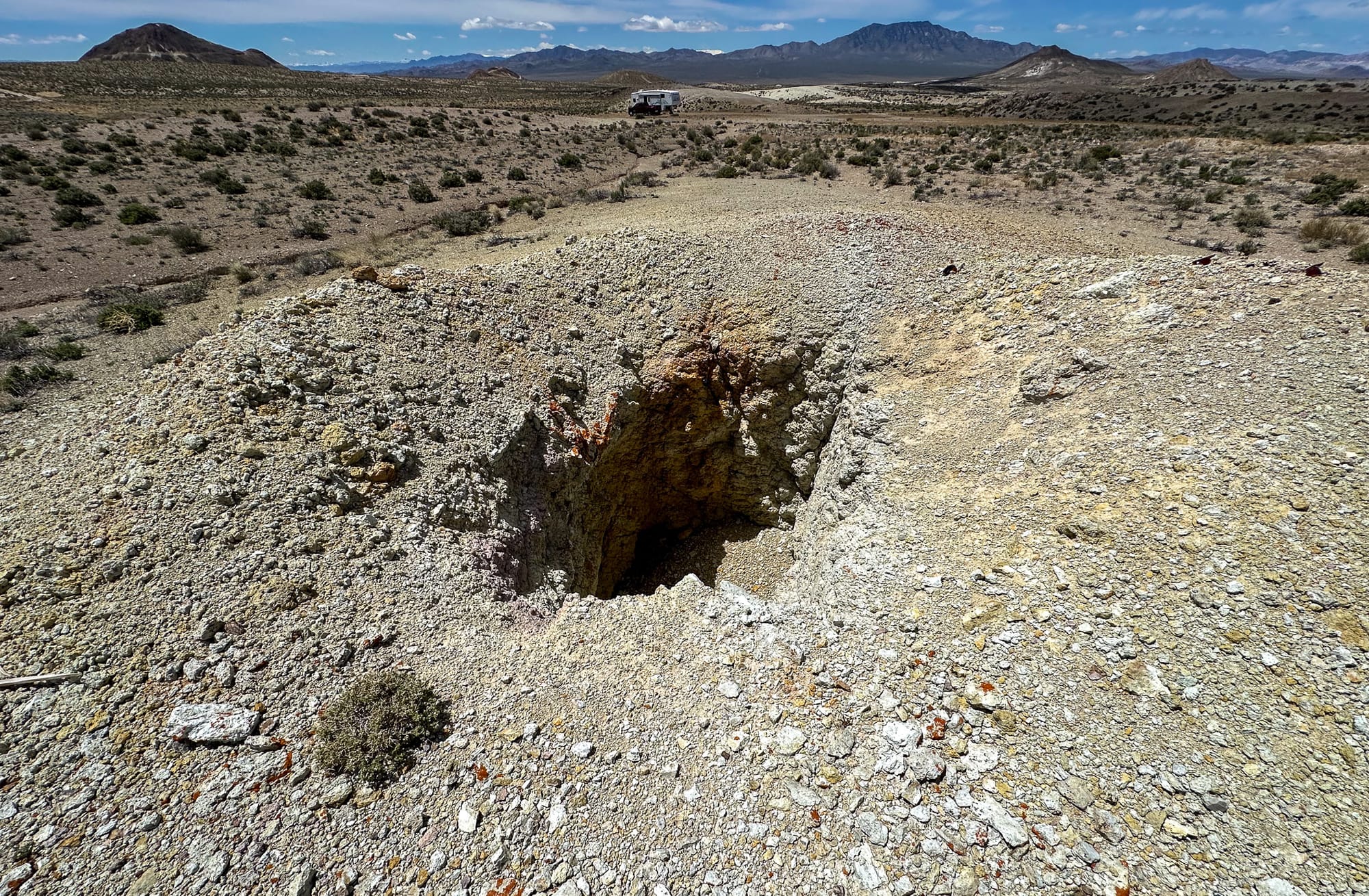
The infrastructure of the district has also evolved, for example, from deep vertical shafts of the Tonopah-Divide Mine in the early 20th century to an open pit format by 1981. This transition reflects changes in mining technology and economic factors that made open-pit mining more viable. The Tonopah-Divide was the most productive mine in the district and workings have included a 1,500' shaft, extensive crosscuts and drifts which provided access and extract the ore from multiple levels, adapting over time to the geological challenges and the scale of operations.
In addition to the Tonopah-Divide Mine, several other smaller producers were formed during the 80 years the district was operating. These mines included:
- Brougher-Divide Mining Company
- New Alto Divide Mining Company
- G&H Claims
- Jewess Claim
- Silver King
- Harmill Divide Mine
- Divide Extension Mine
- Tonopah-Dividend Mining Company
The larger Tonopah Divide area encompasses a range of patented and unpatented claims, with significant expansions and contractual changes in mining rights over the years. Notably, in 2006, Tonogold Resources signed a 10-year lease to mine the area, indicating continued interest and investment in exploiting the mineral resources of the district. The lease covers a substantial area, reflecting the ongoing potential seen in this mining district.
The Divide District and its associated mining operations present a microcosm of the broader trends in the mining industry, including the challenges of remote mining operations, the economic fluctuations affecting commodity prices and investment, and the technological advancements that have allowed deeper and more efficient extraction of mineral resources. This district's history offers insights into the complexities of mining in a geologically active and economically fluctuating environment, highlighting the adaptation required to sustain mining operations over more than a century.
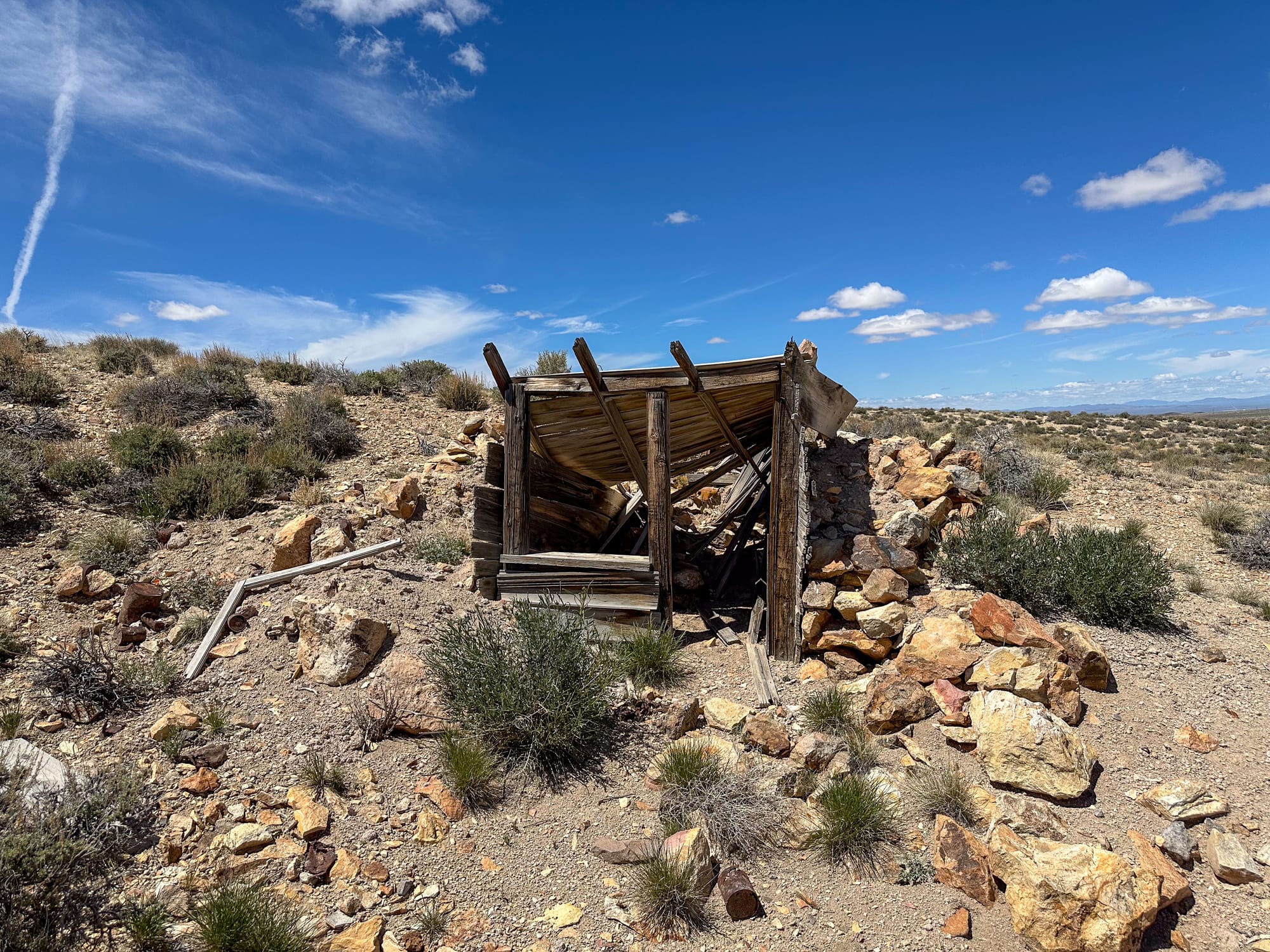
The Tonopah-Divide Mine has several shafts, including:
- Halifax: 1,200 feet deep
- West End: 1,500 feet deep
- Ohio: 800 feet deep
- McNamara: 700 feet deep