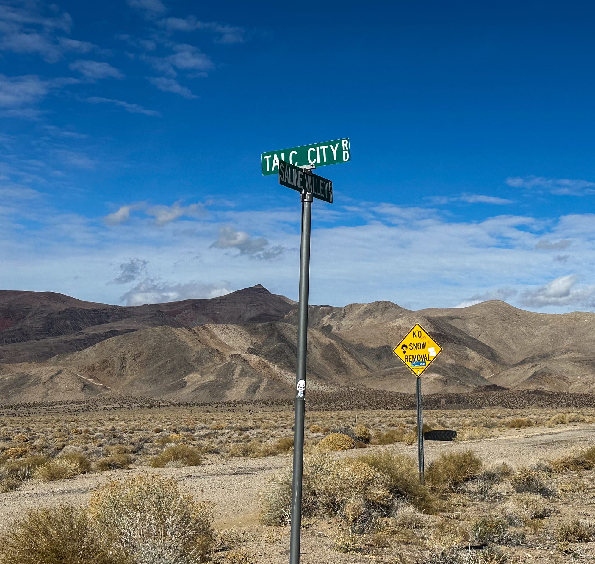
Talc City Hills (and a bonus trip to the Boraxo Mine)

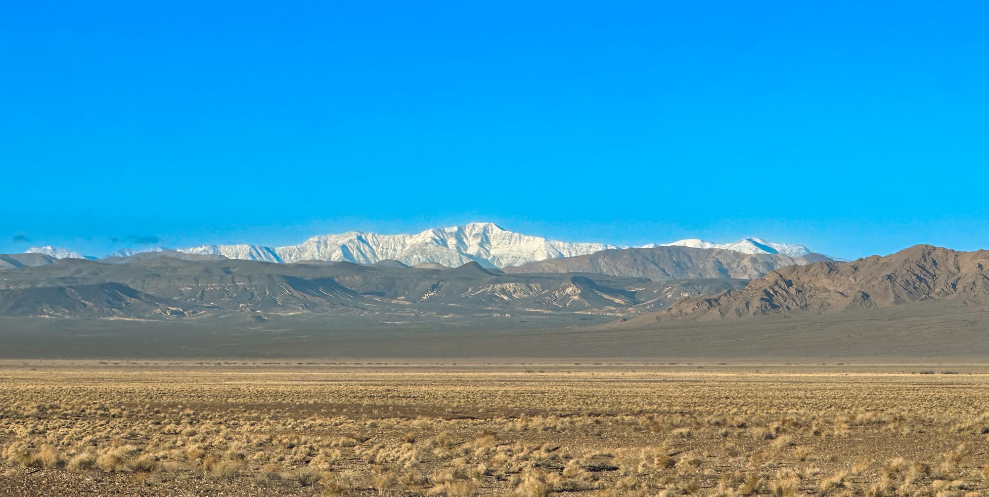
The Talc City Hills, located in the eastern part of California, are a notable geological and historical region known for their rich deposits of talc, a mineral used in various industrial and cosmetic products. This area has been of interest for both geologists and miners for many years, contributing significantly to the understanding of the geological history of the region as well as to the economy through talc mining operations.
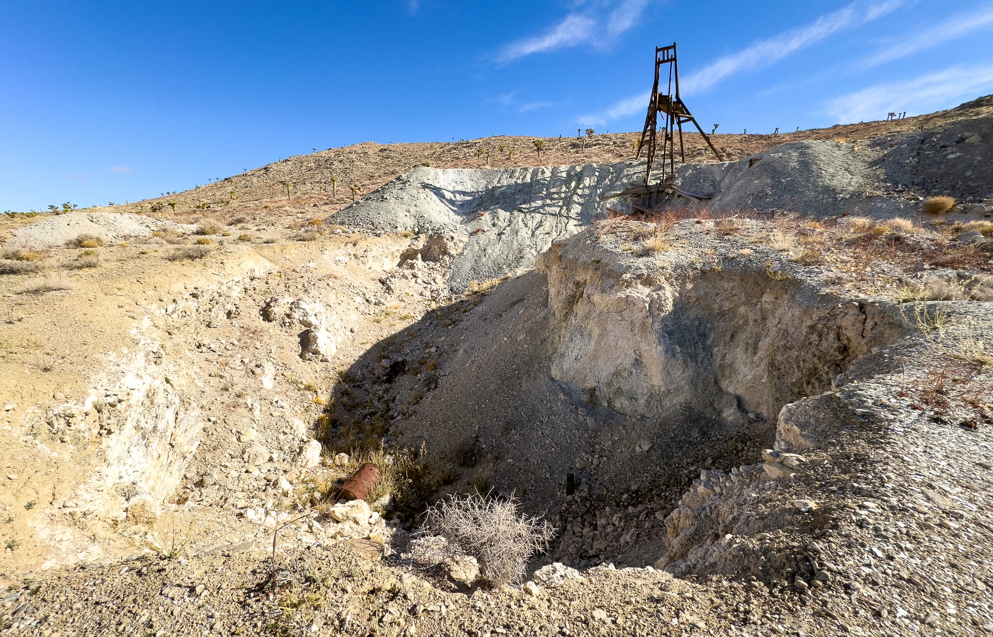
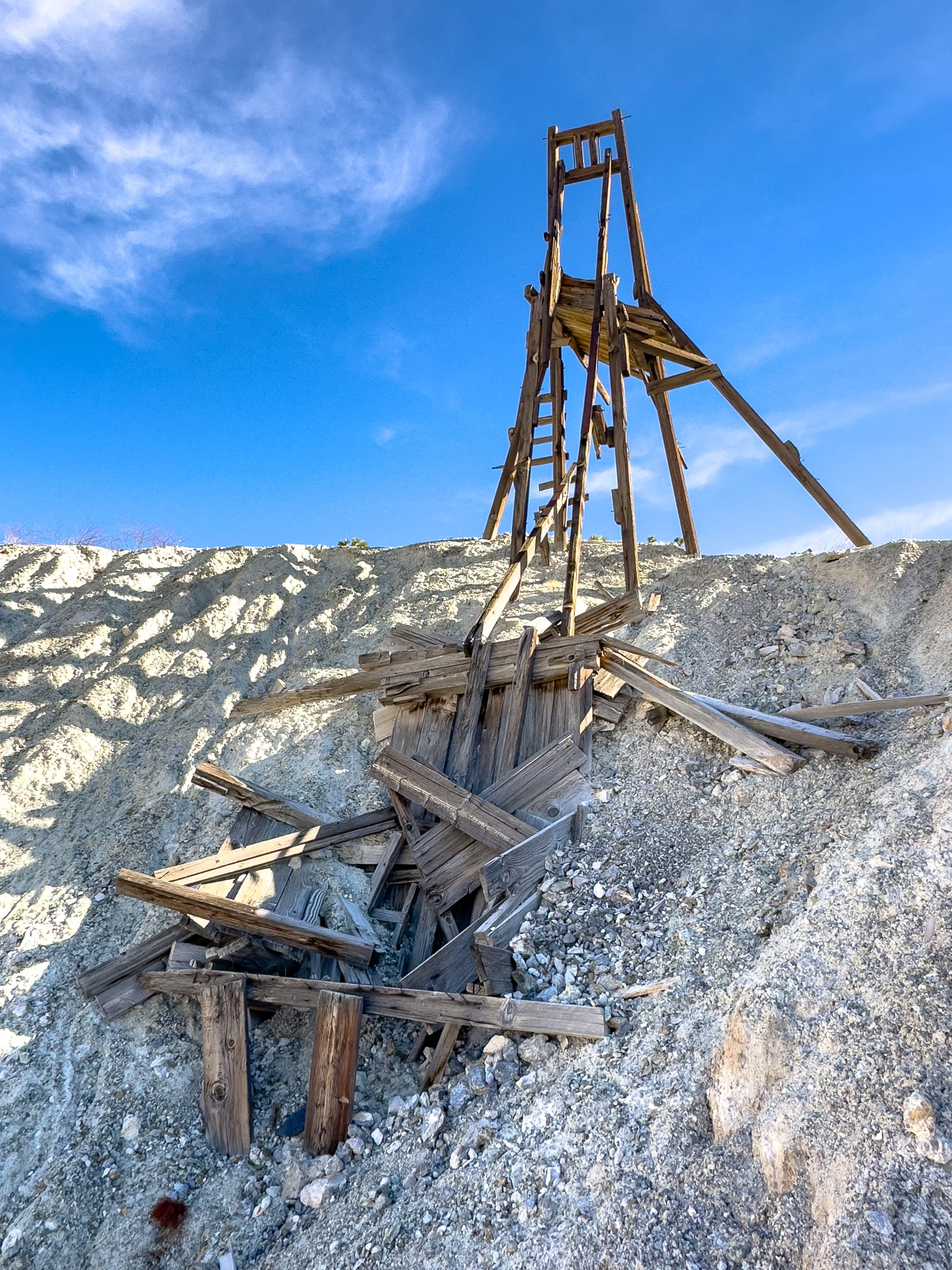
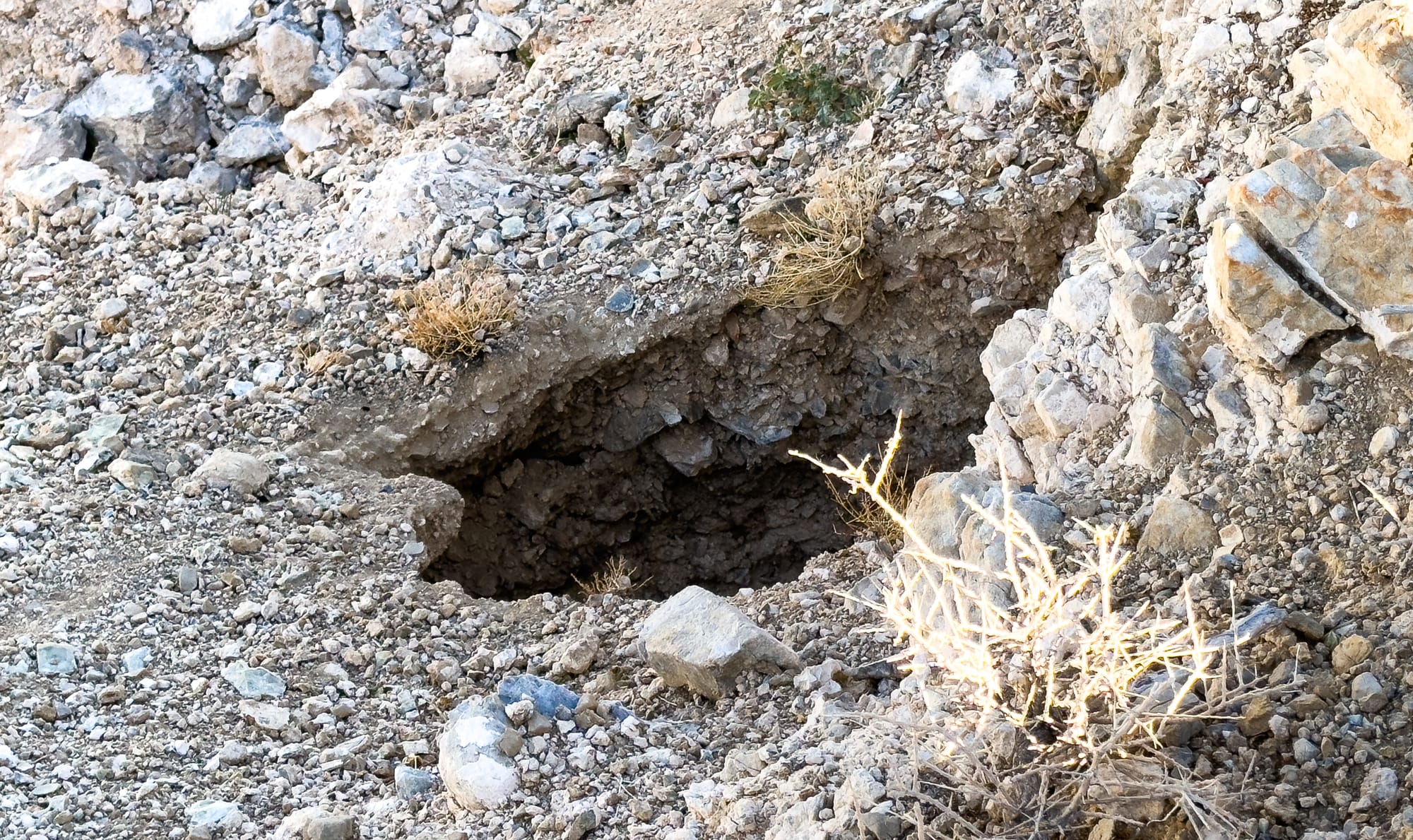
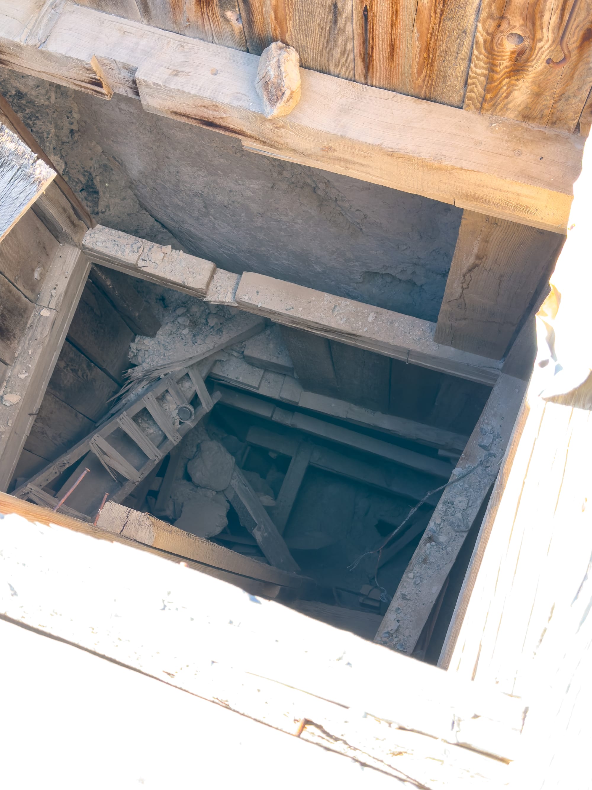
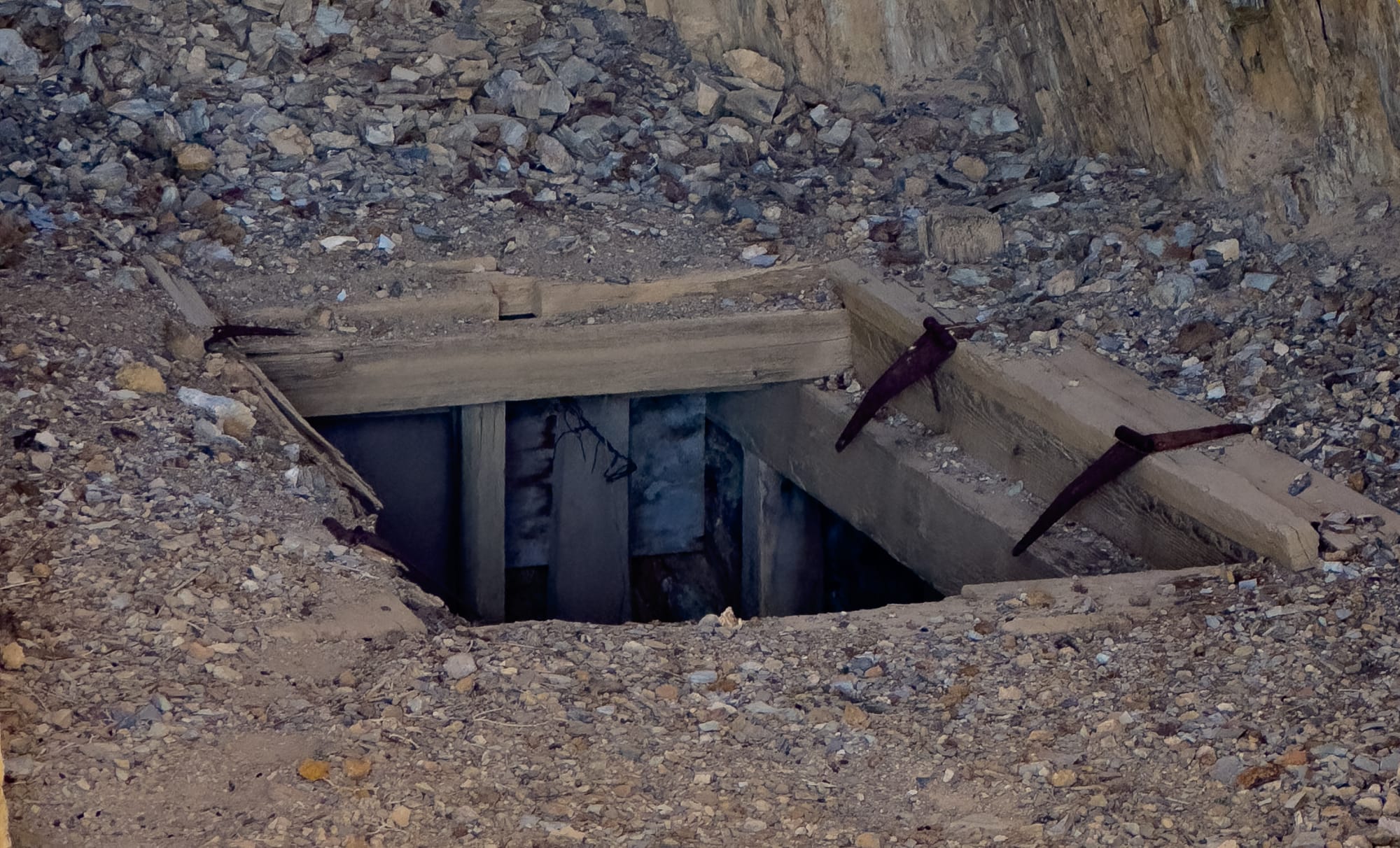
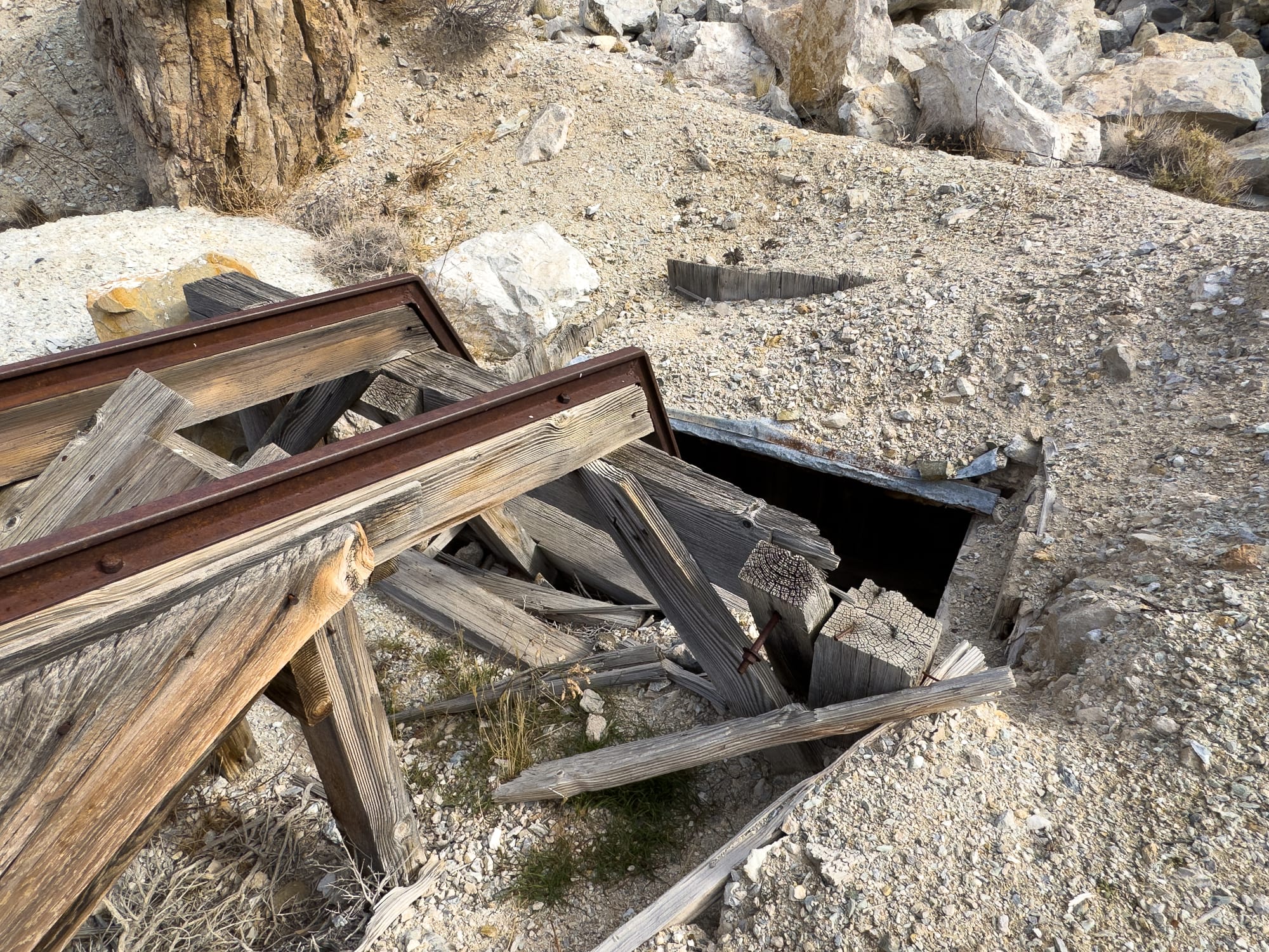
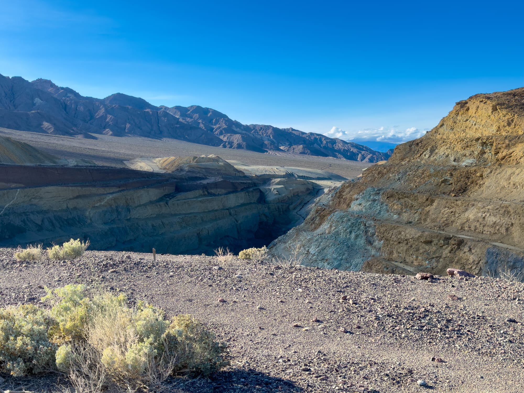
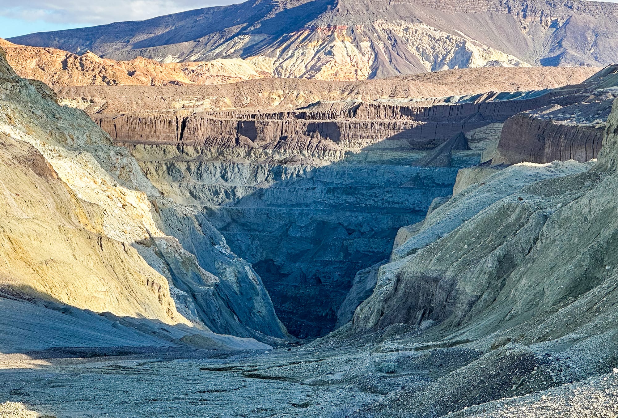
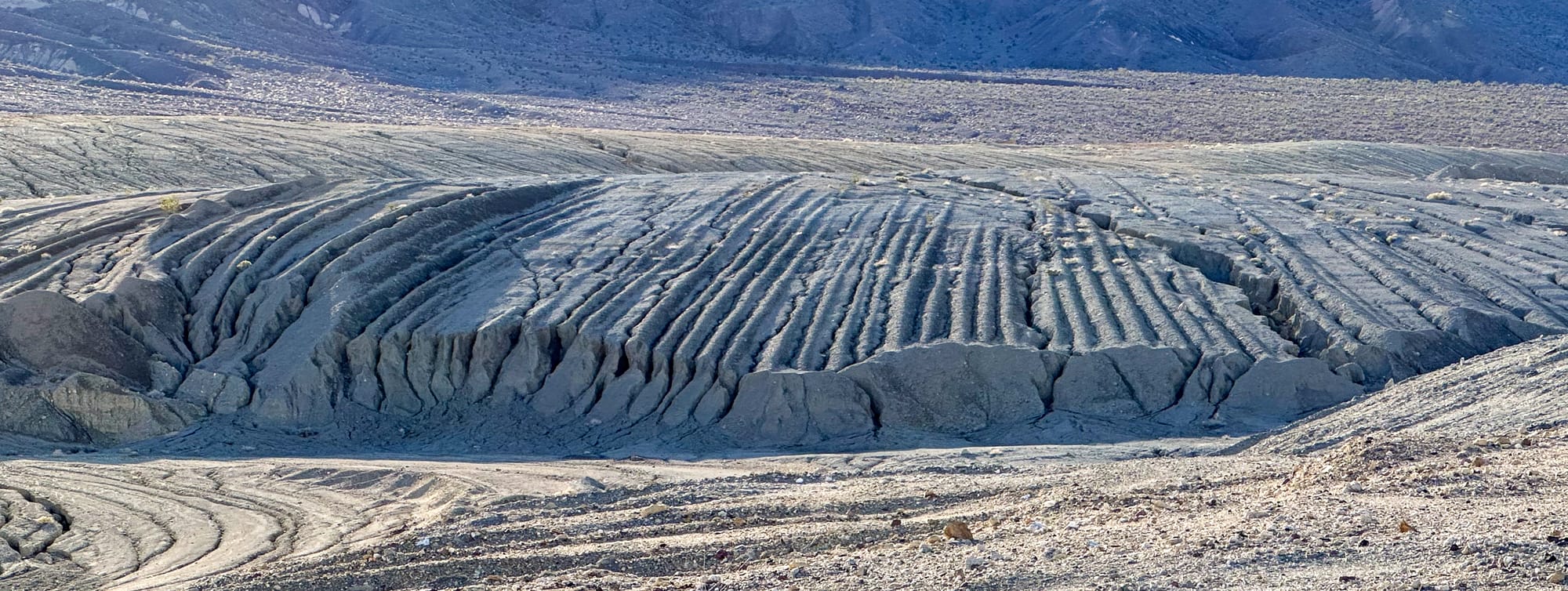
One of the first mines we encountered was not named on the topo map, but was an amazing example of collapse and subsidence. The rock mined here was not competent in miner's parlance and so once the mine was abandoned and natural processes took over, the mine eventually collapsed leaving a surface subsidence crater. Even scarier, and a good reminder about being very cautious exploring abandoned mine areas, was a tiny hole in the bottom of the subsidence crater. A rock tossed down that hole took 5 seconds to hit something - about 130 feet vertical!
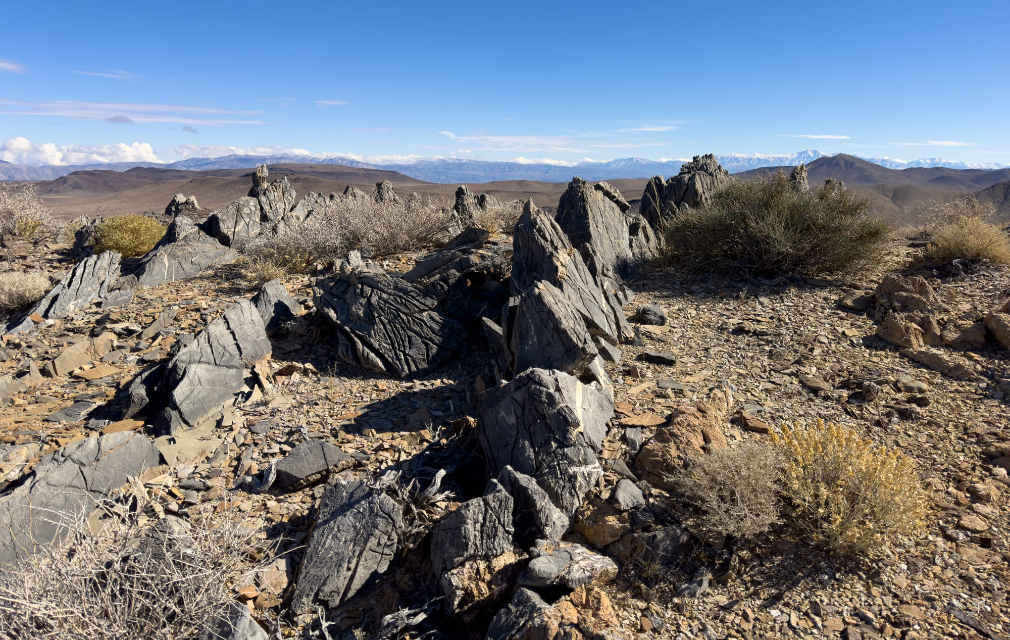
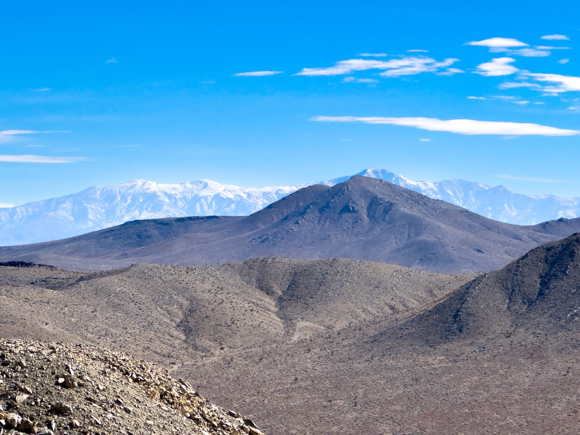
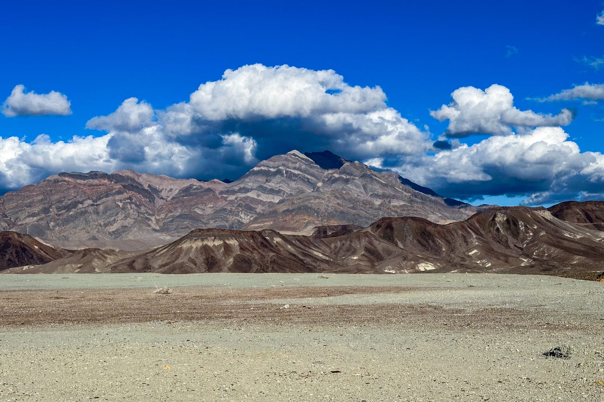
The geology of the Talc City Hills is particularly fascinating, showcasing a diverse array of rock formations that tell a story of the Earth's past. Among these, the Lost Burro Formation and the Hidden Valley Dolomite stand out for their geological significance and the insights they offer into the region's ancient environments. There are two major bedrock units in the Talc City Hills.
Lost Burro Formation: This geological formation is part of the larger geological context of the Death Valley area, which is renowned for its complex and diverse geology. The Lost Burro Formation is primarily composed of sedimentary rocks that were deposited in a marine environment. These rocks are indicative of the changing sea levels and environmental conditions that occurred during the period of their formation. The presence of various fossils within this formation provides valuable information about the life forms that existed during this time, offering a window into the past ecosystems.
Hidden Valley Dolomite: The Hidden Valley Dolomite is another significant formation, composed mainly of dolomite and limestone. Dolomite rocks are formed from limestone by the substitution of magnesium for calcium, a process that occurs under specific conditions of temperature and pressure, often associated with the percolation of magnesium-rich fluids. This formation is important for understanding the paleoenvironmental conditions, as it suggests the existence of warm, shallow marine environments that were prevalent during the time these rocks were formed. Dolomites are also known for their porosity and permeability, which can make them significant reservoirs for hydrocarbons and other minerals, including talc.
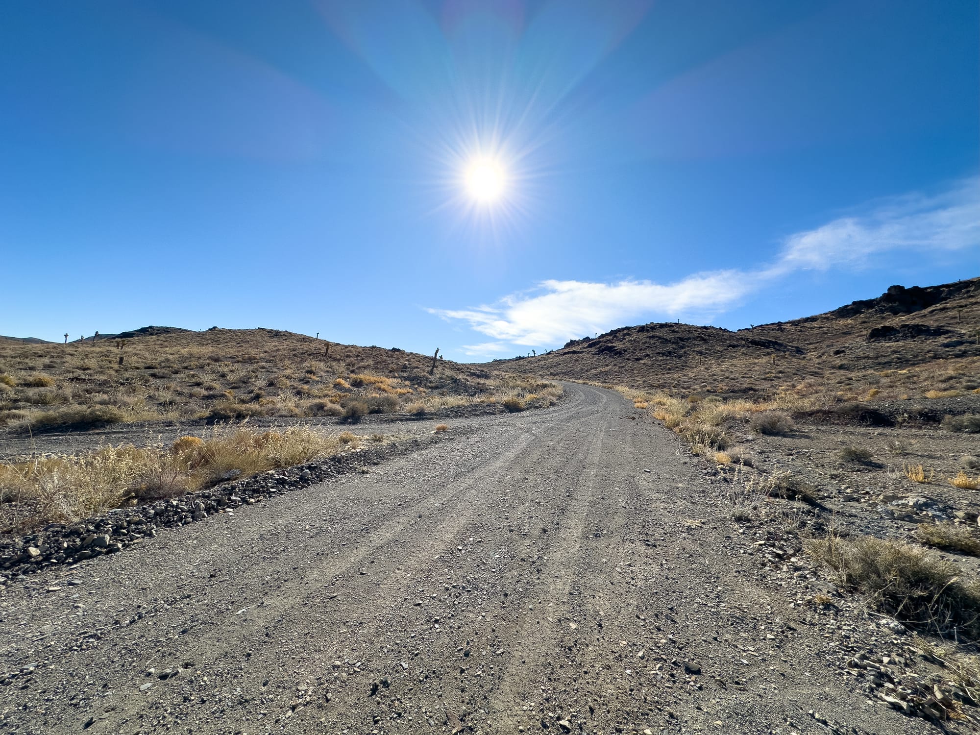
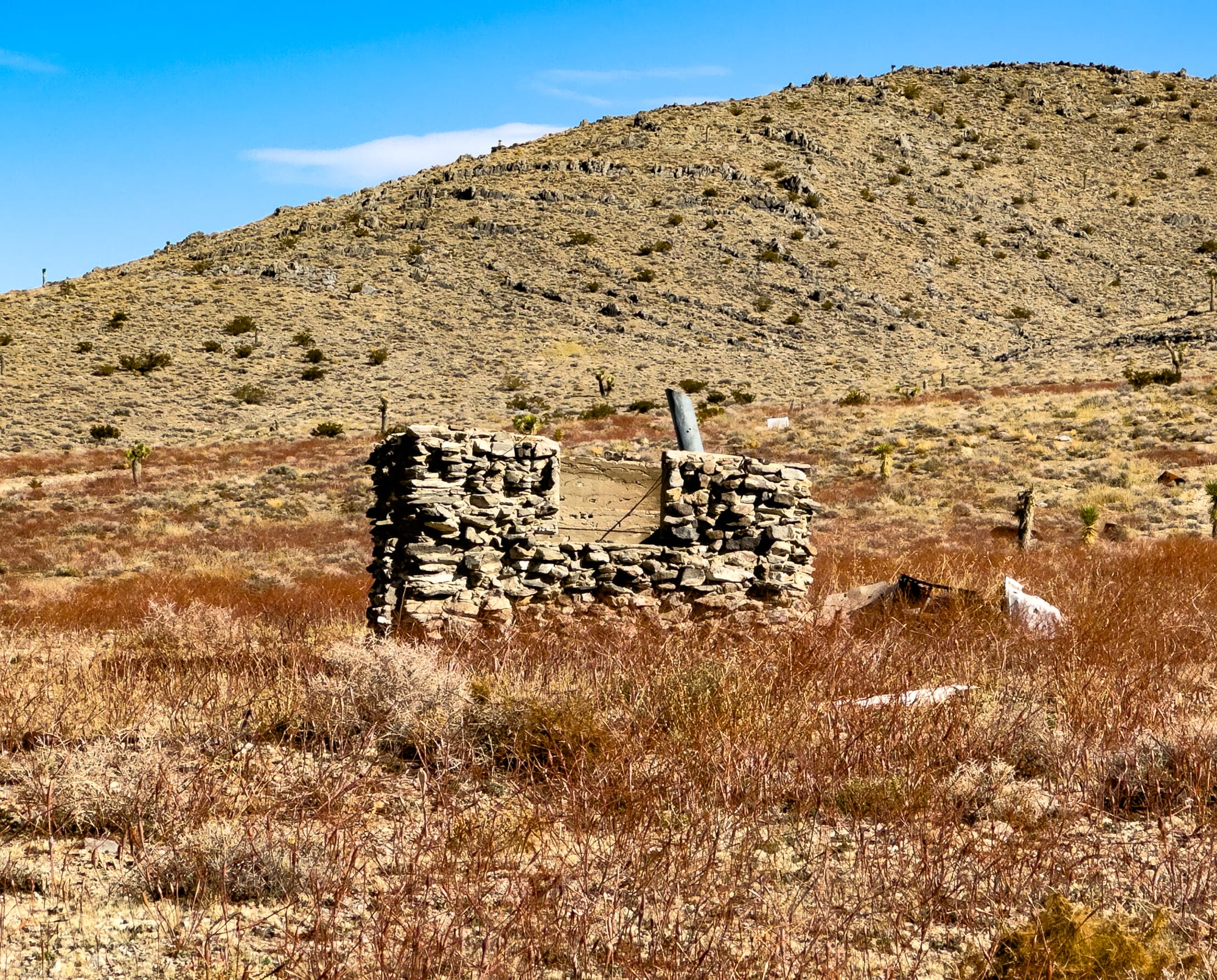
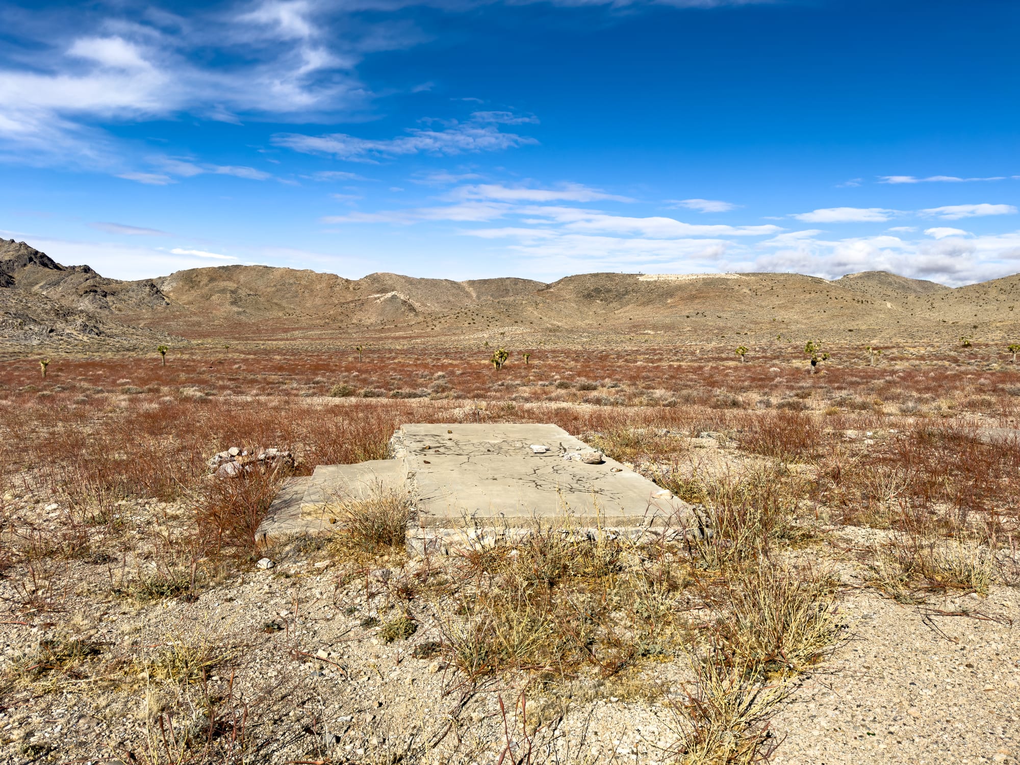
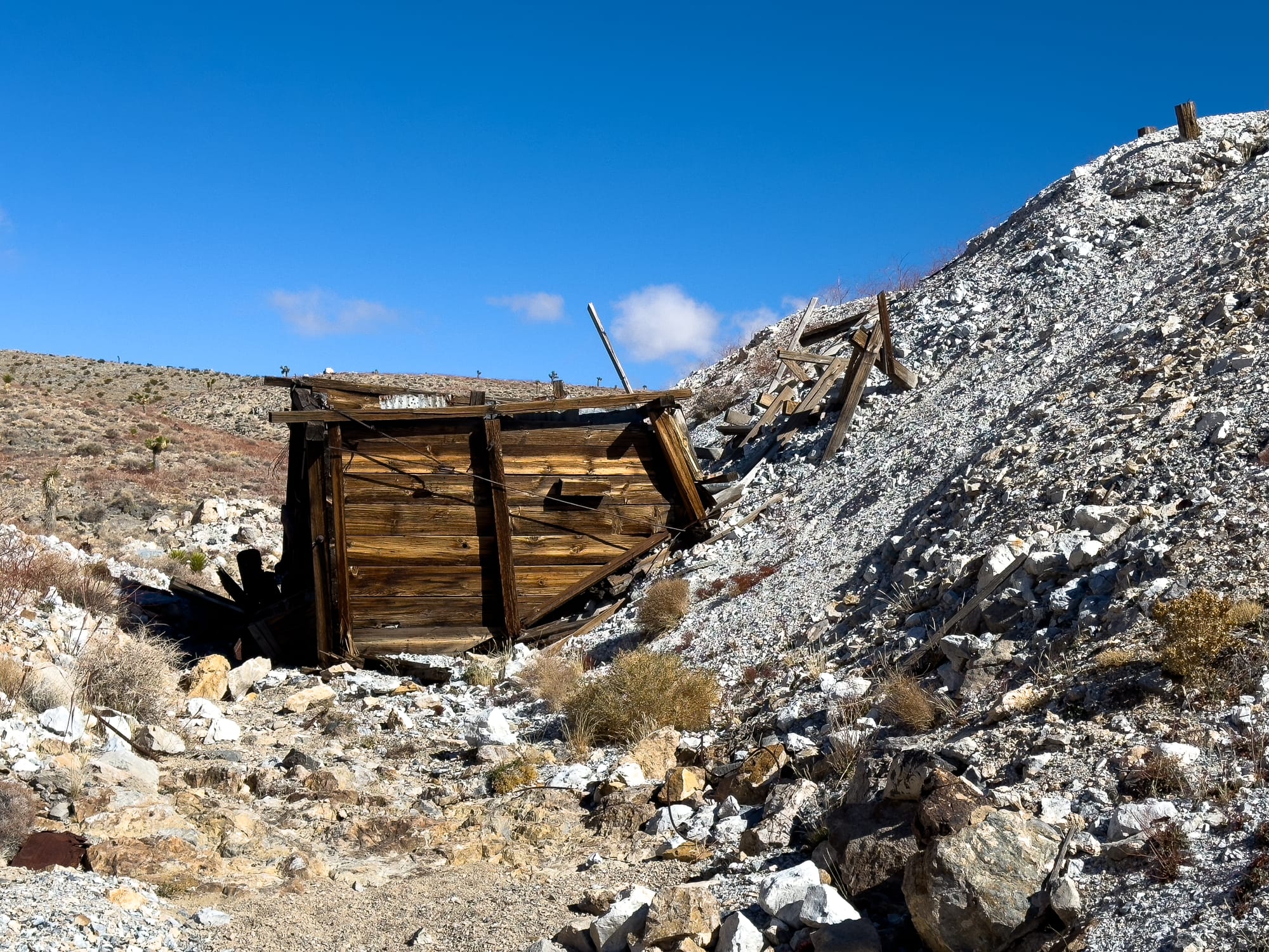
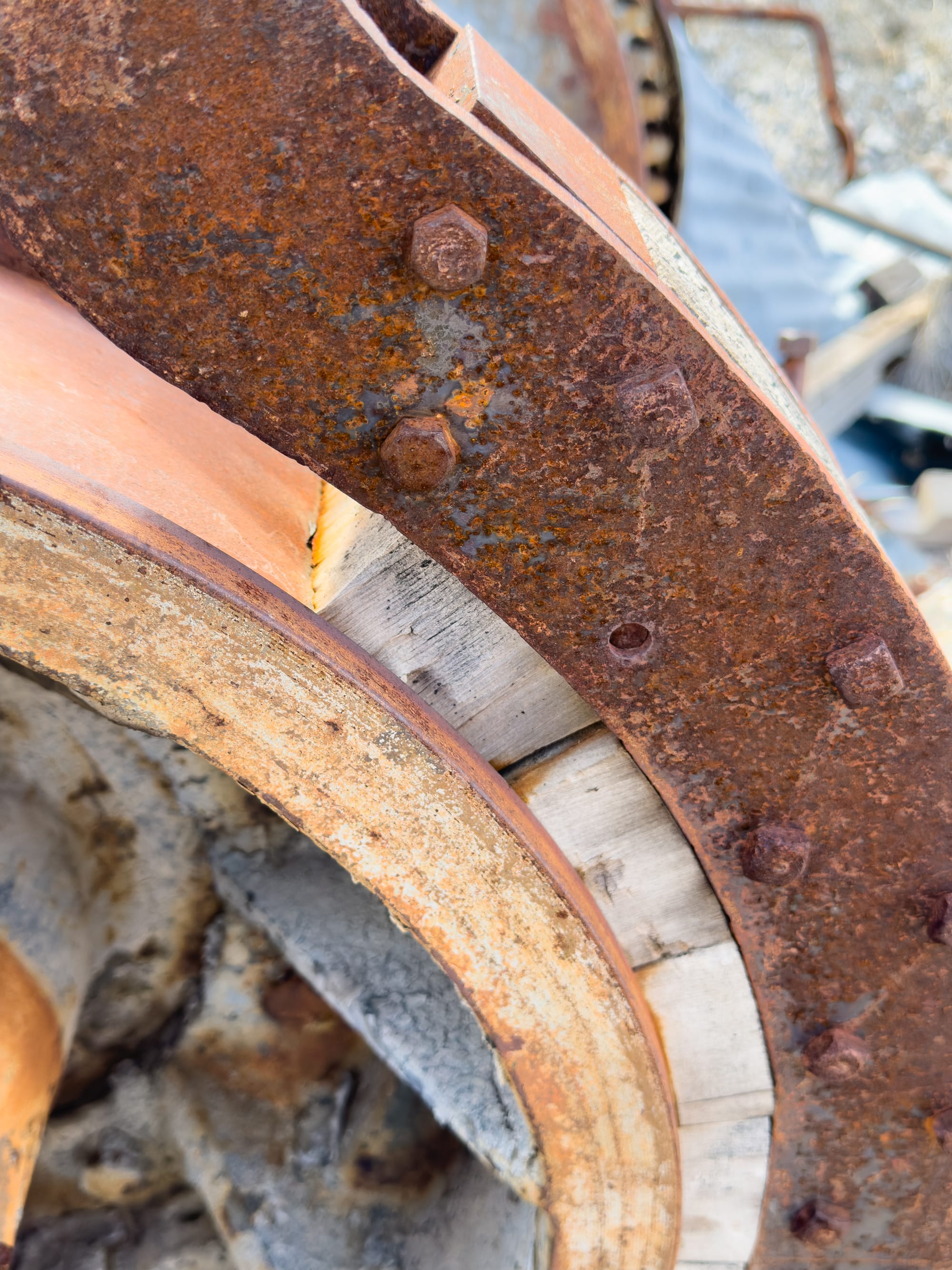
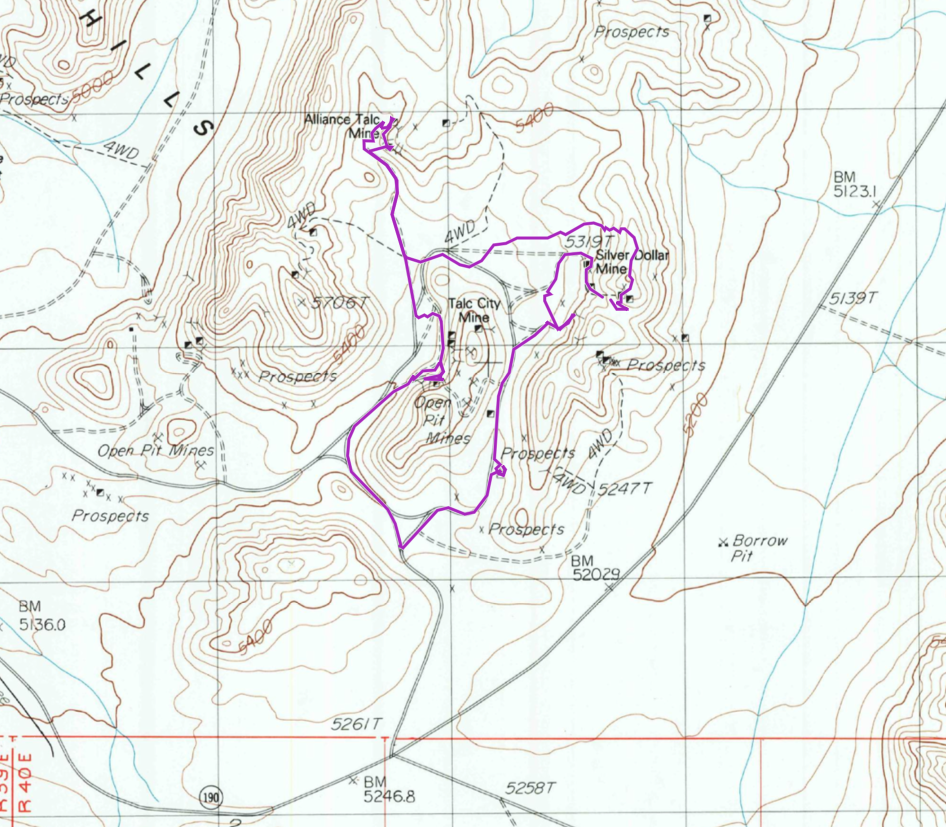
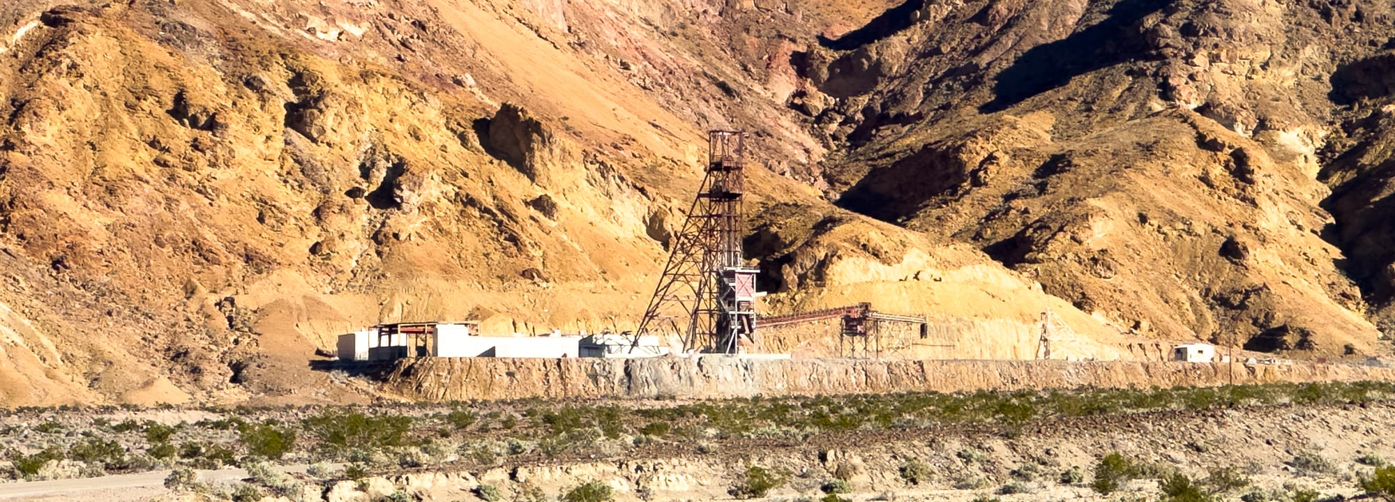
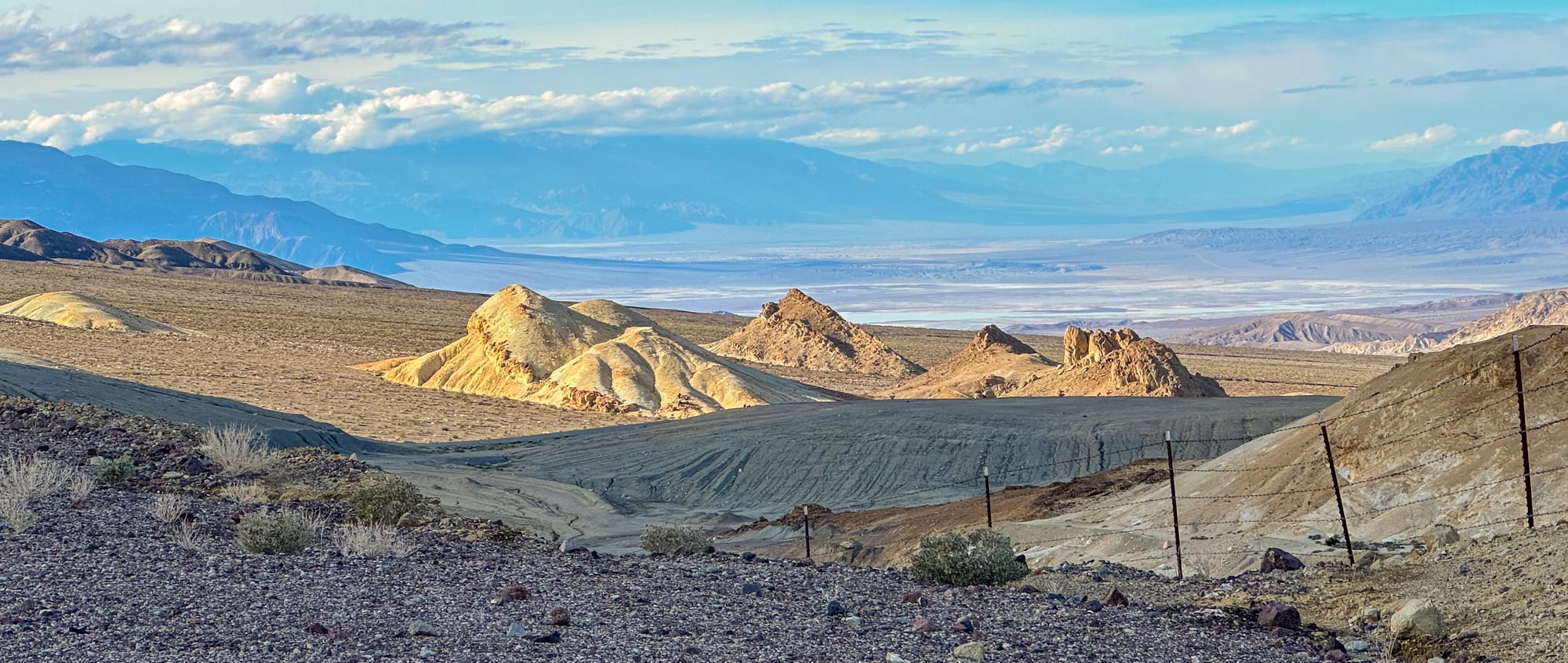
As we climbed up the road we passed the Talc City Mine to our west. From this view it was just a few terraces of waste rock and didn't look too impressive, but later on our loop we'd have our impressions corrected. After we crossed a small pass, we could see a rock cabin and some cement pads on the valley floor along with a largish ore box. This was the remains of Talc City and the ore bin was from the Silver Dollar Mine, one of the minor producers in the district.
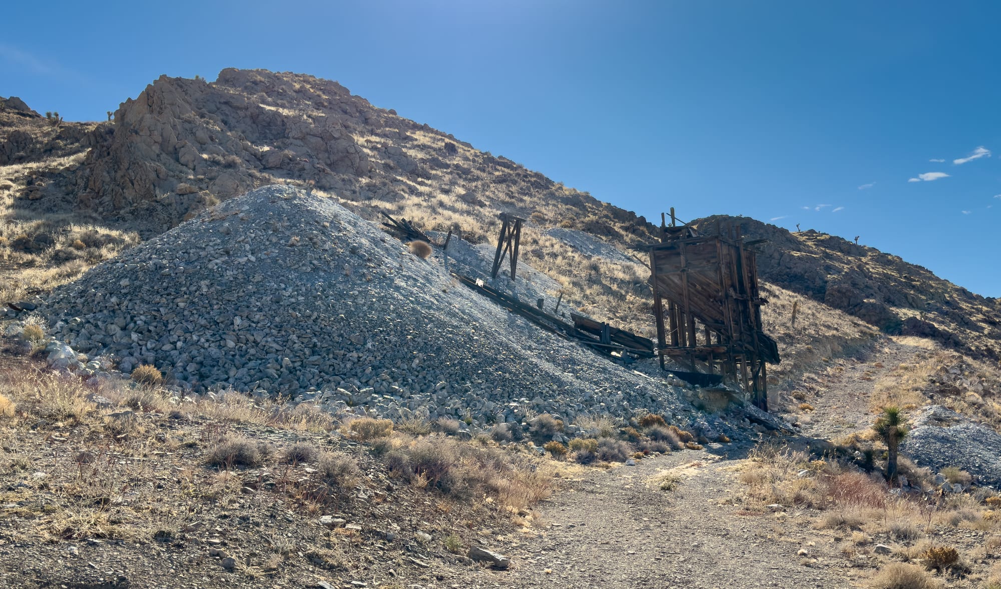
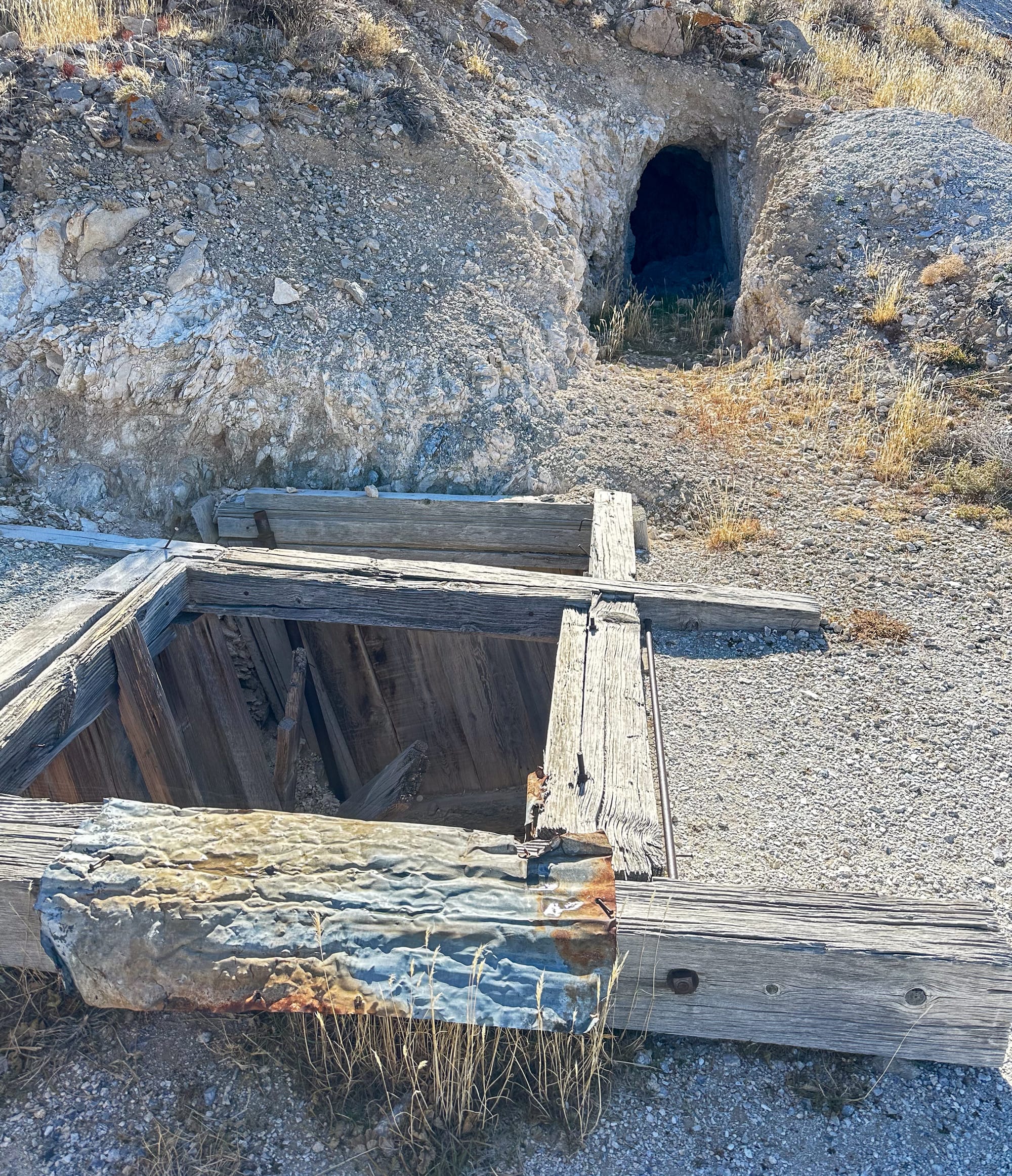
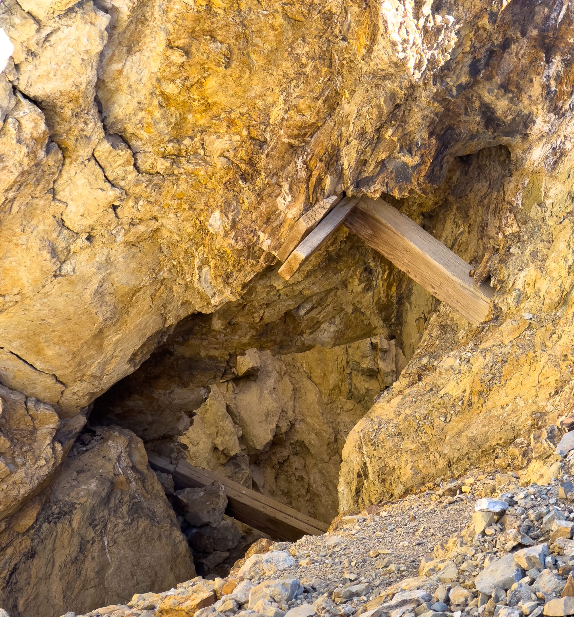
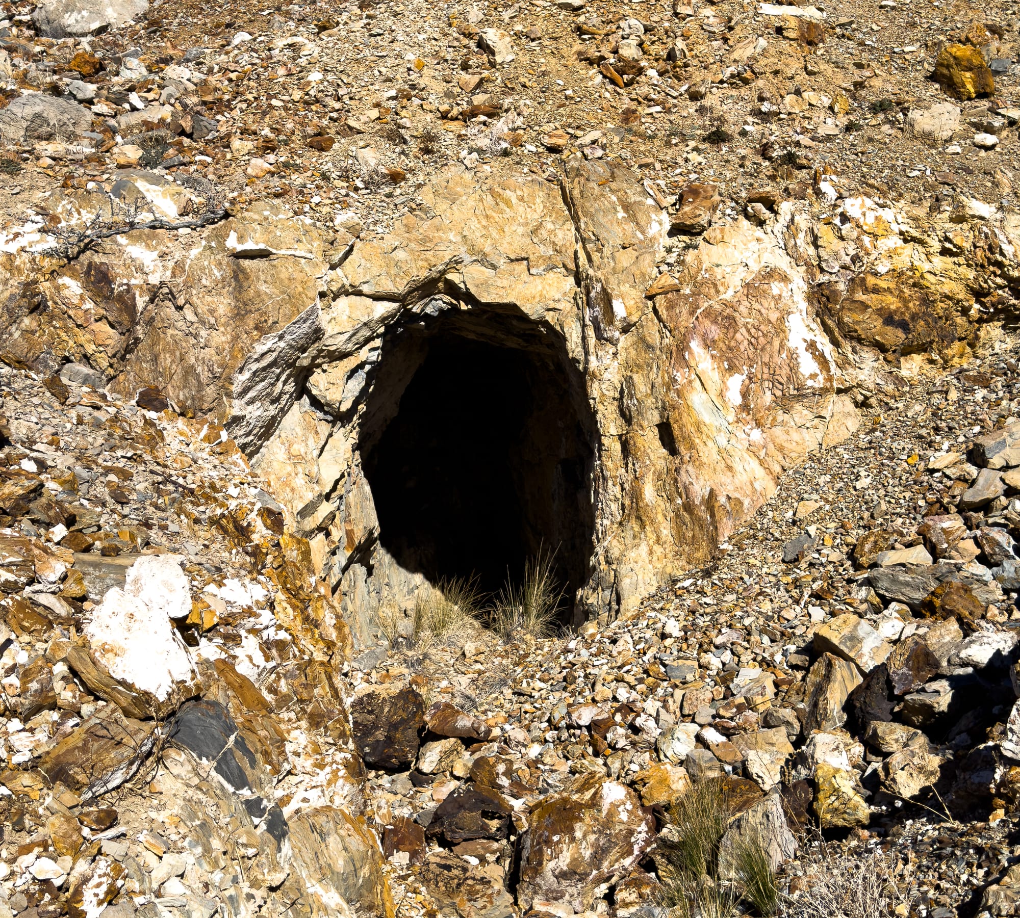
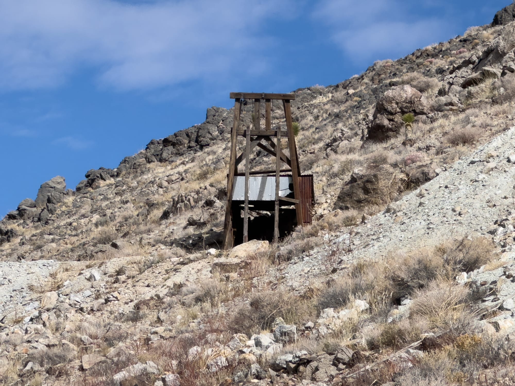
From the ore box, we continued up a mine road that was in pretty bad condition. It's a good thing we were on foot because it would be tough in a high-clearance 4x4. This road climbed to the upper workings of the Silver Dollar. These workings were a lot more erratic and clearly followed the surface exposures of the soapstone veins.
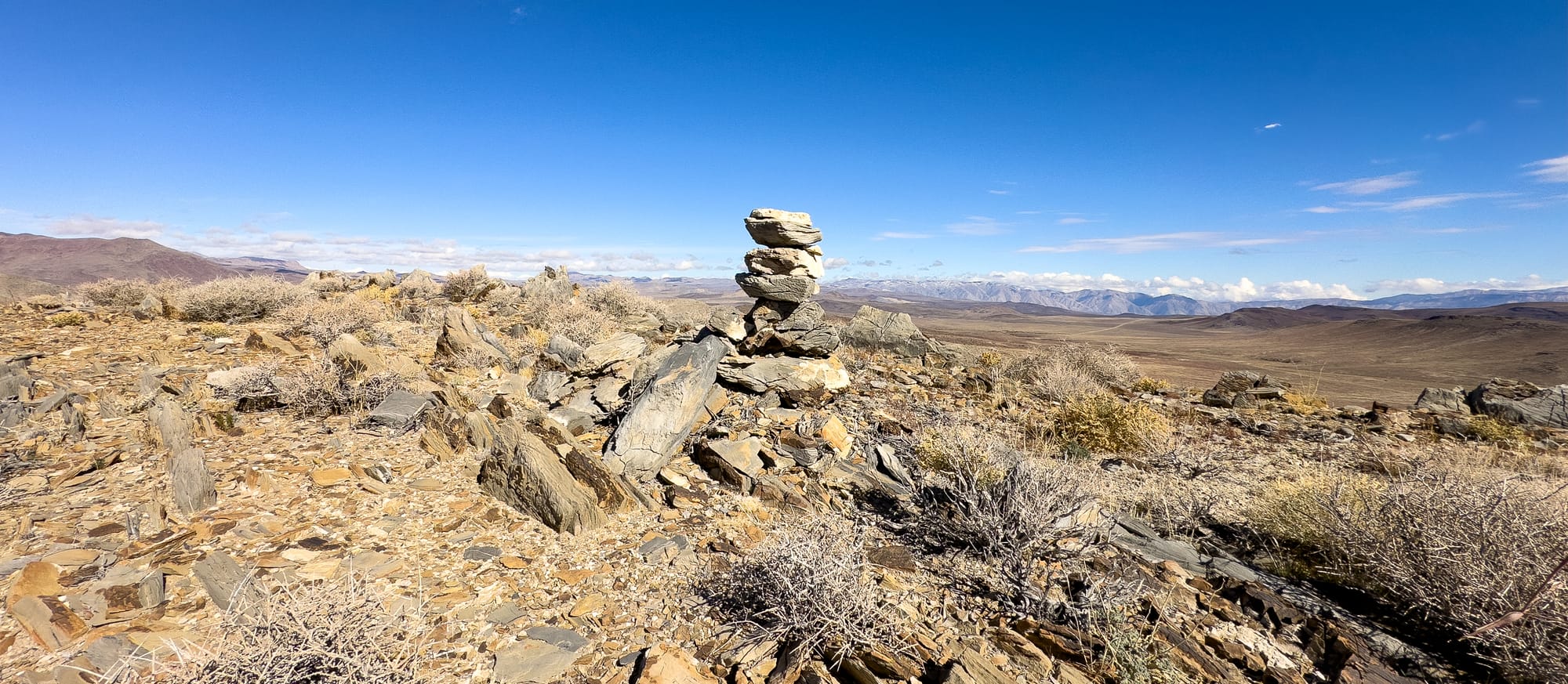
After exploring the Silver Dollar we took a jaunt up the ridge line to take in the views. In addition to the beautiful views (and relentless cold wind) we found the original location monument for the Silver Dollar Mine.
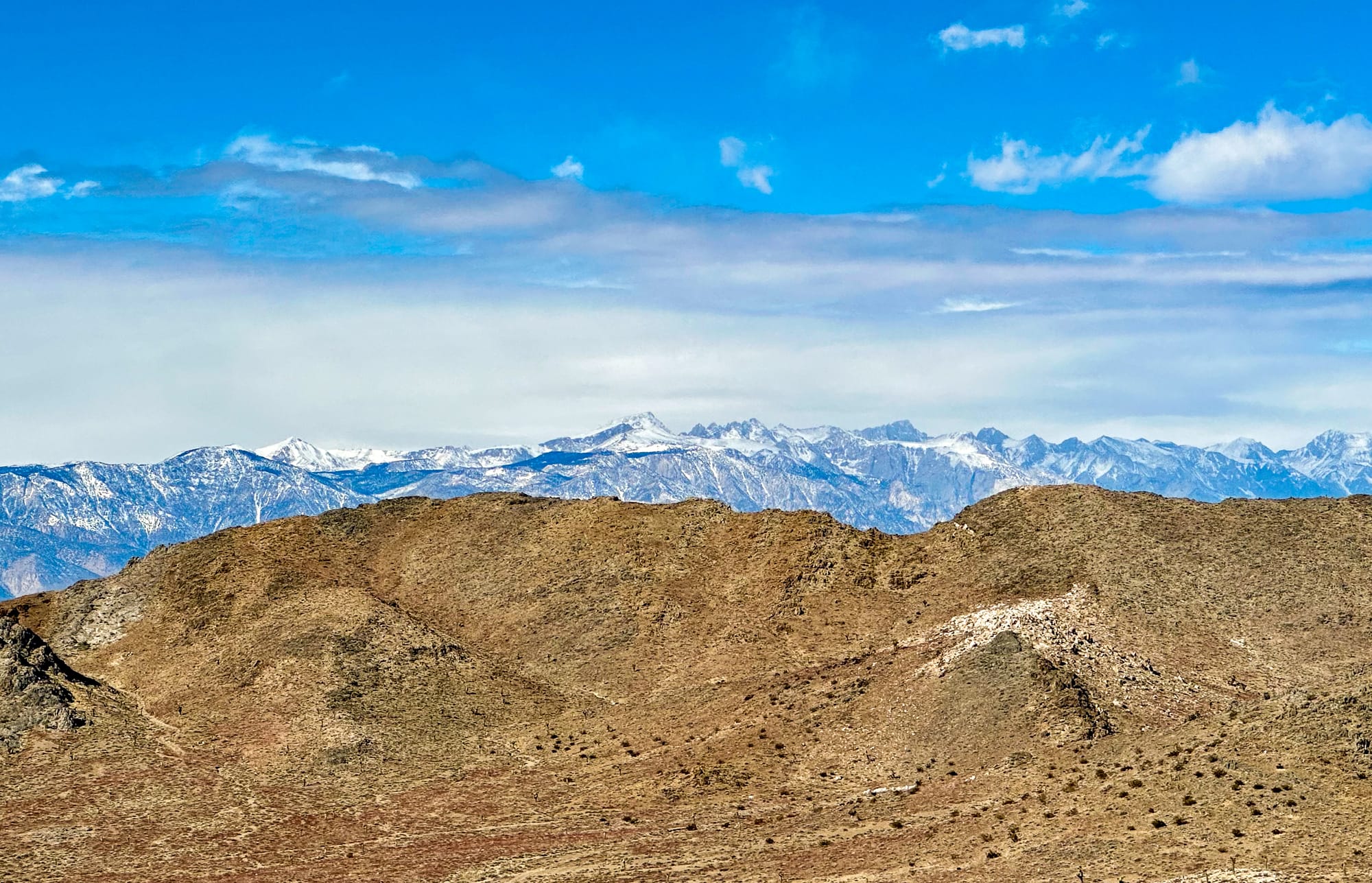
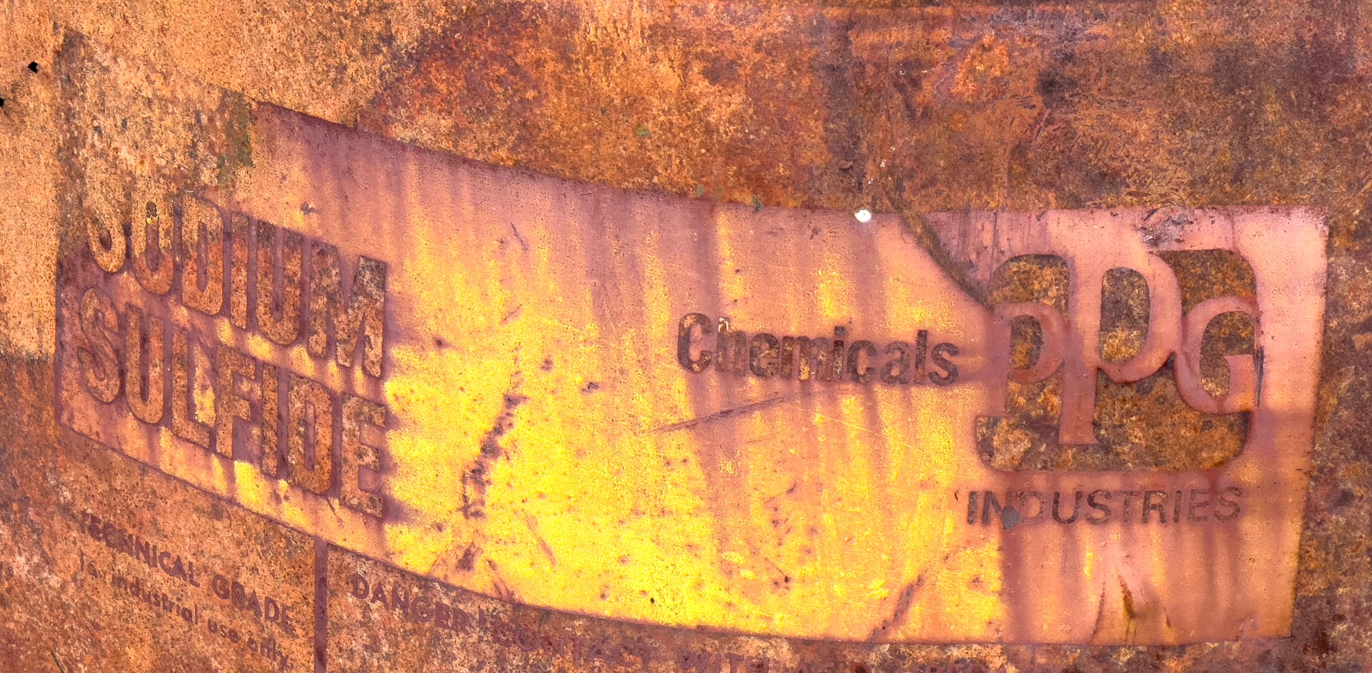
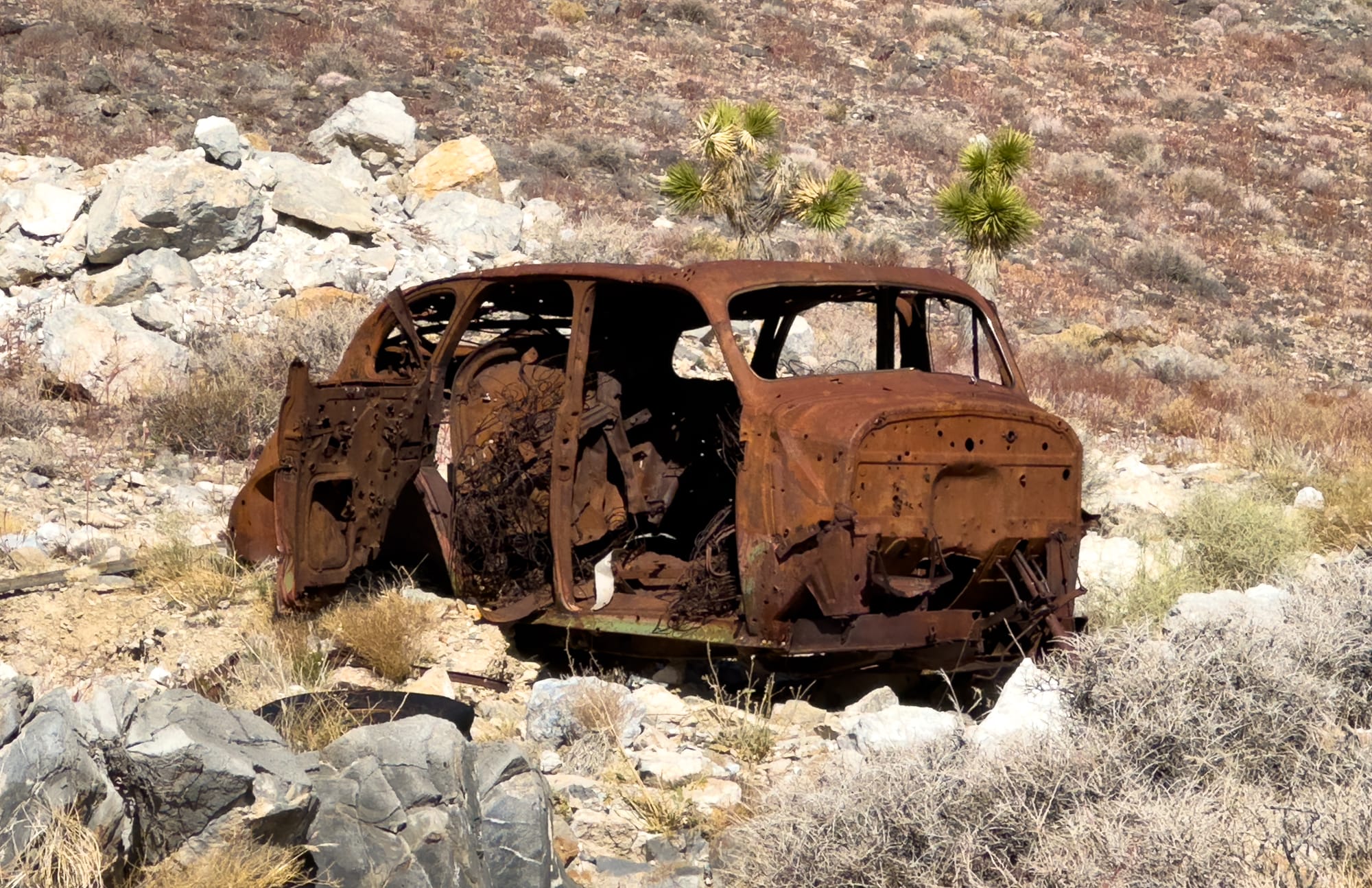
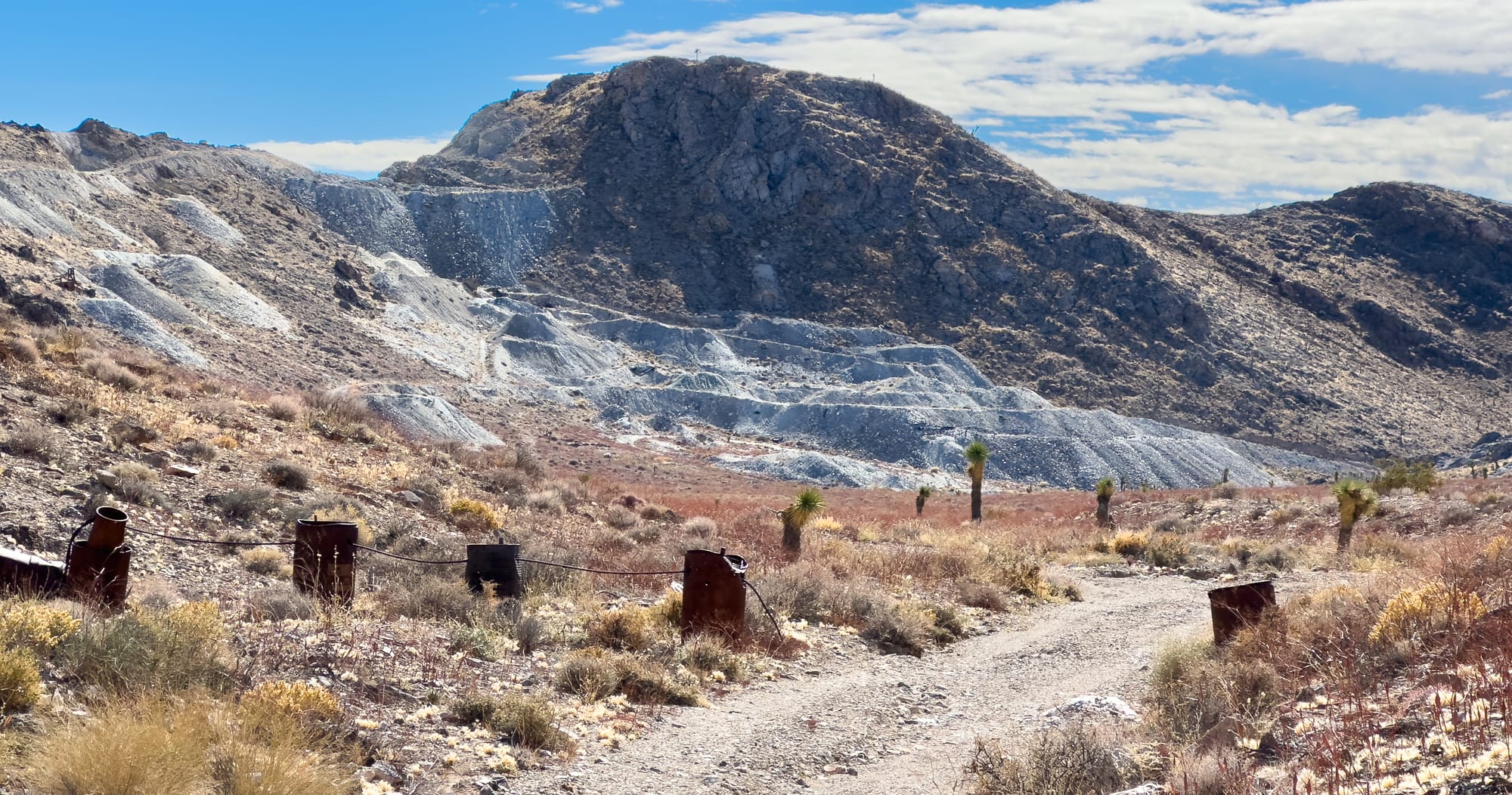
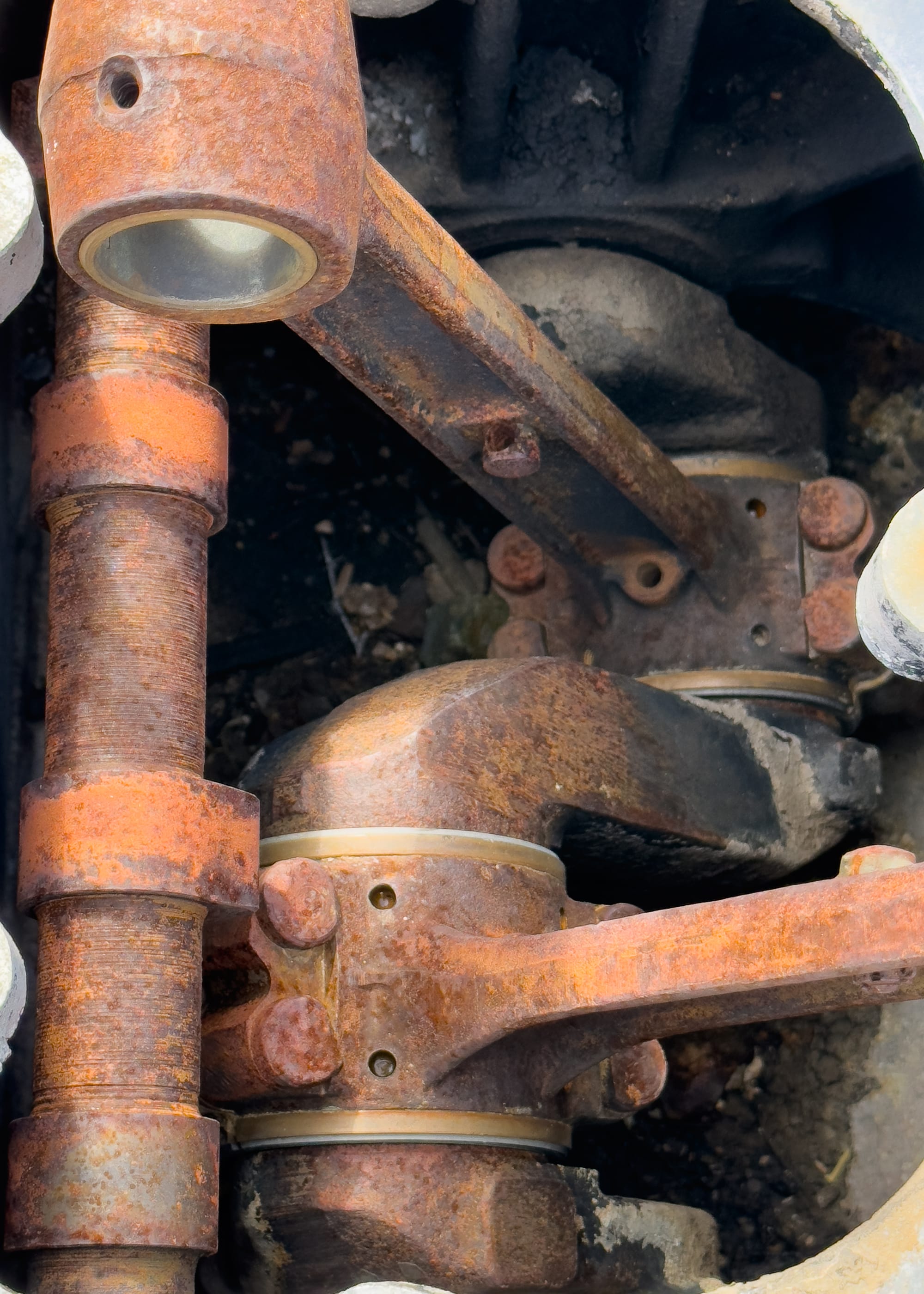
From here we descended off the ridge line back to the valley floor and headed north towards the Irish Claims which includes the Alliance Talc and Homestake mines. The Alliance was a more modern (1970s/80s) strip mine that removed the hillside that used to contain the Homestake. Mostly this was a ripped up landscape, but some rusty artifacts and an ore bin were still there.
From the Alliance, we turned back down the road and headed towards the Talc City Mine. The Talc City Mine, as the name suggests, became a focal point for talc mining in California, driven by the high-quality talc deposits found in the Talc City Hills. This mine was the major producer of the district. The specific type of talc mined in the Talc City Hills and surrounding areas, including Talc City, was predominantly steatite, also known as soapstone. Steatite is a talc-rich rock known for its softness, which is why talc (the mineral) has the lowest rating on the Mohs hardness scale, being easily scratched with a fingernail. This softness, combined with its resistance to heat, acids, and alkalis, makes steatite an incredibly versatile material. Steatite's composition is primarily that of talc (magnesium silicate), but it can also contain varying amounts of chlorite, pyroxene, amphibole, micas, carbonates, and other minerals that contribute to its physical properties and color variations. It is this composition that makes steatite remarkably durable against heat and a poor conductor of electricity, leading to its widespread use in both historical and modern applications. Some examples of those:
- Electrical components: Due to its insulating properties, steatite is used in electrical insulators, lighting fixtures, and heating elements.
- Industrial processes: Its resistance to heat and chemicals makes it suitable for use in a variety of industrial applications, including as a part of machinery in the textile and automotive industries.
- Art and sculpture: Its softness and durability continue to make steatite a preferred material for sculptors and artisans.
- Cosmetic and pharmaceutical applications: The talc from steatite is used in making powders and as a filler in a variety of cosmetic and pharmaceutical products.
- Culinary uses: In some cultures, steatite is used to make cookware due to its ability to retain heat and resist acids.
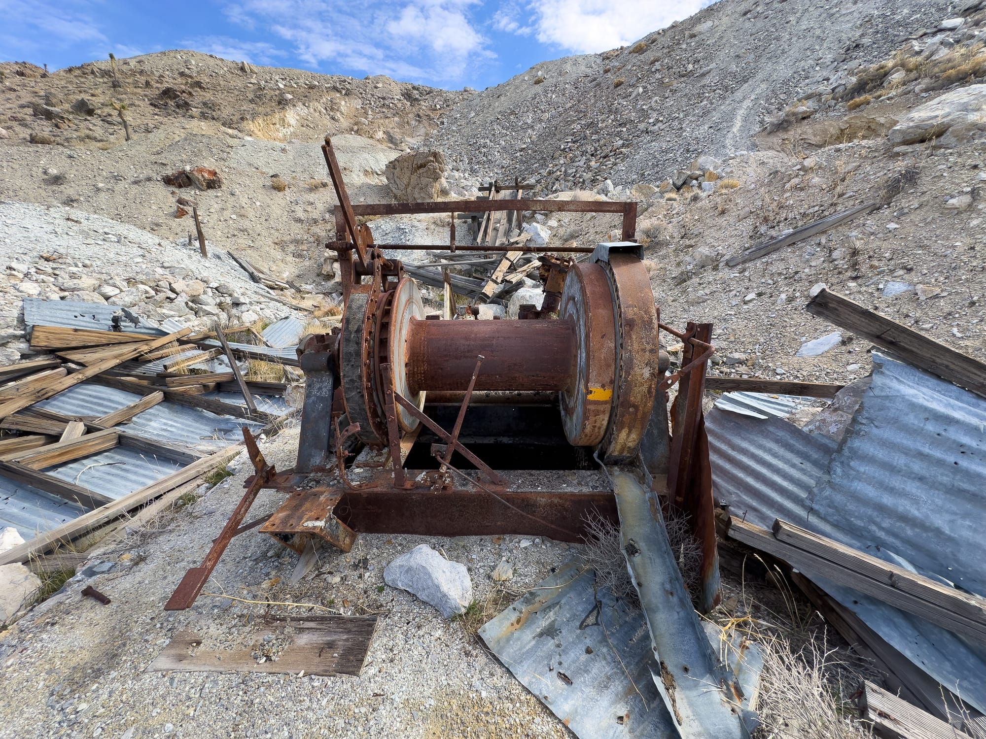
The extraction of steatite was labor-intensive and required careful techniques to preserve the integrity of the rock. Mines in the Talc City Hills would extract steatite in large blocks before further processing and refinement, depending on its intended use. While the peak of talc mining in this area has passed, the importance of steatite and its contributions to various industries remains significant.
Today, the legacy of steatite mining in the Talc City Hills and Talc City is evident in the abandoned mines and mining infrastructure that dot the landscape. These sites serve as a reminder of the region's rich geological history and the role that natural resources have played in human development and industry.
Bonus Trip: The Boraxo Mine, Death Valley
On the drive back to Pahrump, we still had some daylight and decided to finally check off a to do list item - the Boraxo Mine in Death Valley.
While the era of the 20 Mule Teams has long passed, the legacy of borax mining continues to shape the cultural and historical landscape of Death Valley. The region's mining history is preserved in several sites, including interpretive trails and museum exhibits that tell the story of borax in Death Valley. The impact of these mining operations on the landscape and the environment is also a subject of study and interest, reflecting on the balance between resource extraction and conservation, especially within the context of a national park.
When Death Valley was designated as a national monument in 1933 (and later re-designated as a national park in 1994), existing mining claims were grandfathered in, allowing them to continue operations despite the new focus on conservation and protection of natural landscapes. As a result, the Boraxo Mine, a strip mine, continued to operate within the boundaries of Death Valley National Monument until 1977 when Tenneco Mining shut it down.
There has been much controversy surrounding the Boraxo Mine, and indeed any mining operations within Death Valley National Park, that stems from the tension between conservation efforts and resource extraction activities. It's too bad the NPS hasn't done anything with the site because it would serve as a good centerpiece for discussing what our limits are as a society when it comes to changing nature to meet societal needs.
That's all for this adventure.