A Wild Loop Through Death Valley: Saratoga Spring, Pongo Mine, and Old Ibex Pass

Distance: ~12-15 miles, depending on how much wandering you do.
Difficulty: Moderate. Some route-finding, no shade or respites from the sun, soft sand will be very tiring for those unaccustomed with desert hiking.
Water: There is none. Bring all you need, and then some.
Gear: Navigation tools, sun protection, and a good sense of direction. A headlamp if you misjudge your pace.
When to Go: Winter and early spring. Any other time, you’re just tempting fate.
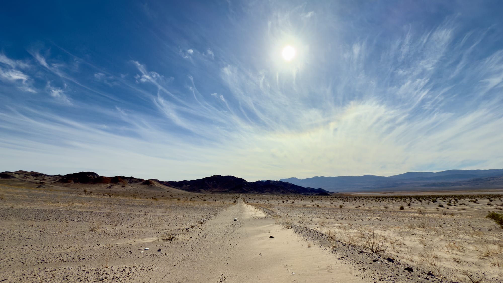
The desert doesn’t care if you’re here. It doesn’t change for you, doesn’t soften. It will chew you up, spit you out, and let the wind erase your tracks. That’s the beauty of it. And if you’re the type who likes your hikes with a side of solitude and rusting ghosts of industry, then this loop from Saratoga Spring through Pongo Mine and Old Ibex Pass is a fine way to spend a day; or, if you mess up, lose yourself forever.
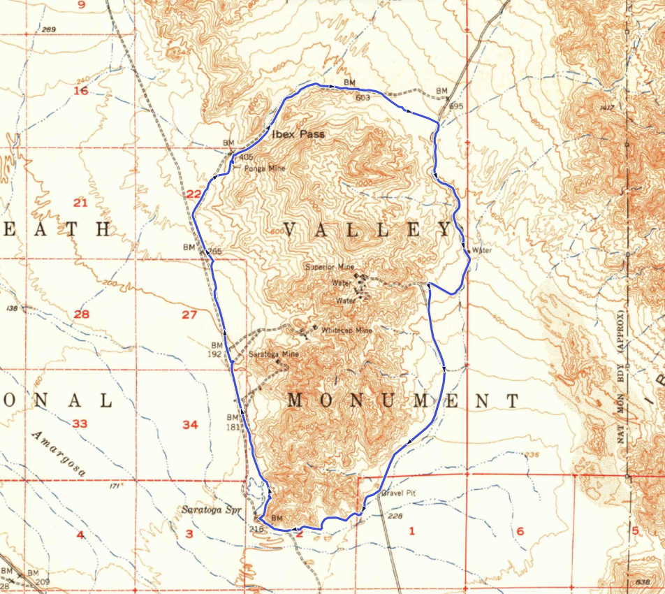
We followed the older 1940s to 60s road (left topo) which don't map onto the modern roads completely.
The Route
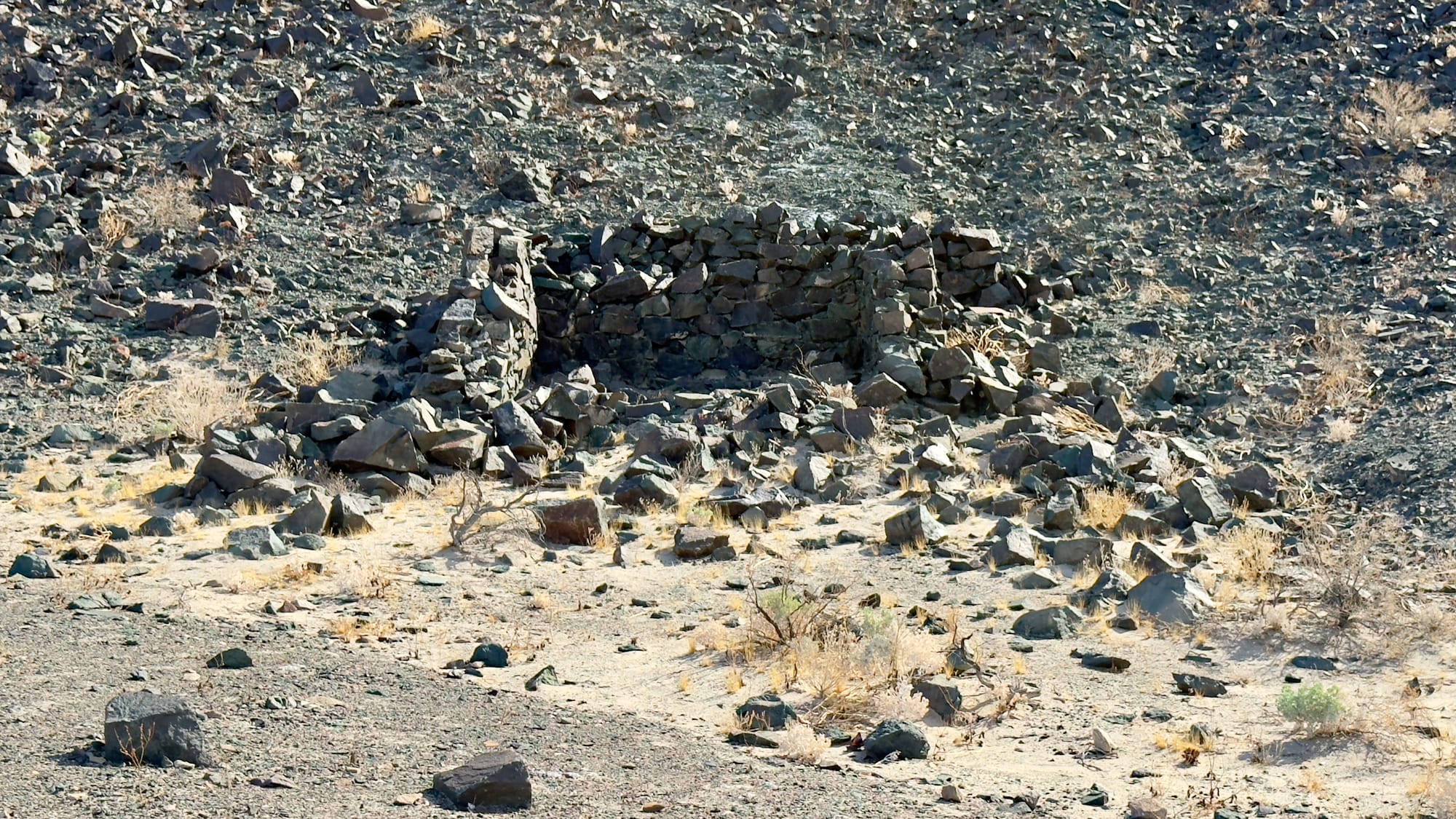
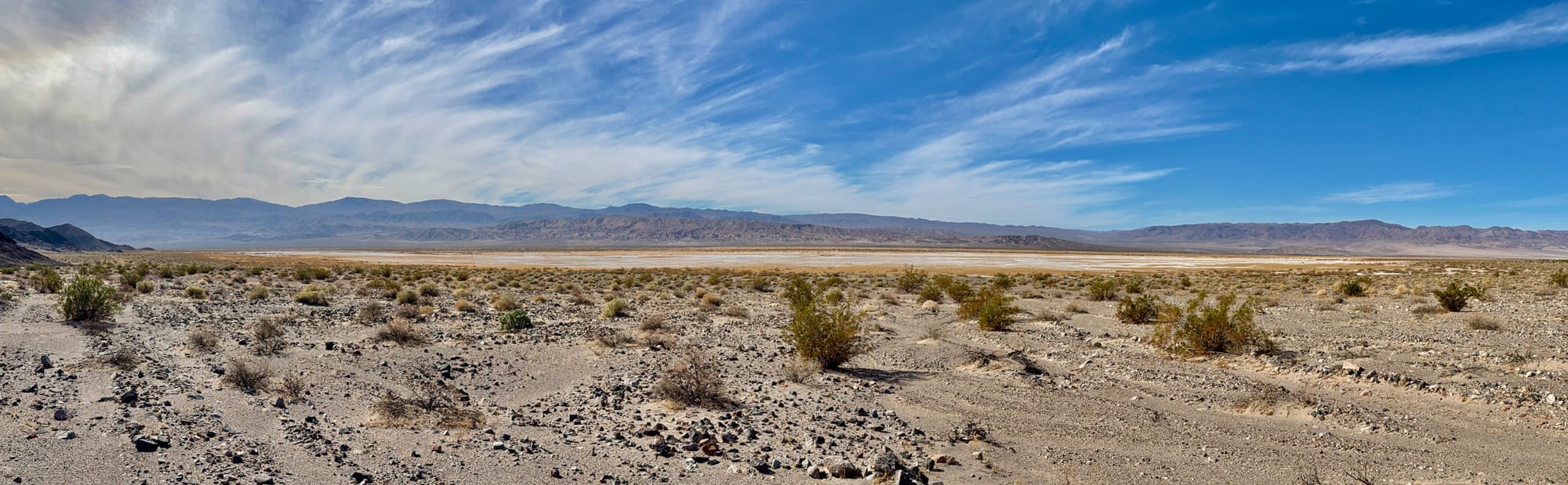
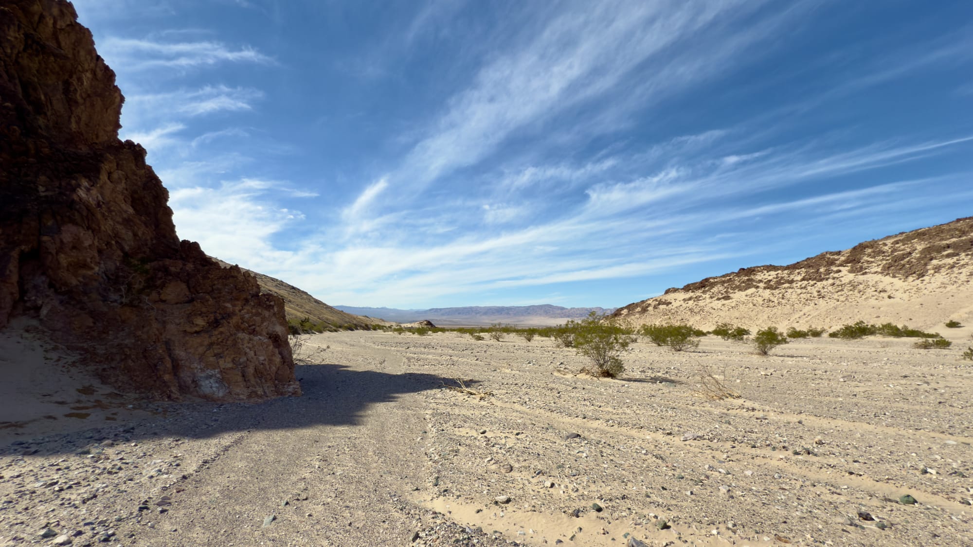
Starting at Saratoga Spring, a lush, defiant little oasis in the belly of Death Valley, the wife and I headed past the Road Closed sign cresting the small hill that suddenly reveals the life-giving waters that have slaked the thirst of many weary desert traveler, both man and otherwise. Scattered nearby are the remnants of old stone cabins, built in the late 19th century and later repurposed by miners and schemers chasing fleeting fortunes. A blacksmith shop, a store, even a short-lived water bottling venture, each left its mark, now crumbling under the weight of time and desert indifference. Today, only the walls remain, half-fallen and sunbaked, silent witnesses to a century of hard living and harder lessons.
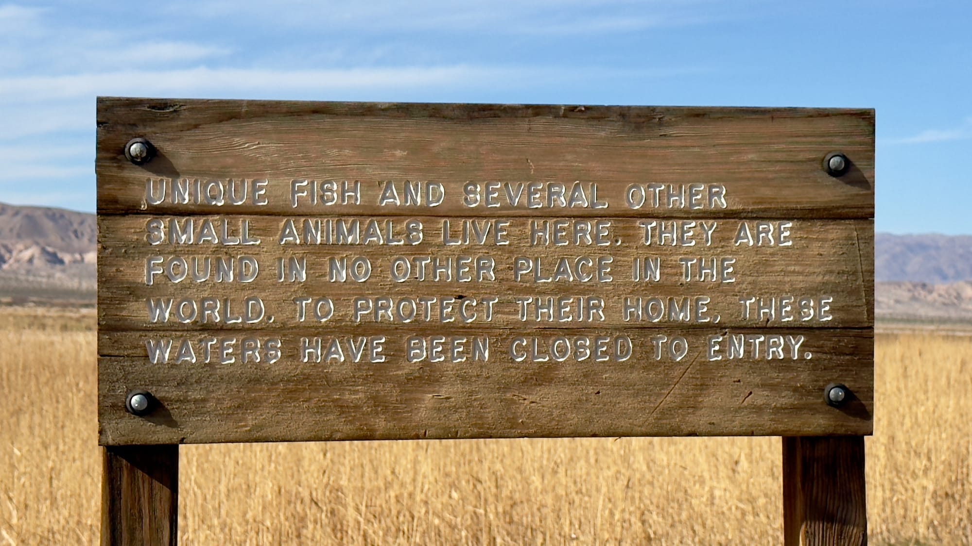
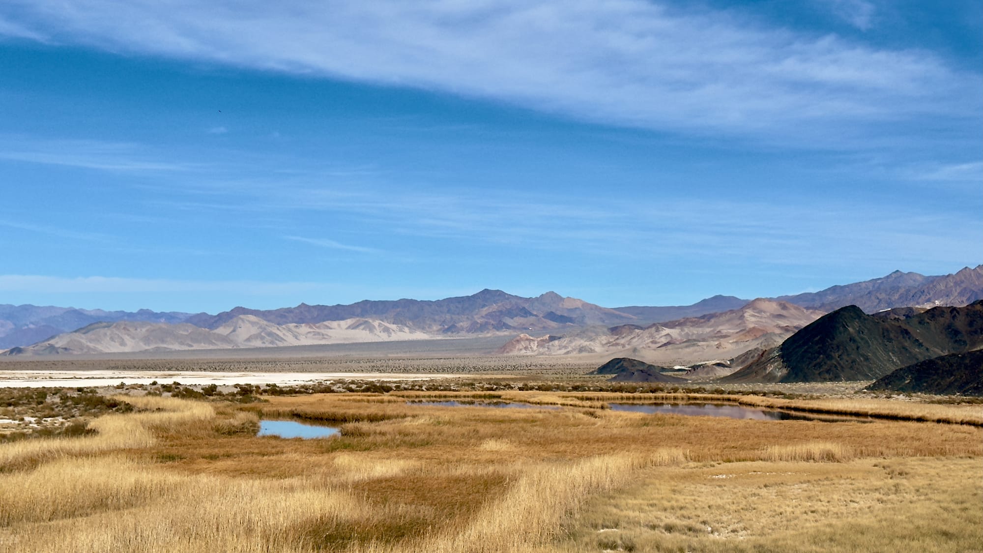
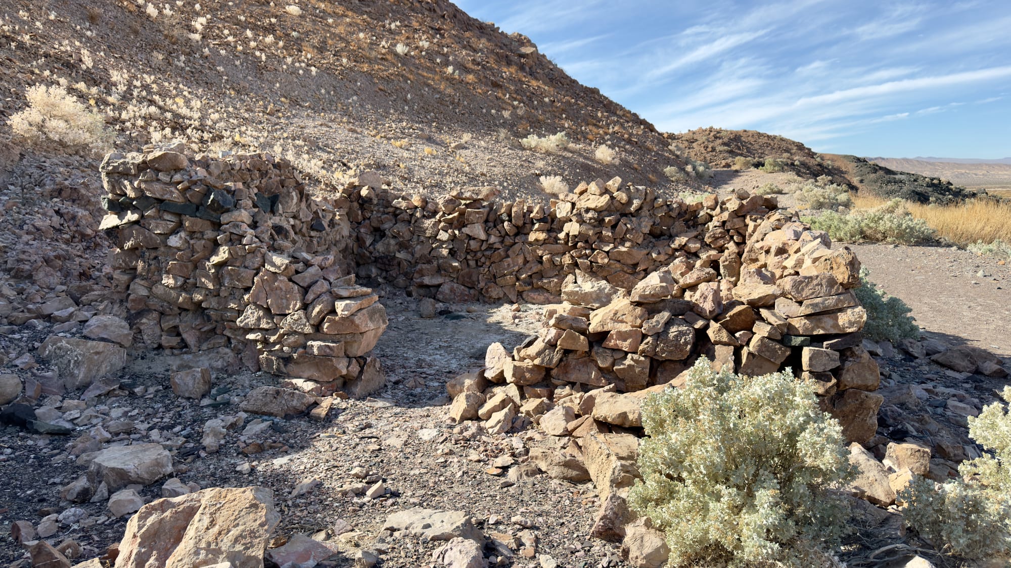
Top Left and Center: Stay out of the beautiful and sensitive water. Top Right, Bottom Left: Ruins of the old store and one-lunger house (not sure which is which). Bottom Right: follow the faint road until the next intersection.
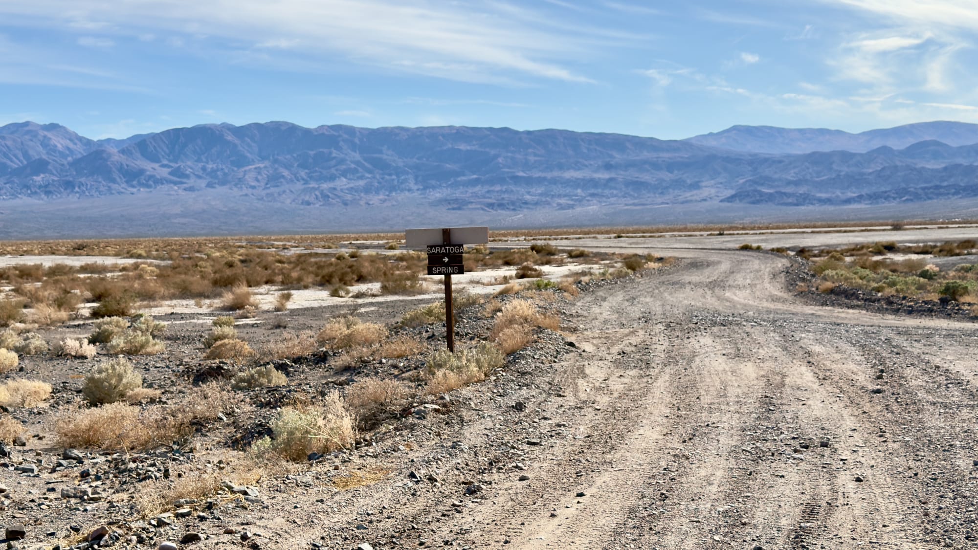
Using the old 1940s USGS topo, the wife and I push northwest toward Pongo Mine, following a collection of old mining roads, sometimes obvious, often not, occasionally missing altogether. There is one main road as you leave Saratoga Spring, but just past the turn for the Saratoga Mine (great side trip) where the map shows BM 192 you'll need to pick one of several options.
The Saratoga Mine is a great side excursion but will add mileage.
Left: Just passed BM 192, the obvious choice would be the clear path east which eventually joins with a north-south road. Right: We went the less clear path and followed the older road.
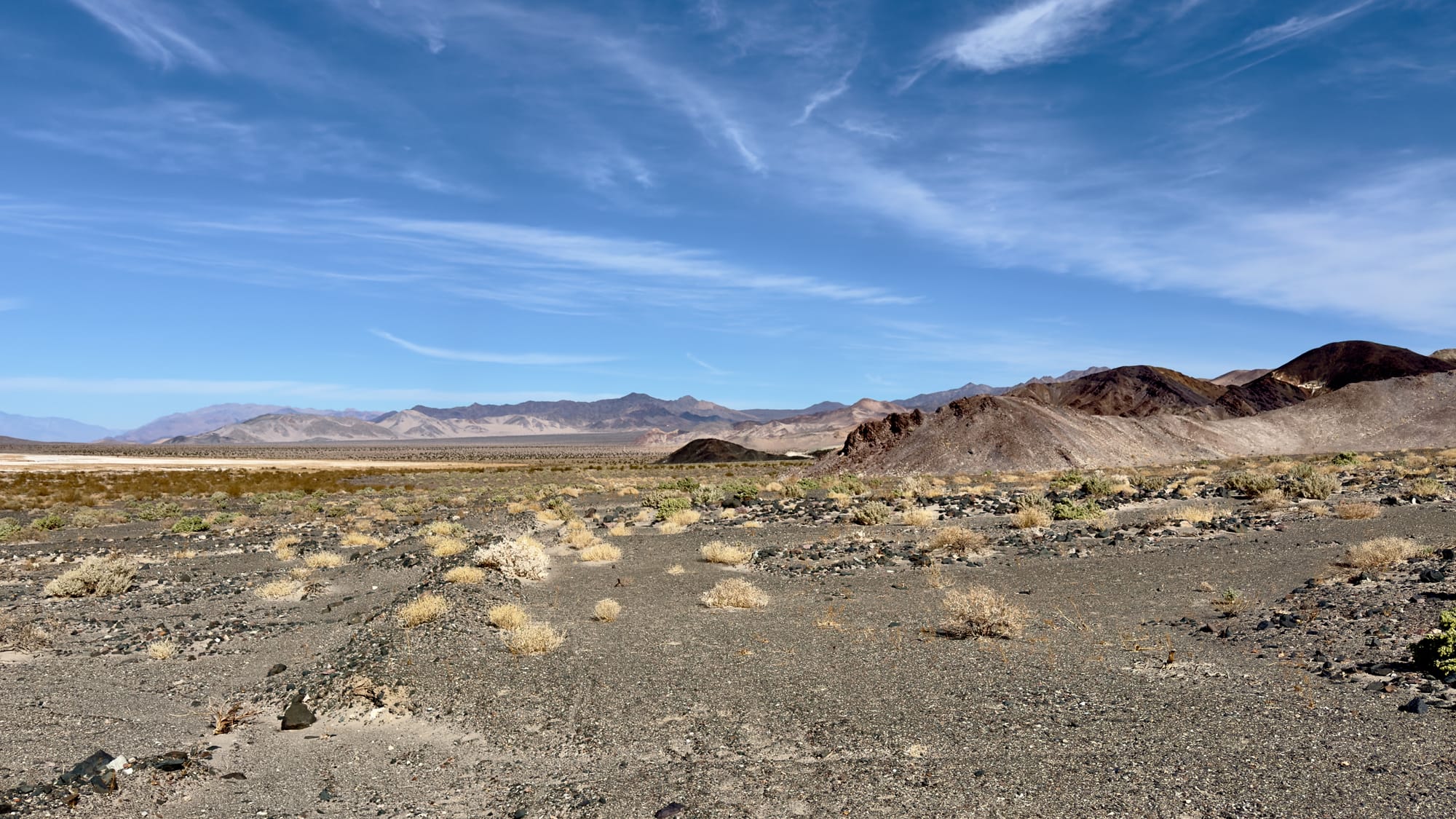
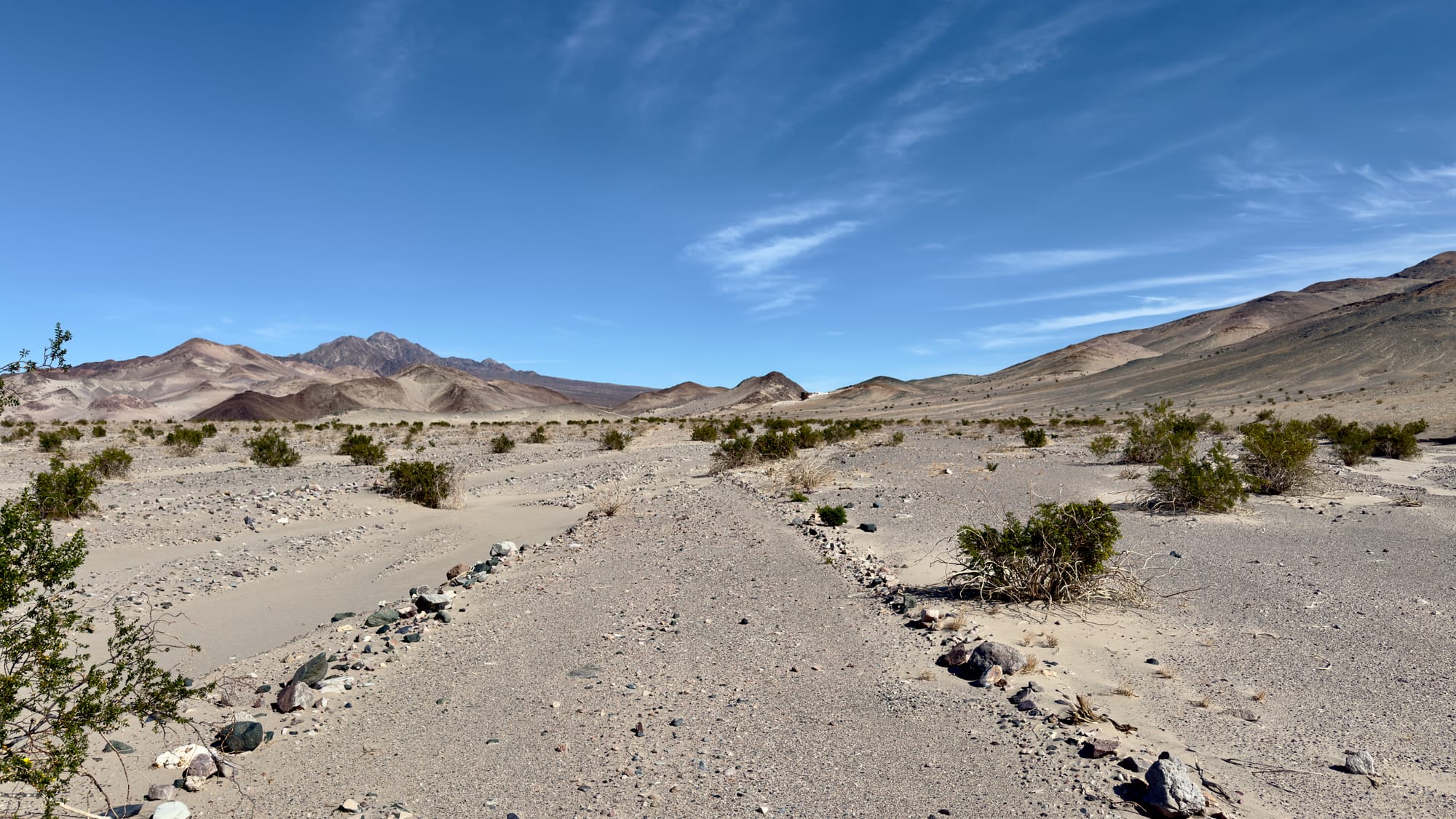
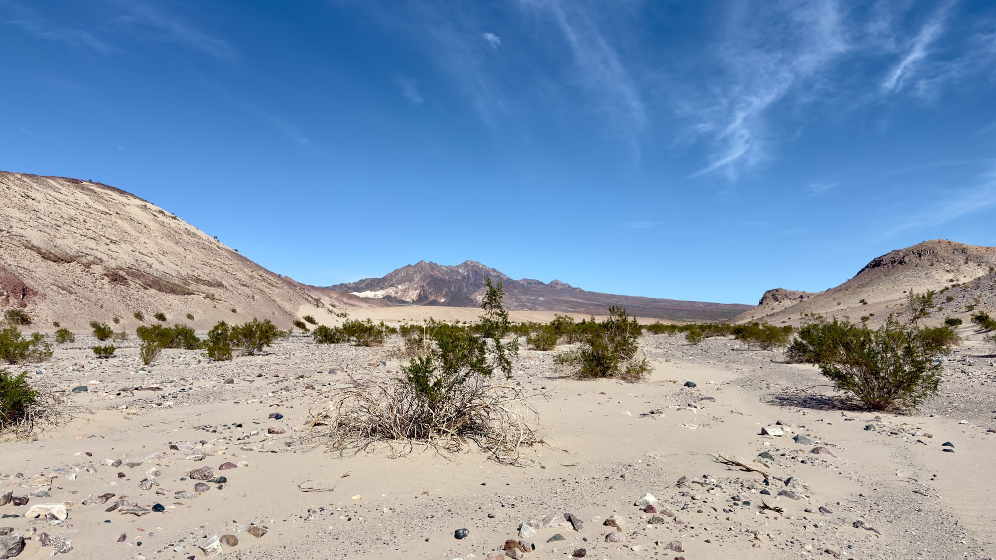
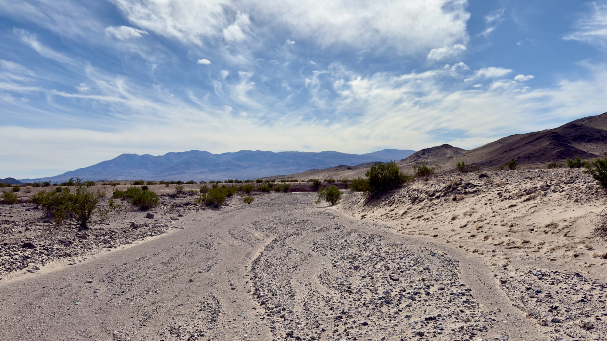
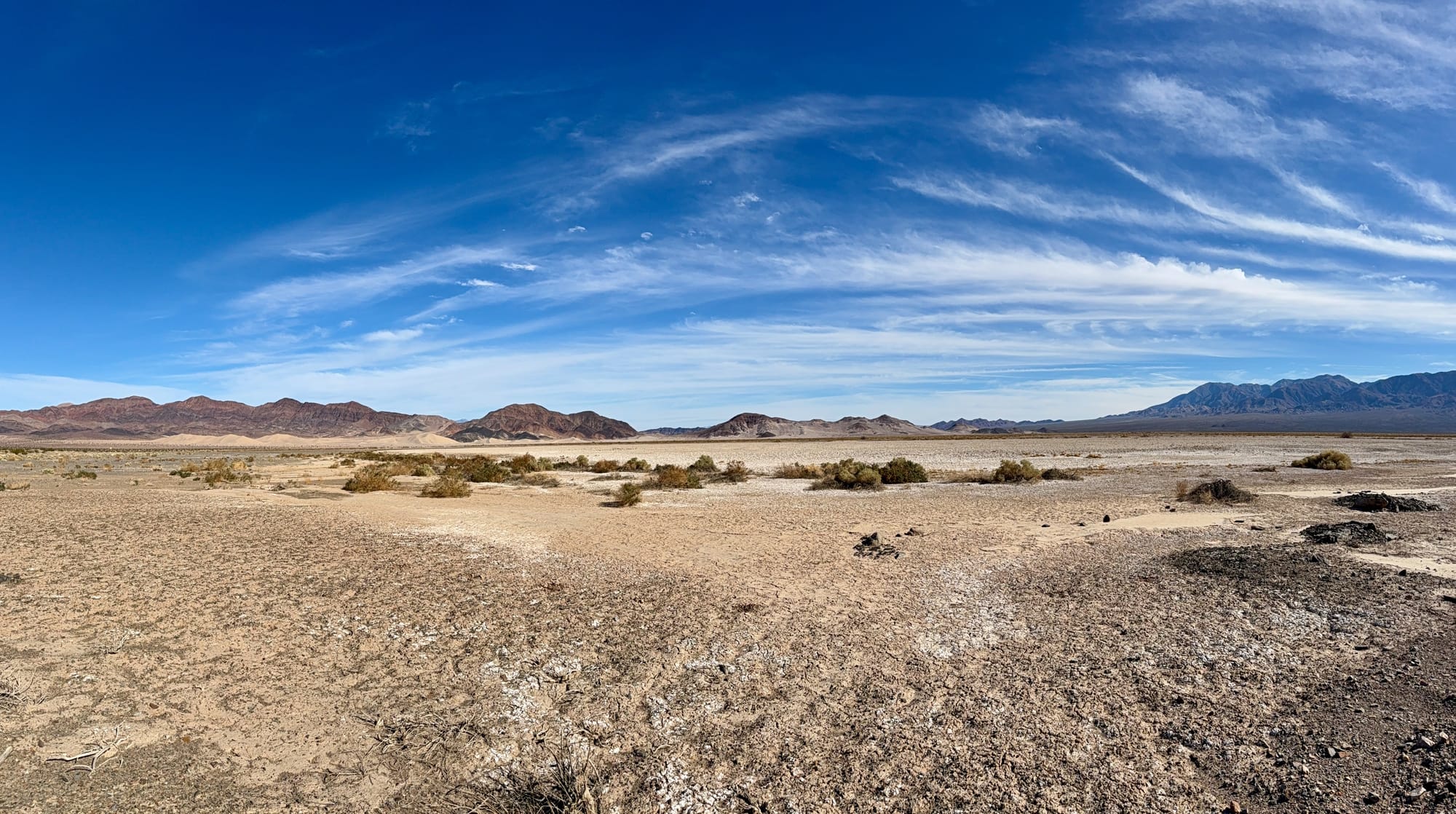
We found the middle fork and followed that until it eventually petered out so we veered easy and joined a more modern, albeit still abandoned, road. All along this part you are walking up the eastern fringe of Buckwheat Wash which drains the Ibex Hills and Talc Hills into the Amargosa River watershed. This section isn’t some well-manicured park trail. It’s a wander through time and rock, picking through faint tracks and washes, past scattered bones and tumbleweeds.
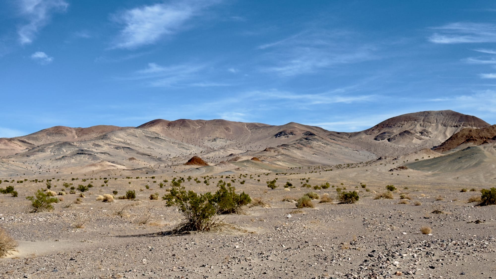
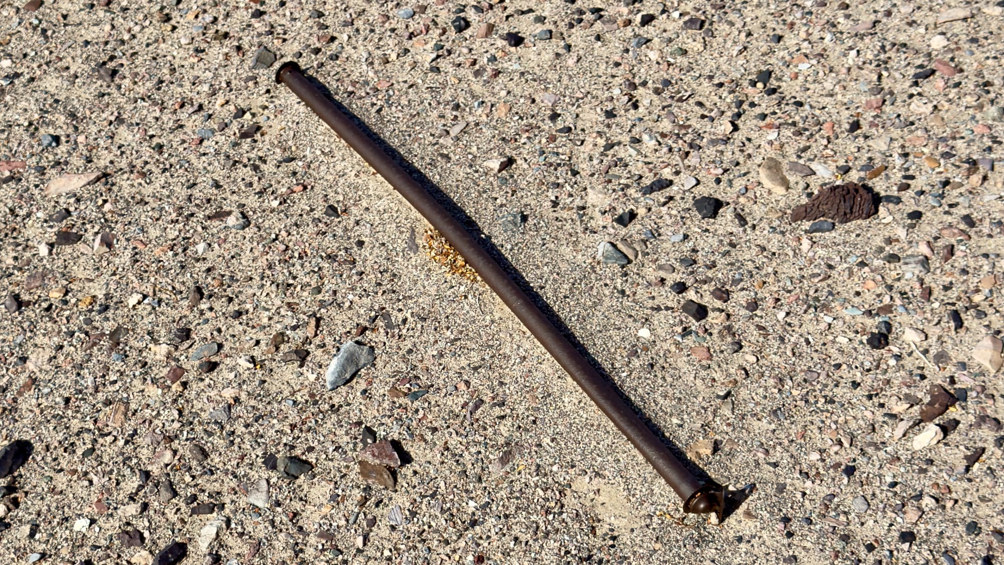
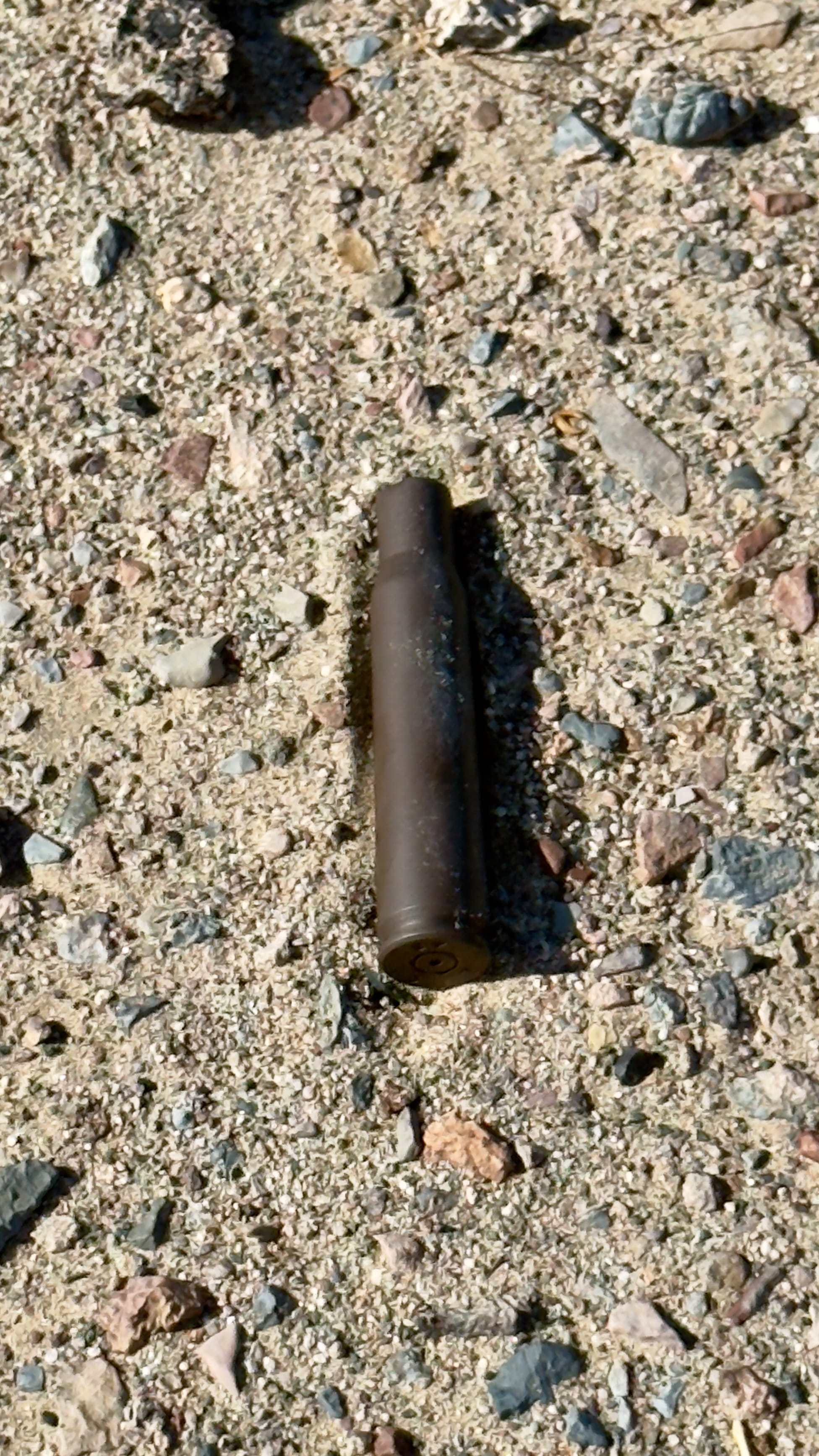
Top Left: Looking back at the expanse of the Amargosa River route. Top Center: The geology and terrain along here is very different than other parts of the park and among my favorite. Top Right: A curtain rod washed down from someplace in the hills. Bottom Left: A .50 caliber shell from a BMG; stamped LC 43 so manufactured in 1943 at the Lake City Munitions Plant in Independence, Missouri. Bottom Right: Looking back down the more modern road after we lost the middle route.
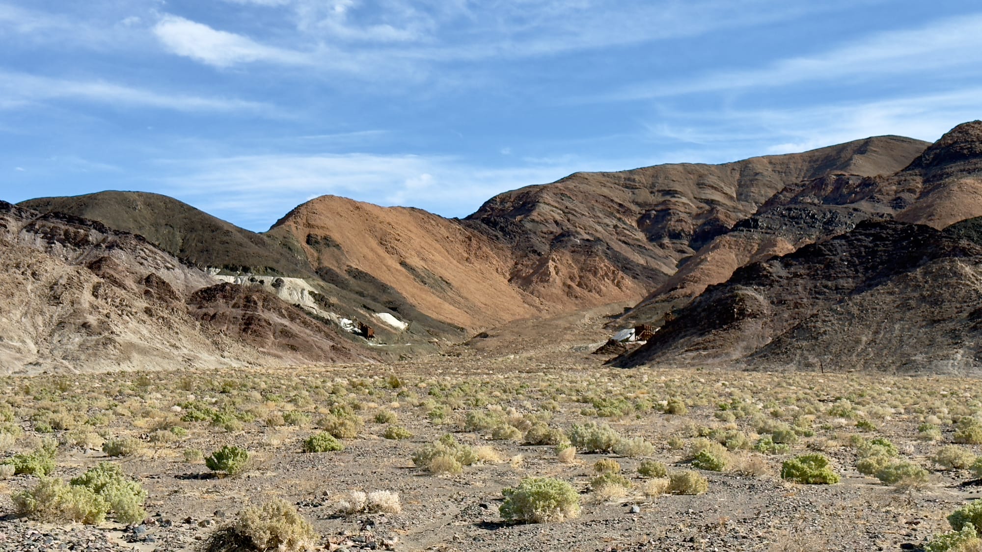
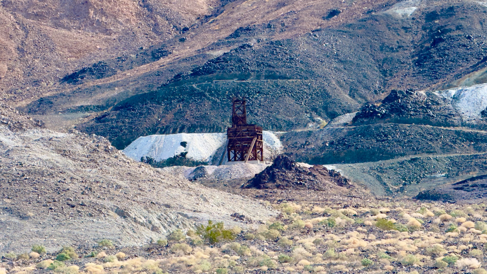
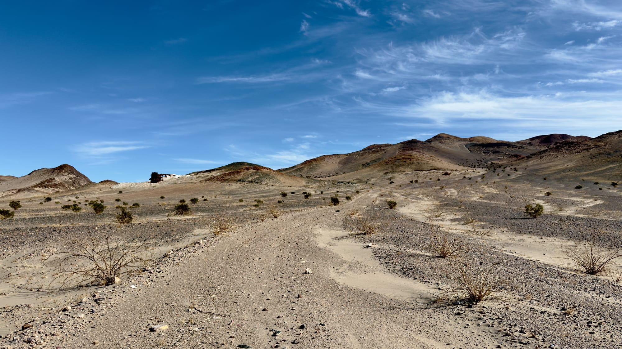
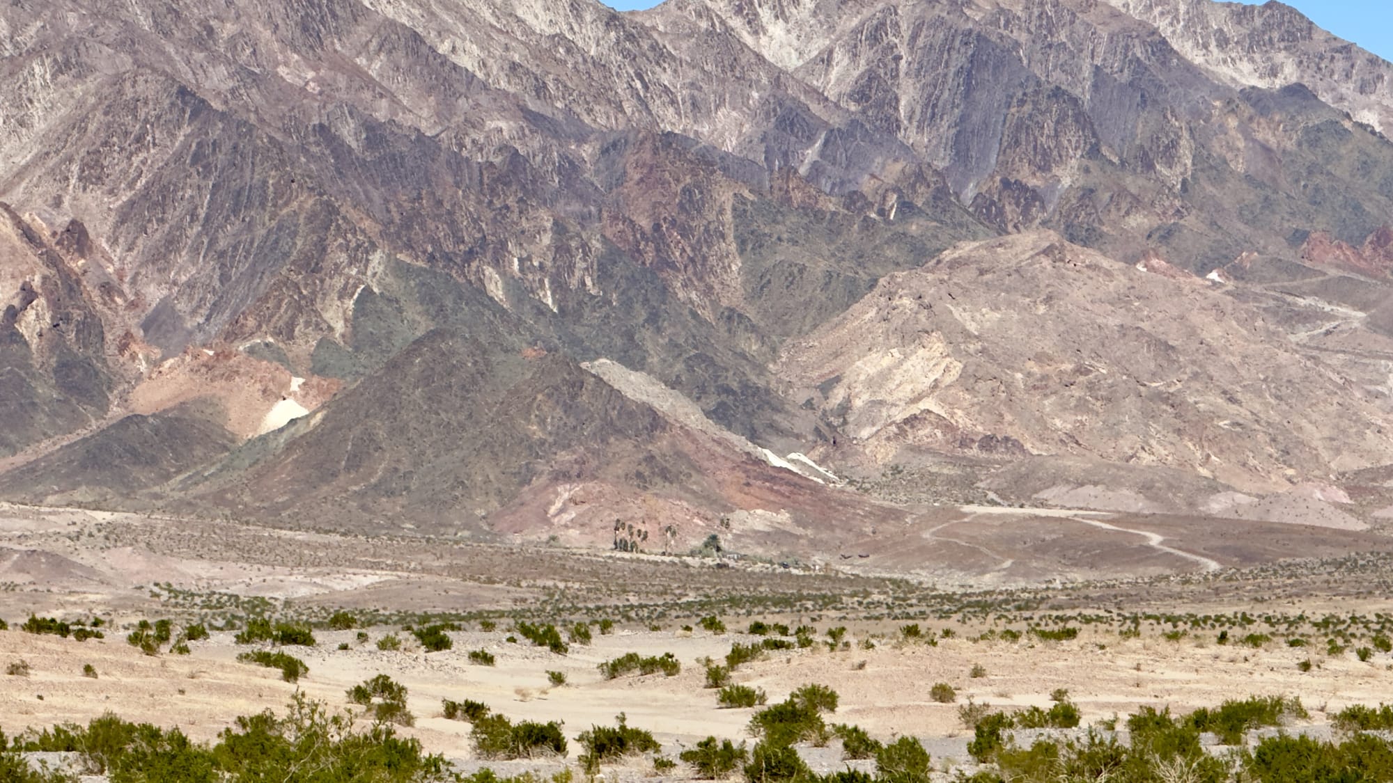
A little after BM165 which sits at the tip of a finger coming off the hills, you'll veer right up the western wash of Old Ibex Pass. The old ore bin of the Pongo Mine will come into view pretty fast. The Pongo Mine itself is nothing more than a collection of skeletal remains—wooden ore bins, a collapsed headframe, rusting machinery that once clawed talc from a single compartment incline shaft that is now sanded in (and has coyote tracks down it). This was Ernest Huhn’s dream in the 1930s before it fell to the Southern California Minerals Company and then, inevitably, silence. 12,500 tons of talc later, they packed up and left in 1955, leaving behind their junkyard for the desert to reclaim. Interestingly, these claims, along with several others in the Ibex Hills, were owned by Pfizer Inc. until finally being acquired into DVNP.
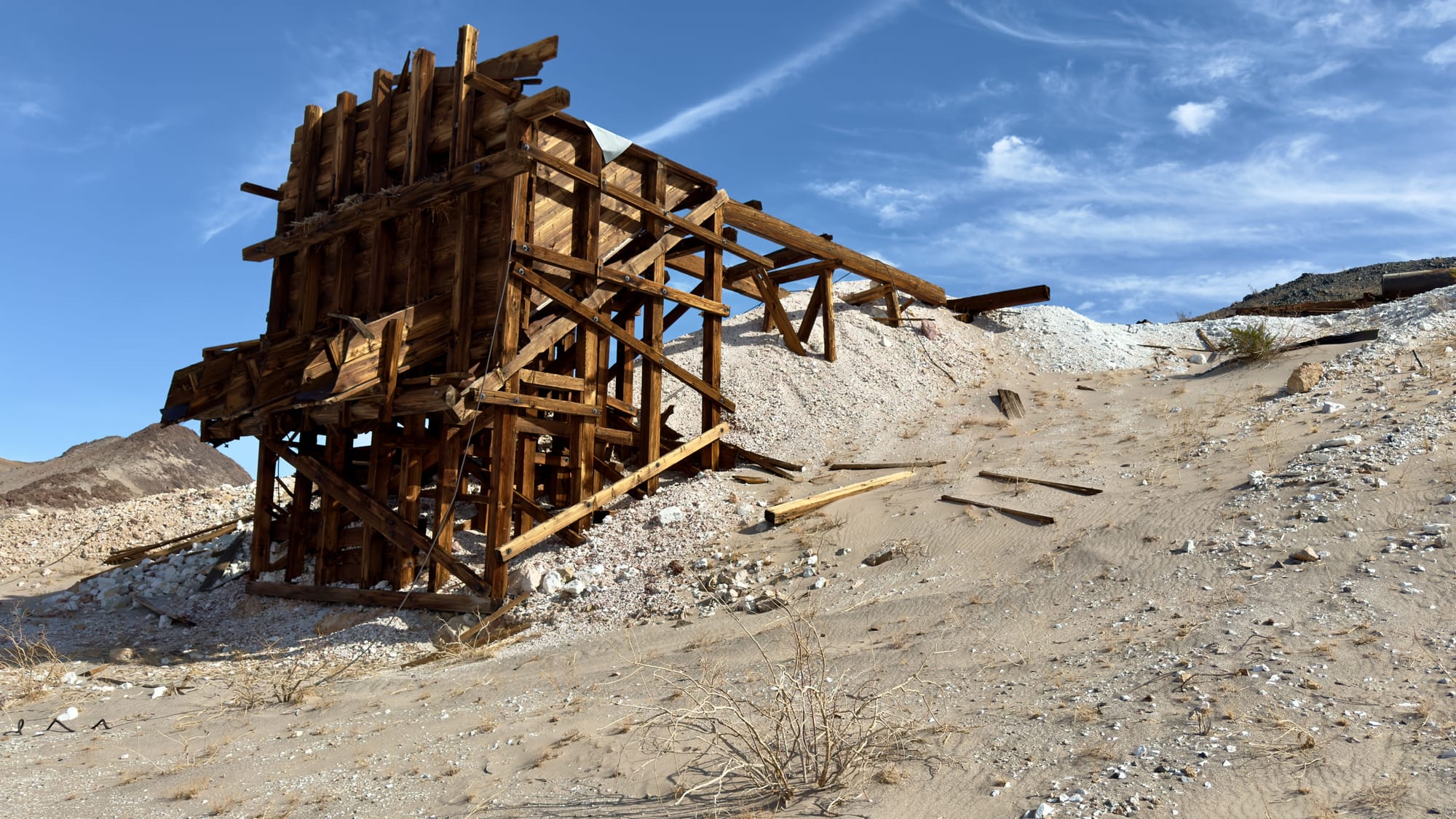
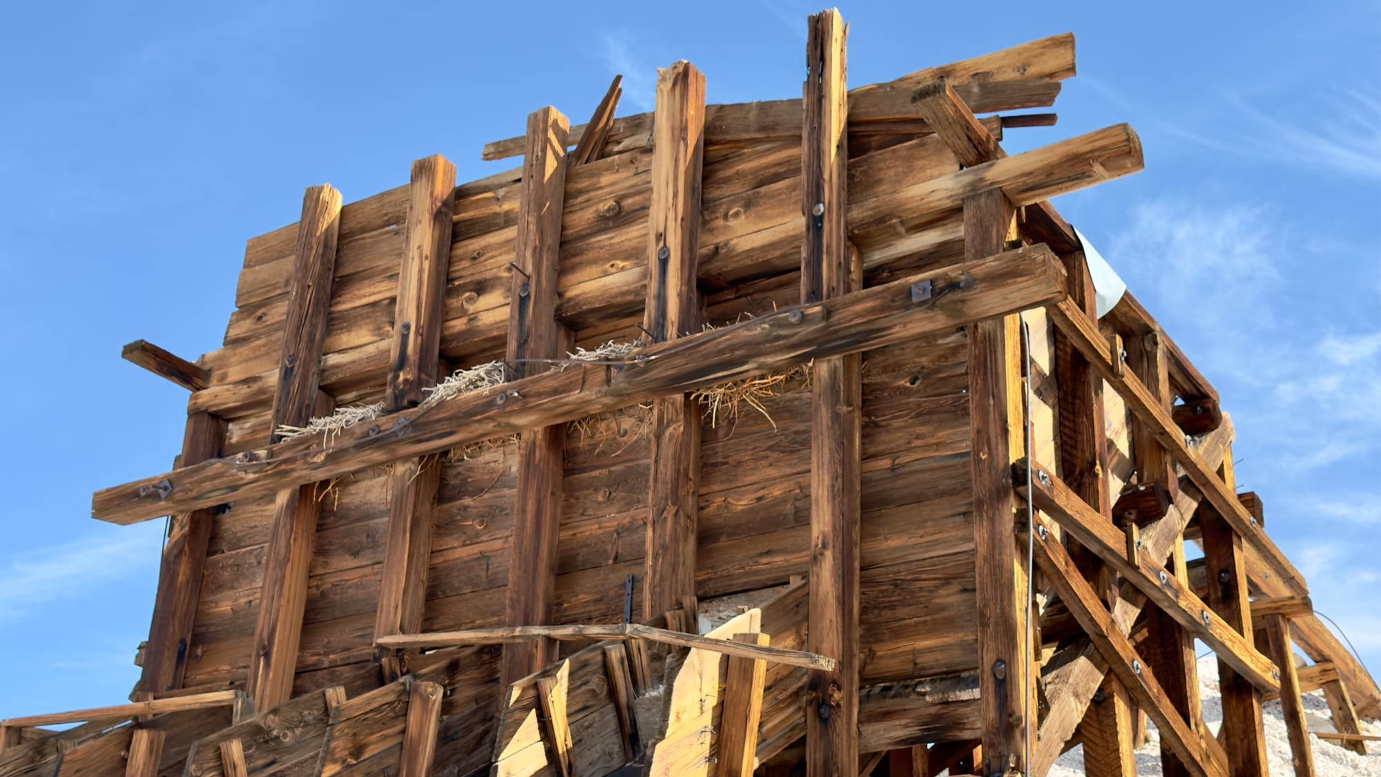
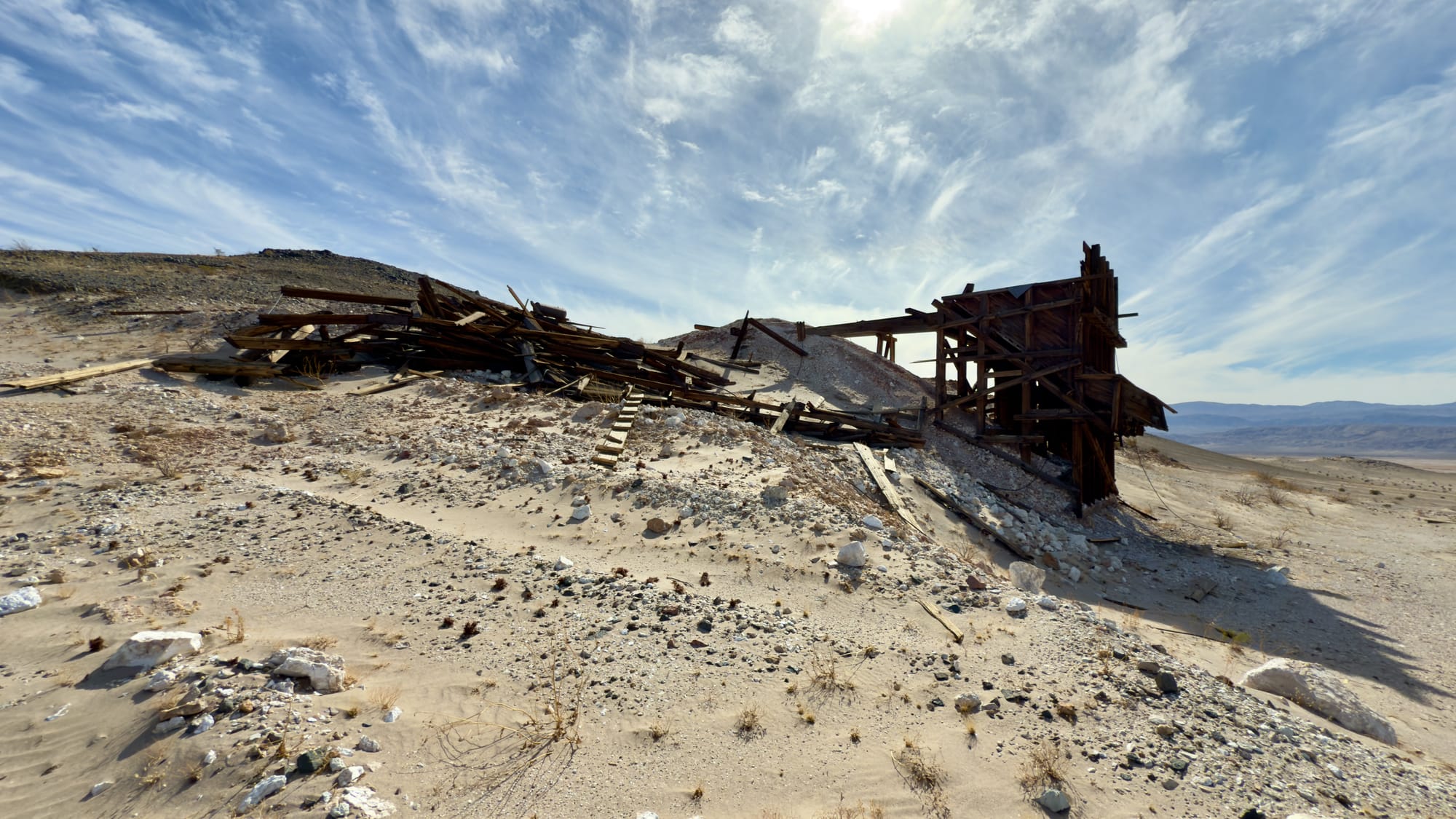
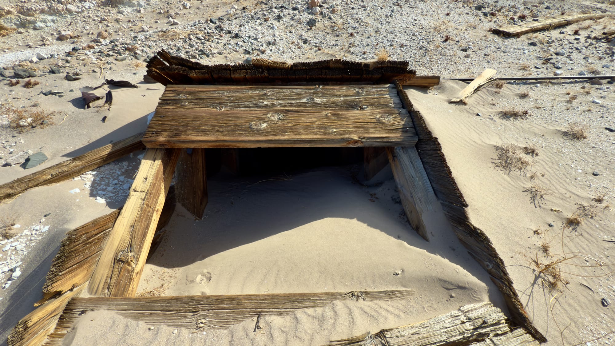
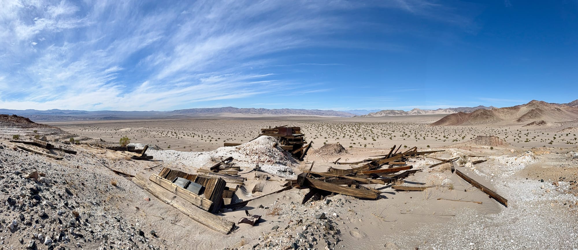
Top Left: As you turn northeast, the ore bin of the Pongo Mine and Old Ibex Pass come quickly into view. Top Center: Follow the clearly defined winding road up to the mine. Top Right, Middle Left: The ore bin is in pretty good shape and has quite a bit of bird nesting going on. Middle Center: The headframe is sadly completely collapsed and just a pile of timbers now. Middle Right: Be careful walking around, the single compartment incline shaft doesn't exactly jump out among all the debris. Bottom Left: Looking down the sanded up incline shaft. Notice the footprints? Someone lives down there. Bottom Right: Panoramic of the entire Pongo Mine, looking out to where Buckwheat Wash flows into the Amargosa River.
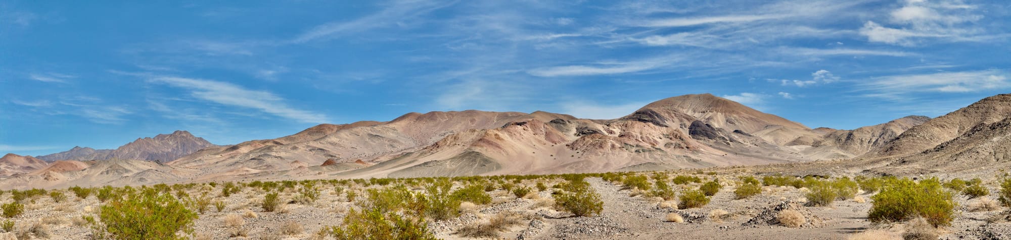
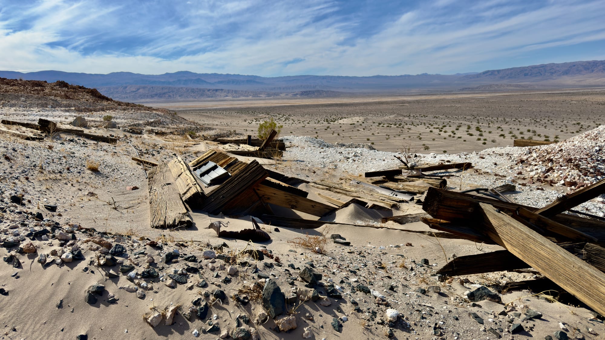
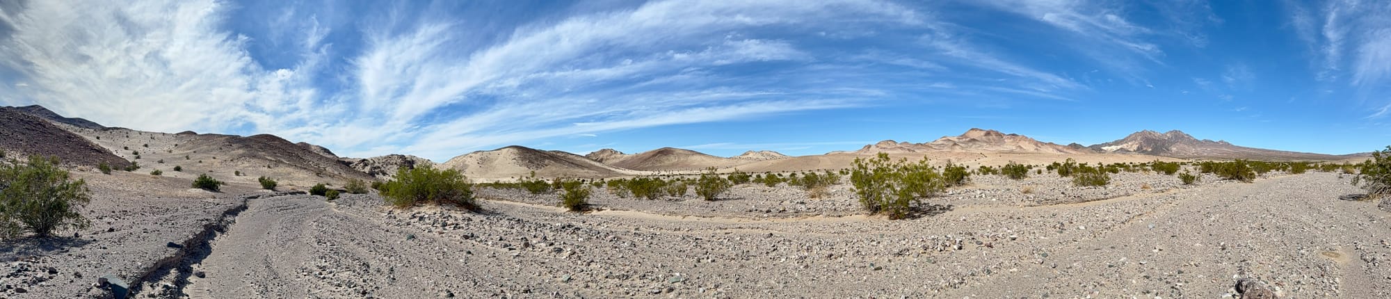
From here, descend from the Pongo Mine down across the old bulldozer cut prospects and rejoin the wash. The climb up to Old Ibex Pass is a slow, steady grind and we didn't see any traces of the road that once passed through here. The pass, once a crucial link for miners hauling their finds out of this unforgiving land, now offers something much better: a view. Stand at the top, let the wind slap your face, and take in Death Valley sprawling below and gaze upon the Ibex Hills running like some great spine in the landscape.
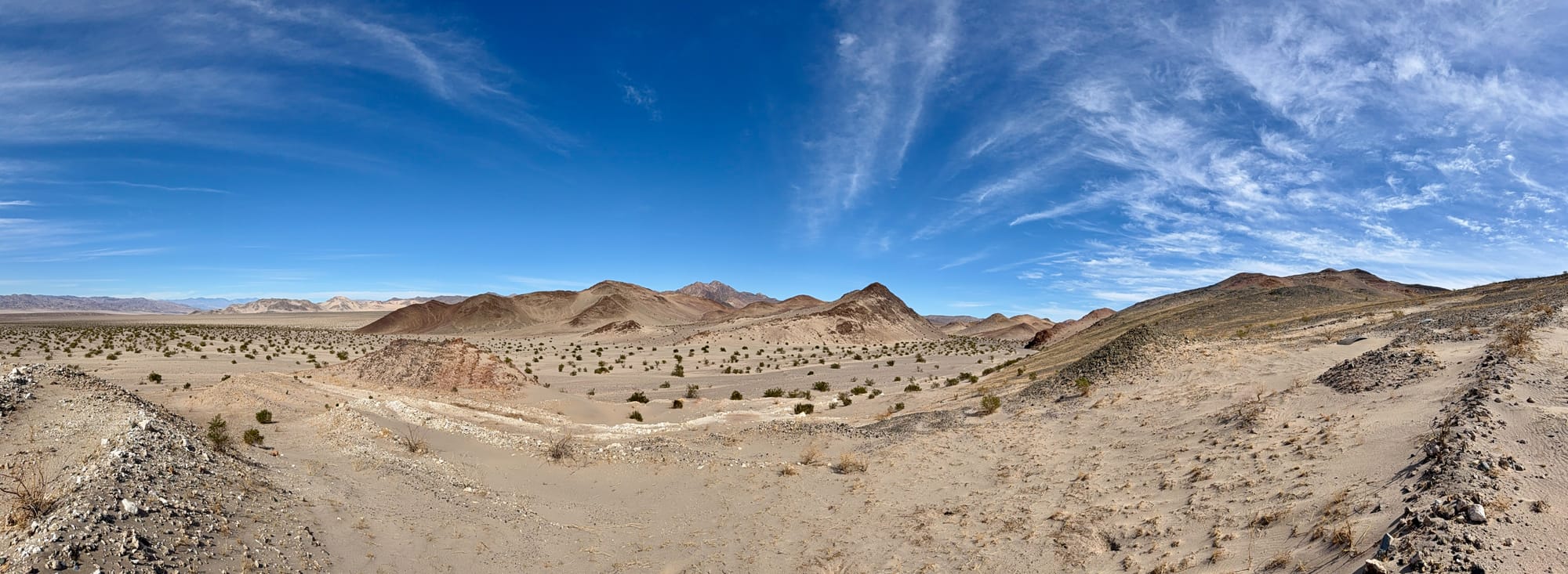
Top Left: Panoramic of Old Ibex Pass and the Ibex Hills north of it. Further back on the horizon you can see the Talc Hills and the small gap where they vanish into the desert on the left of the shot is the Amargosa River flowing further into Death Valley. Top Right, Bottom Left: From the Pongo Mine descend the bulldozer cut benches into the wash again and head up through Old Ibex Pass. The road is obliterated through here, so pick your poison. Bottom Right: Looking back west through the narrowest part of Old Ibex Pass.
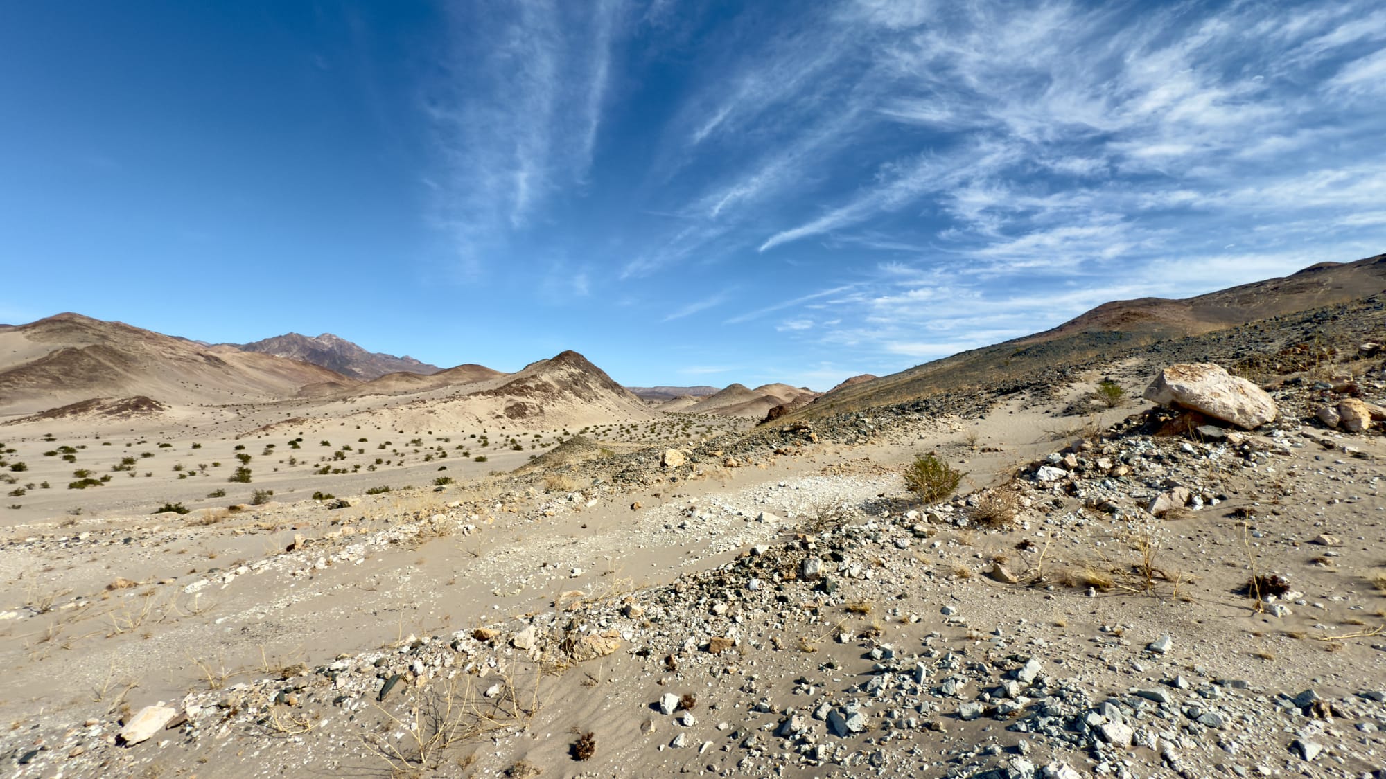
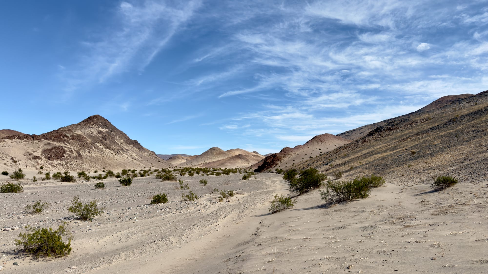
Old Ibex Pass isn't actually the divide pass and you'll continue climbing to the northeast for some time. The goal for this loop is to hug Ibex Hills, keeping them off to the right, without too much up and down. Eventually, this will result in a southeastward turn and passed the point labeled BM603 you may or may not find an old southeast leg of the road wye to follow. If you stay directly in the wash here, you'll add a little distance while hugging the other leg of the wye. In both case, you'll eventually hit a south flowing wash, drop in here and head south in the deep wash. The current Ibex Valley Road is actually a bit further east but on this hike we're following the historical one.
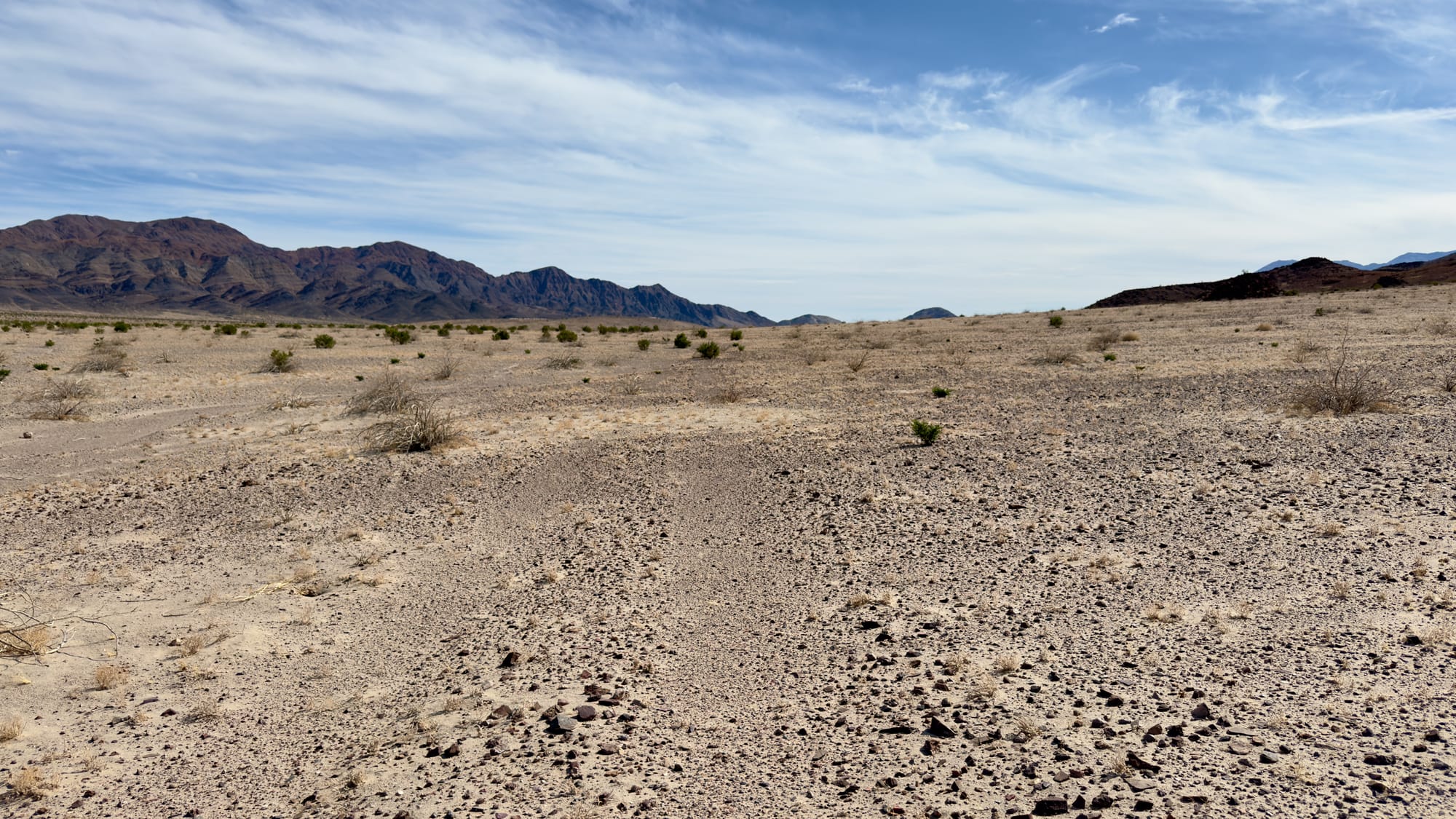
Top Left: As you climb up from Old Ibex Pass the northern Ibex Hills come into view. Look for the large white waste rock pile of the Moorehouse Mine. Top Right: Look really closely and you'll see the date palms at Ibex Springs. Bottom Left: Keep hugging the hills and you might find the southern wye of the old road. If not, you'll eventually hit the wash. Bottom Right: Drop into the wash and turn west-southwest.
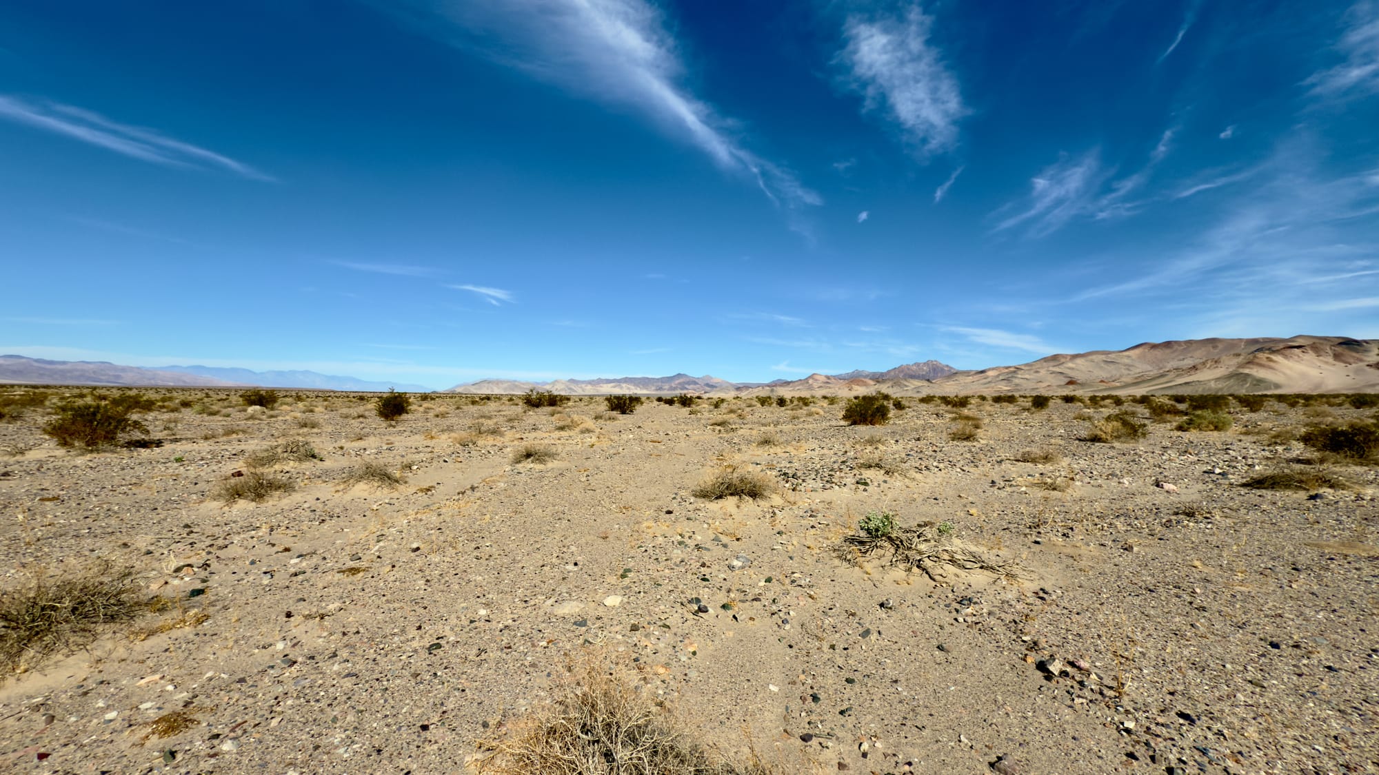
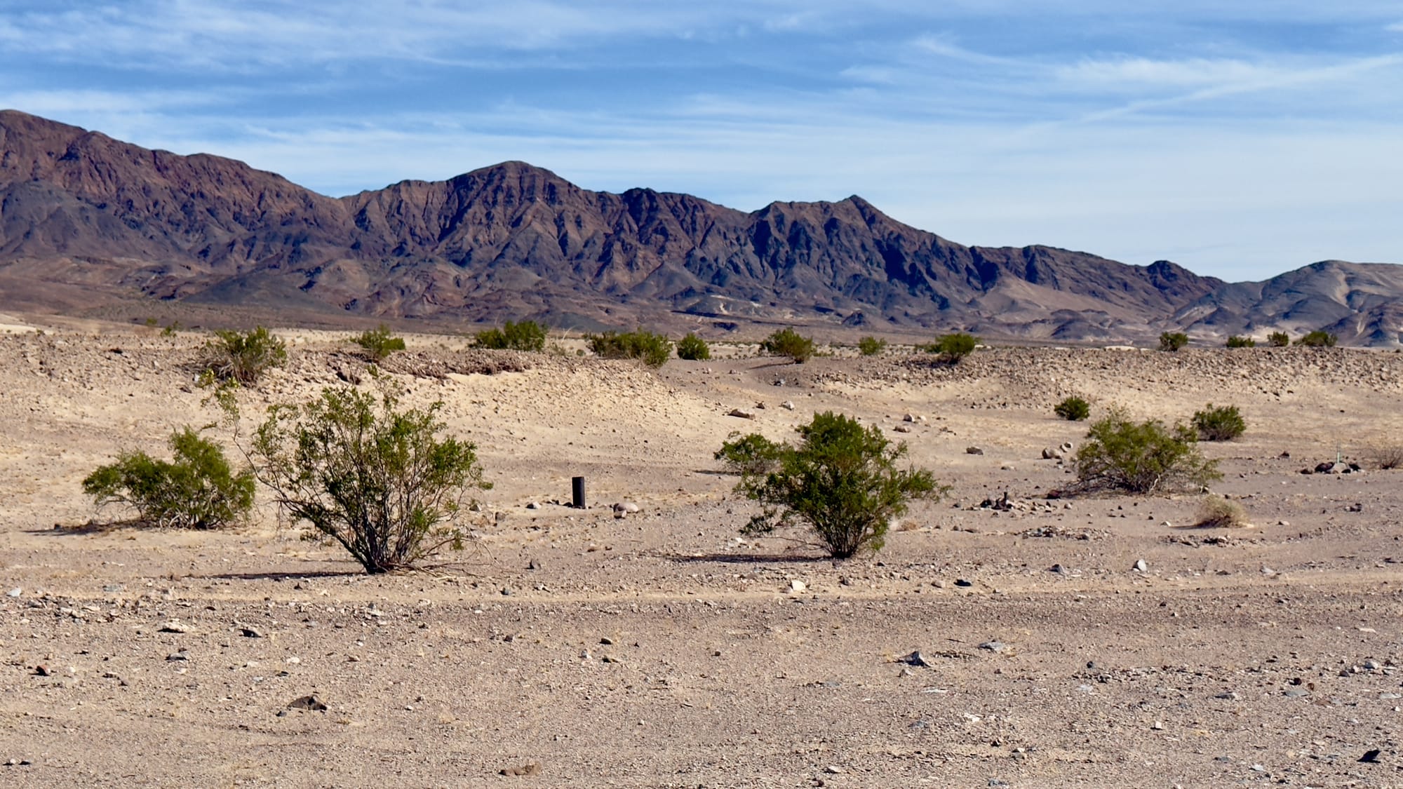
We're now descending down from the pass, following the original road down a deep wash until it eventually joins with the modern Ibex Valley Road near the abandoned well (labeled Water on the old topo). Today this well is just a sand filled steel casing poking out of the ground. Now just follow the modern road south then southwest, headed back toward Saratoga Spring, winding through forgotten claims and rust-streaked geology. You'll likely encounter a confused backcountry tourist or two along this section. To your east are the amazing Ibex Dunes and behind them the Saddle Peak Hills (both great trips for another day).
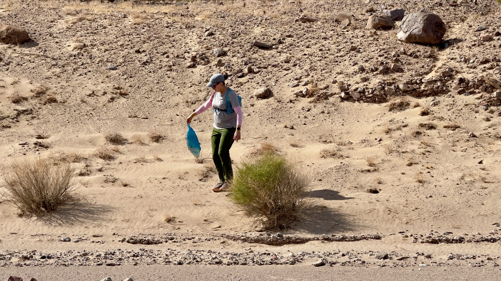
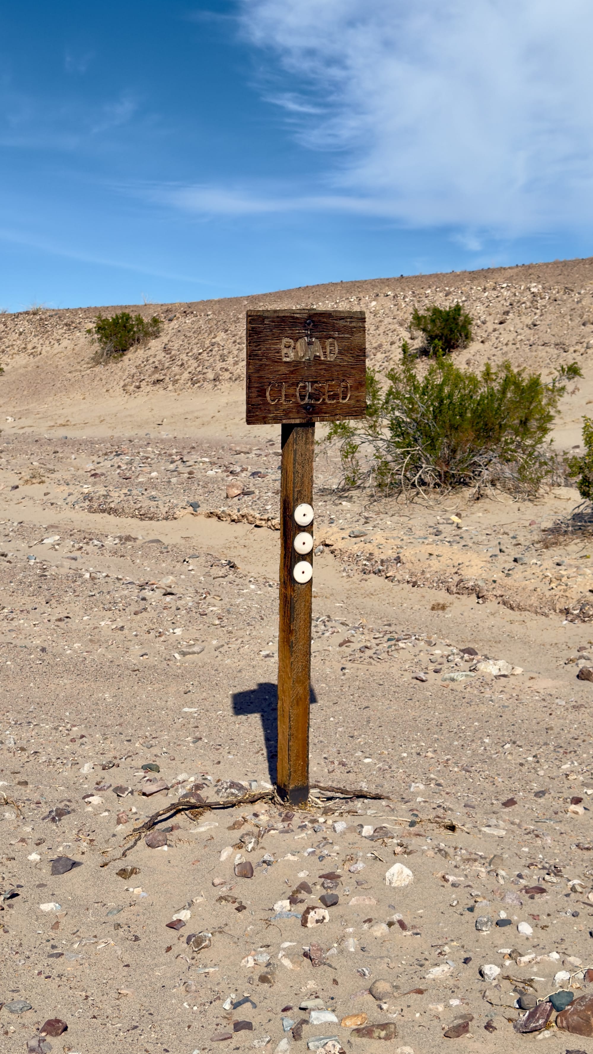
Top Left: The wife recovering yet another mylar balloon. We find one or more almost every trip! Top Center: The wash gets deeps at times. It makes sense that they relocated Ibex Valley Road since you would not want to be in here during a cloudburst. Top Right: When you find this old Road Closed sign you're almost where you rejoin the modern road. Bottom Left: The old well casing. From here, follow the modern Ibex Valley Road west. Bottom Right: Turn right at the sign and return to whence you came.
This hike isn’t for everyone. If you like your trails paved and your signs clear, stay home. But if you want to walk in the footprints of old prospectors, feel the desert’s indifference, and taste a little adventure, then lace up your boots. The pass is waiting. The rusting ghosts won’t mind the company.
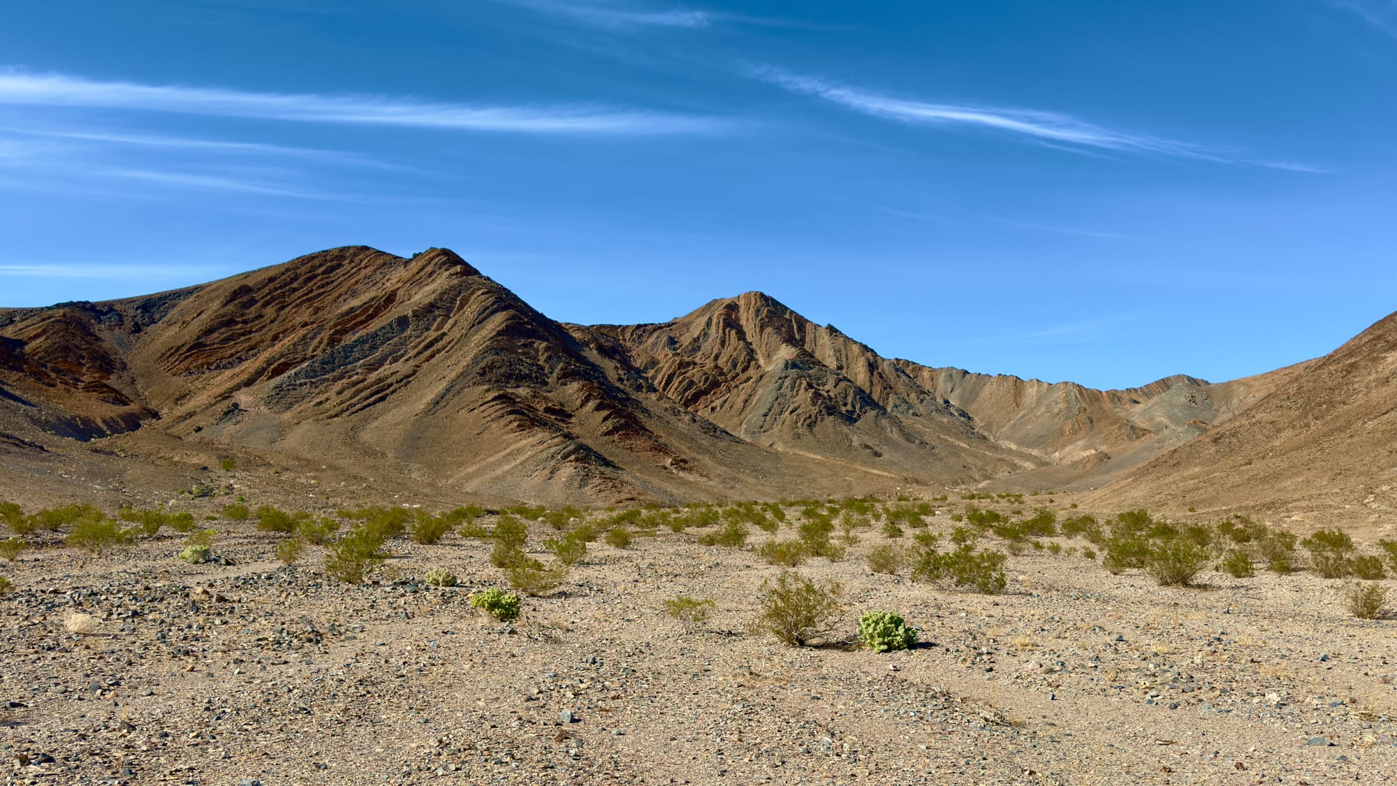
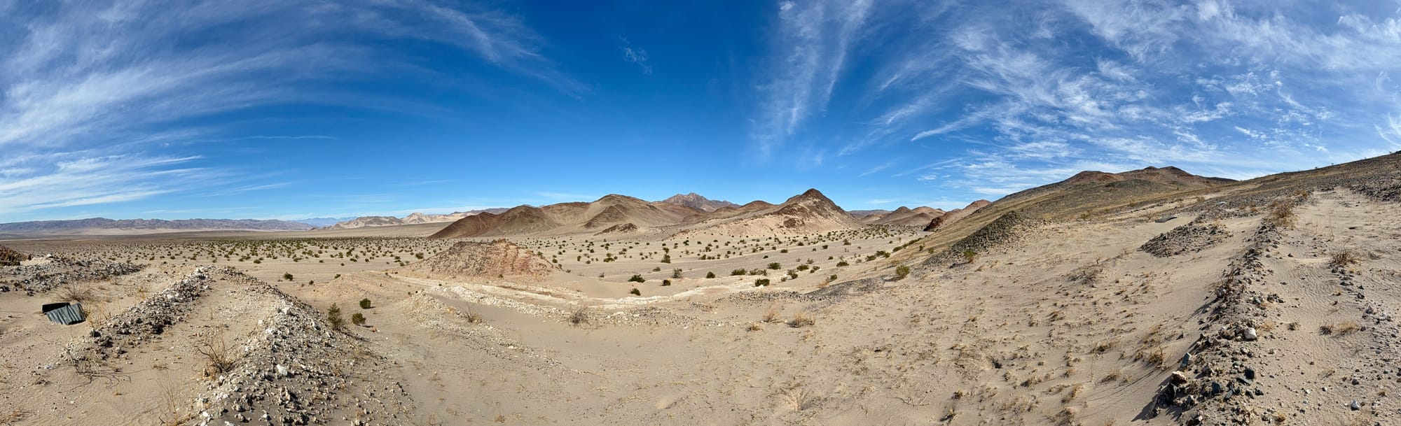
Left: One last look across Ibex Valley and the Amargosa River floodplain towards the Ibex Dunes and Saddle Peak Hills. One of my favorite views in the park. Right: There are so many beautiful hills and mountains in Death Valley, but on this trip, the shapes and texture of these two stuck out to me as especially wonderful. I can never have a favorite, so I try to find a favorite on each trip.