Carrara and Lee, Nevada

It was a cool day today, only 100F in the Amargosa, so decided to go out and visit a few spots south of Betty.
First Stop: Carrara, Nevada
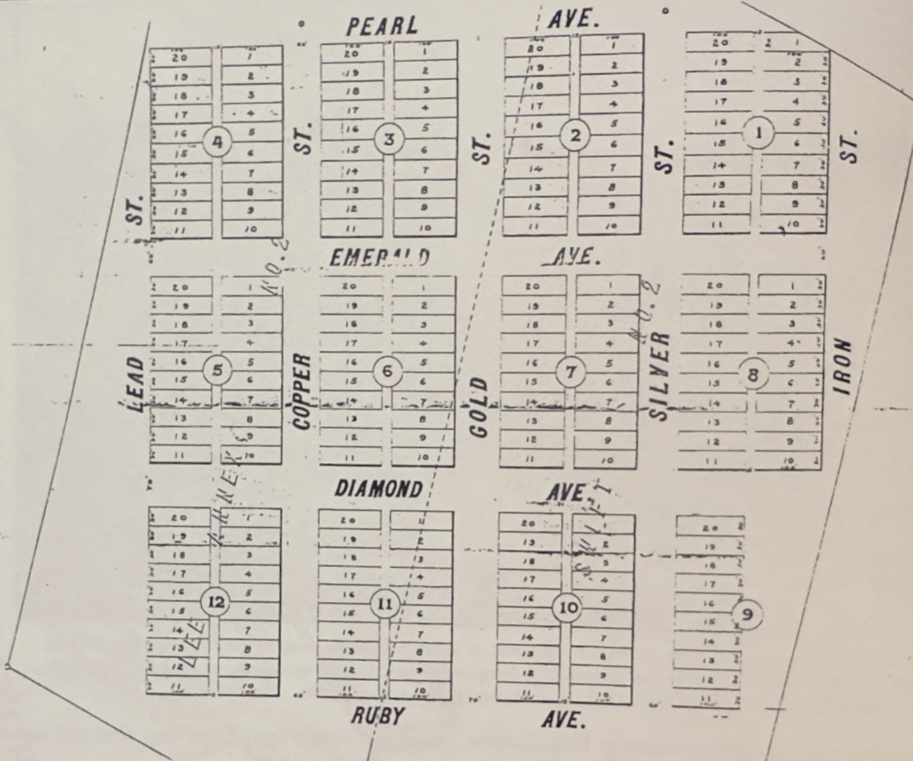
The discovery of a fine white marble outcropping in the mountains southeast of the gold town of Rhyolite, Nevada, near Death Valley, in early 1904, led to the founding of the small community of Carrara. Named after the famous marble-producing region of Carrara, Italy, this Nevada town had high hopes of mirroring its namesake's success. The American Carrara Marble Company was formed in June 1912, and between 1911 and 1913, the townsite was laid out, featuring a fountain, a hotel, and a store. Water was piped in from nearby Gold Center, and "The Carrara Pacific," a three-mile Lidger cable tram system, was built to connect with the Las Vegas & Tonopah Railroad. The tram operated like a pendulum on a cuckoo clock, using the weight of full cars descending the hill to pull empty ones up.
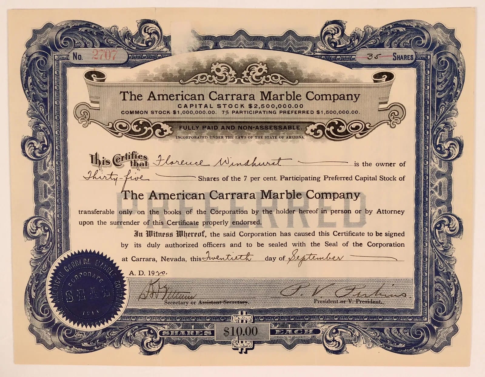
On April 7, 1914, the first slabs of marble were shipped from the quarry. Unfortunately for investors, much of the marble proved too fractured to be profitable. Despite Carrara's initial promise, with nearly 100 residents, its own newspaper, and a post office, the town’s decline was swift. By 1919, the quarry was closed, and most of the population had left by 1924.
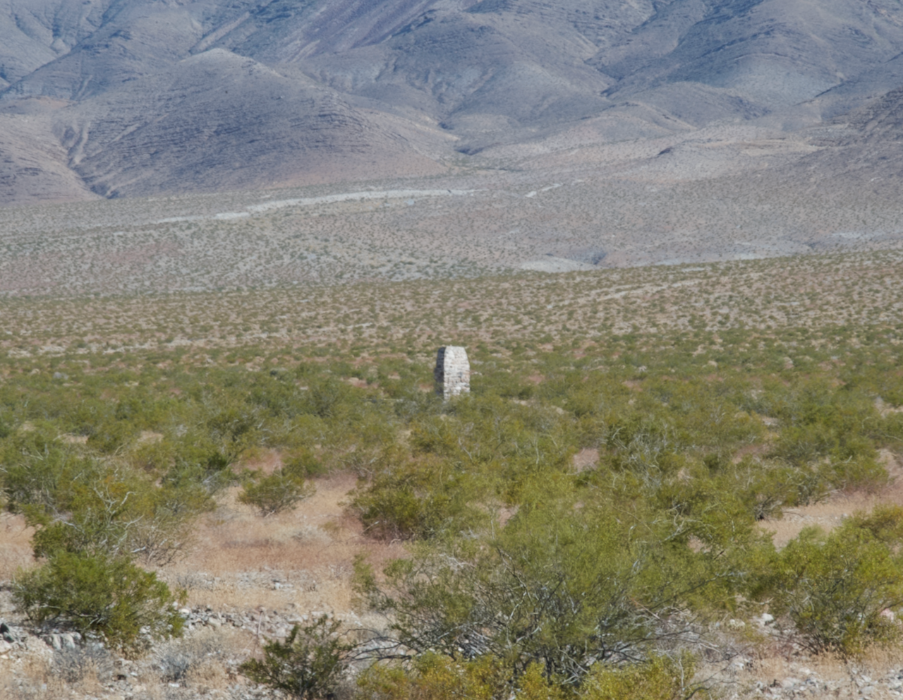
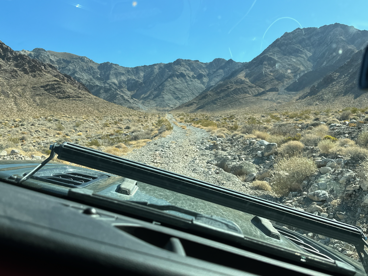
Today, Carrara is a ghost town, slowly reclaimed by the desert. However, remnants of its past remain. Visitors can still find the empty town fountain, septic seepage pits, a community stone fireplace, and rock wall foundations of the old hotel and outbuildings. The road to the quarry, following the path of the old Carrara Pacific tram, is steep, but the journey offers a glimpse into a bygone era. Peering into the gaping maw of the long-abandoned quarry, one can still see small veins of marble, reminiscent of that used by Michelangelo and quarried from the northern Apennines in Italy.
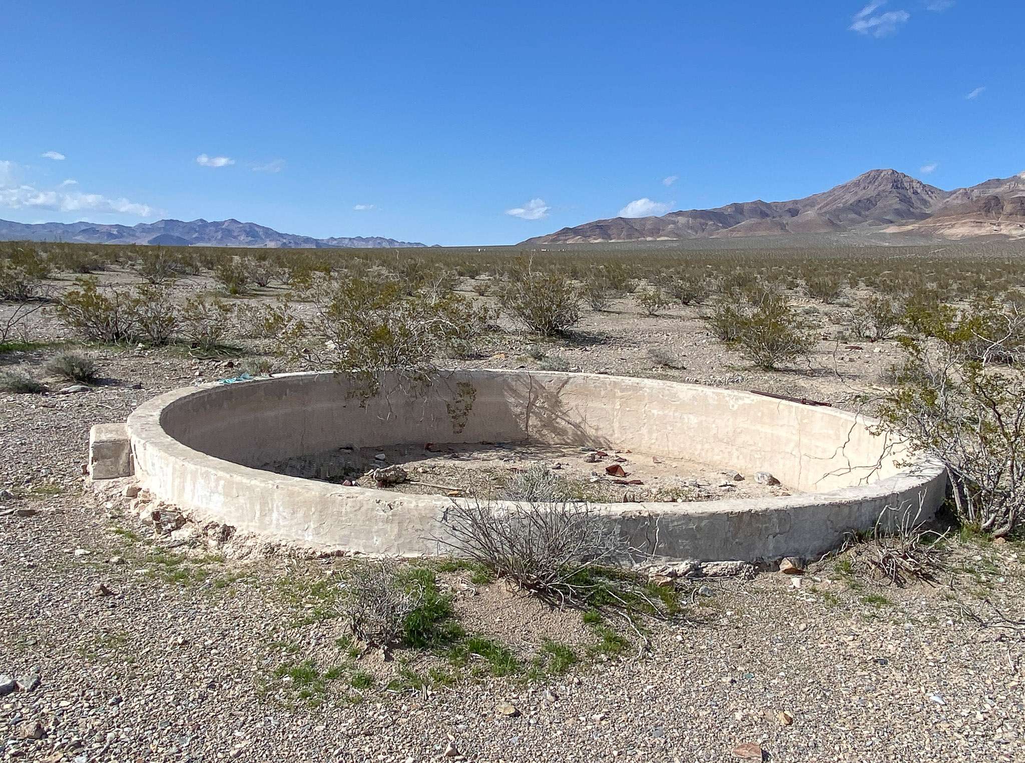
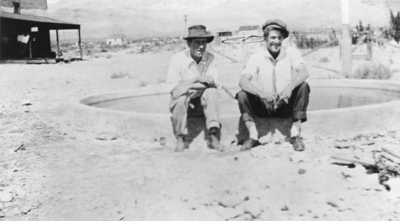
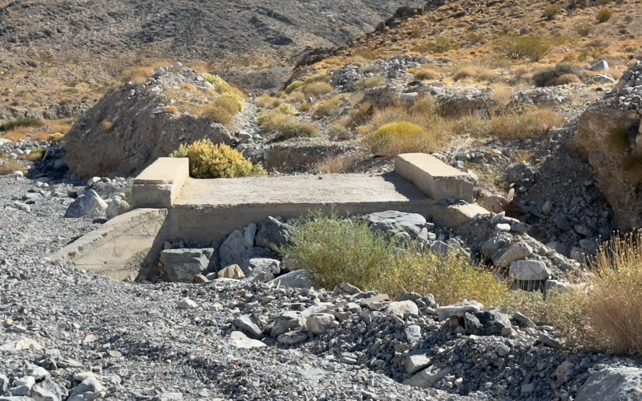
The Carrara fountain today and back in the day. Historical photo courtesy of the UNLV archives
The actual marble quarry was a great example of block quarrying and there was a lot of good marble pieces around.
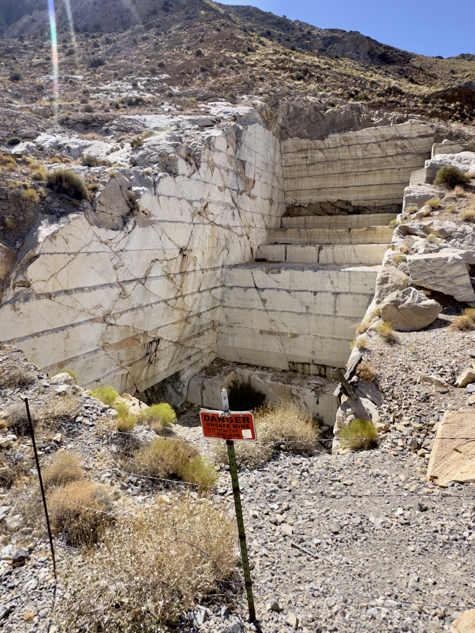
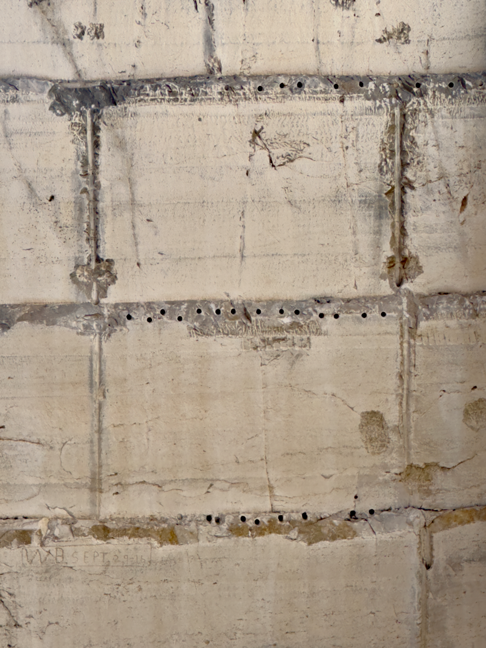
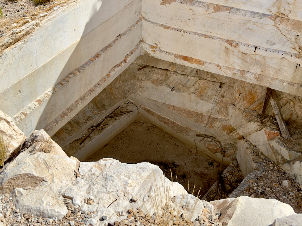
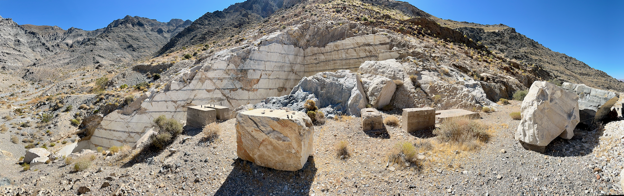
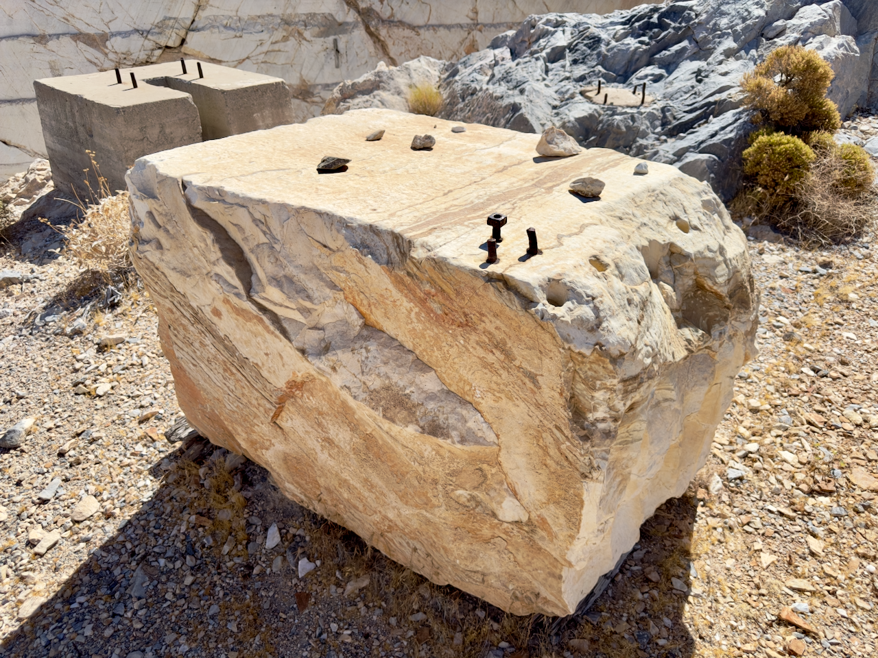
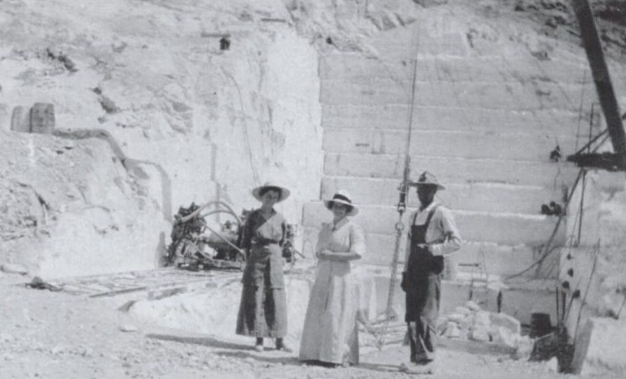
Top Left: The quarry, the fractures in the walls show what ultimately made this operation uneconomical. Top Middle: Close up on a drill pattern showing how they broke out the marble blocks. Top Right: Looking into the deepest part of the quarry, there are still numerous split sets in place, wiring, and timbering. Bottom Left: Wide shot of the quarry showing the footings for the crane (see bottom left for the crane in operation). Bottom Middle: A large block of marble. Bottom Right (courtesy of Nevada Historical Society): Residents touring the quarry site.

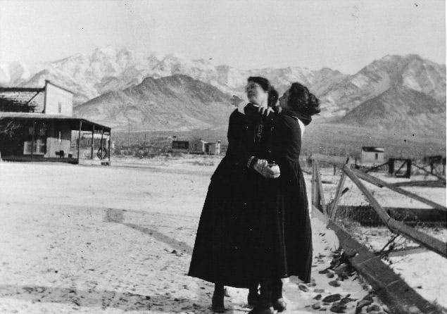

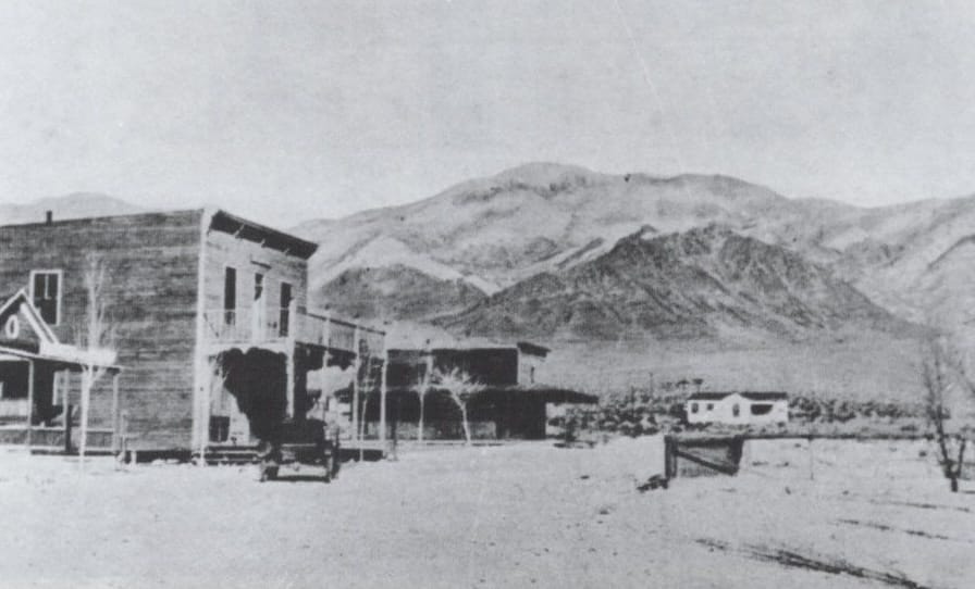
Carrara today and in its heyday.
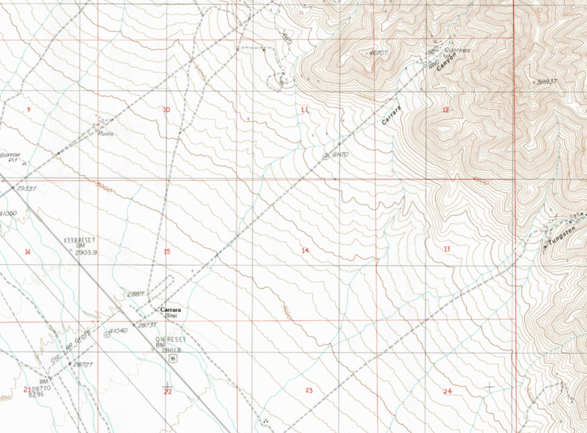
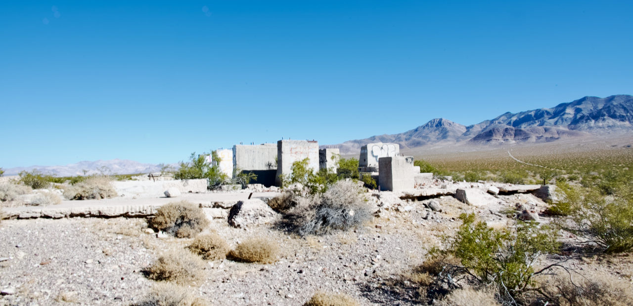
The turnoff for Carrara is located at Nye County mile marker 51 on US 95. The foundations of the mill are near the turnoff, and the townsite is about three hundred yards to the northeast. Nearby, the cement structures of the abandoned Elizalde Cement Company plant, built in the early 1930s, serve as another reminder of the transient nature of these desert towns.
Second Stop: T&T Carrara
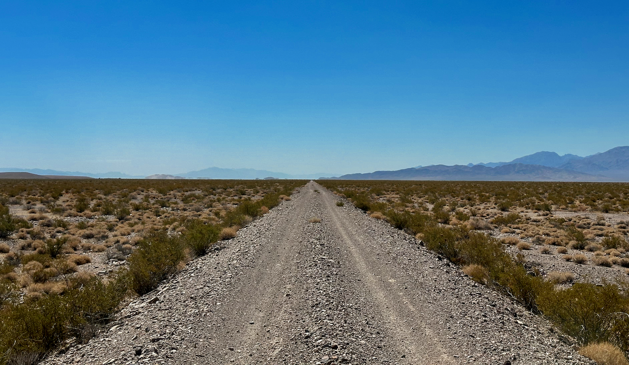
The Tonopah and Tidewater Railroad (T&T) had a siding that serviced the Carrara marble quarries and allowed transfer from the incline railroad to the T&T. Since I was already aired down from the climb to Carrara, I decided to take the T&T over to Lees Camp and Sand Hill.
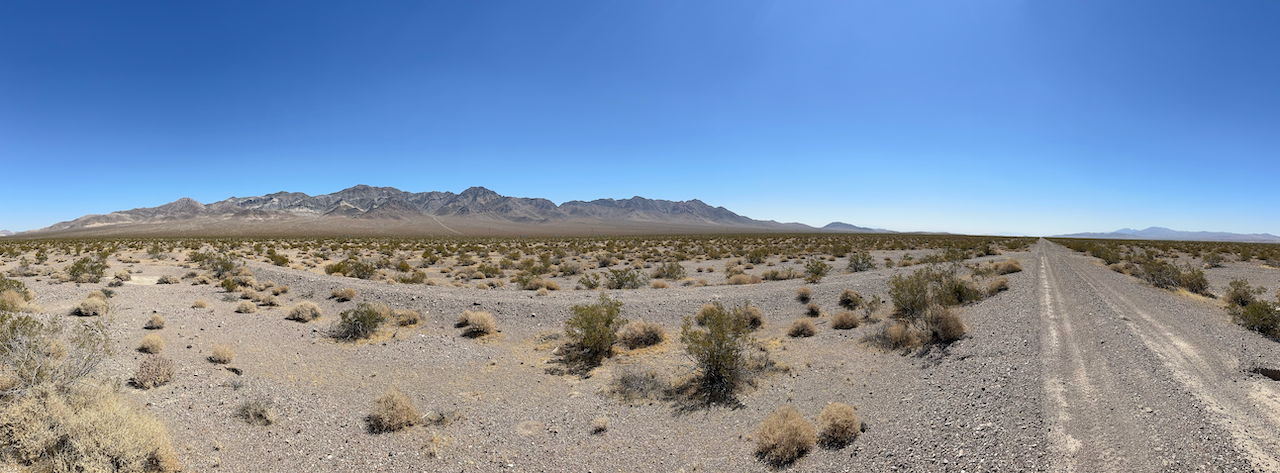

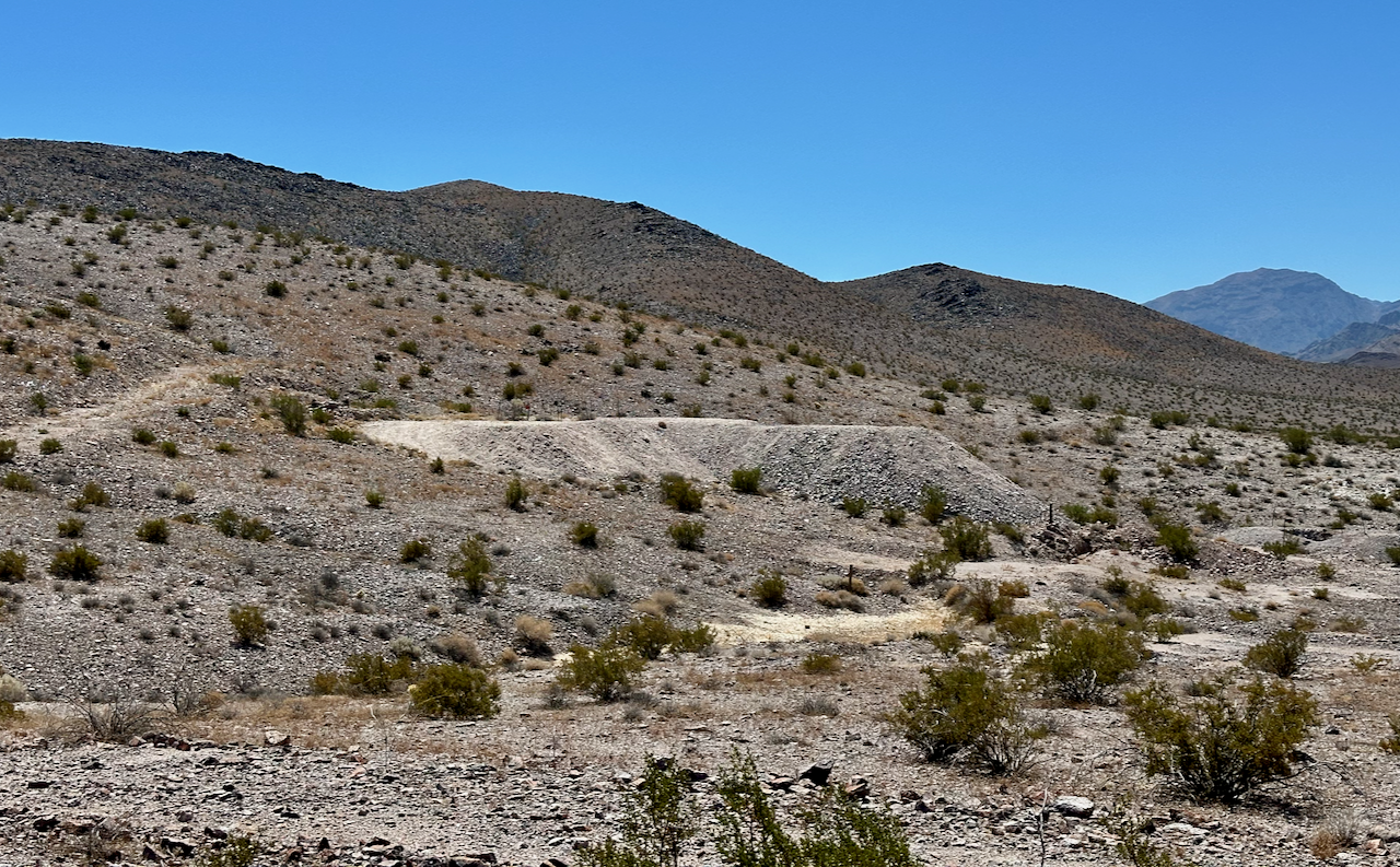
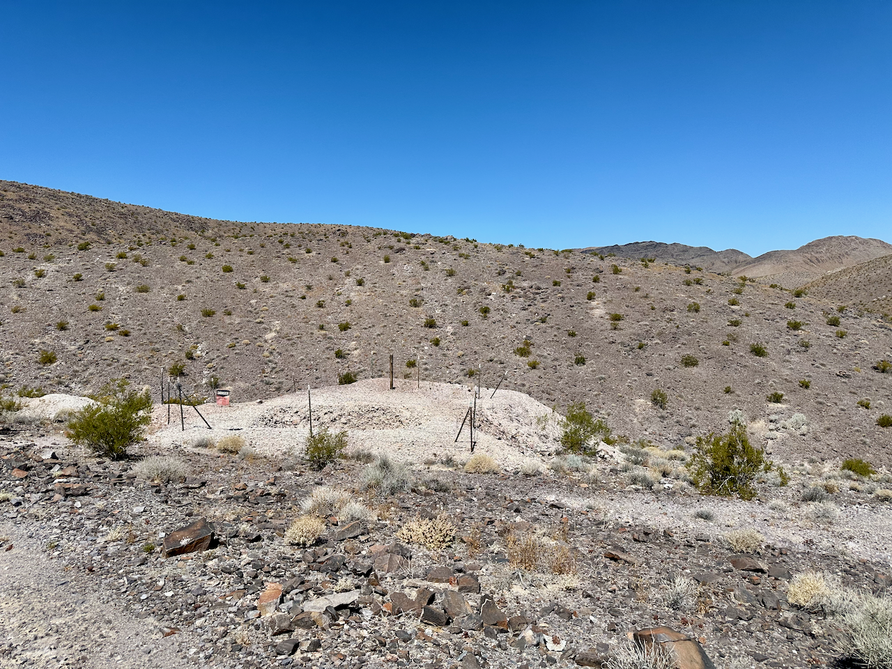
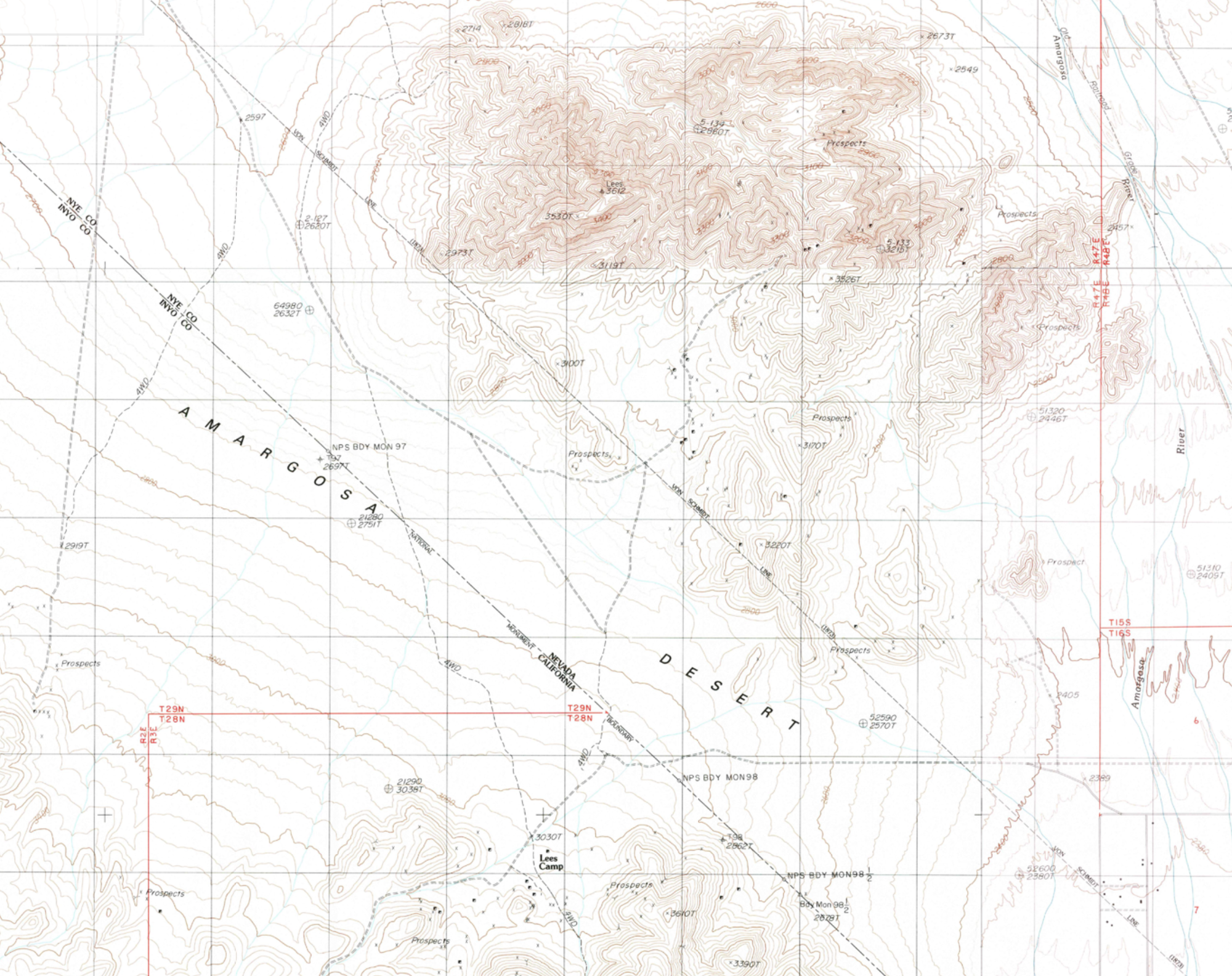
Third Stop: Lee Nevada and Sand Hill
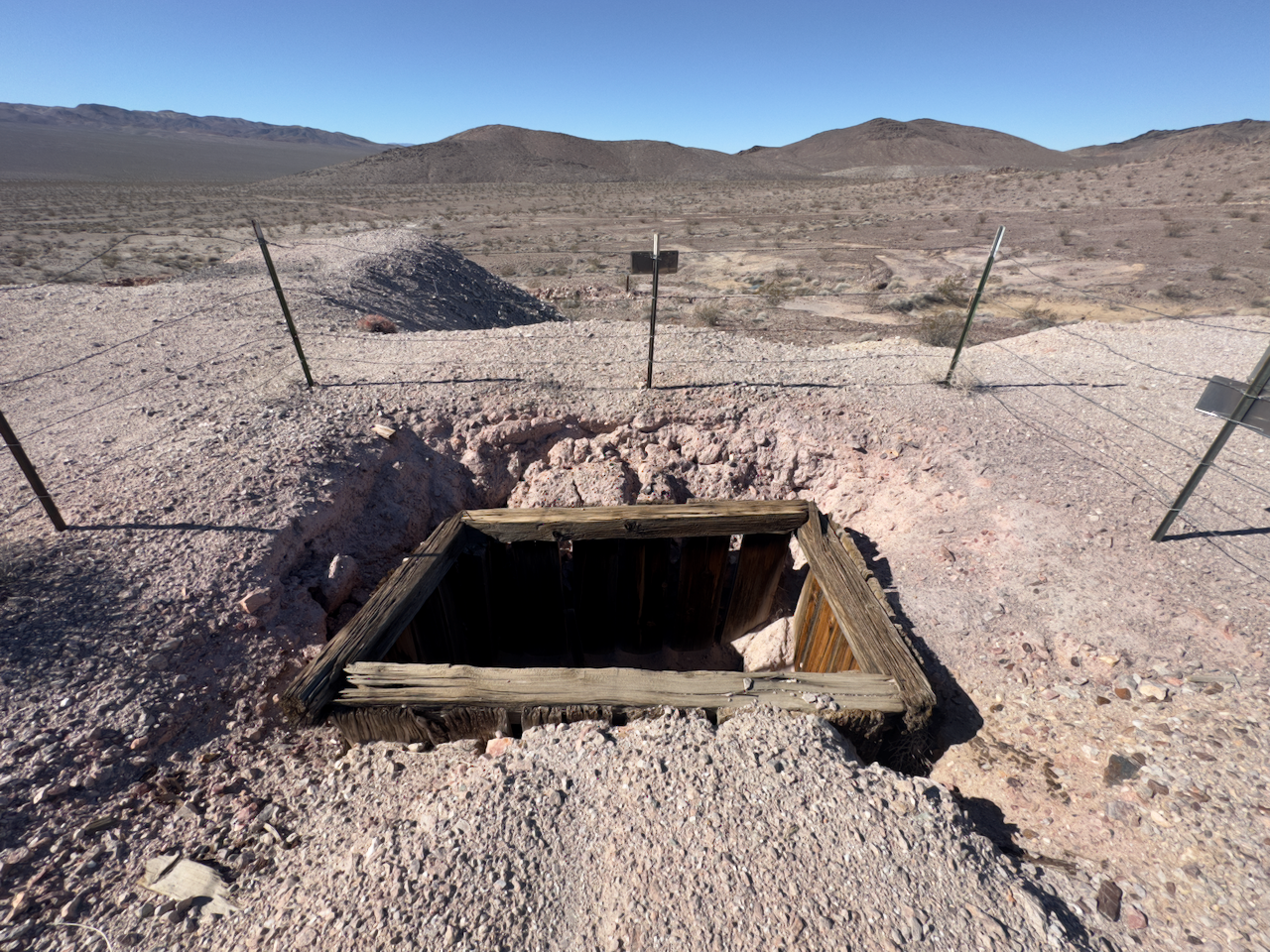
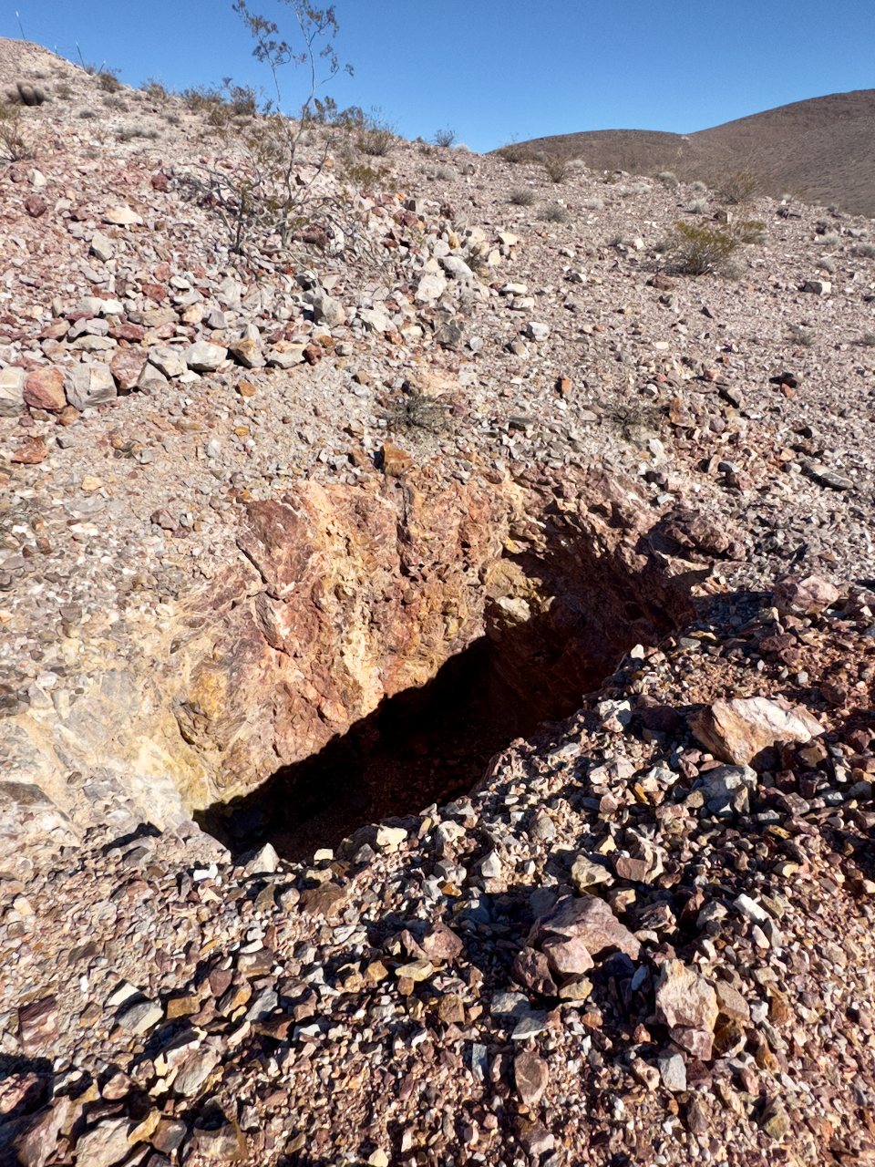
The Lee-Echo District, located in the Funeral Mountains near the California-Nevada border, is a historically significant mining area that played an important role in the early 20th century mining boom in the region. This district encompasses both Lees Camp (California), Lee (Nevada), Lee Addition, and Echo Canyon, two areas that saw extensive mining activity during the late 19th and early 20th centuries. On this trip I explored Sand Hill where Lee, Nevada was located.
The largest mine on the Nevada side of the Lee-Echo District was the Combination Mine. The Combination struck high grade ore at a mere 20 feet and in the course of its operation, extracted $900K (period prices).