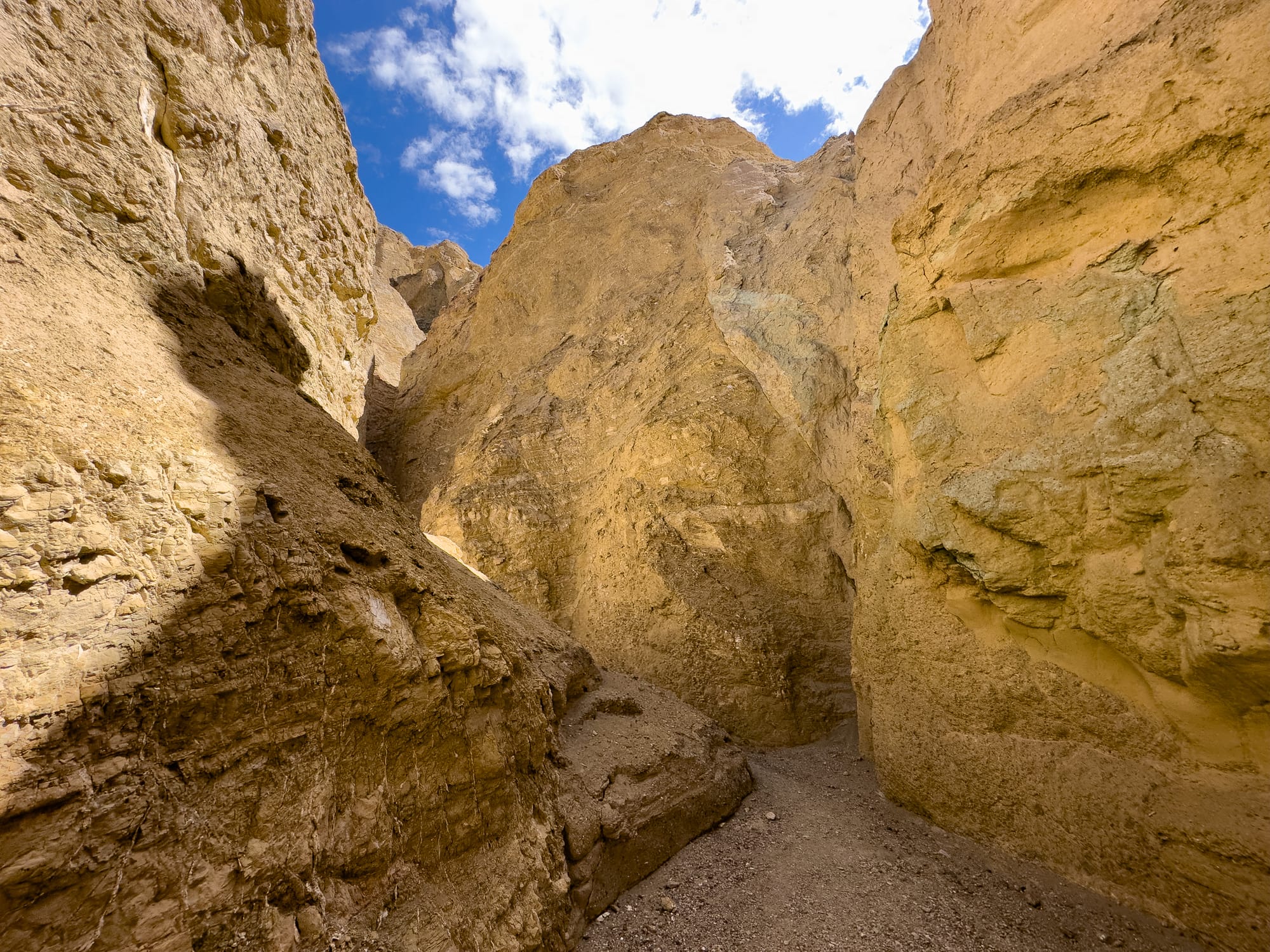
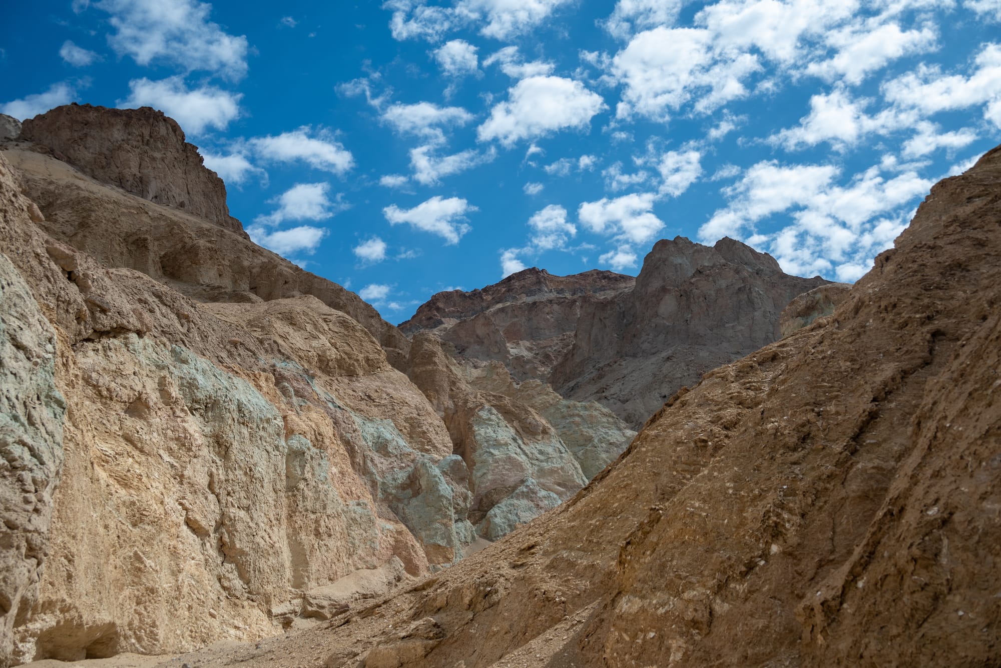
Desolation Canyon, Death Valley

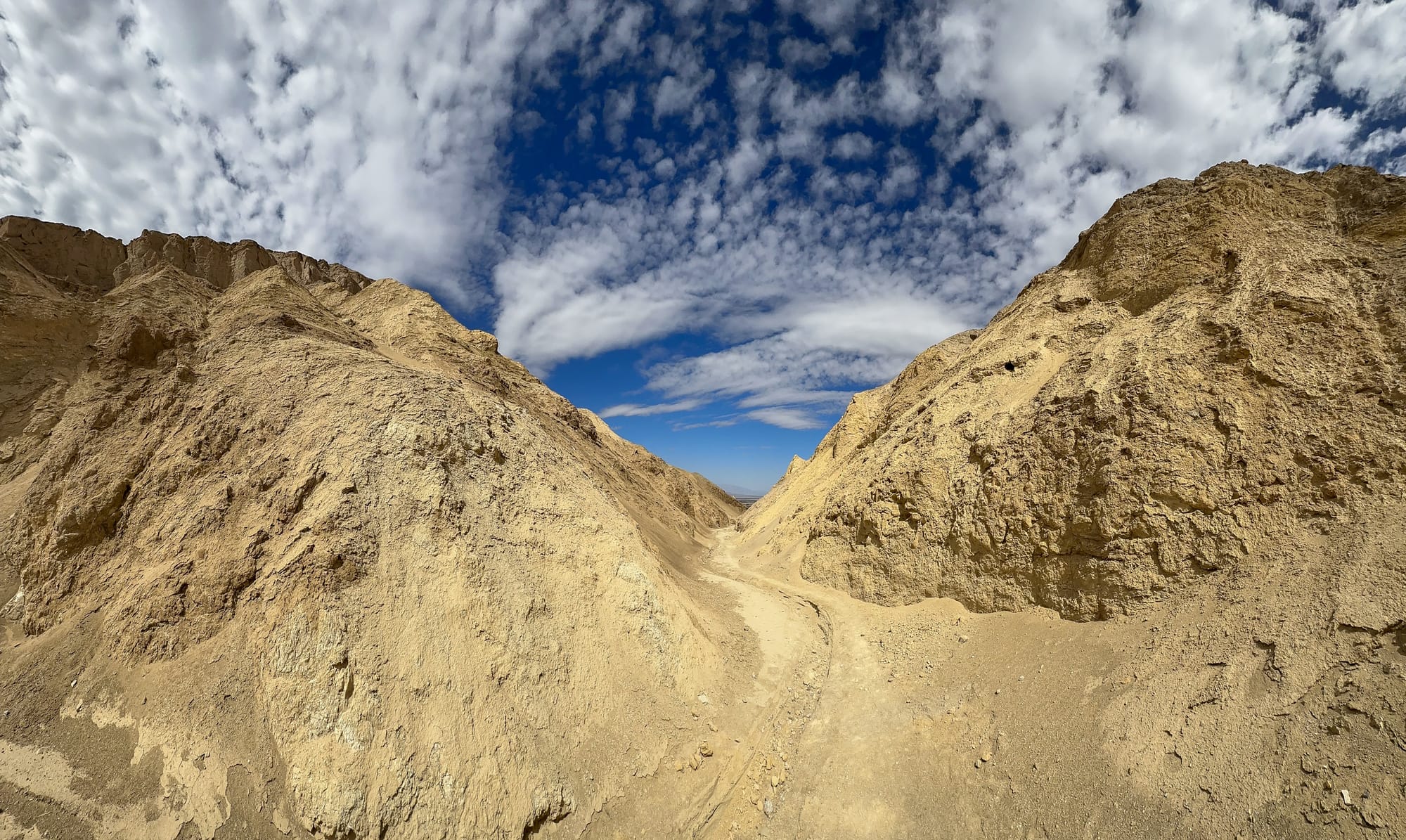
Desolation Canyon in Death Valley National Park offers a unique and relatively less-traveled hiking experience, showcasing the park's dramatic desert landscapes. This canyon is named for its remote, rugged beauty, providing a sense of solitude and desolation that can be profoundly moving. Here are more details about the hike and what you can expect:
Location and Access
- Starting Point: The trailhead is located off Badwater Road, approximately 3.7 miles south of Furnace Creek. Look for a small parking area on the east side of the road.
- Access: The hike begins across the road from the parking area, where you'll find the mouth of the wash that leads into Desolation Canyon.
The Hike
- Distance: The round-trip distance of the hike is about 5 miles, with an elevation gain of over 1,000 feet as you head into the canyon.
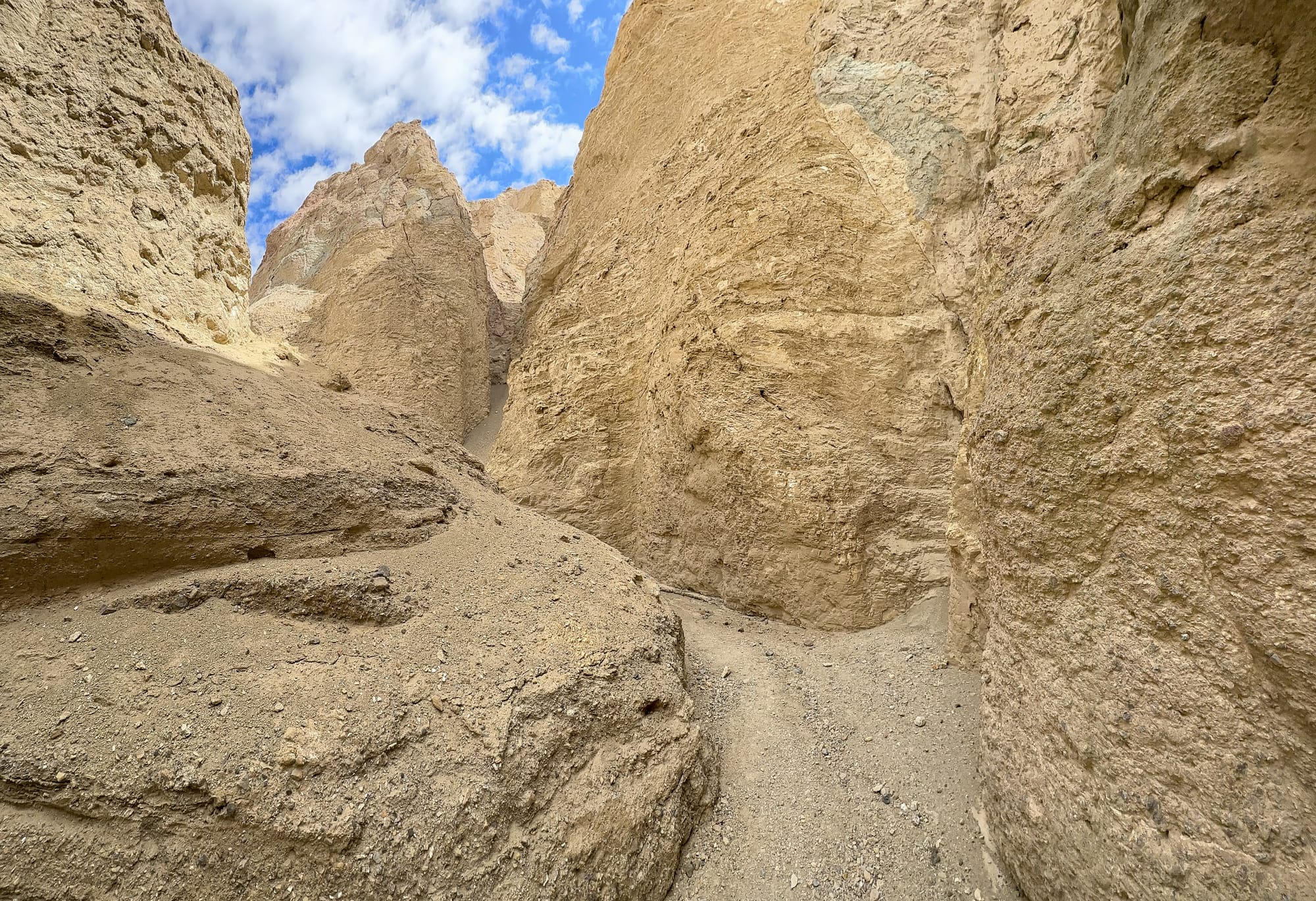
- Difficulty: Moderate. The hike involves walking through gravelly washes and navigating through narrow canyon walls. Some minor scrambling may be required.
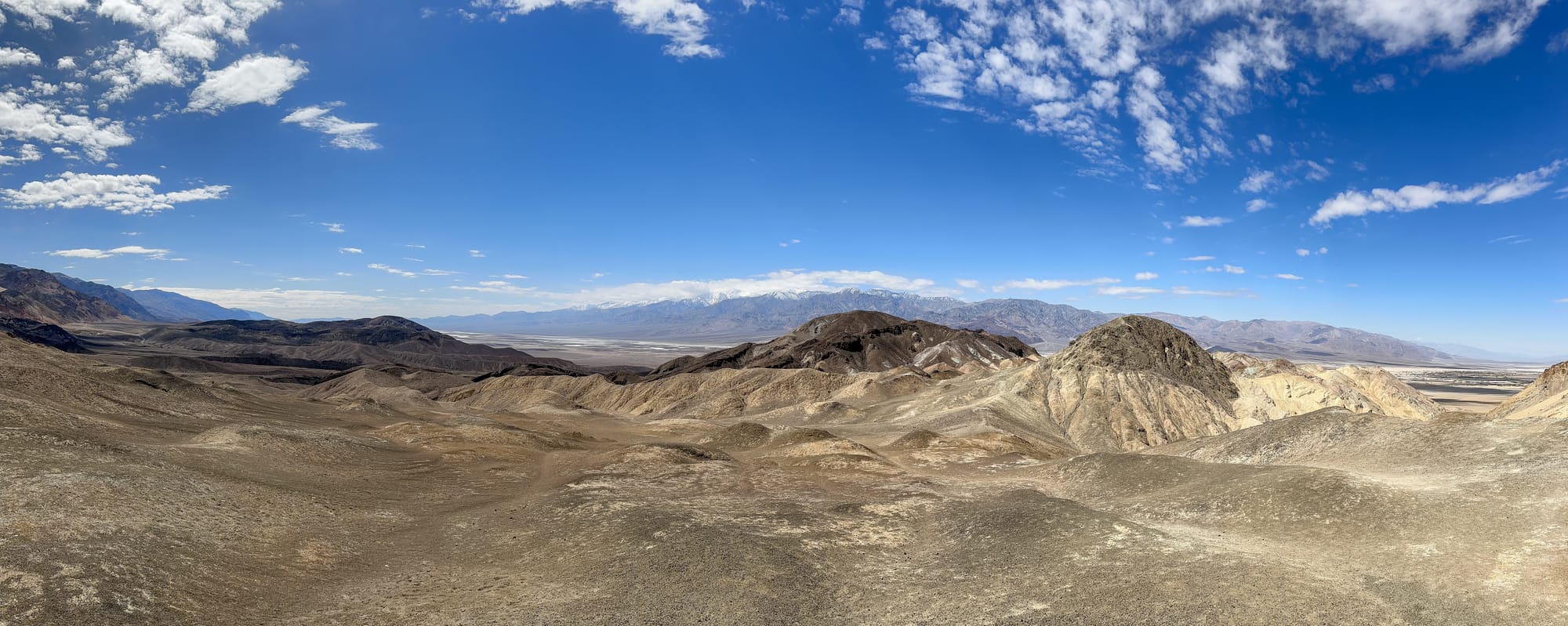
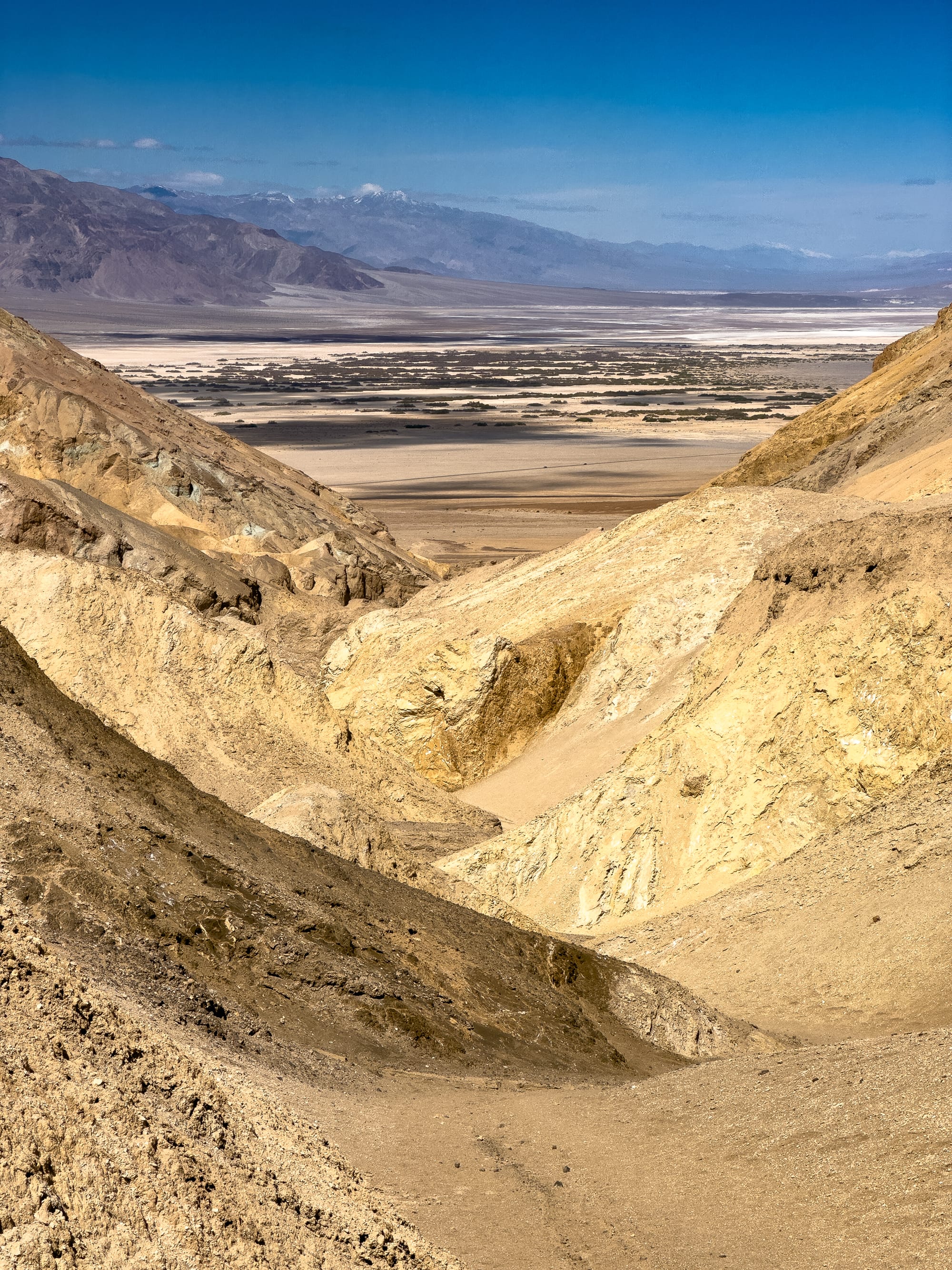
- Features: As you progress into the canyon, the walls narrow and reveal layers of colorful rock, including yellows, reds, and greens, created by various mineral deposits. The hike offers stunning views of the Black Mountains and the valley below, particularly from the higher points along the route.
- Best Time to Visit: The cooler months from November to March are the best time to hike Desolation Canyon due to the extreme temperatures in Death Valley during the summer.
Safety and Preparation
- Water: Carry plenty of water—at least one gallon per person per day—as there is no water available along the trail.
- Sun Protection: Wear sun protection, including a hat, sunglasses, and sunscreen.
- Navigation: While the canyon is relatively straightforward to navigate, it's always a good idea to carry a map or GPS device since there are several side canyons (note: GPS can be unreliable as the high walls of canyons can block the signal and lower accuracy - know how to navigate.)
- Check Conditions: Always check the current weather and trail conditions before heading out, as flash flooding can occur during rainstorms, and summer temperatures can be dangerously high.
Environmental Impact
Desolation Canyon, like much of Death Valley National Park, is a fragile environment. Visitors are encouraged to practice Leave No Trace principles, including packing out all trash, staying on designated trails to minimize erosion and impact on plant life, and not disturbing wildlife.
This hike is a rewarding way to experience the solitude and stark beauty of one of the hottest, driest, and lowest places on Earth. The contrast between the rugged canyon walls and the expansive desert landscapes offers a unique adventure for those willing to explore.
