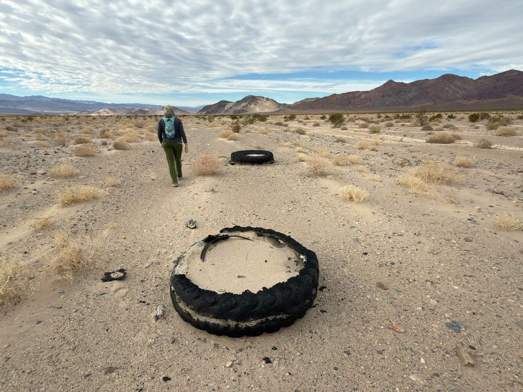
Grimshaw Mine, Ibex Dunes, Death Valley

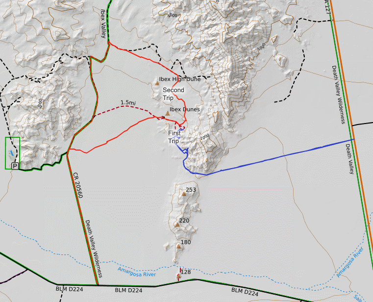
This write up is comprised of images of two trips to the Ibex Dunes which is why the weather looks so starkly different between them. The target was an ore bin I'd seen in the distance from Saratoga Springs Road on several occasions.
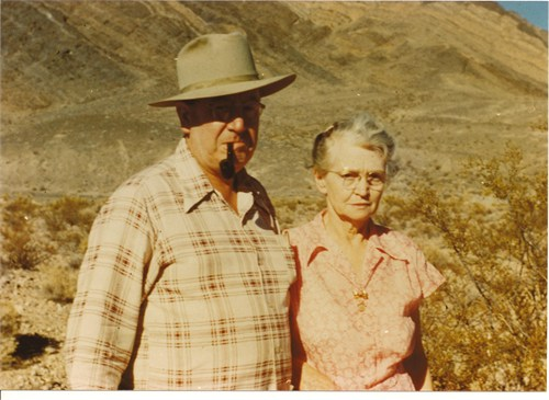
The Grimshaw mine was likely named after an early prospect by local Edwin "Ed" Lewis Grimshaw. He is best known for creating Grimshaw Lake by constructing a dam on a hot-spring-fed stream flowing out of the Tecopa Mountains. [1] Here's a photo of Ed and his wife Minnie.
Whether he was the original prospector of the Grimshaw Mine or even involved in the mine itself, is unclear from the historical record though is stands to reason there was some connection between the Grimshaw's and the mine based on the name.
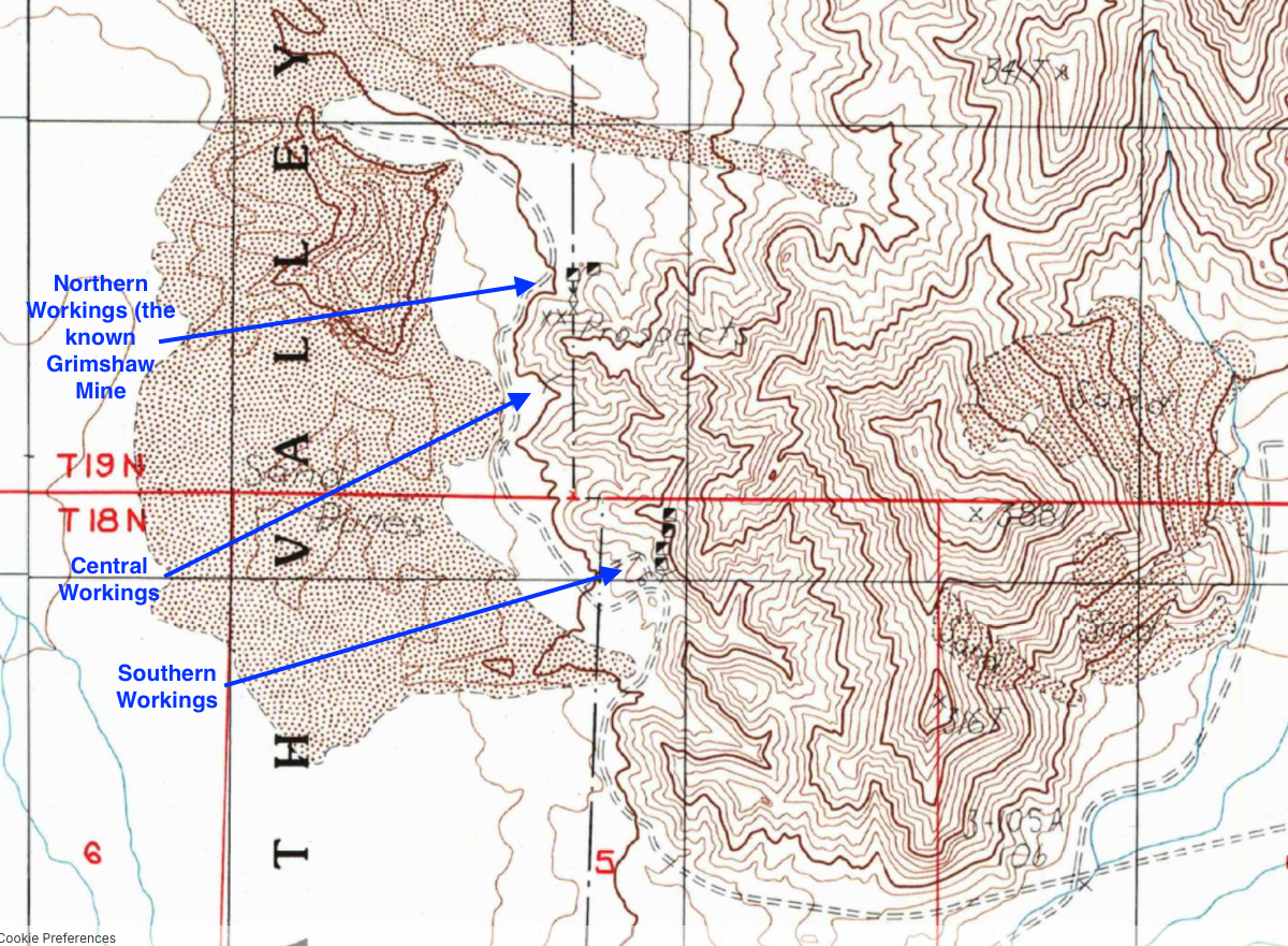
The mine itself worked a talc occurrence located in Sec. 32, T19N, R6E, SBM, 2.2 miles SSW of the Saddle Peak Hills high point and 3.8 miles ENE of Saratoga Spring, along the western margin of the southern portion of the hills. The local rocks include quaternary alluvium and marine deposits (Precambrian undivided unit 1, Death Valley). The workings include adits, shafts, small open pits, and numerous prospects (bulldozer cuts, coyote holes, etc).
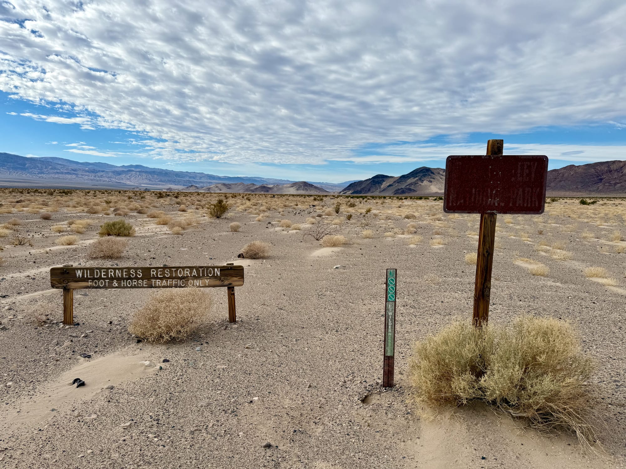
The Eastern Access Road
On the first trip, we entered from CA127 using an old abandoned mining road that serviced the southern section of the Saddle Peak Hills (see the blue line on the map).
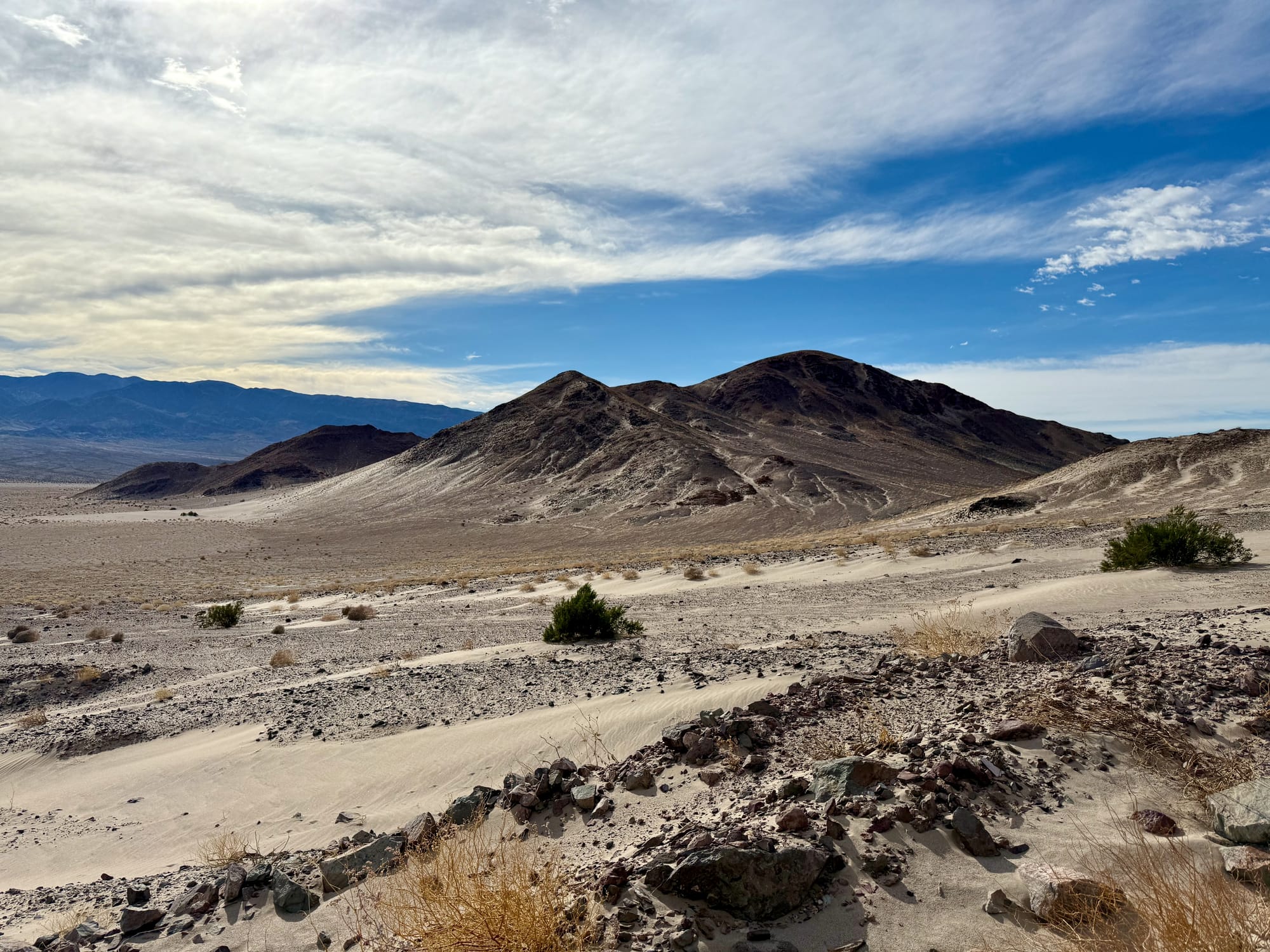
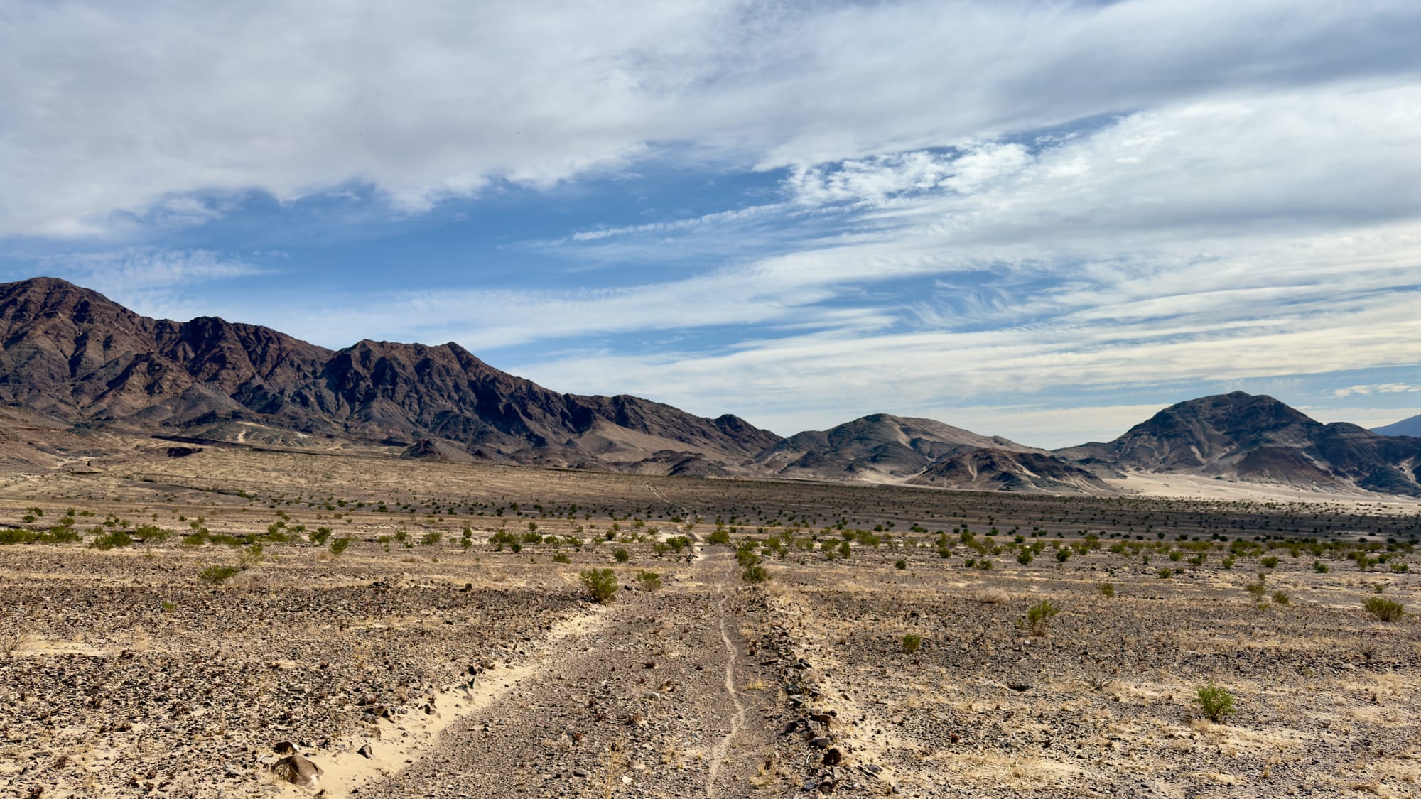
The lighting as we hiked along this road was just right to highlight a great example of a fault block in the southern flank of the Saddle Peak Hills. IN the below image, trace out the darker colored, triangular, block of rock. That's an entire different unit of rock than the reddish colored material that is sliding up and into it from years of tectonic activity.
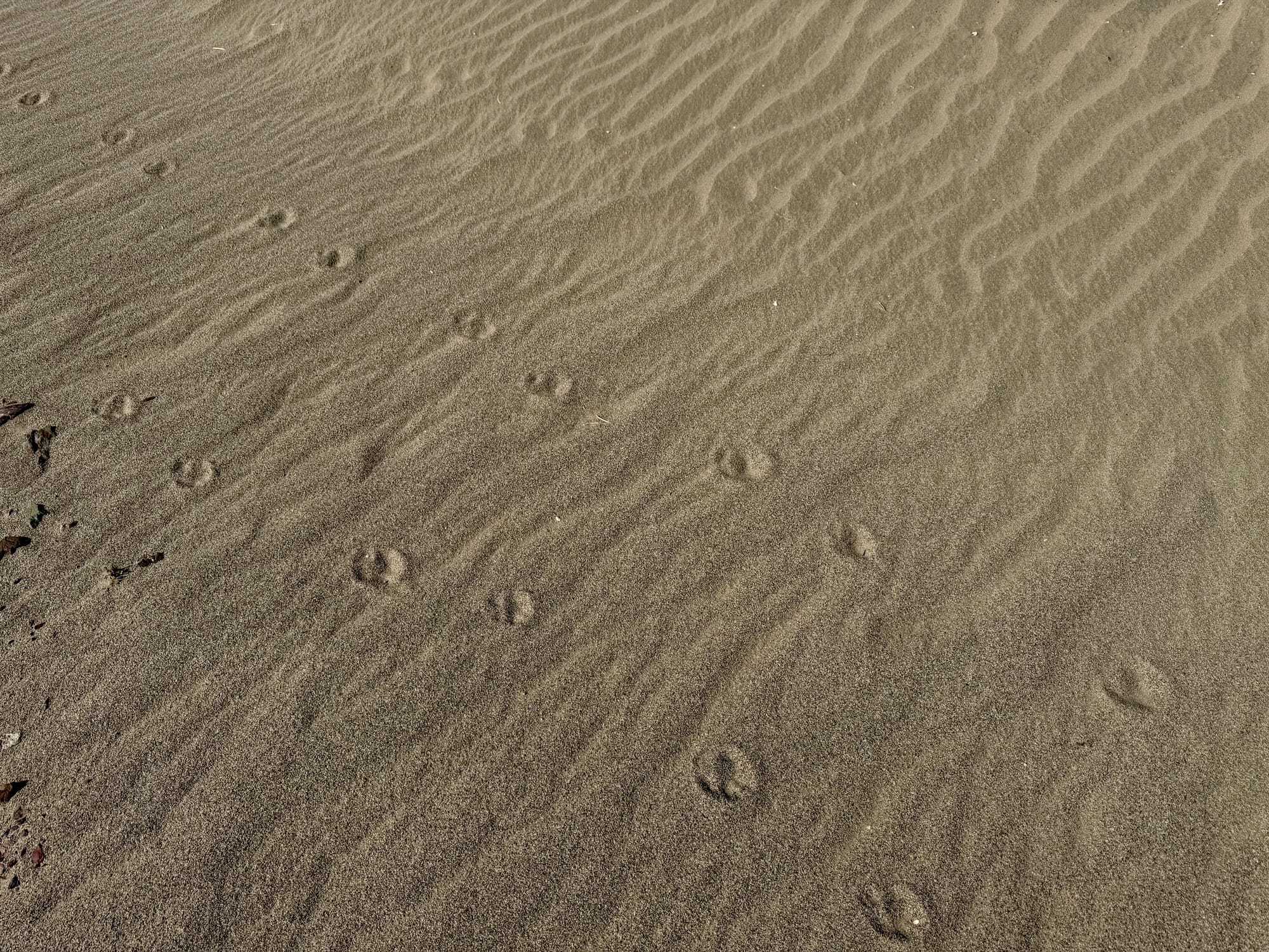
Old section of railroad track. Bighorn sheep tracks. General view from the pass.
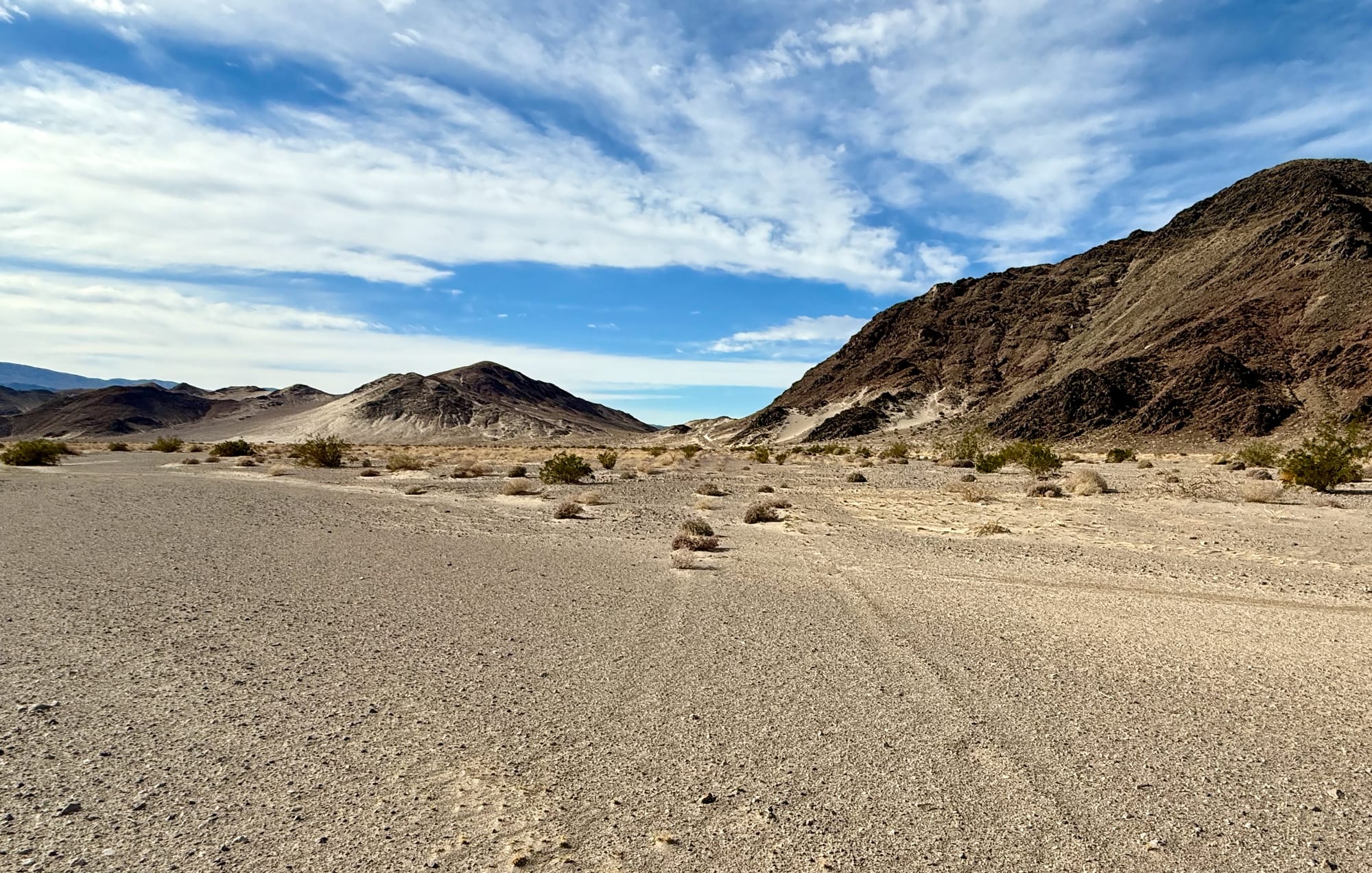
As we crossed the pass, the Ibex Dunes, Ibex Hills, and Ibex Wash came into view.
The Southern Workings
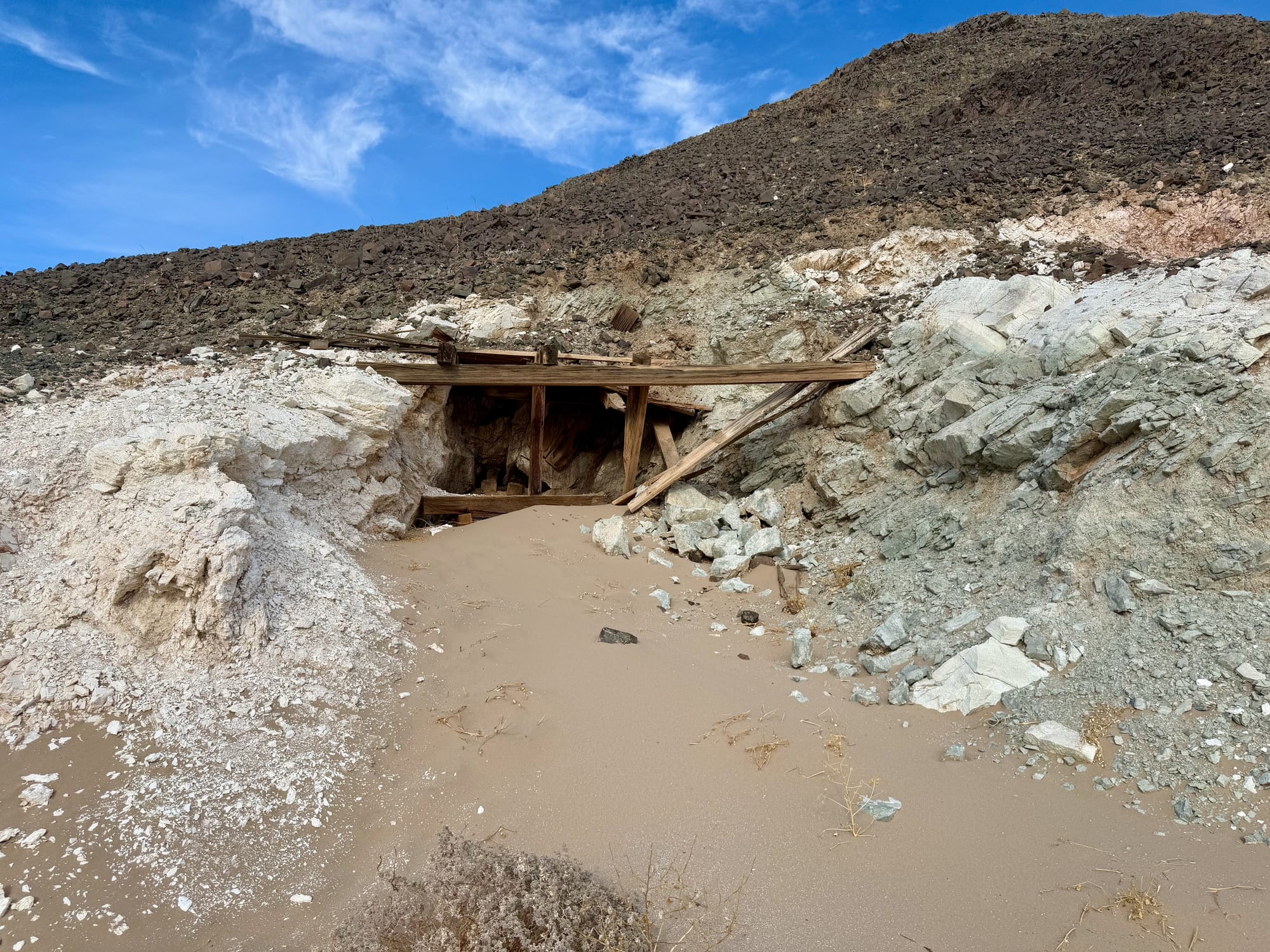
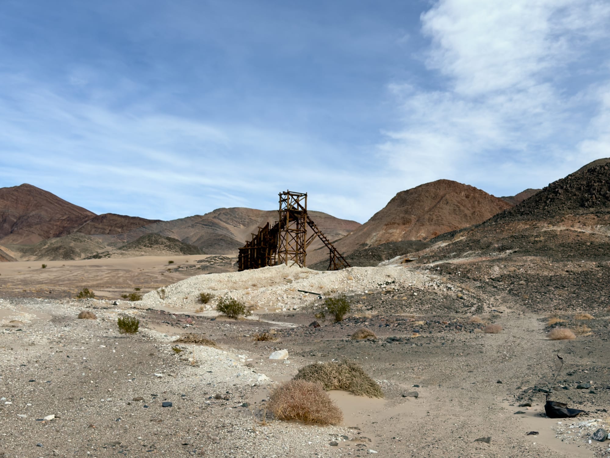
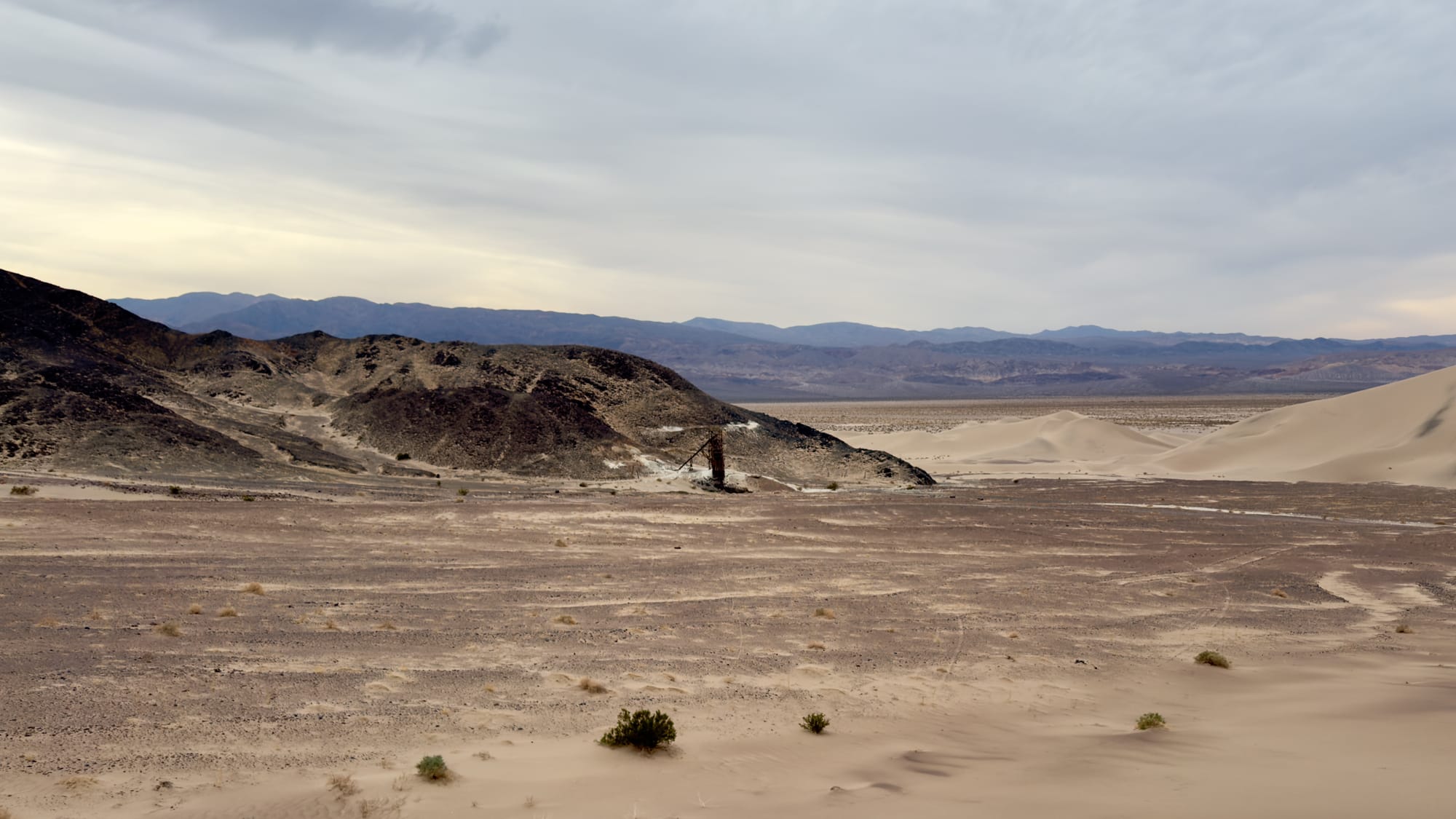
As we rounded the pass onto the western side of the hills, the ore bin I'd been after finally came into view.
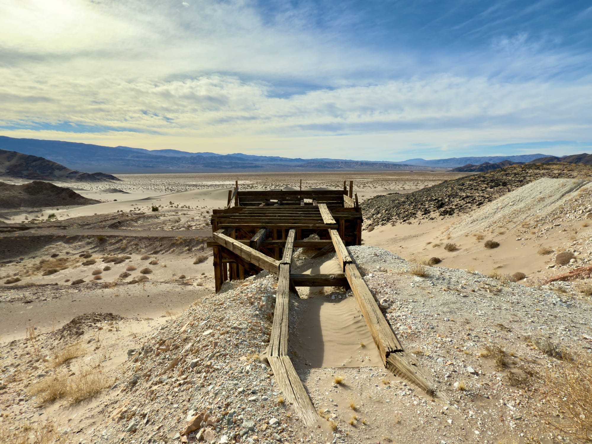
The ore bin at the southern workings
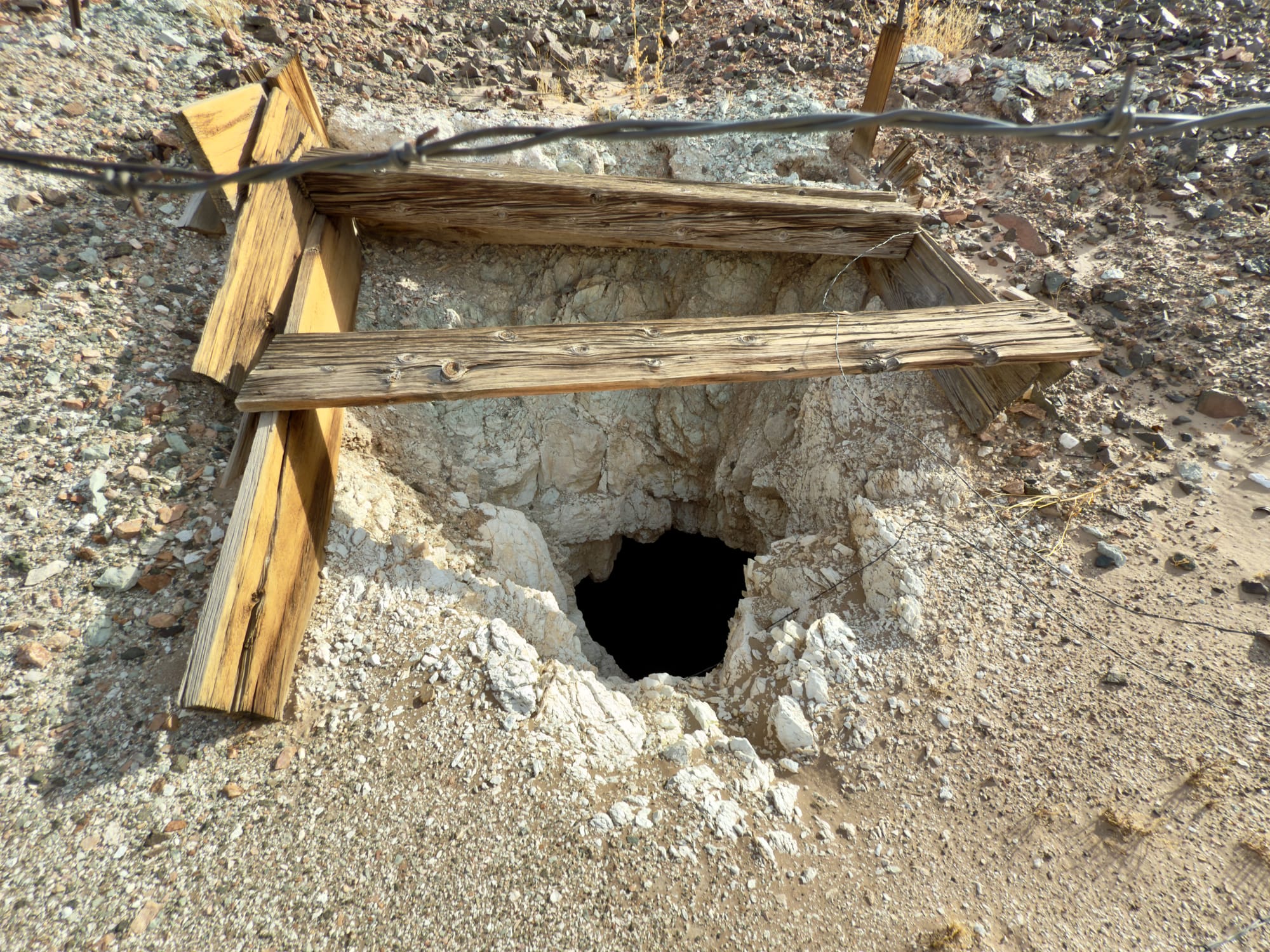
The workings included one main adit and at least two incline shafts (the USGS topo shows four, but I suspect some were backfilled over with waste rock).
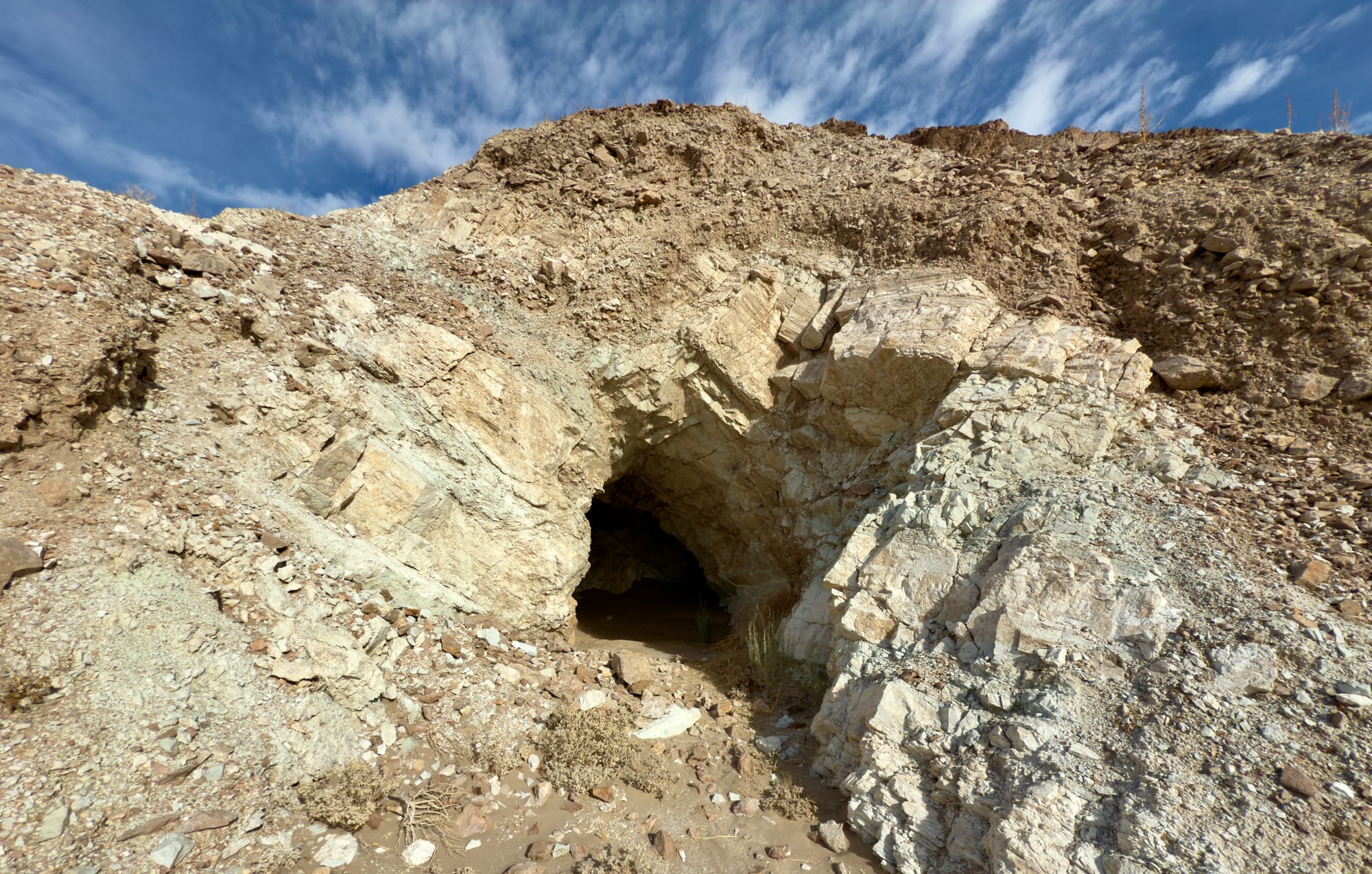
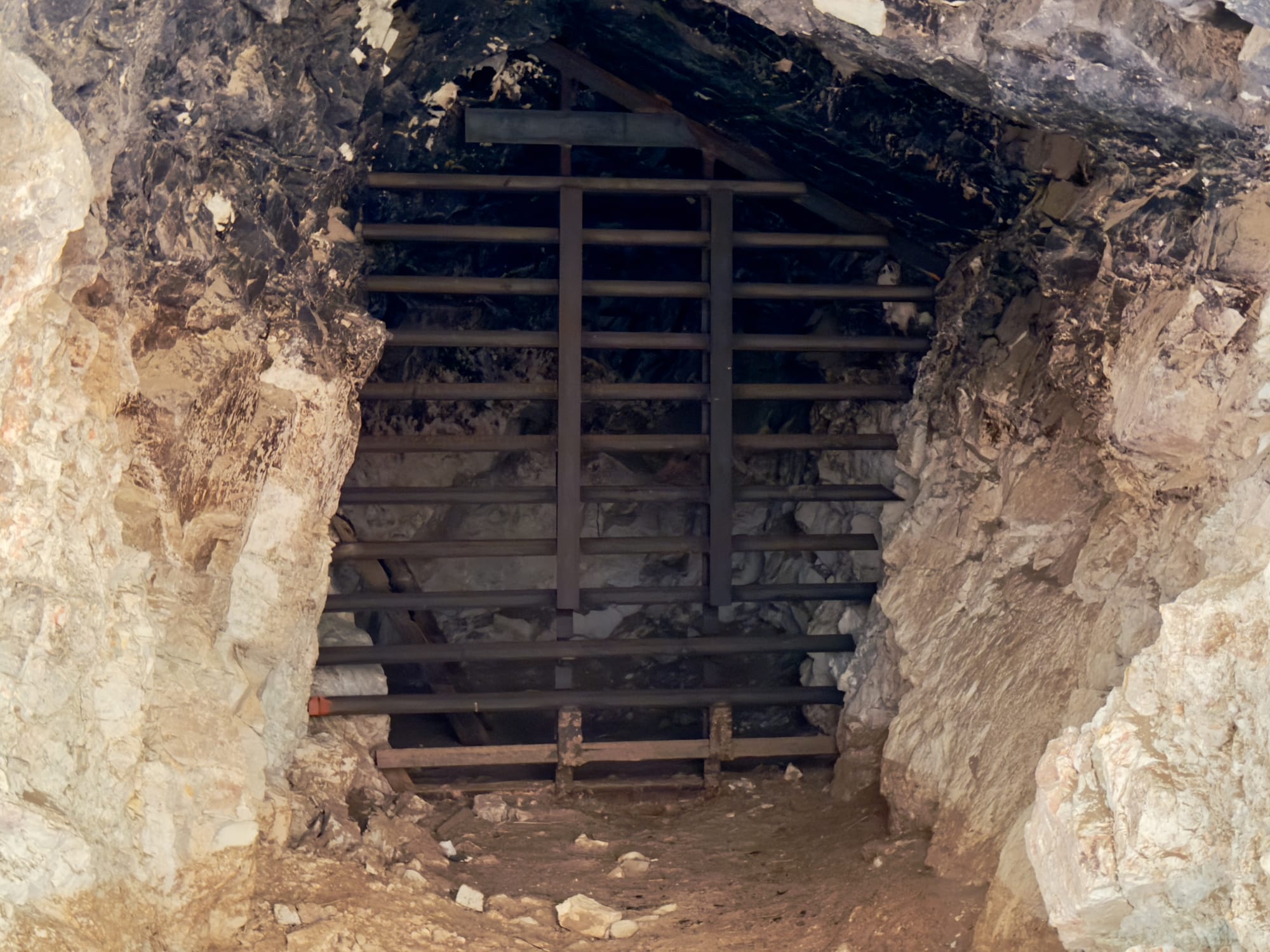
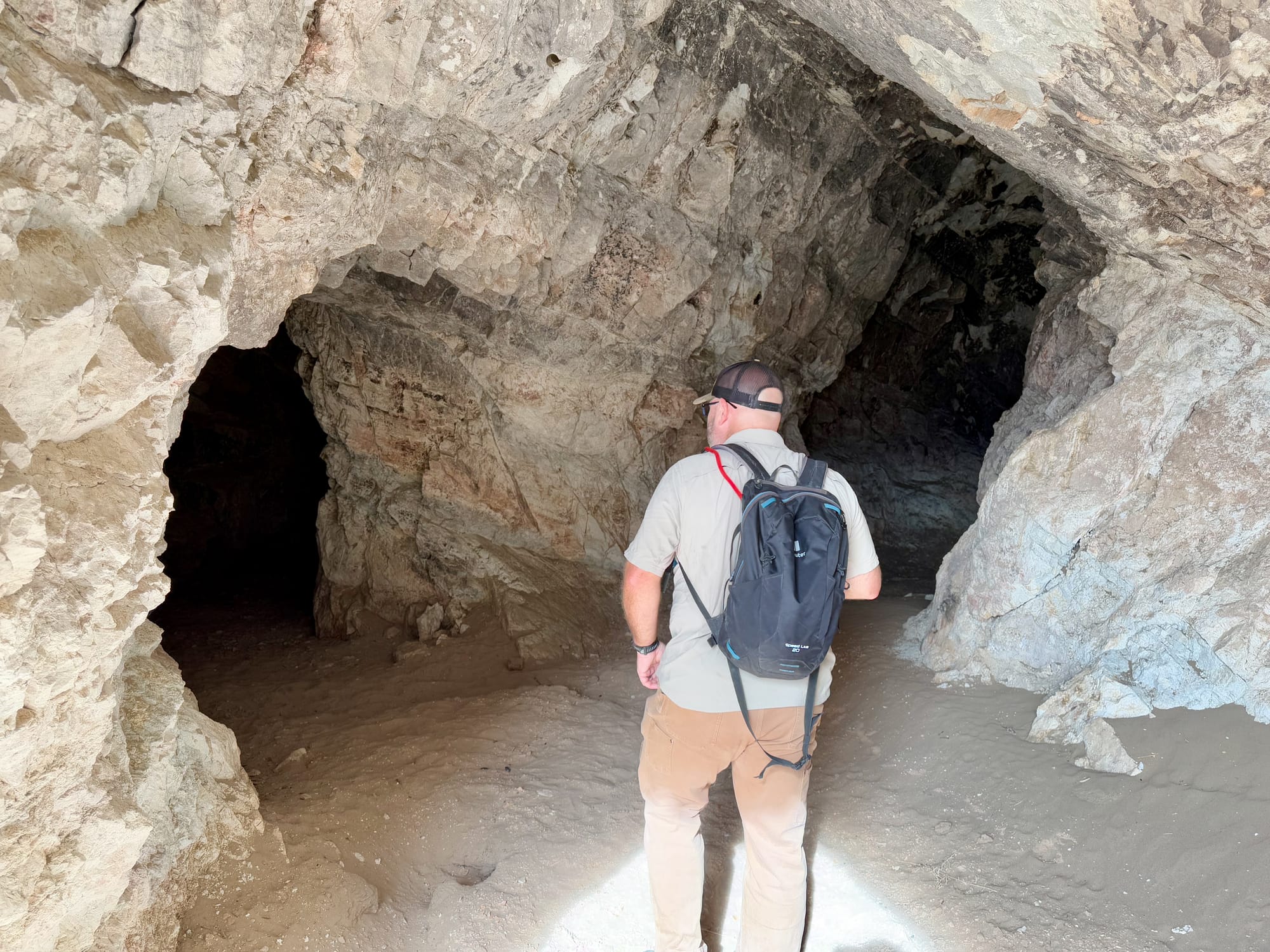
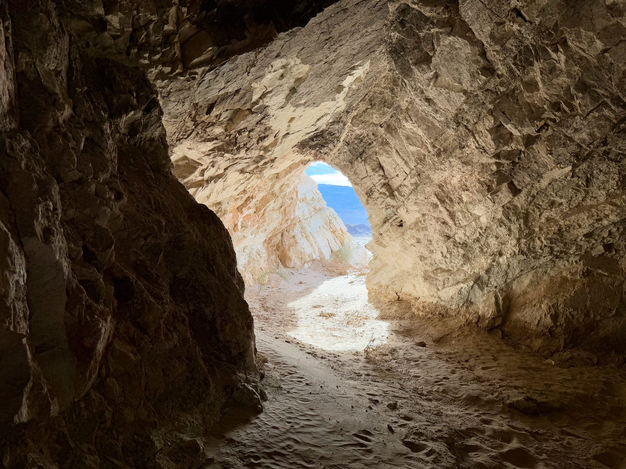
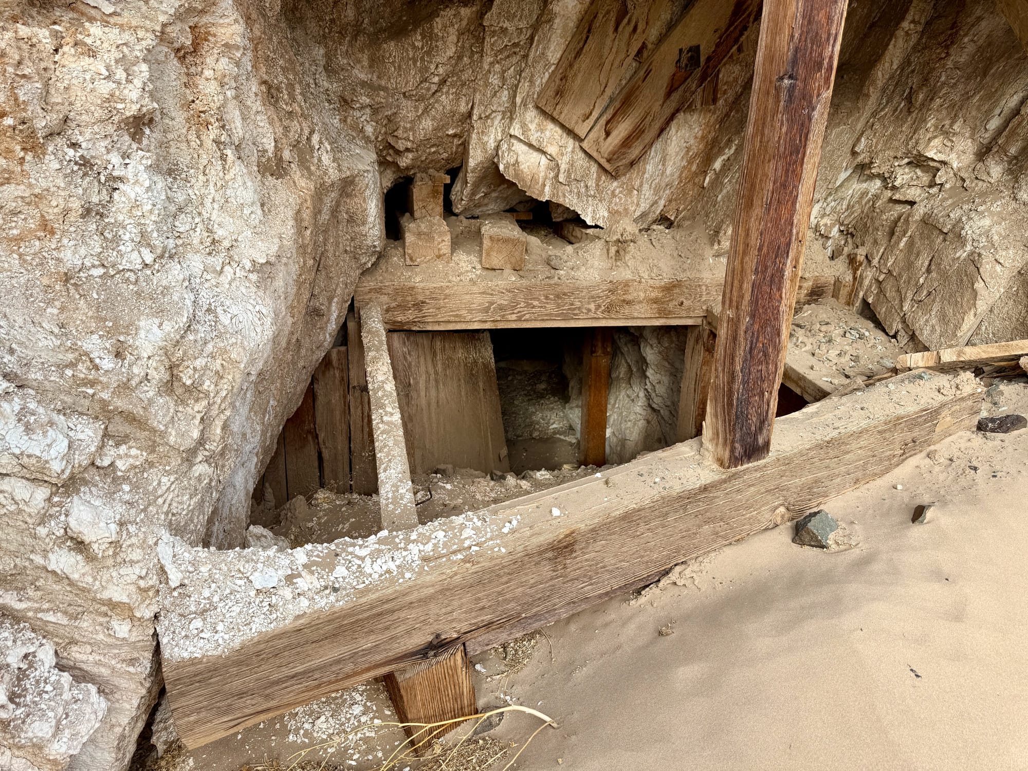
The main adit of the southern workings. You can walk in a ways but there's a bat gate stopping access. Based on the level of cave beyond the bat gate, this is a good thing.
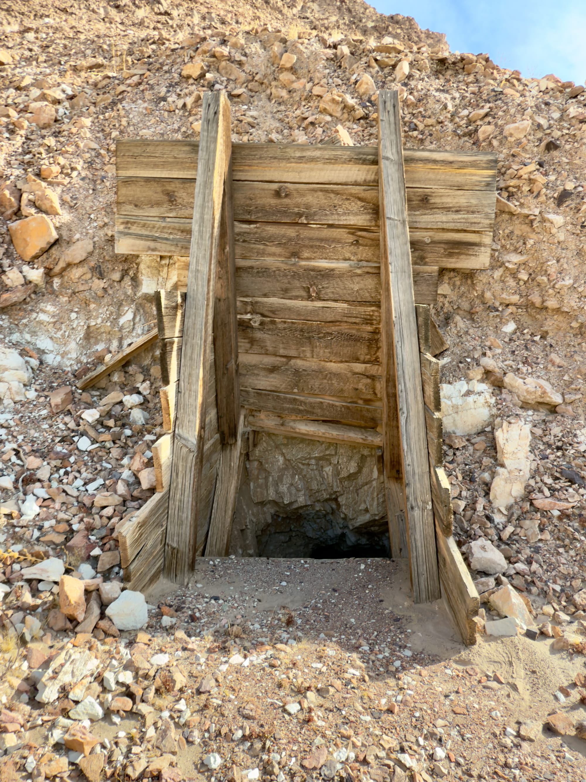
The collars for the two incline shafts we found.
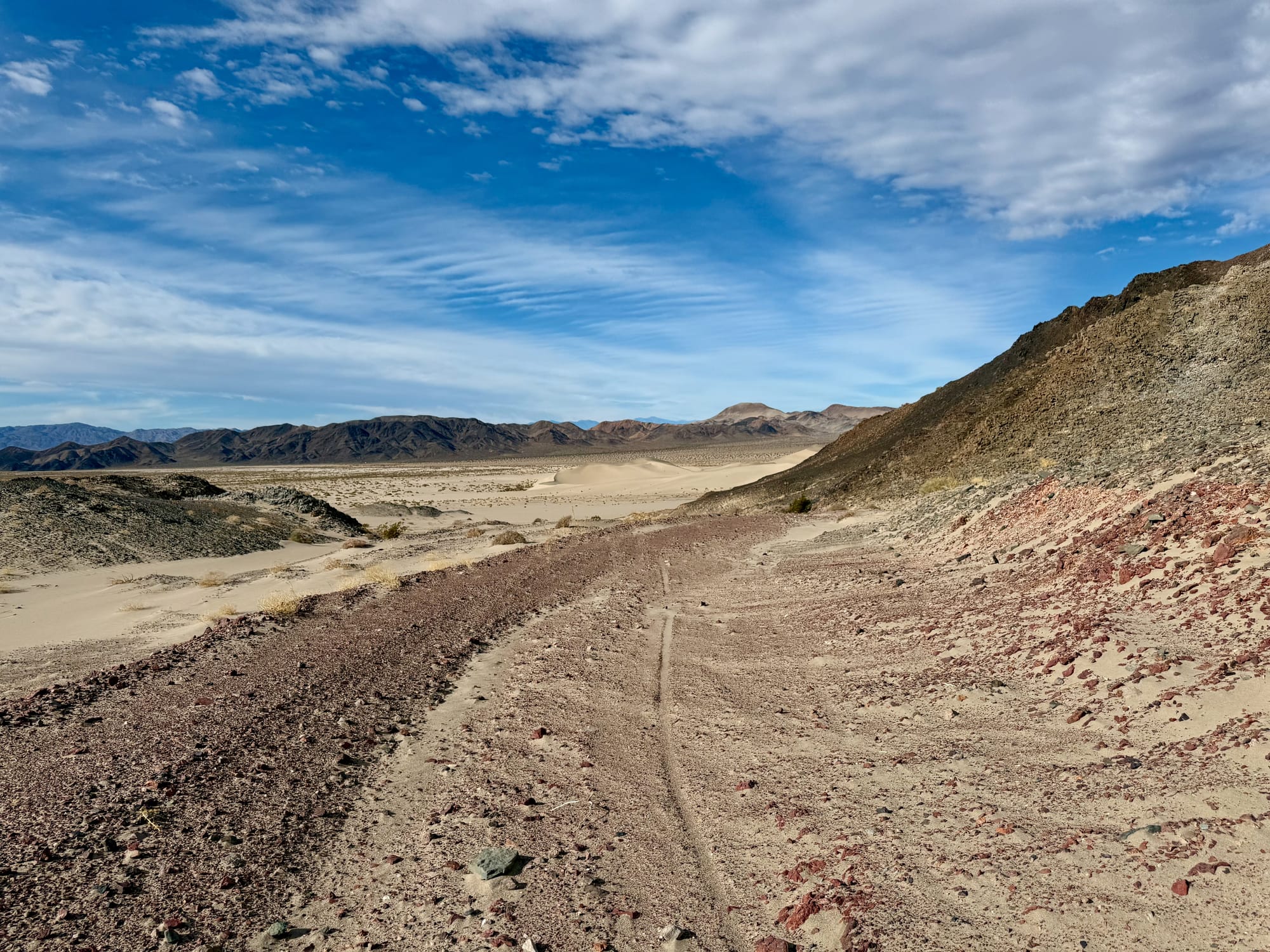
Crossing the Dunes to the Central Workings
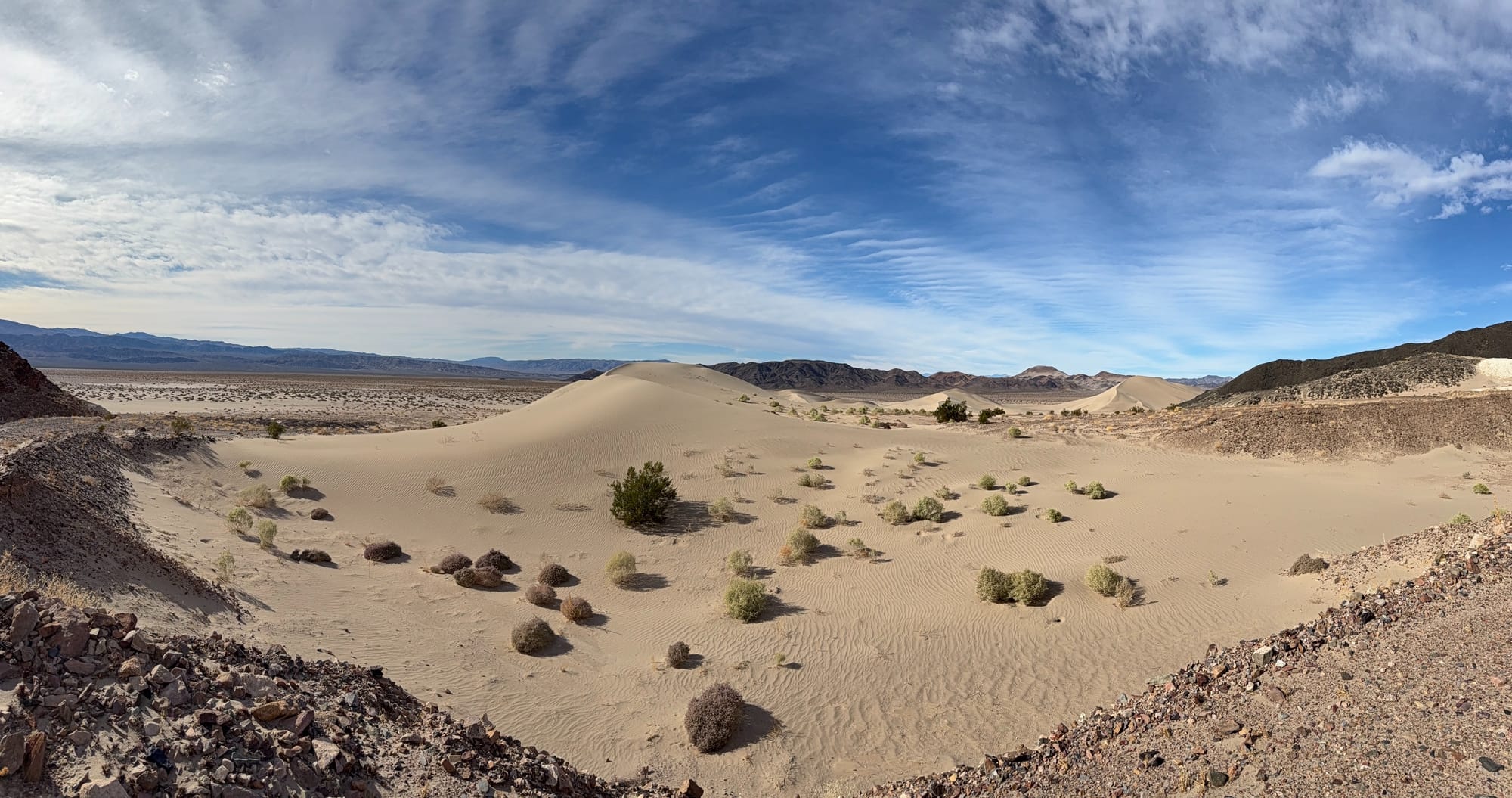
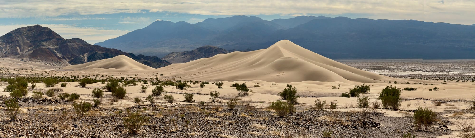
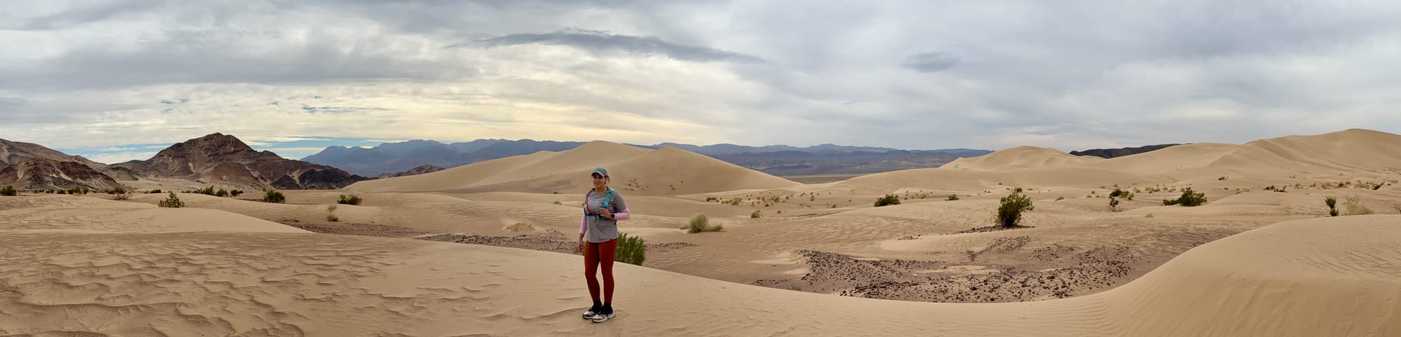
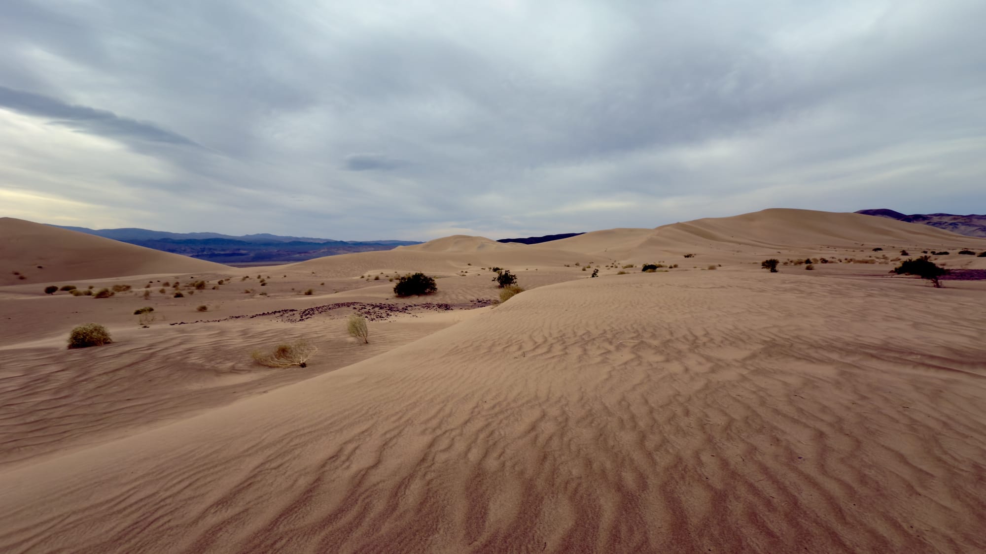
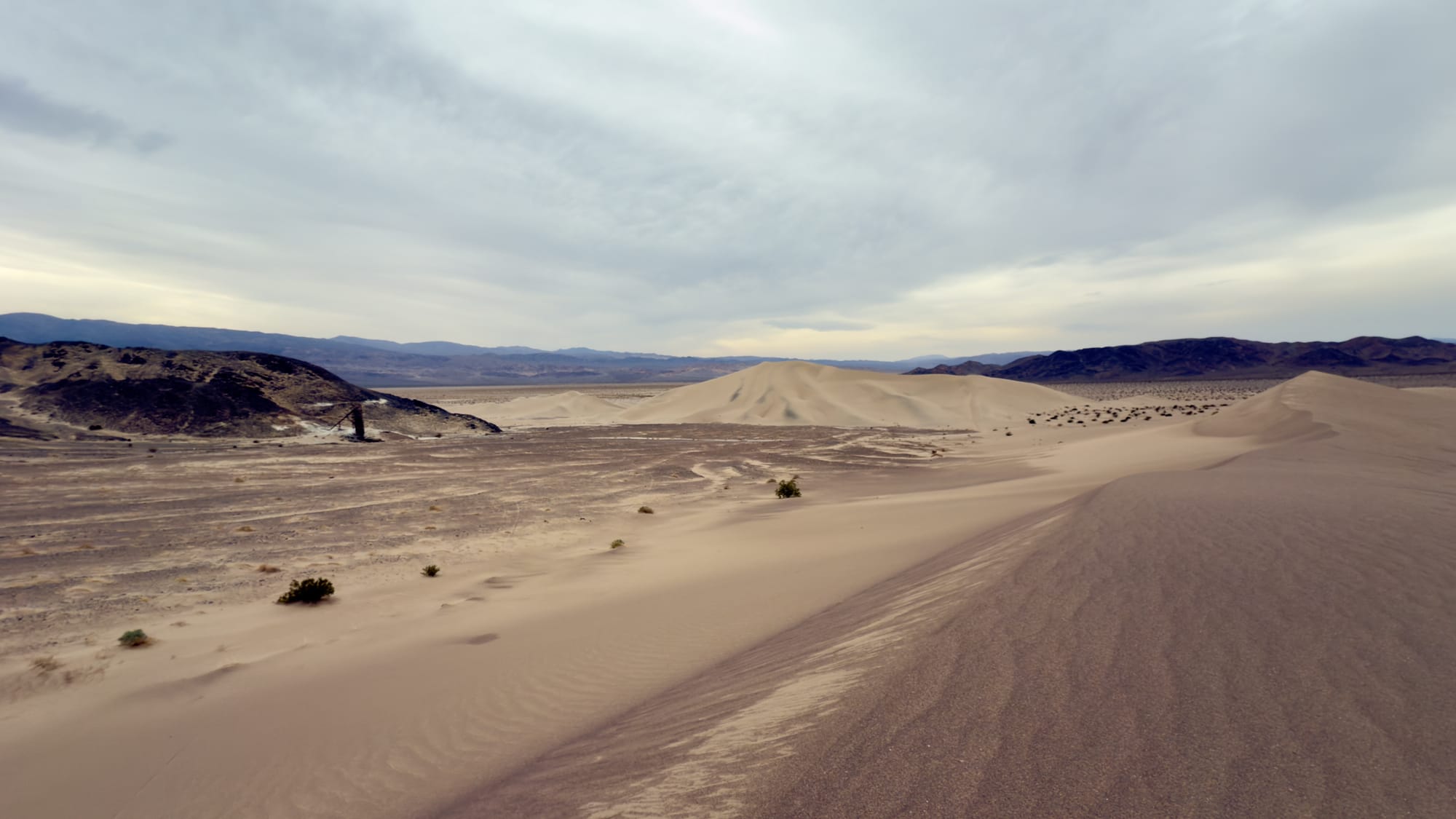
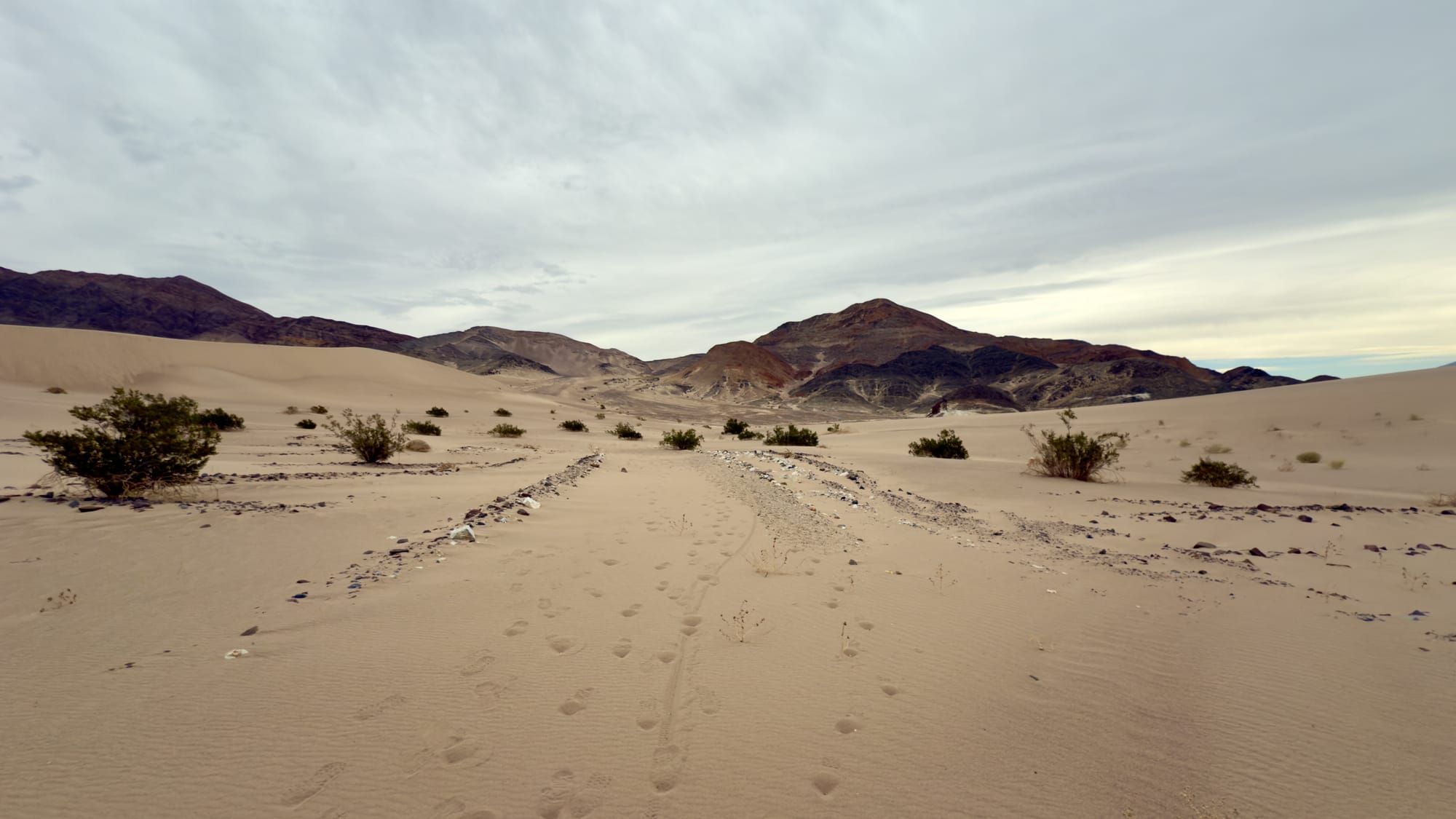
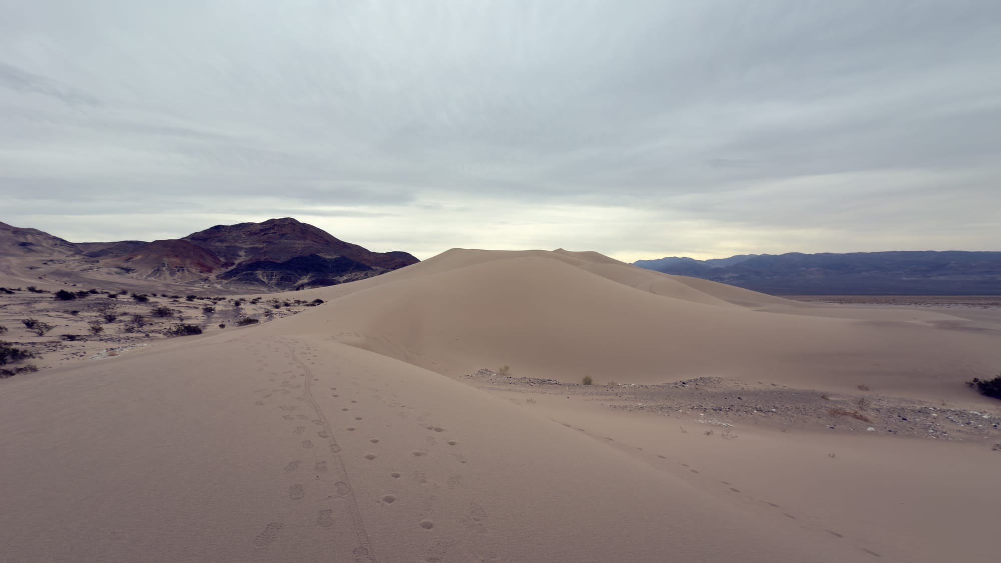
We veered out into the Ibex Dunes to enjoy the view as we made our way to the central workings.
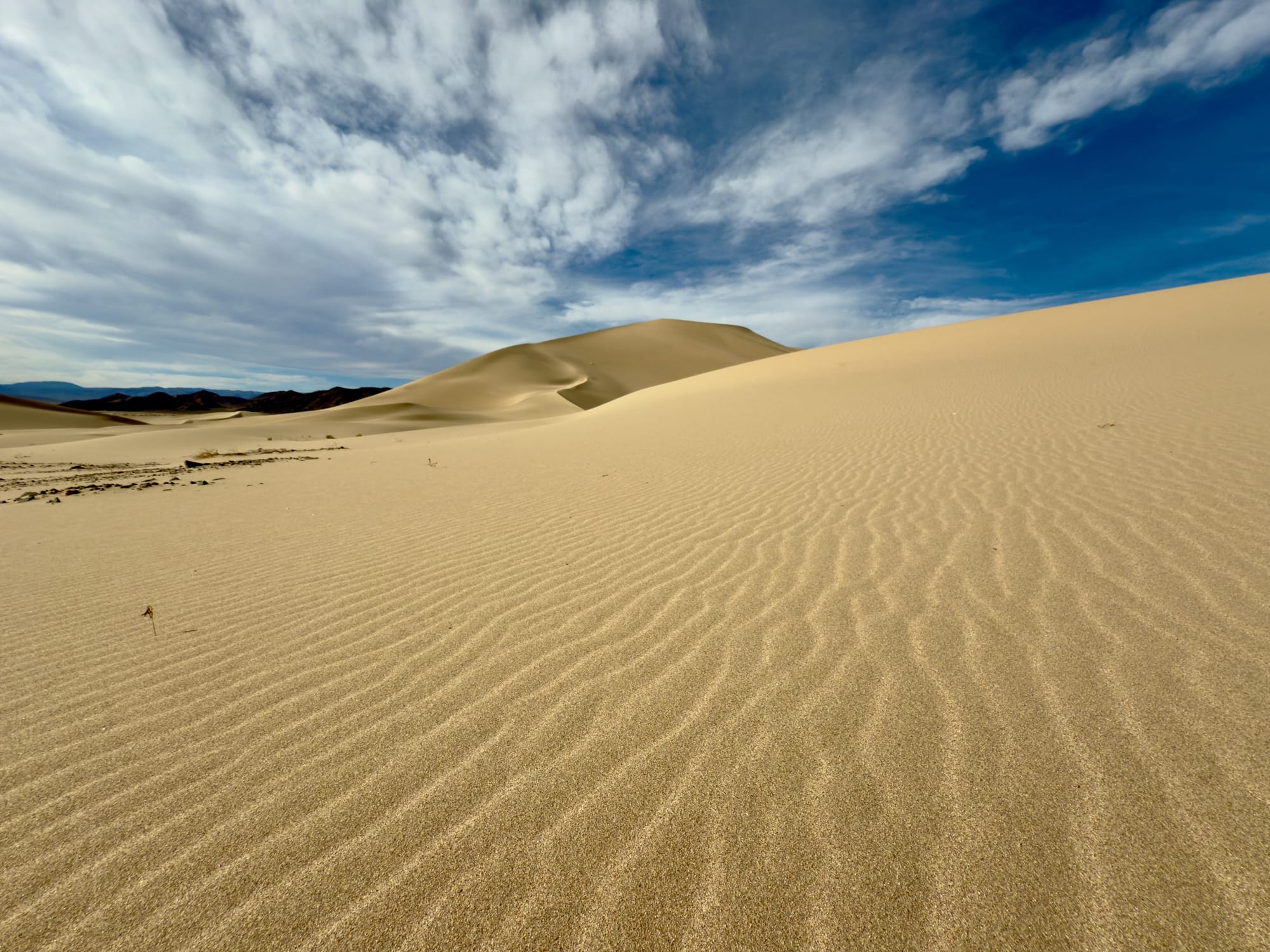
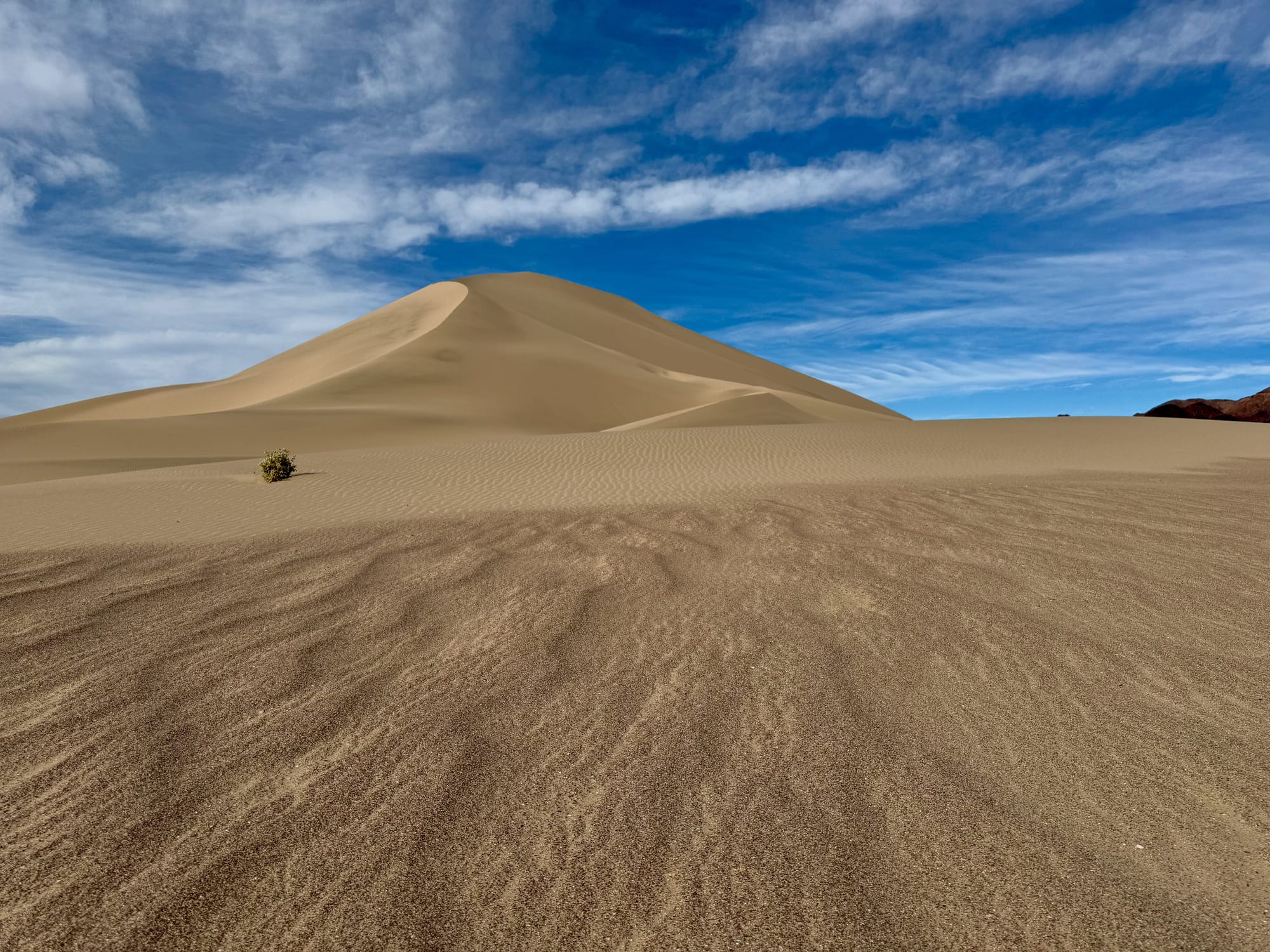
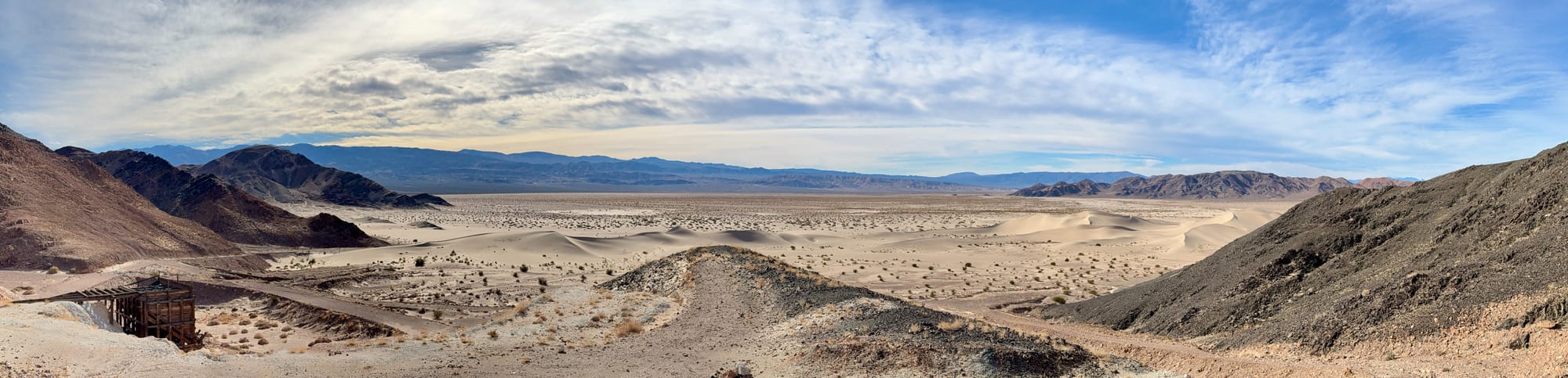
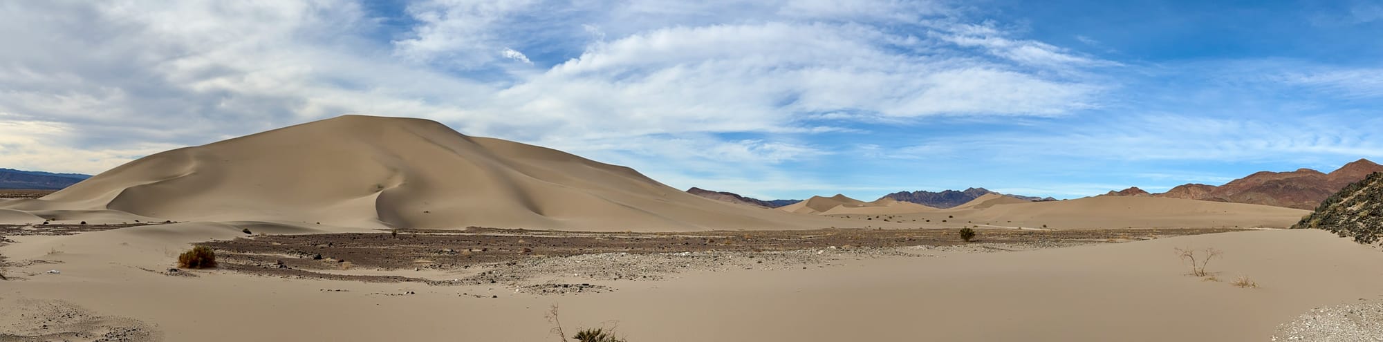
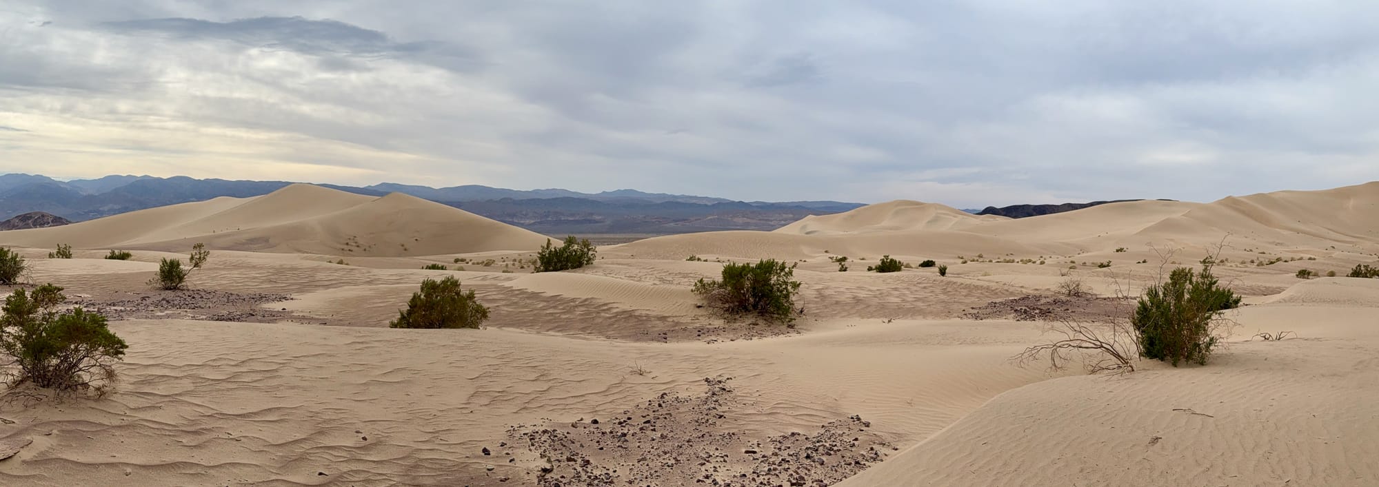
The Ibex Dunes are stunning and get very little traffic.
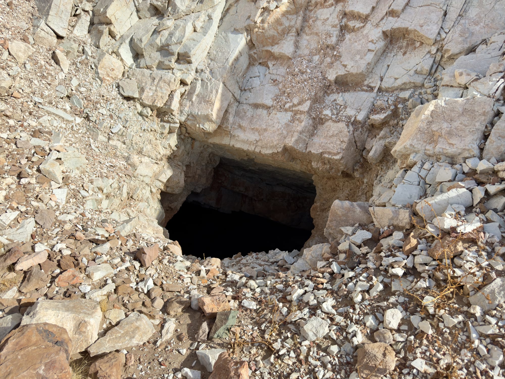
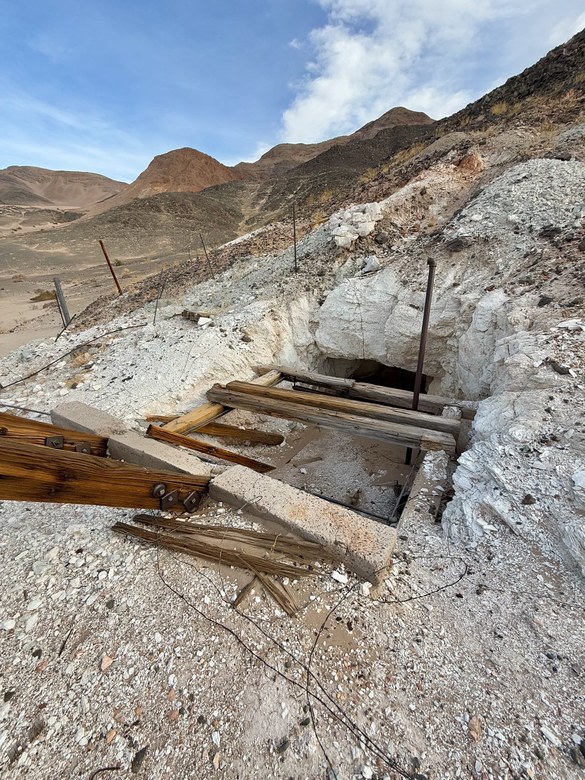
The central workings included a small waste rock ramp with ore track crossties still in place. The adit was full of sand from the adjacent dunes. Looking down into the collapsed collar I could make out the old door but no way I was headed into this one.
The Grimshaw Mine (the northern workings)
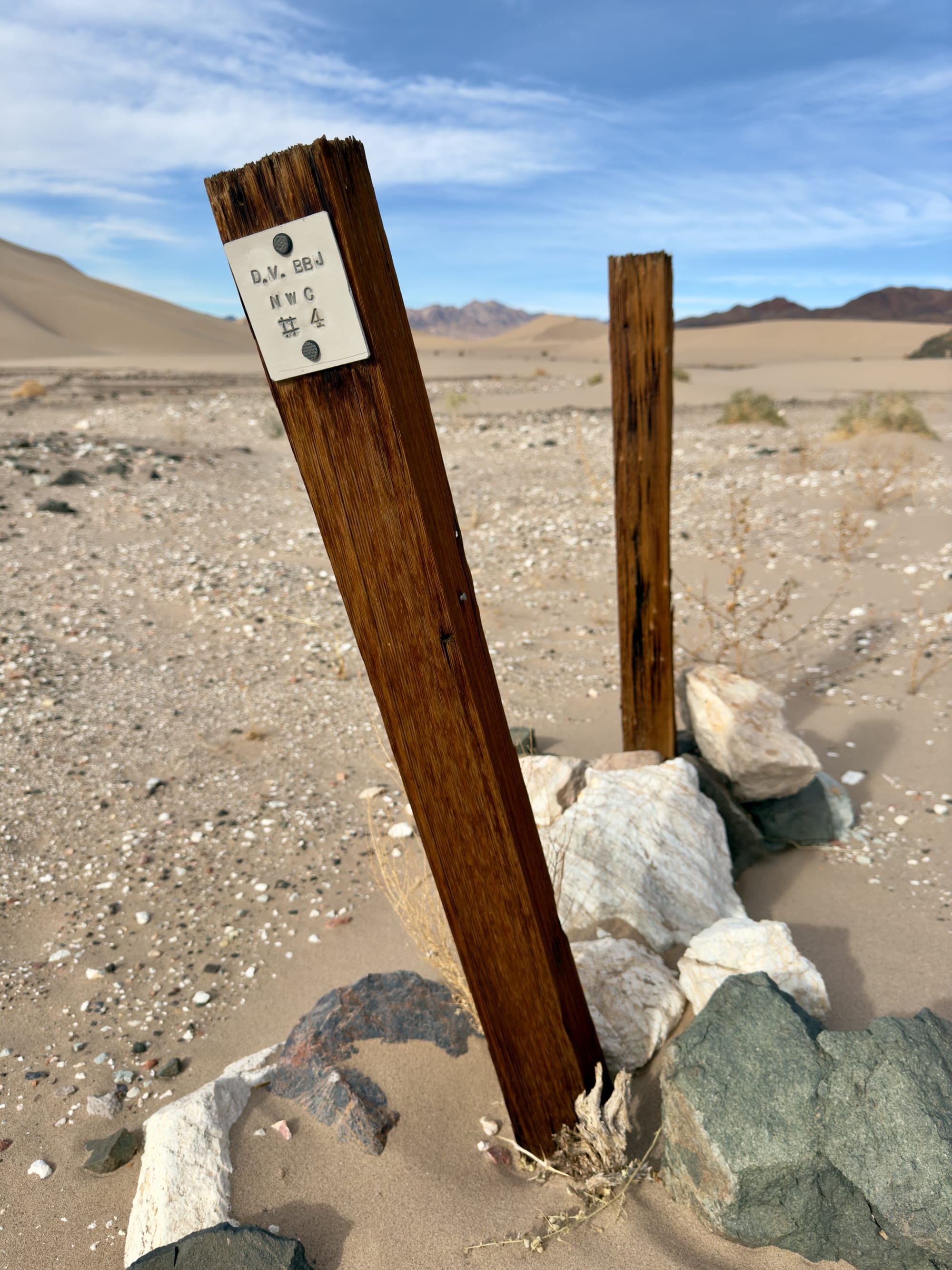
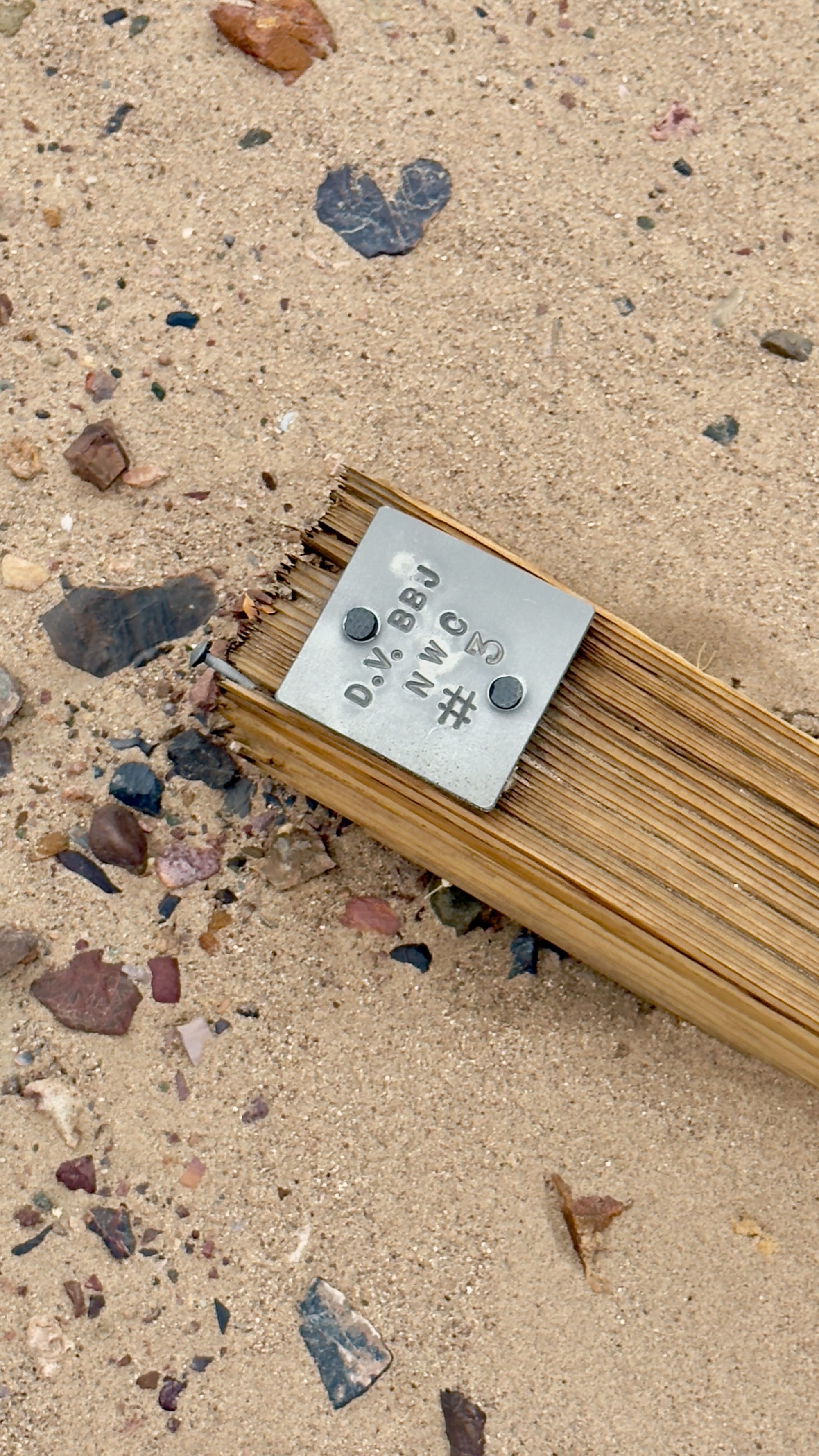
As we continued towards the northern workings, we reentered the dunes to find some intact claim markers.
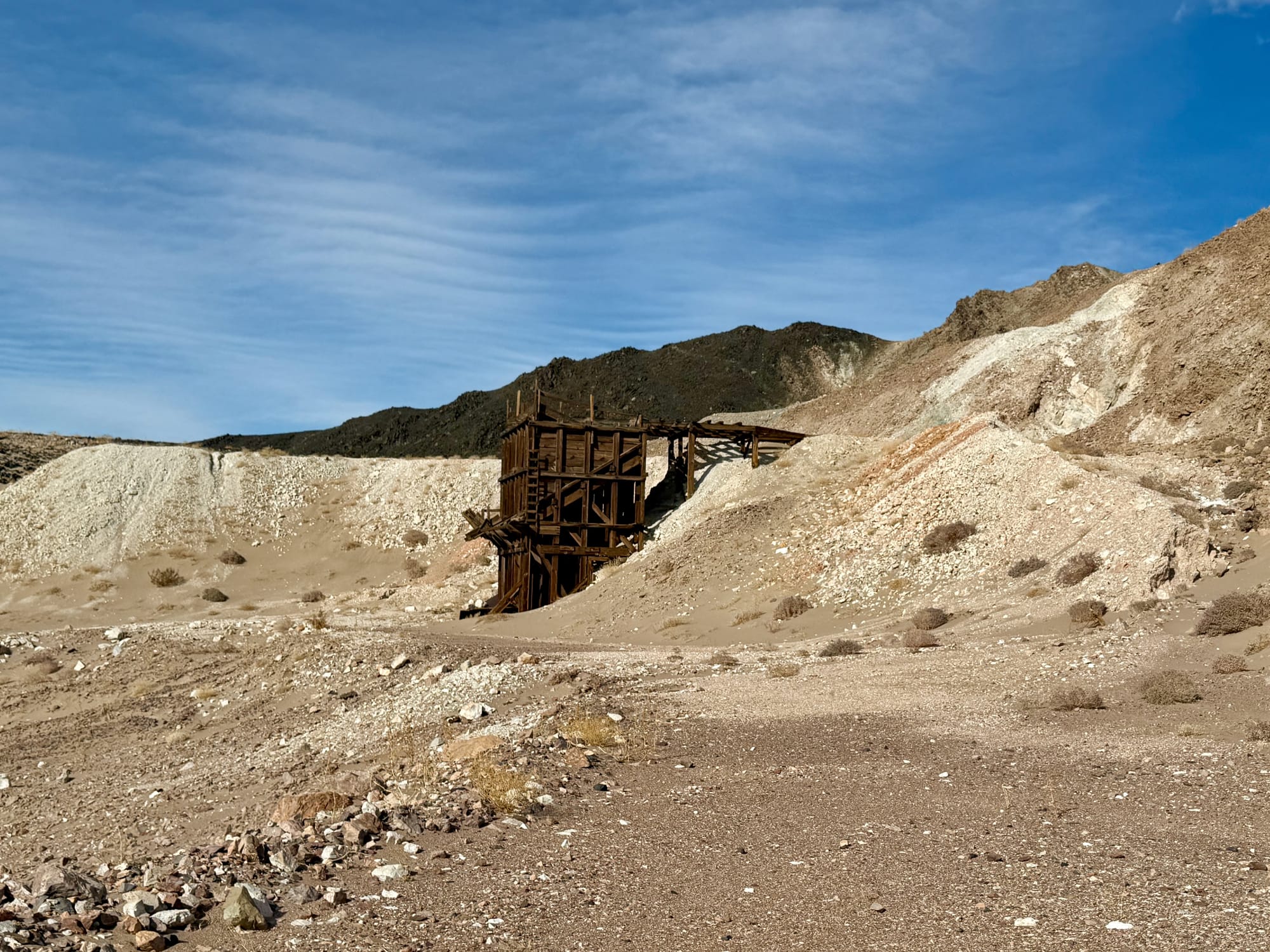
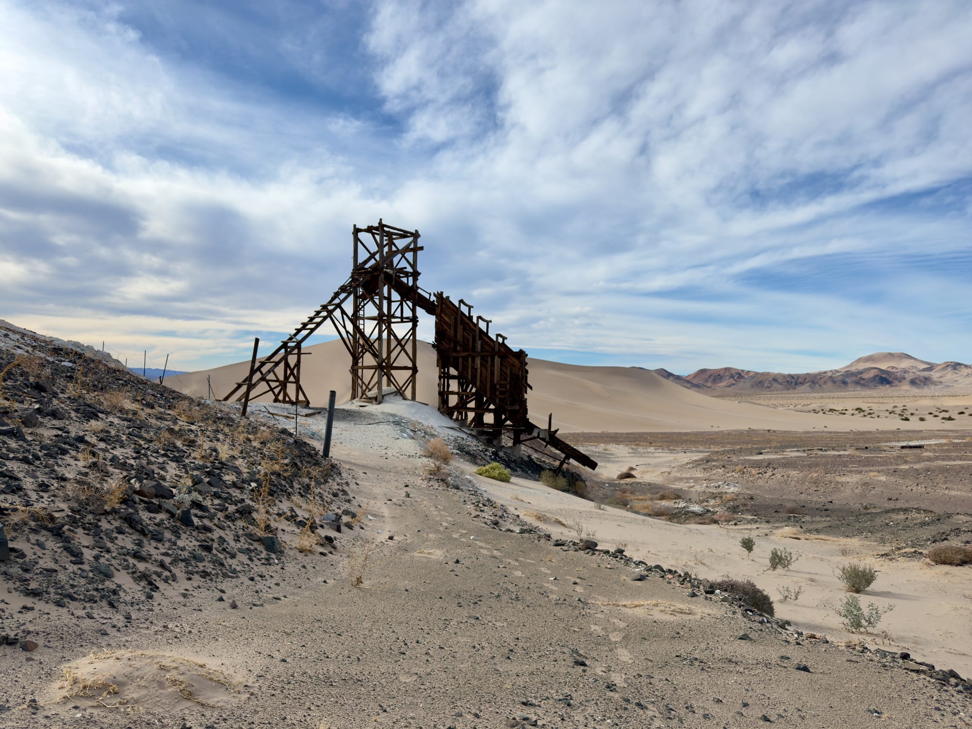
Eventually after climbing up and sliding down many dune arms, we arrived at the Grimshaw Mine. There is quite a big of mine left here, so remember, if you visit: leave it alone, don't take artifacts, let nature do its thing and we can enjoy it in the meantime.
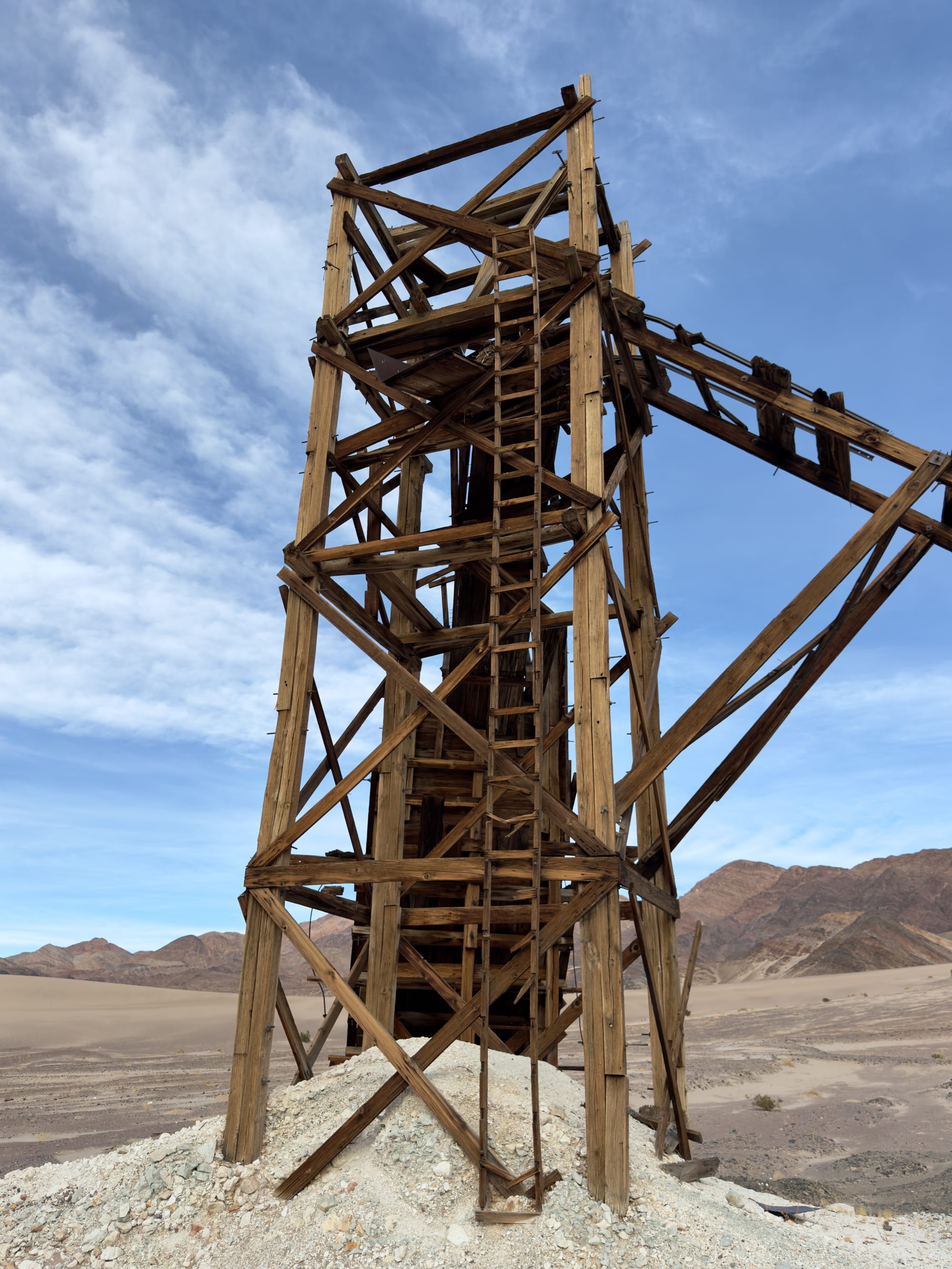
Close up on the headframe, ore bin, incline shaft collar, and an air shaft (or possibly a glory hole). The shaft itself is full of sand and in peering down a lot of caving is evident. A no go from a safety standpoint.
The Northern Route
On our more recent trip back, we decided to try the northern approach to the Grimshaw Mine passing around the top of the dunes (red track on the map). We wanted some mileage on the hike so we parked at the intersection of Harry Wade and Saratoga Springs roads for a 13+ miler.
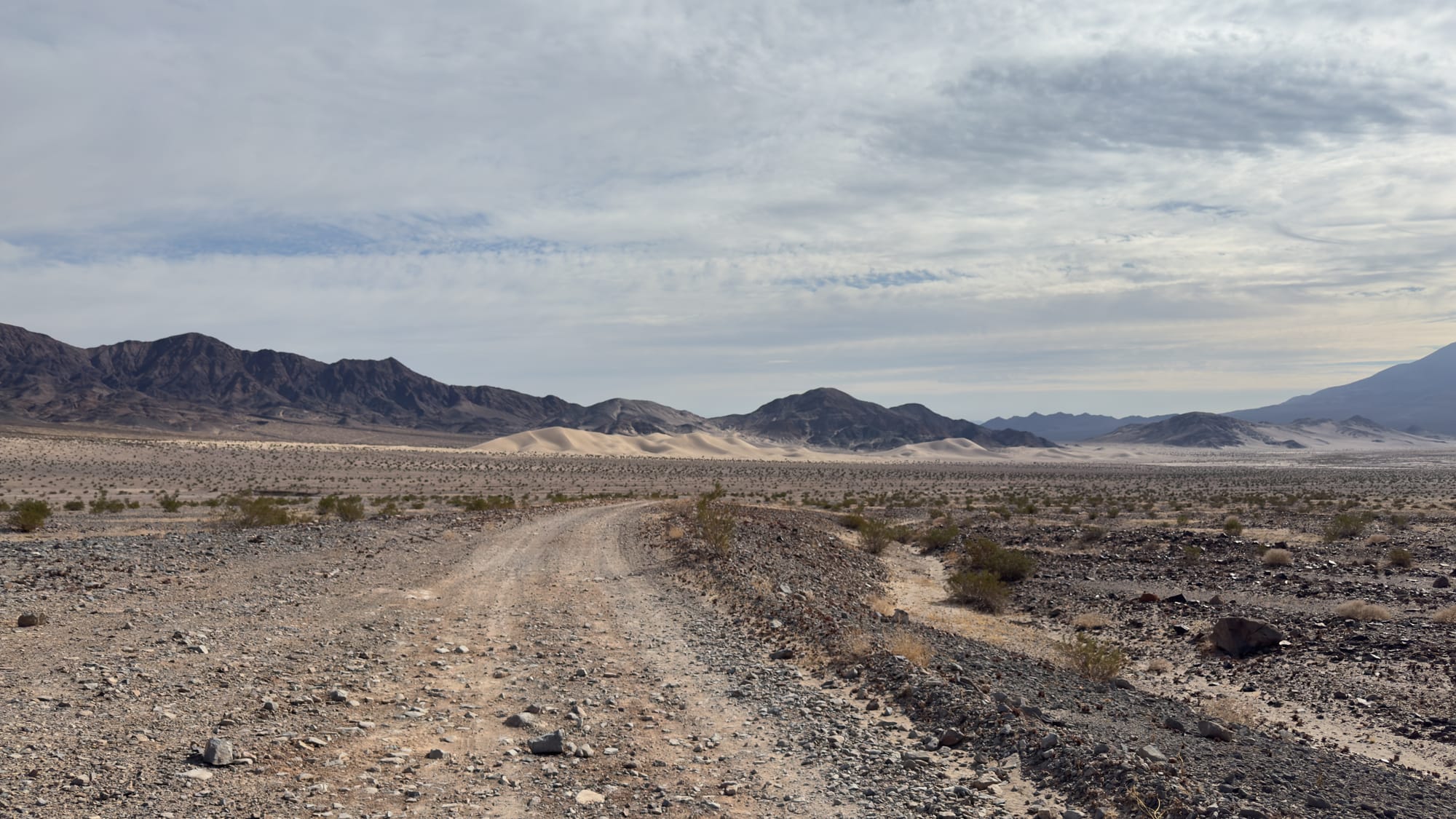
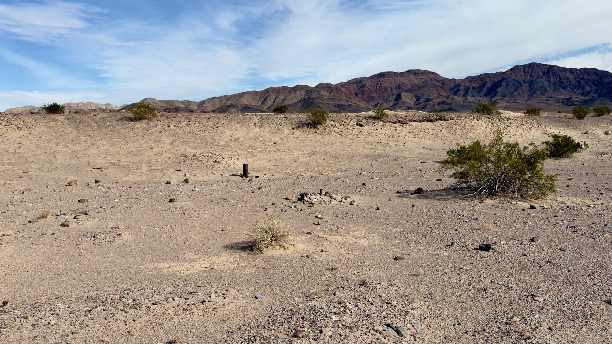
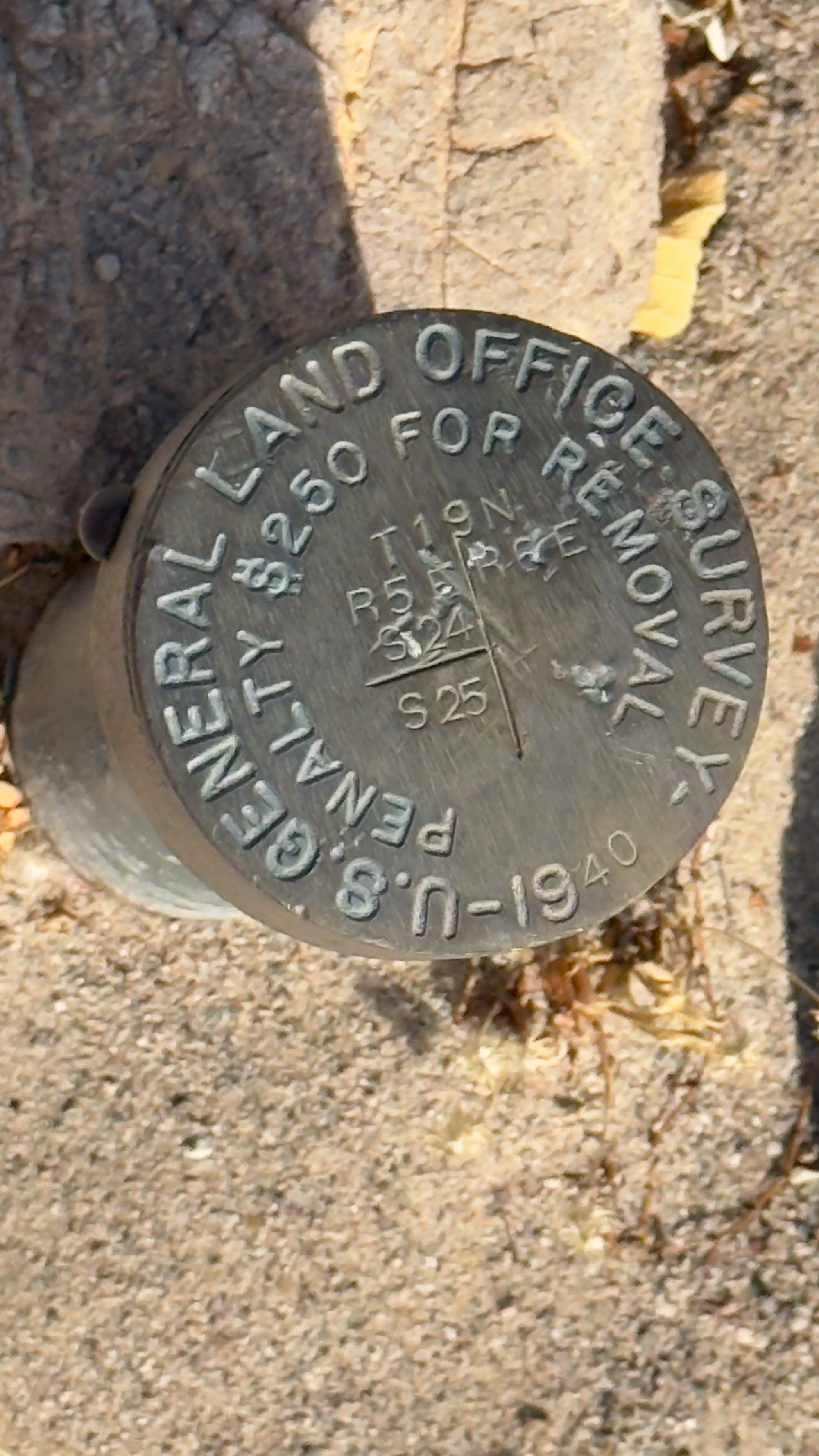
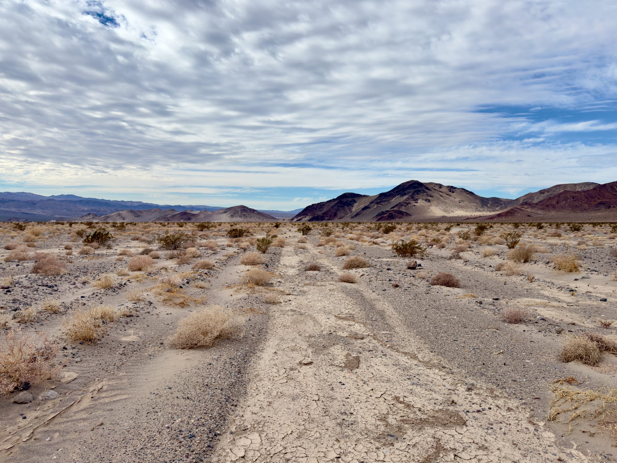
At the intersection where Saratoga Springs Road takes a hard left, keep heading up Ibex Wash. The road eventually makes a Z shape climbing, then dropping back into Ibex Wash. Shortly after you complete the Z, you want to start looking for an old well casing and benchmark. Turn southeast at this point and trend up the small berm where you'll pick up the faint path of an old mining road. This is the northern route into the dunes and Grimshaw Mine.
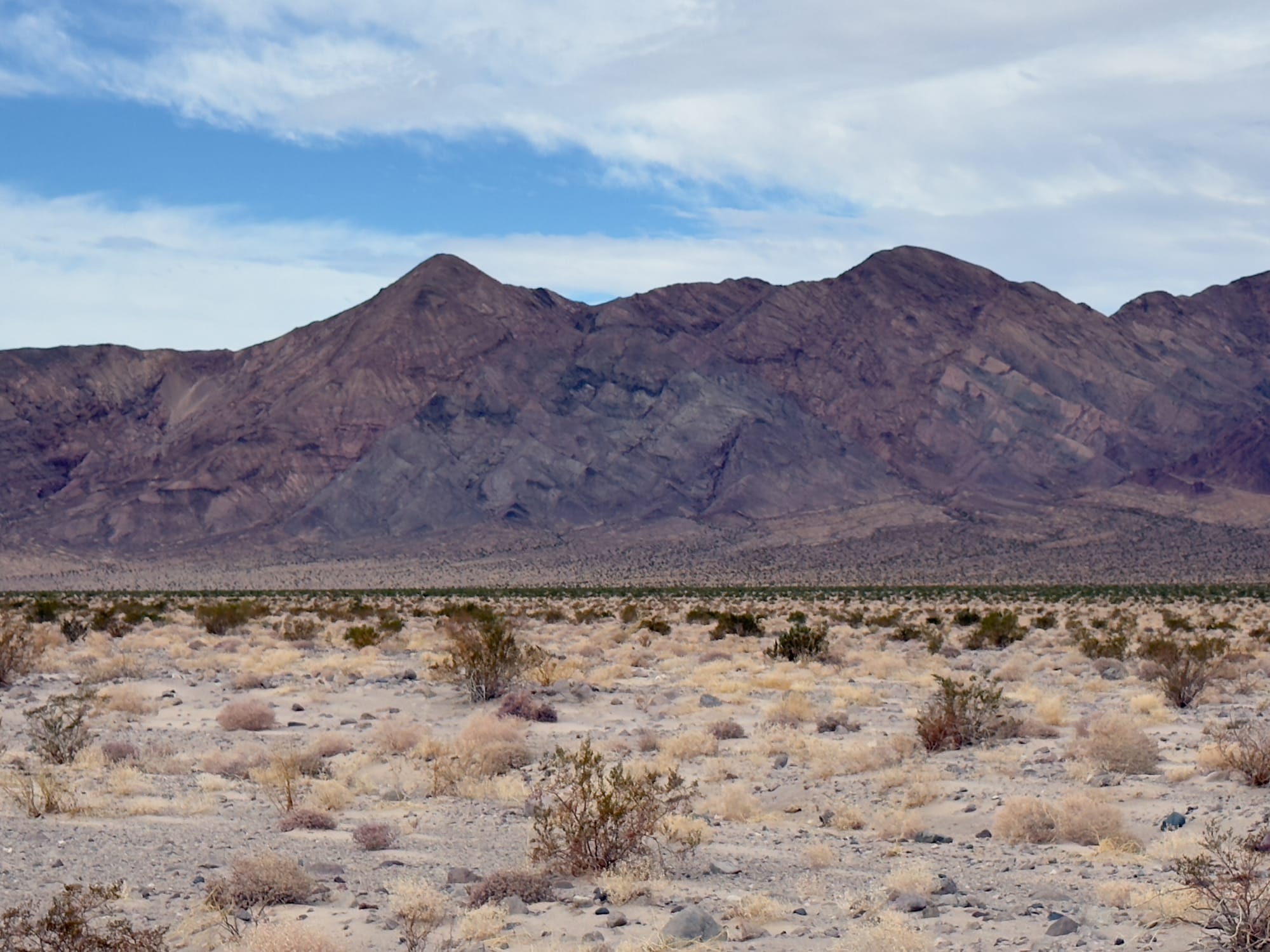
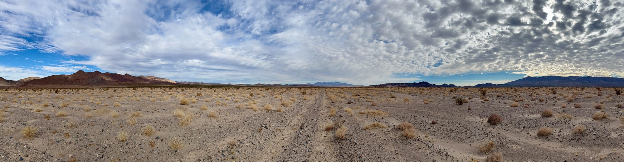
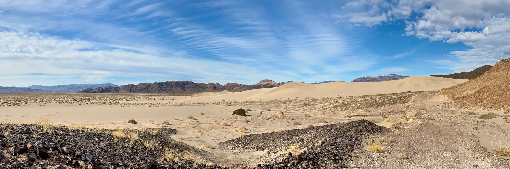
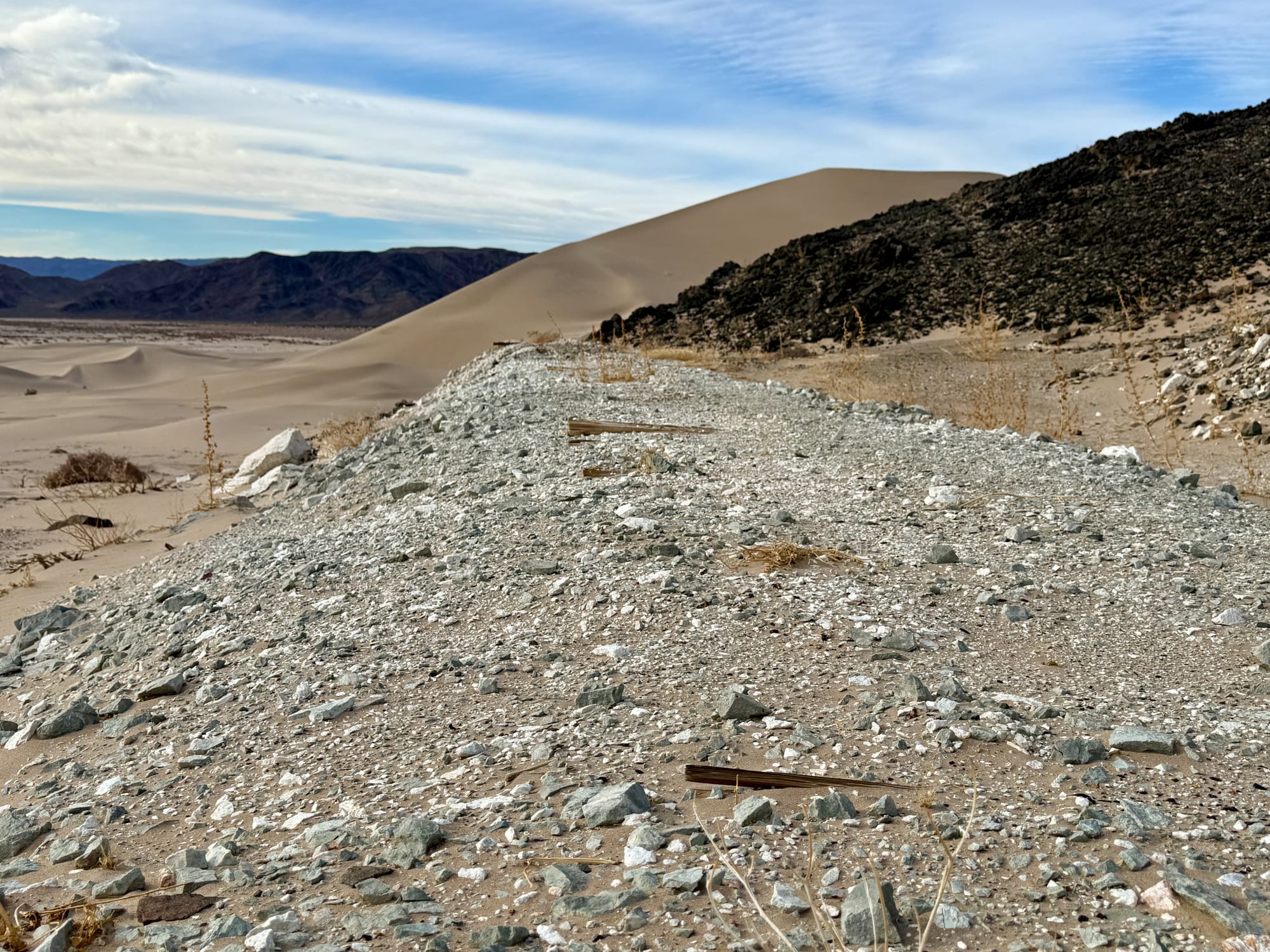
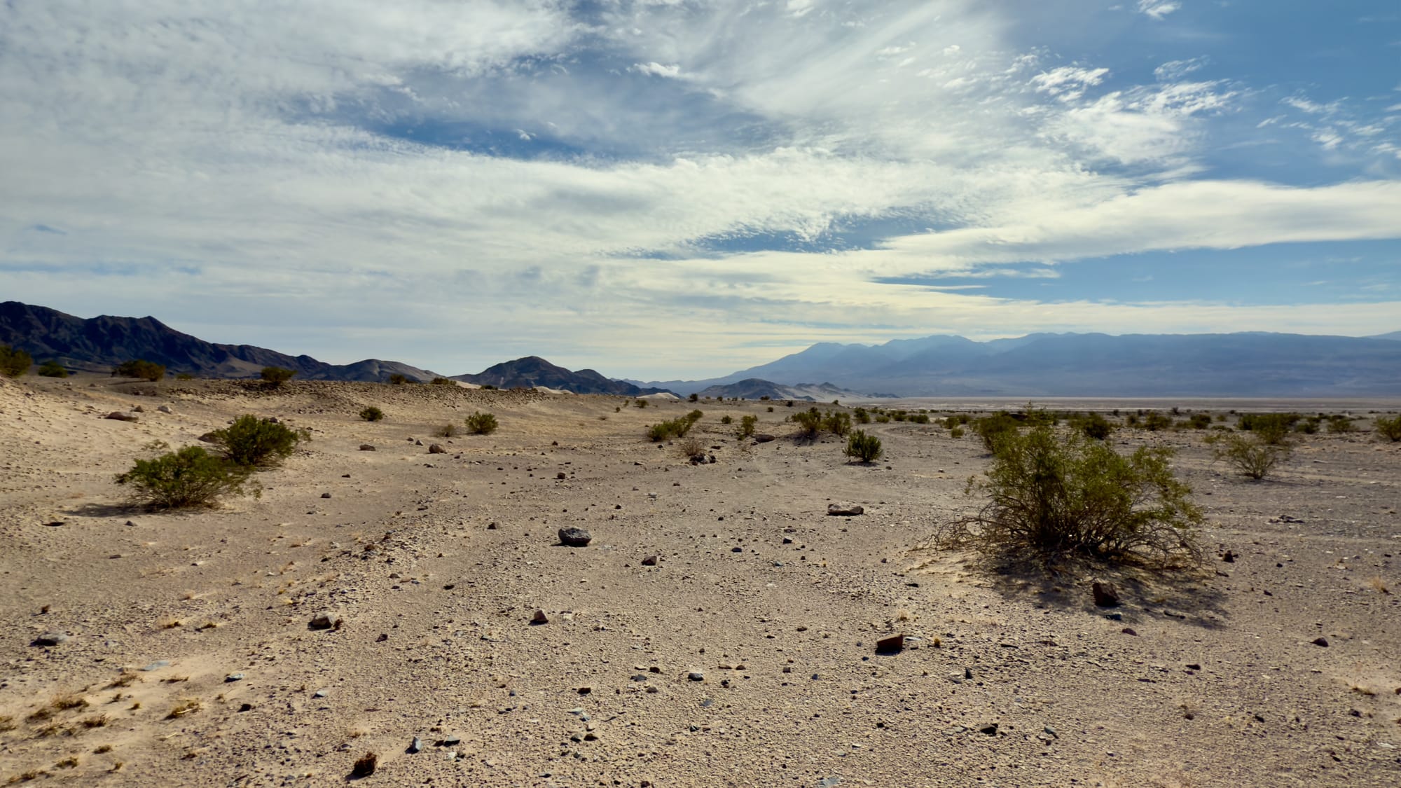
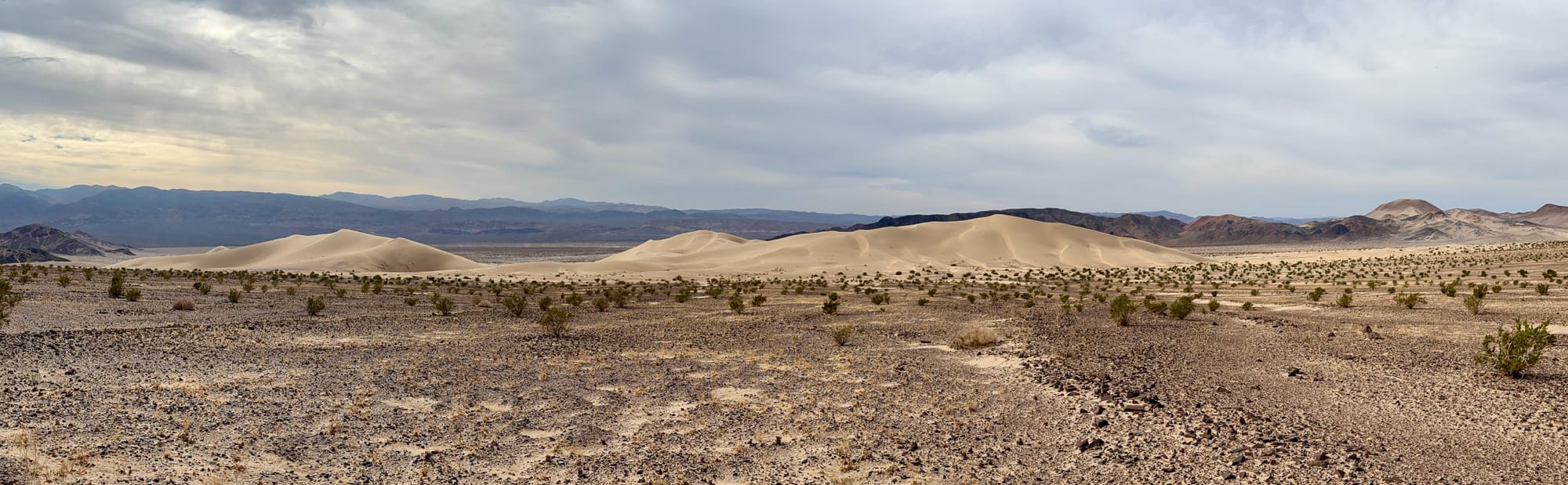
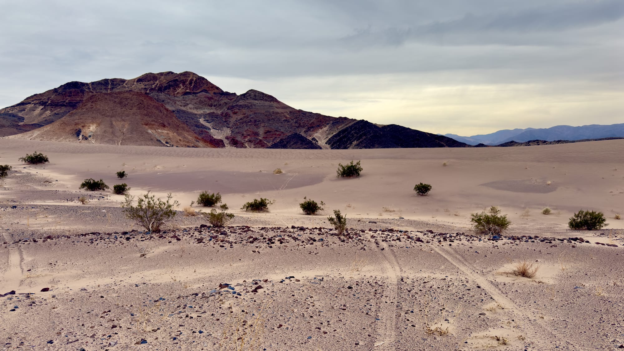
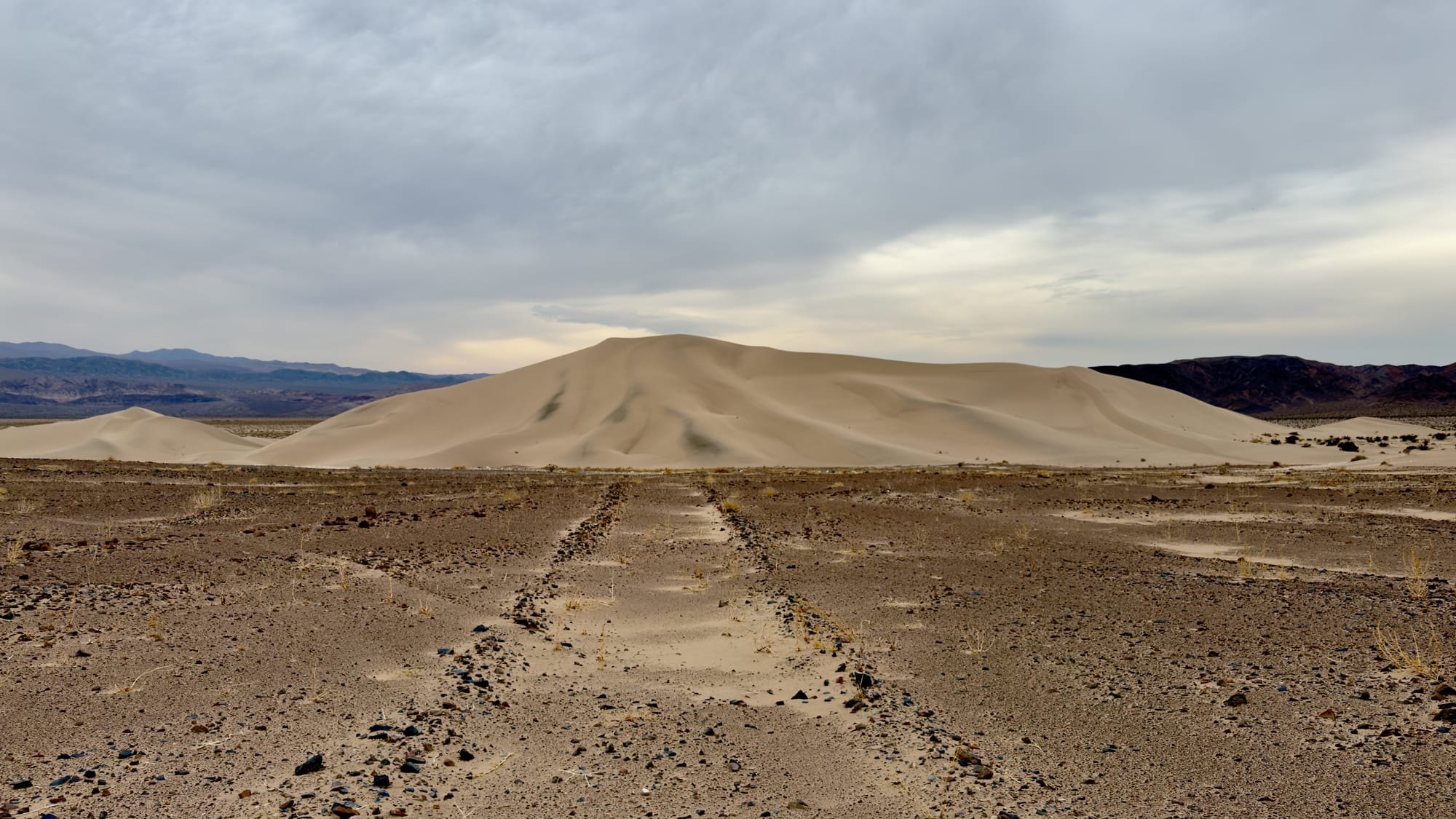
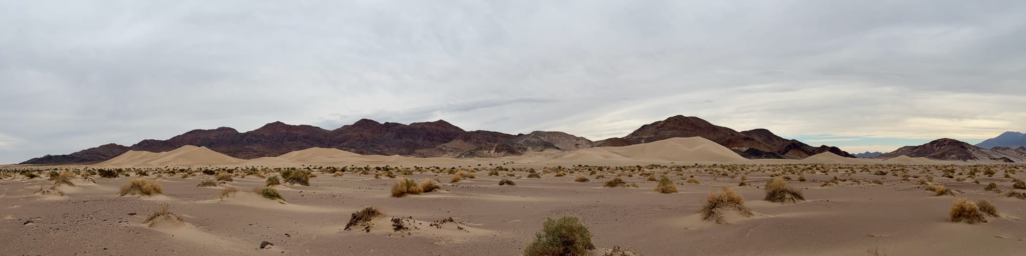
The road eventually becomes more pronounced and the view of the Ibex Dunes becomes more spectacular. There were some side roads to prospects to the north, but they appeared to mostly be bulldozer cuts and not worth the extra miles on an already long day.
There is not direct connection from the northern road and the Grimshaw Mine that we could find, so at some point you just need to turn almost due south towards the dunes, aiming roughly towards where the dunes peter out and meet the Saddle Peak Hills.
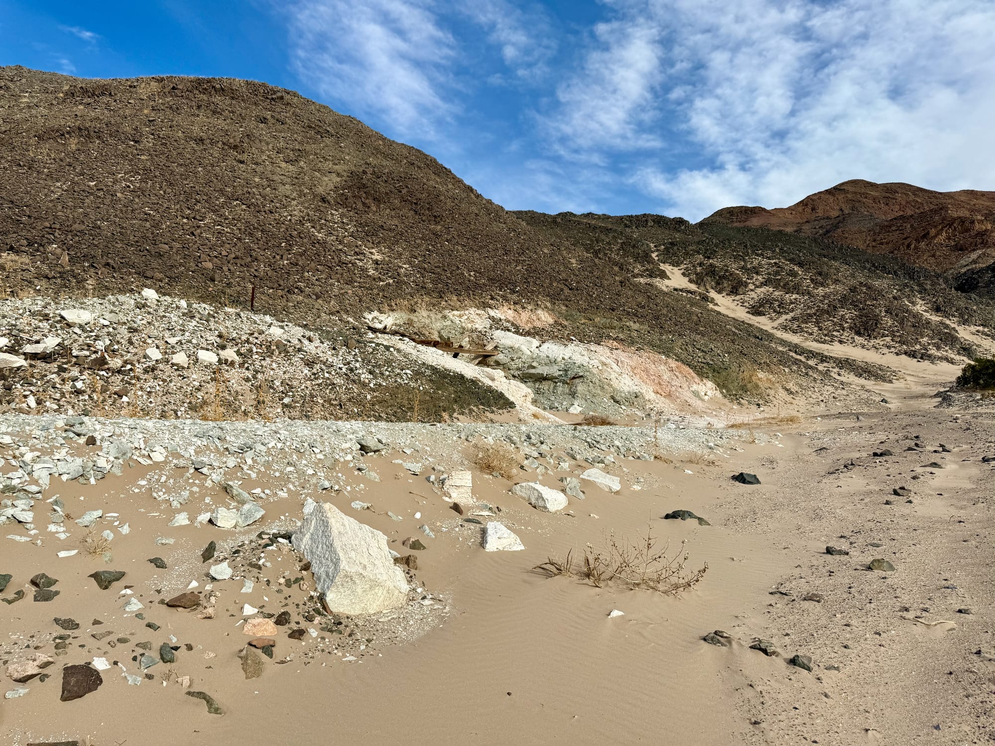
The alluvial fan here was covered in some of the most interesting rocks I've seen in Death Valley.
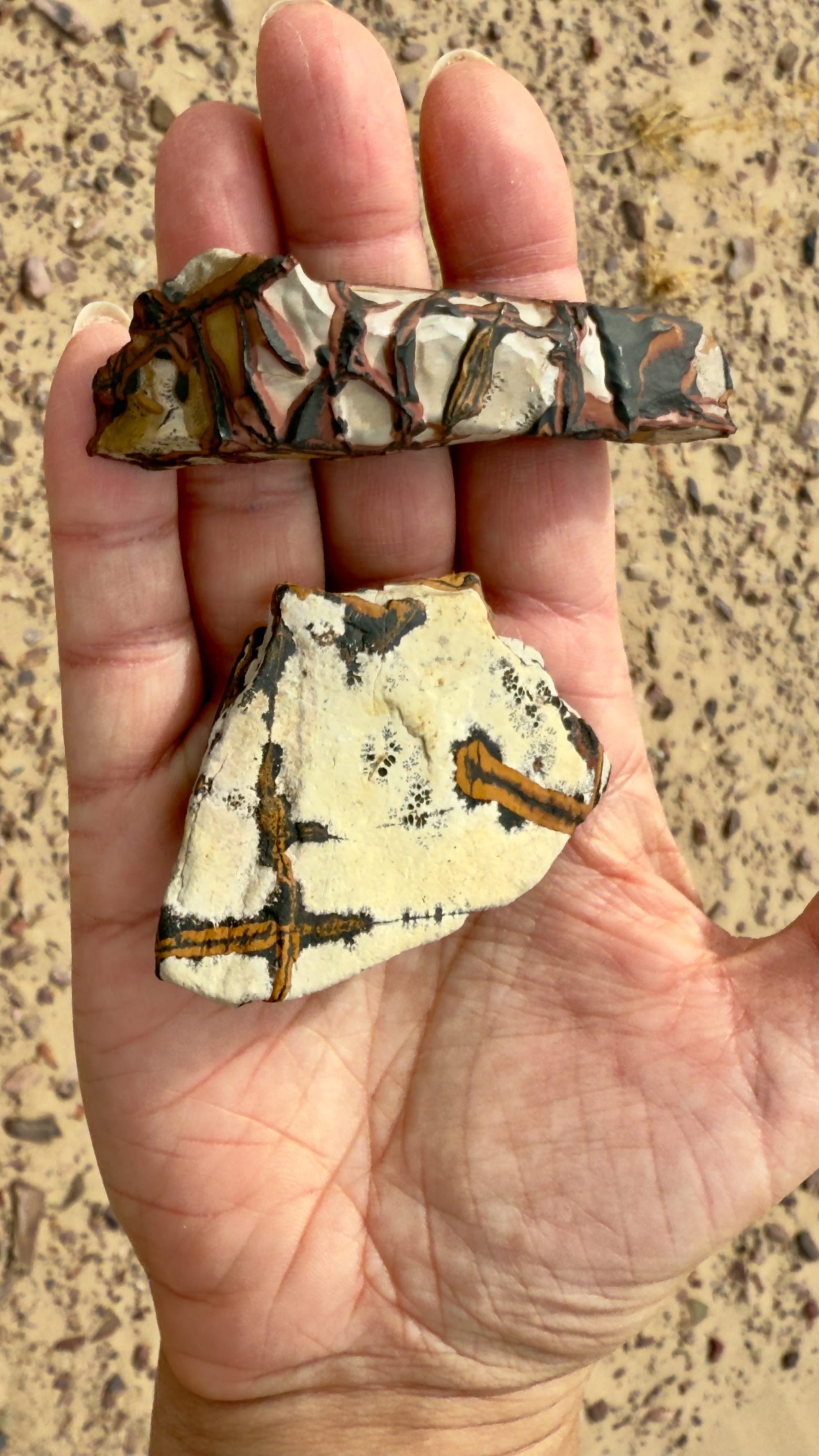
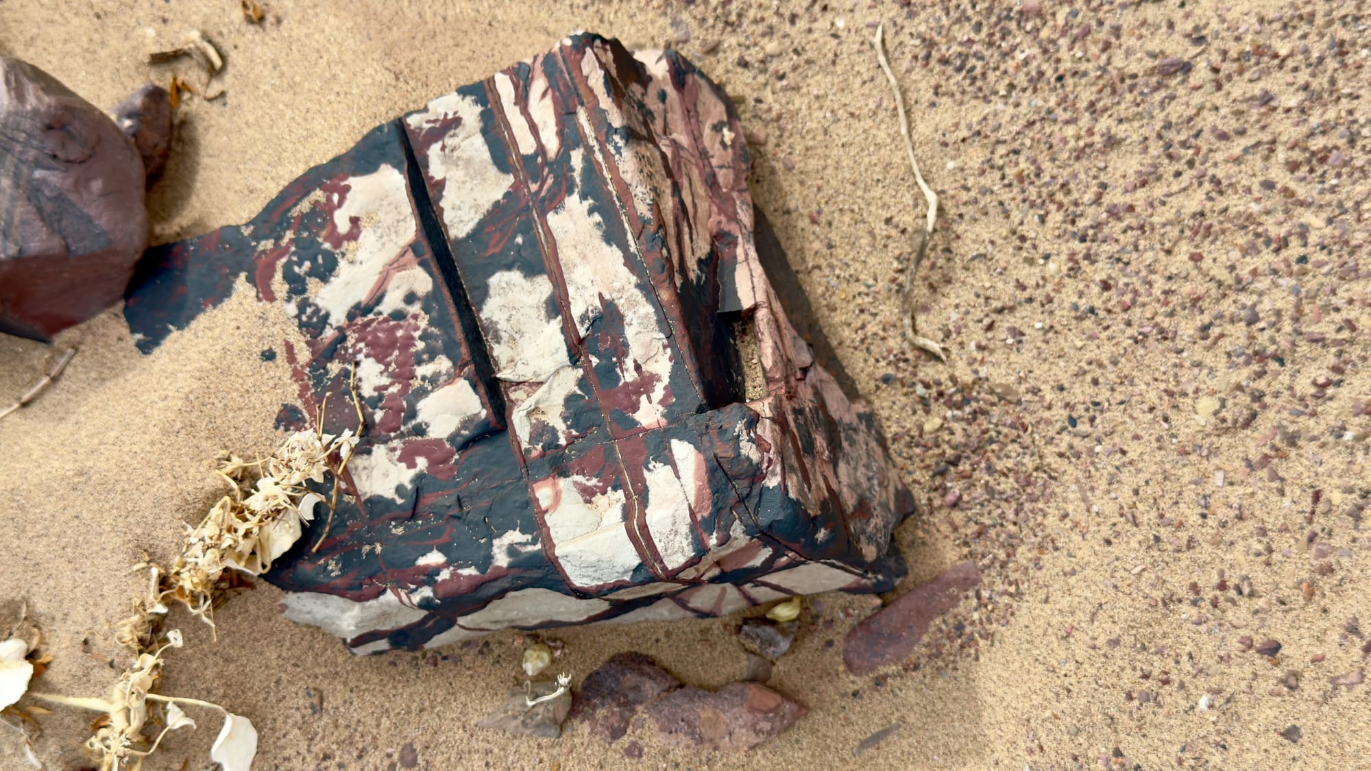
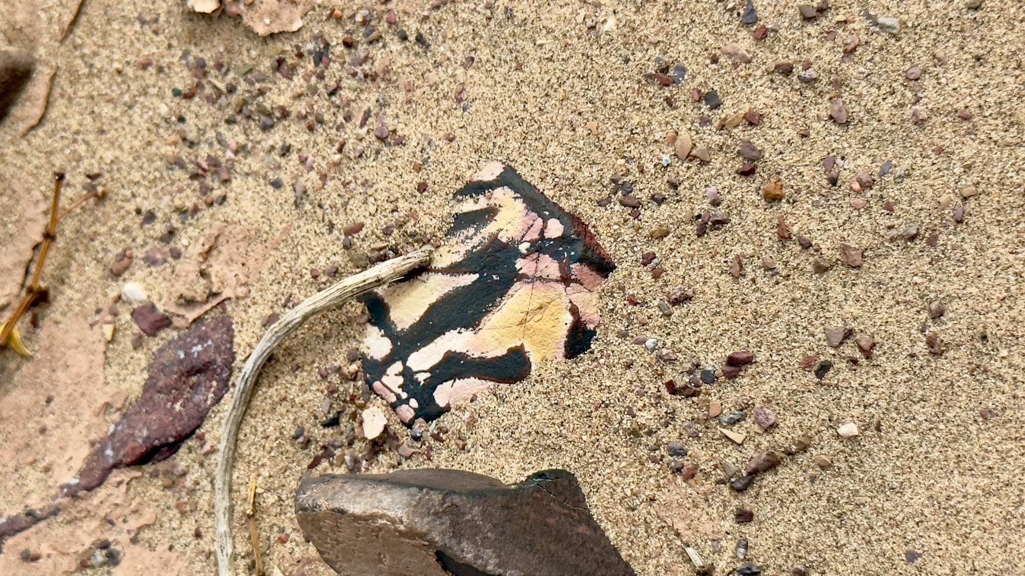
Look, pick up, admire, but don't take.
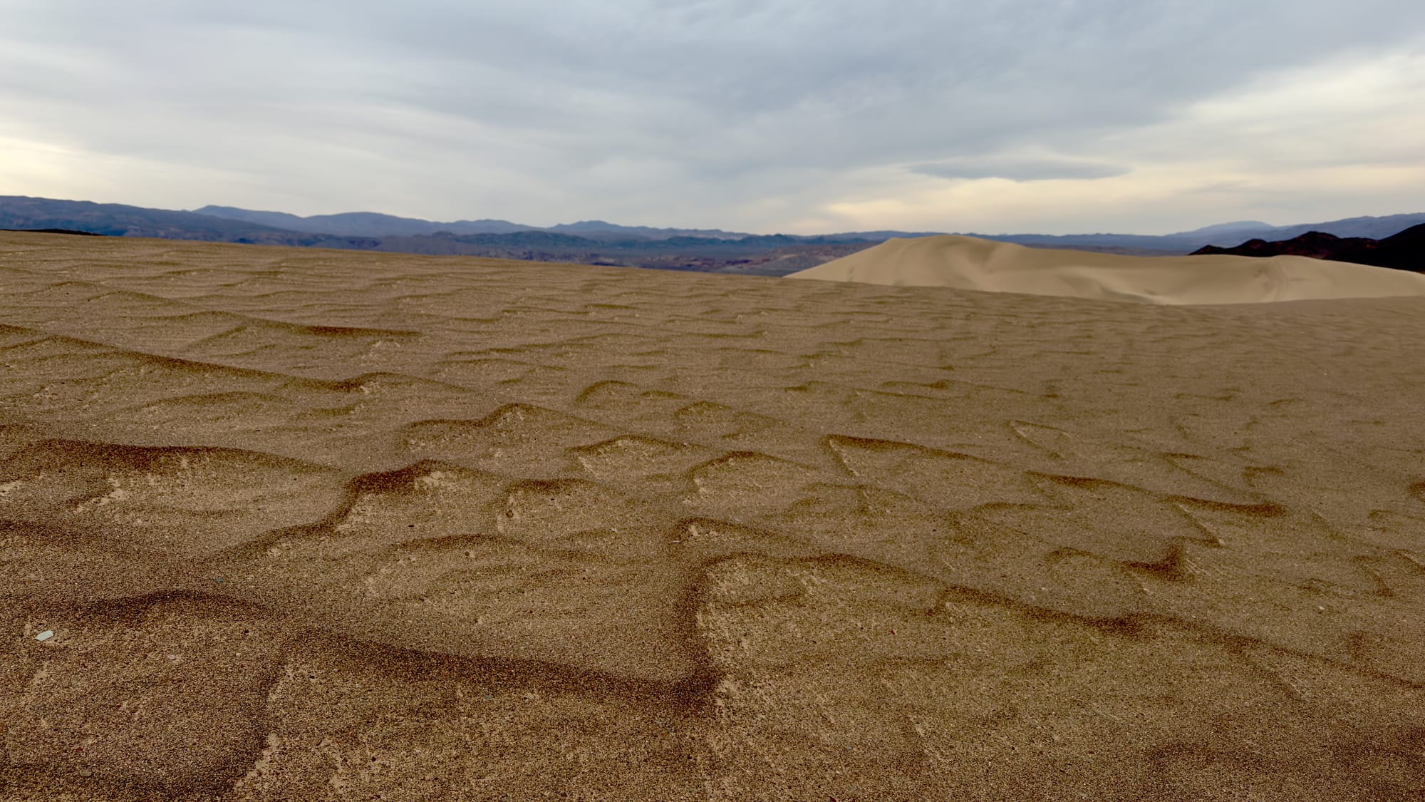
Venturing further into the dunes.
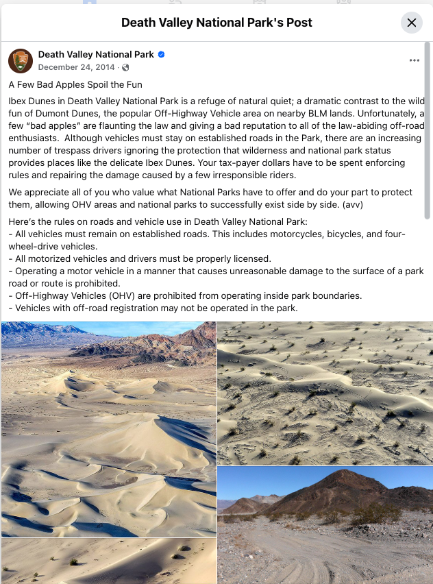
Beautiful untrammeled dunes await you. Oh except for those tire tracks. Lest you think you can drive here and leave no trace, I've included the NPS Facebook post from 2014 (11 years ago) when these tracks were first found. The desert heals slowly, please don't cut it more in areas set aside for conservation. There's plenty of BLM land around to use.
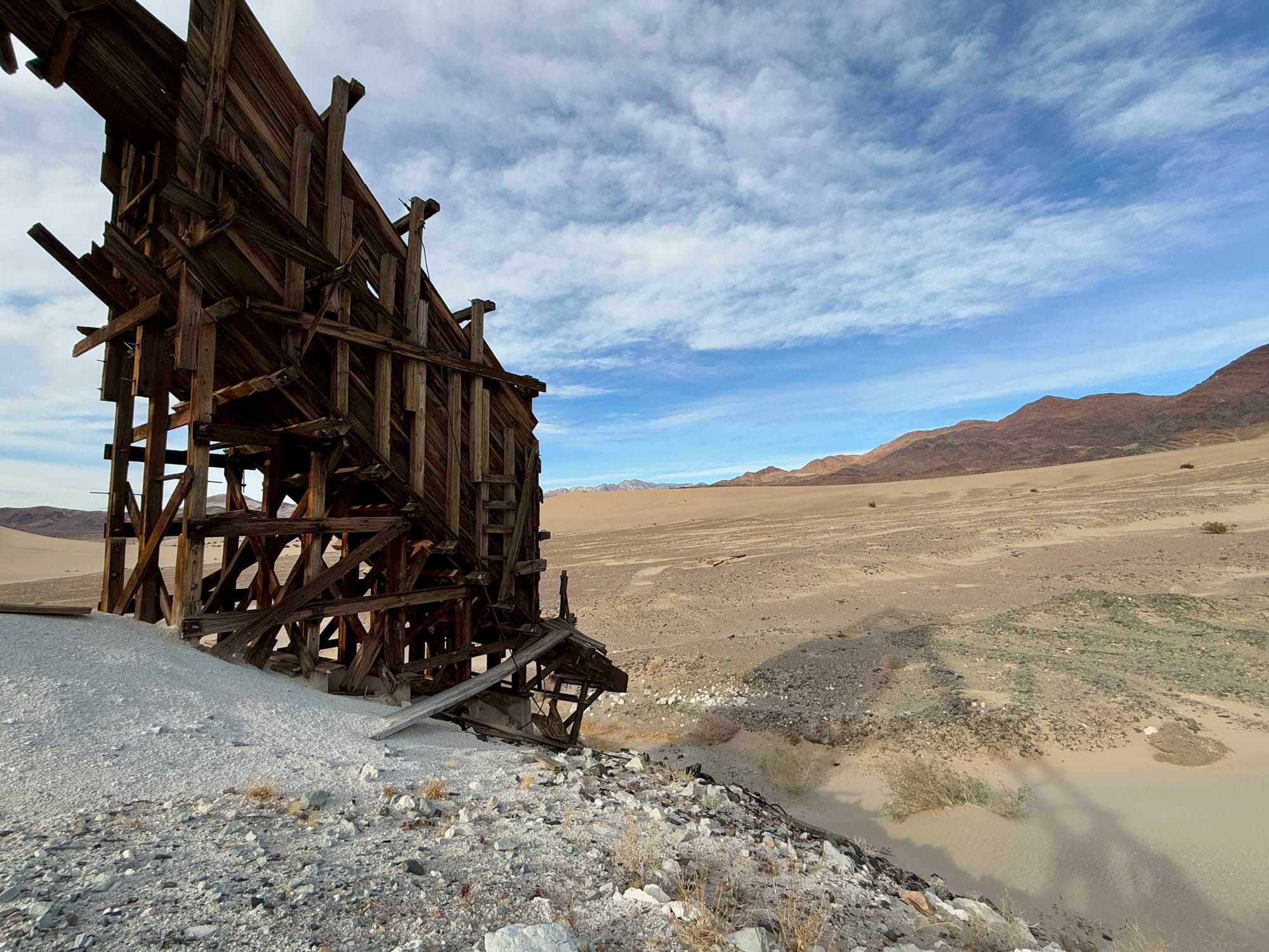
Finally, cresting one last dune arm, we found it.
The Grimshaw Mine, but this time viewed from the north. There was one problem, a mile long slipface that was 20 to 50 feet tall. The pano doesn't capture the steepness. We finally just did the old "scream and run" approach to get down it. Another D.V. BBJ claim marker awaited us at the bottom.
The way back from here to Saratoga Springs Road is to find the old Grimshaw Mine Road that cuts between the northern and southern sections of the Ibex Dunes.
Relatively easy to find the road. When the road suddenly ends at a short dune wing, go up and over. Best we can tell, when the mine was active they would have actually kept the dune plowed out here. In the right photo, you can see the road on the left and right side of that narrow spit of sand that has since filled it back in.
From here we cut directly back towards the Saratoga Springs intersection opting to cross the salt pan for part of the way. Good thing too, found a .50 cal BMG casing that had a "Lake City 1943" stamp on it. That was the first year they used the airspace over what is now the park for air-to-air and air-to-ground combat training for WW2. This shell has probably been sitting here since then. I left it where I found, if you find it, please do the same.
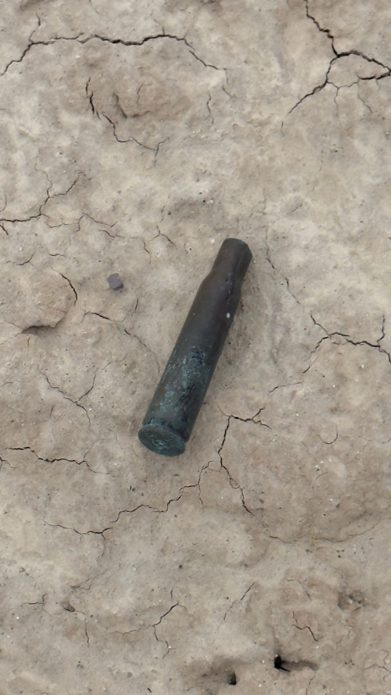

.50 cal BMG casing. LC = Lake City, 43 = 1943 manufacture date.
Thank you for reading and hopefully you'll get out here on an adventure soon too!
[1] https://grimshaworigin.org/grimshaw-immigrants-to-the-new-world/grimshaw-lake-inyo-county-ca/