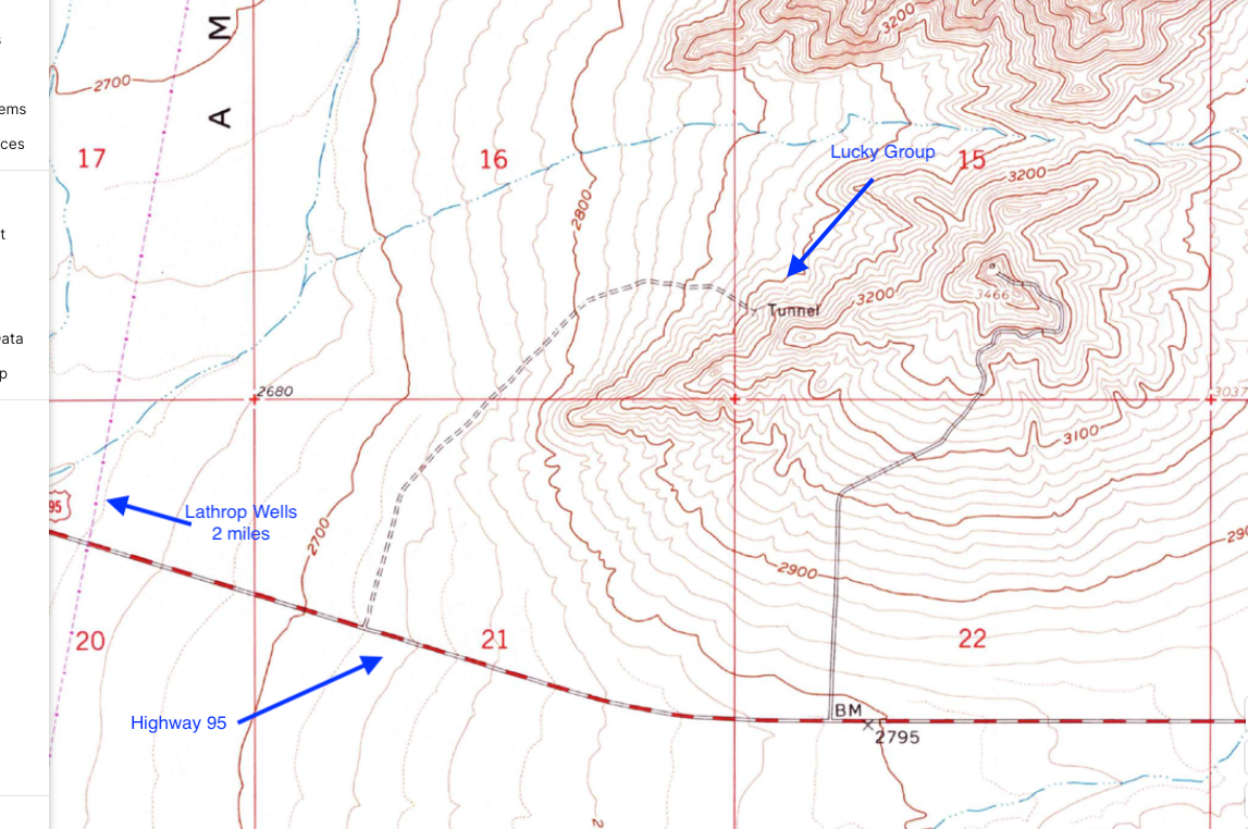
Lucky Group, Lathrop Wells, Nevada

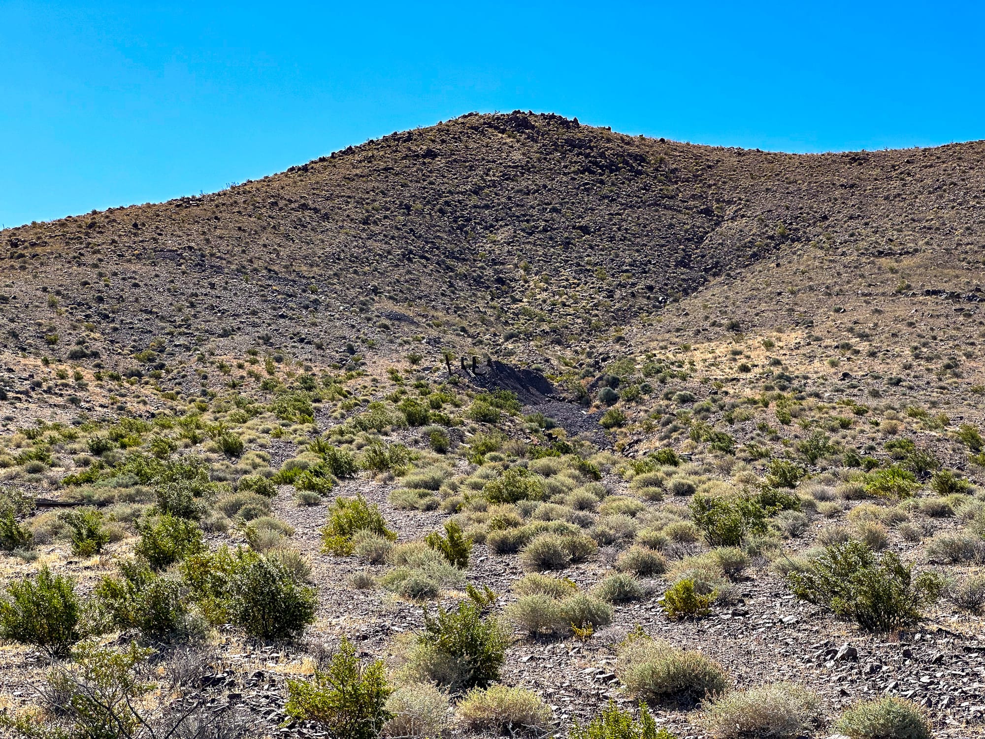
The Lucky Group mine (also known as Looney Copper and the Lucky Claim), is a minor occurrence of copper located in Nye County, Nevada approximately 5 miles southeast of Lathrop Wells in the Striped Hills. Positioned at geographic coordinates -116.34754, 36.64386 (PLSS Mount Diablo Meridian, Township 15S, Range 50E, Section 15, NW4 of SW4 of SW4).
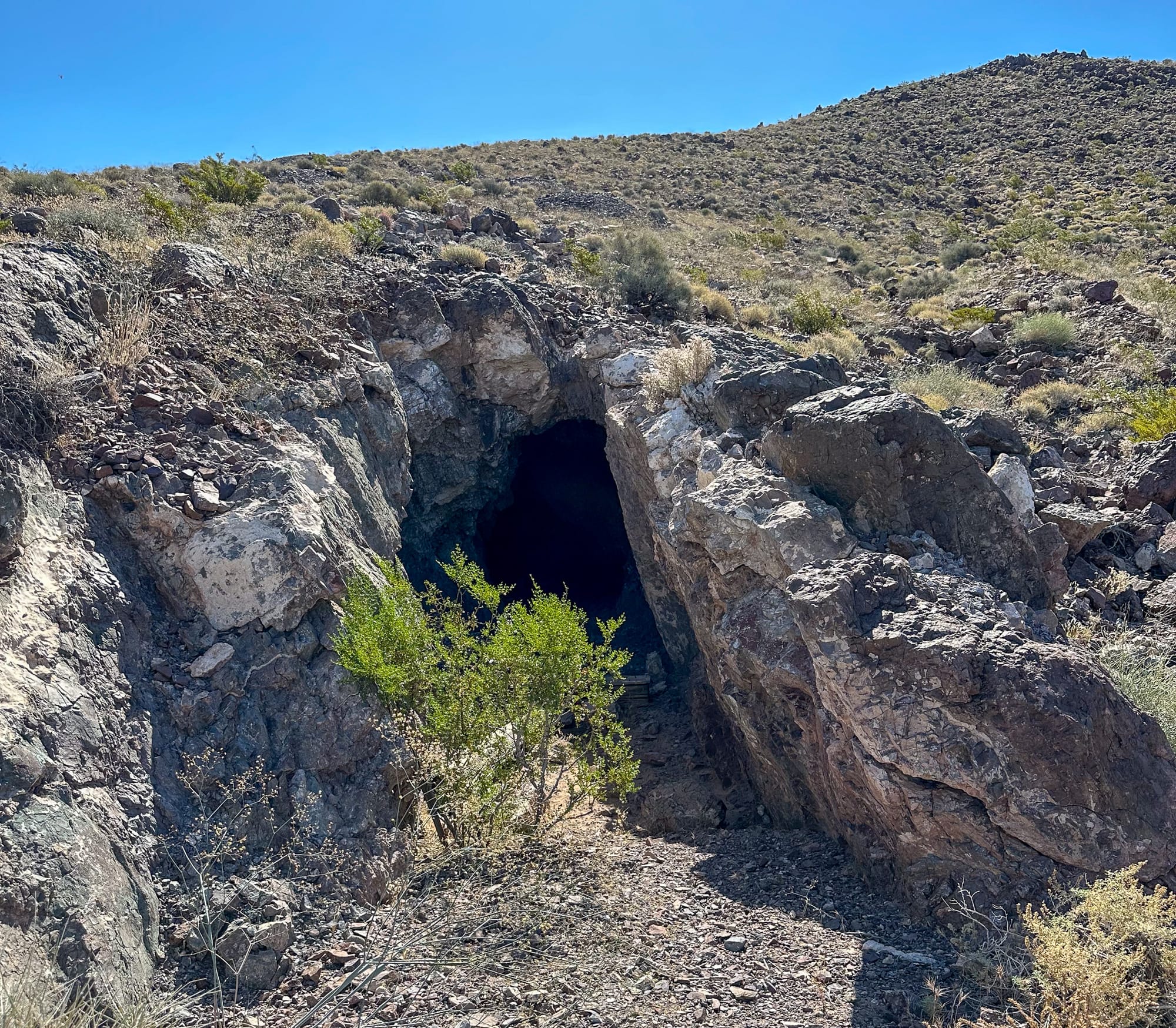
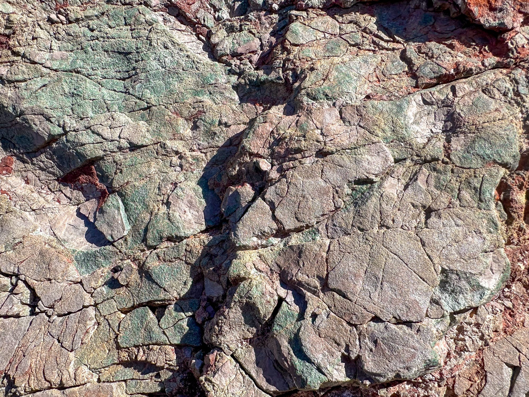
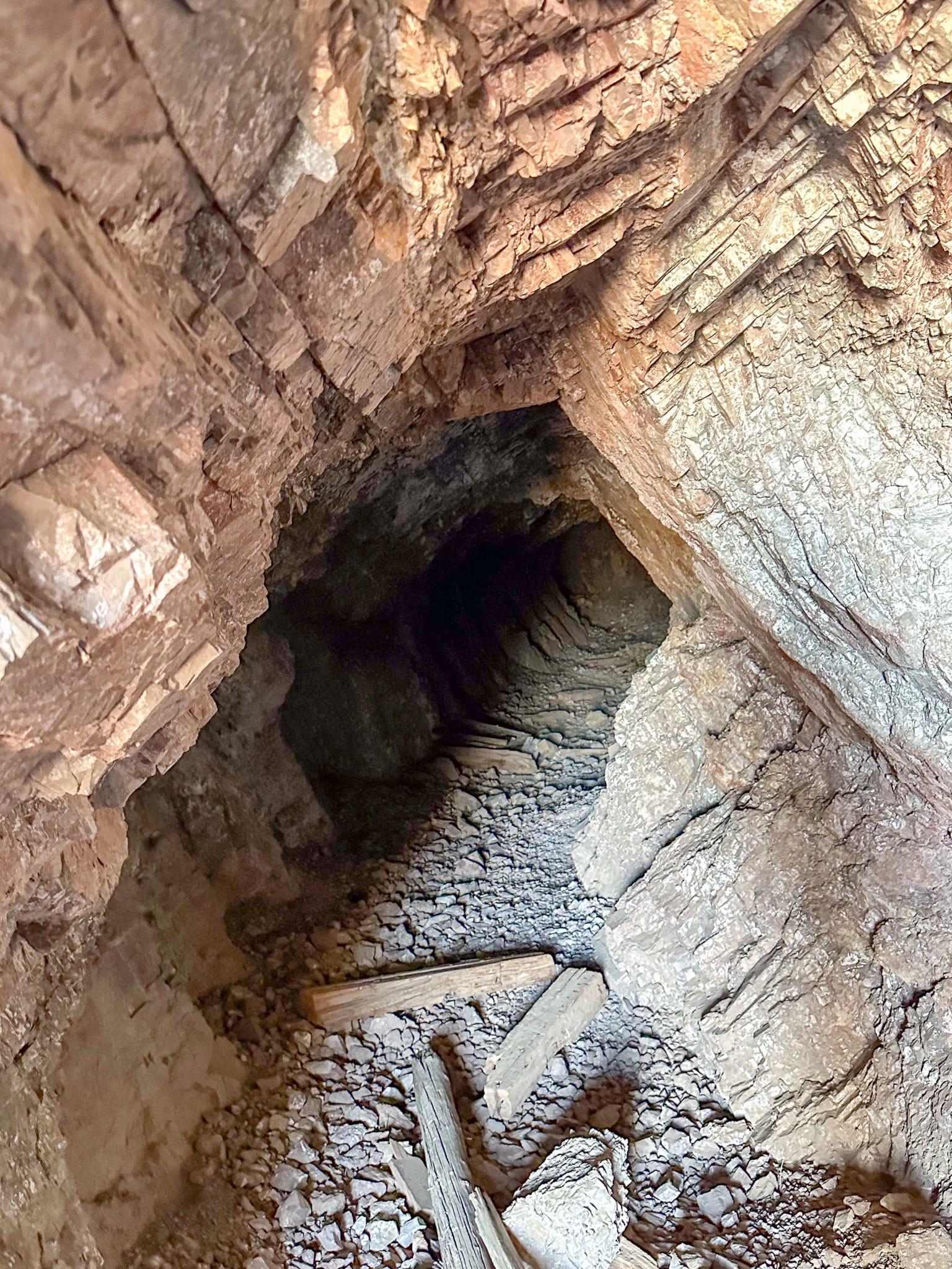
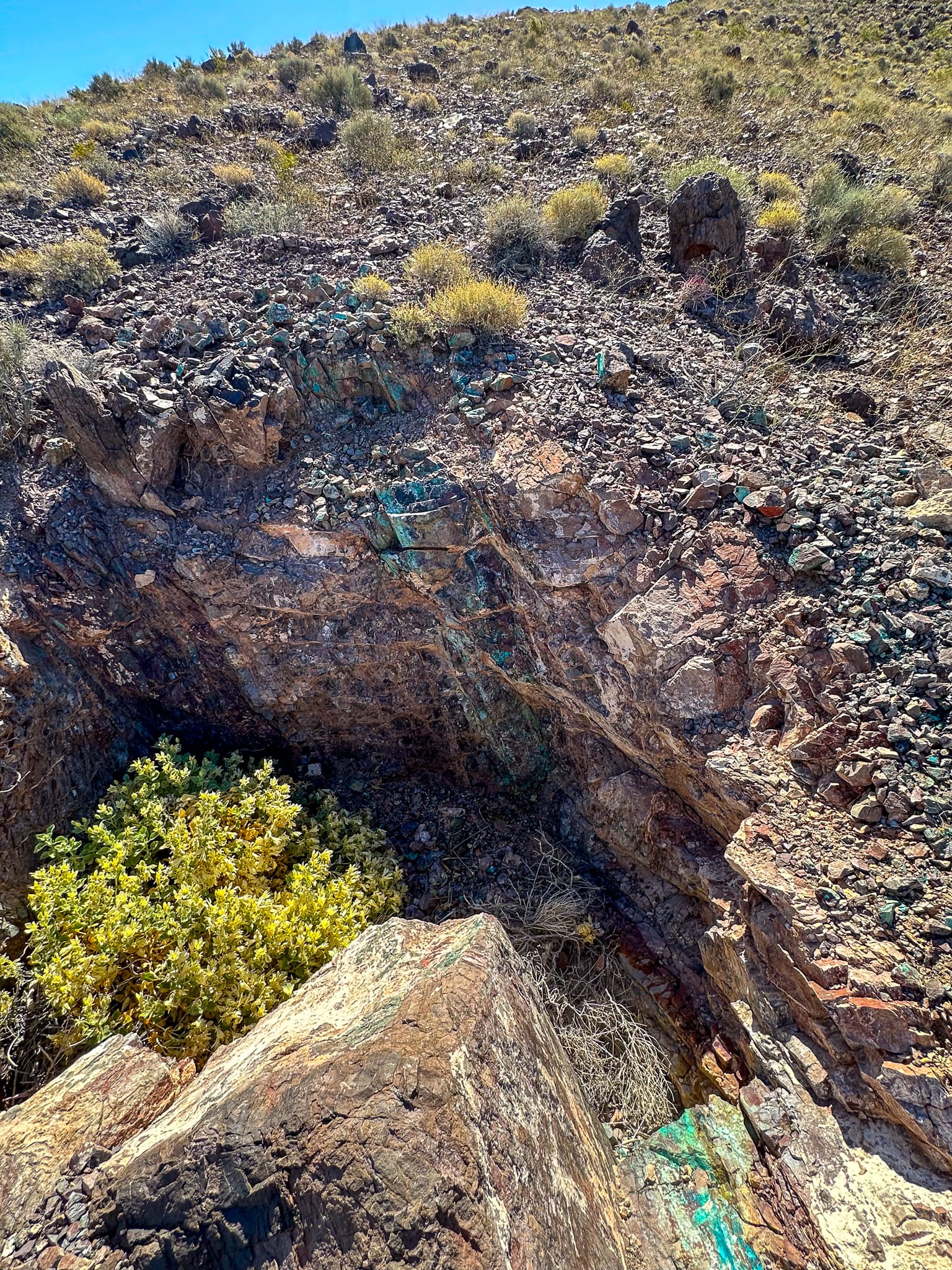
The economic potential of the Lucky Group mine is classified as small, with the site marked as non-significant by the MRDS. Malachite is the primary ore material found here, with hematite as the gangue mineral, indicating significant copper deposits. Workings include 100 foot adit on the 3,000' contour line and 4 prospect pits each about 50' higher than the previous. Research indicates the claims were first filed by Claude Looney in 1946 and that a trial shipment of ore was made between then and 1950. There were no indications of ore processing on site.
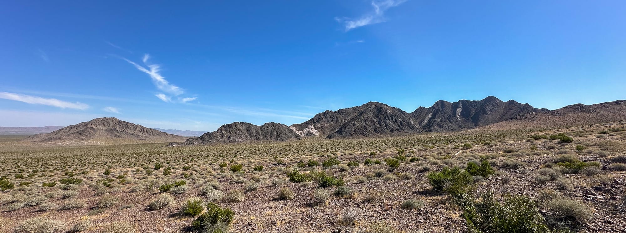
Geologically, the Lucky Group is hosted within the Wood Canyon formation, a Late Cambrian (570ish million years old) quartzite that is slightly calcareous and highly fractured with minor banding. This formation also includes minor amounts of conglomerate, phyllitic siltstone, limestone, and dolomite, indicative of the complex geologic history of the area. The site's quartzite is intersected by a set of parallel N80E, 75N faults, forming a 2-foot shear zone, which has contributed to the formation's mineralization.
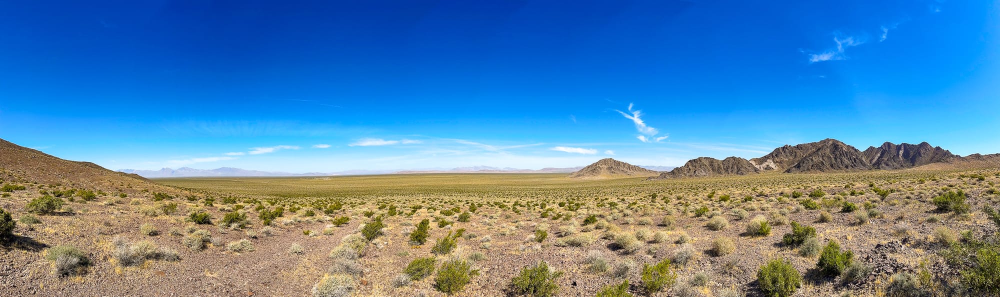
The Lucky Group mine falls within the Upper Amargosa watershed, part of the Northern Mojave hydrologic subregion. It is mapped within several USGS quadrangles, including Striped Hills, Beatty, and Death Valley, further situating it within a broader geological and hydrological context.
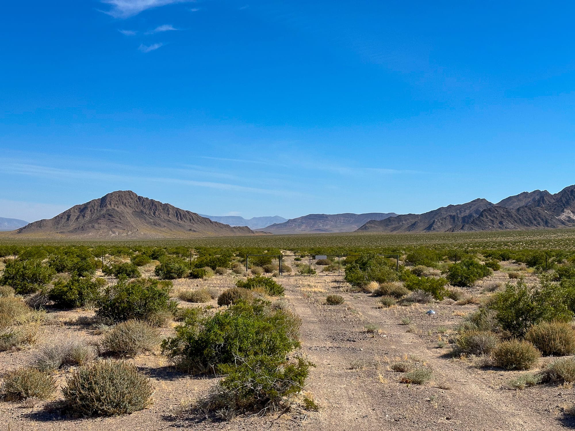
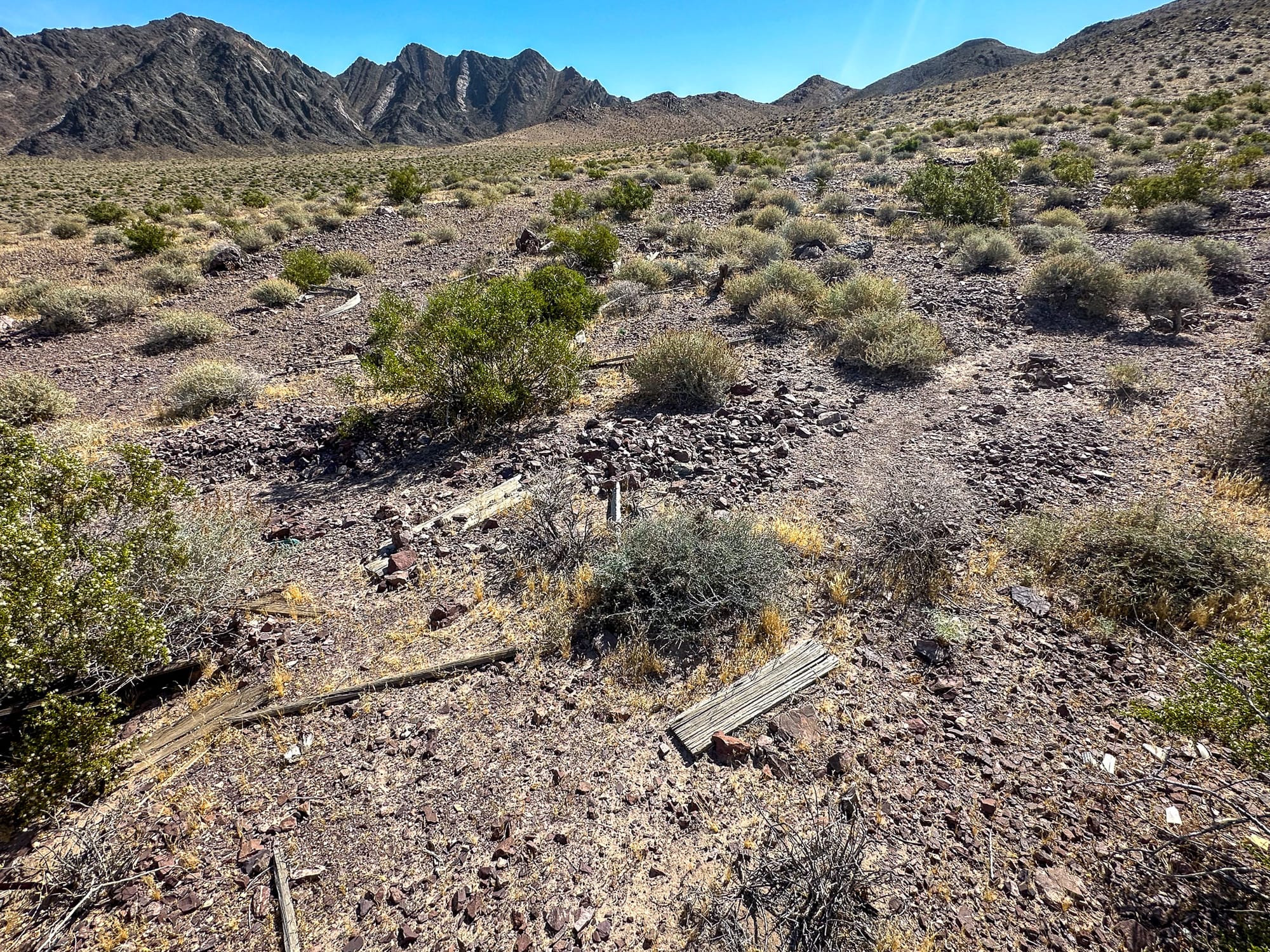
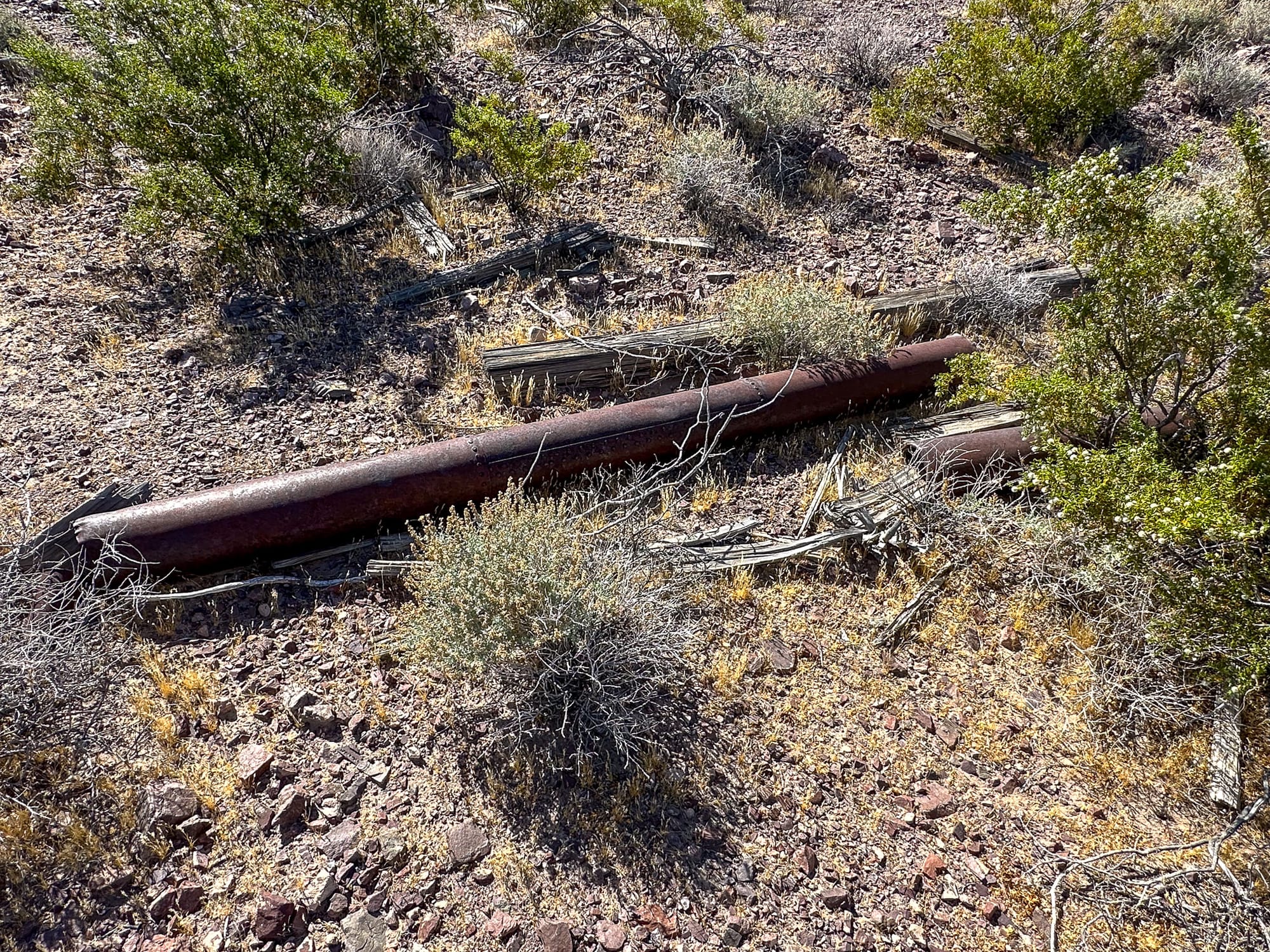
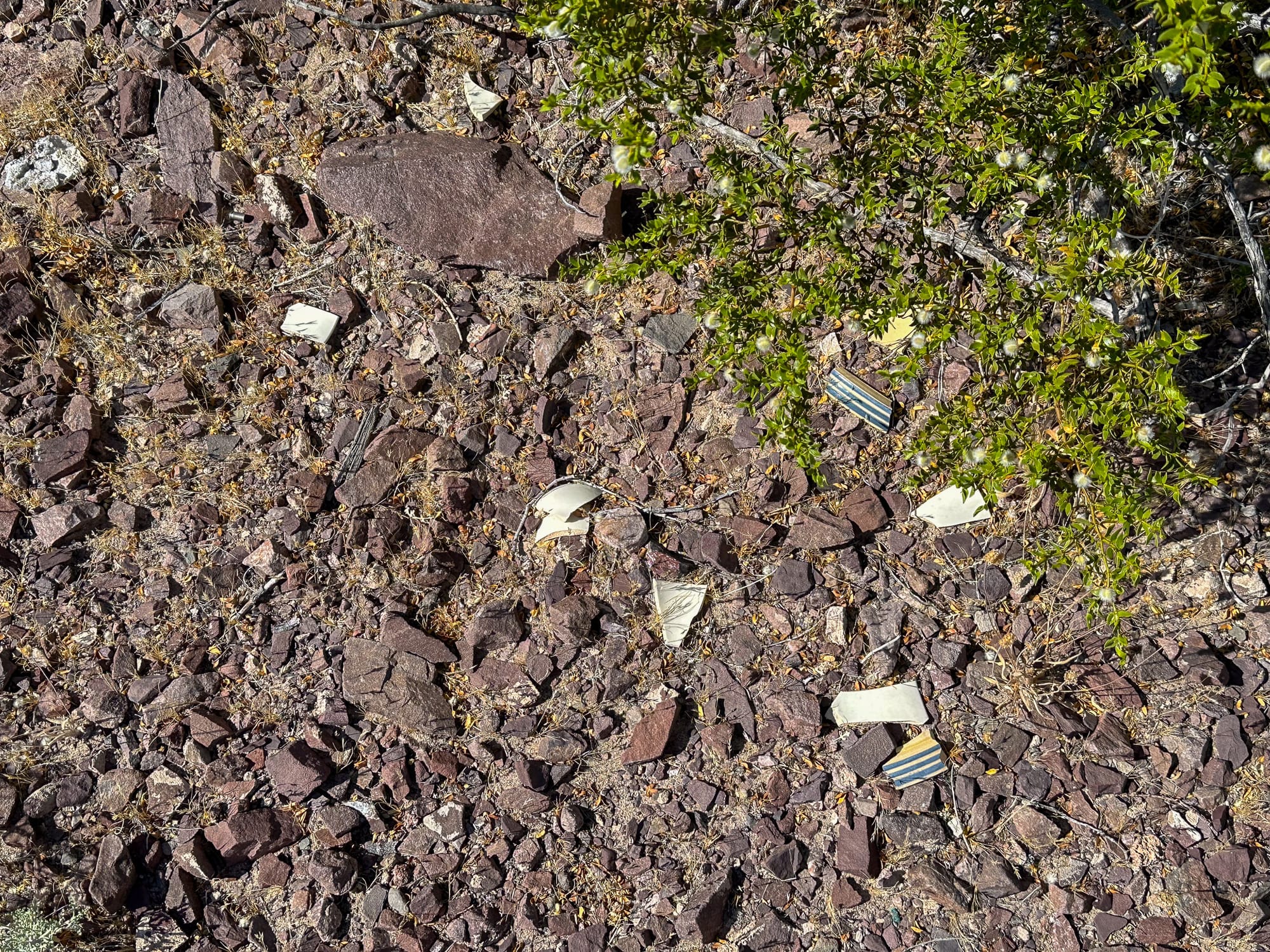
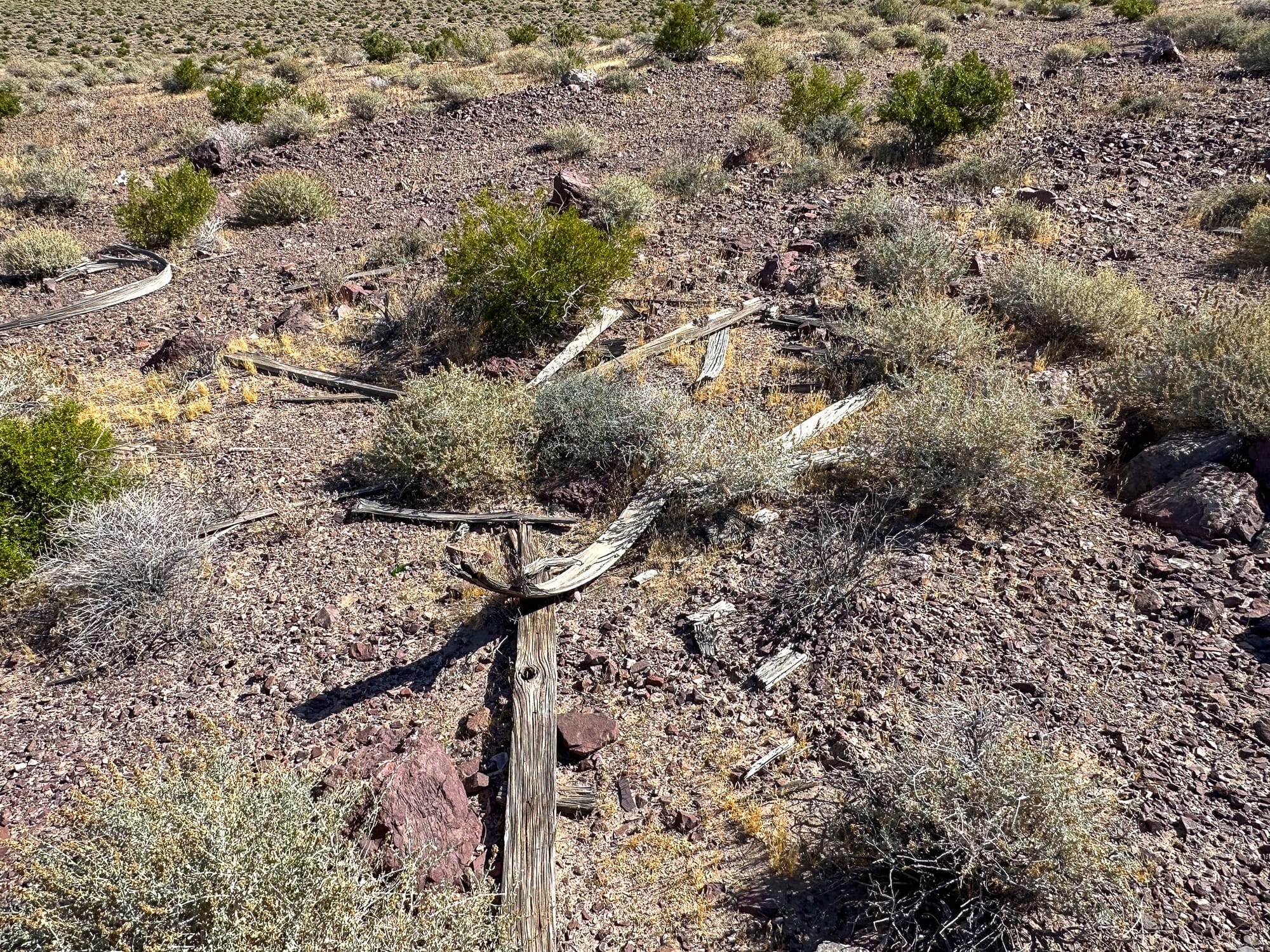
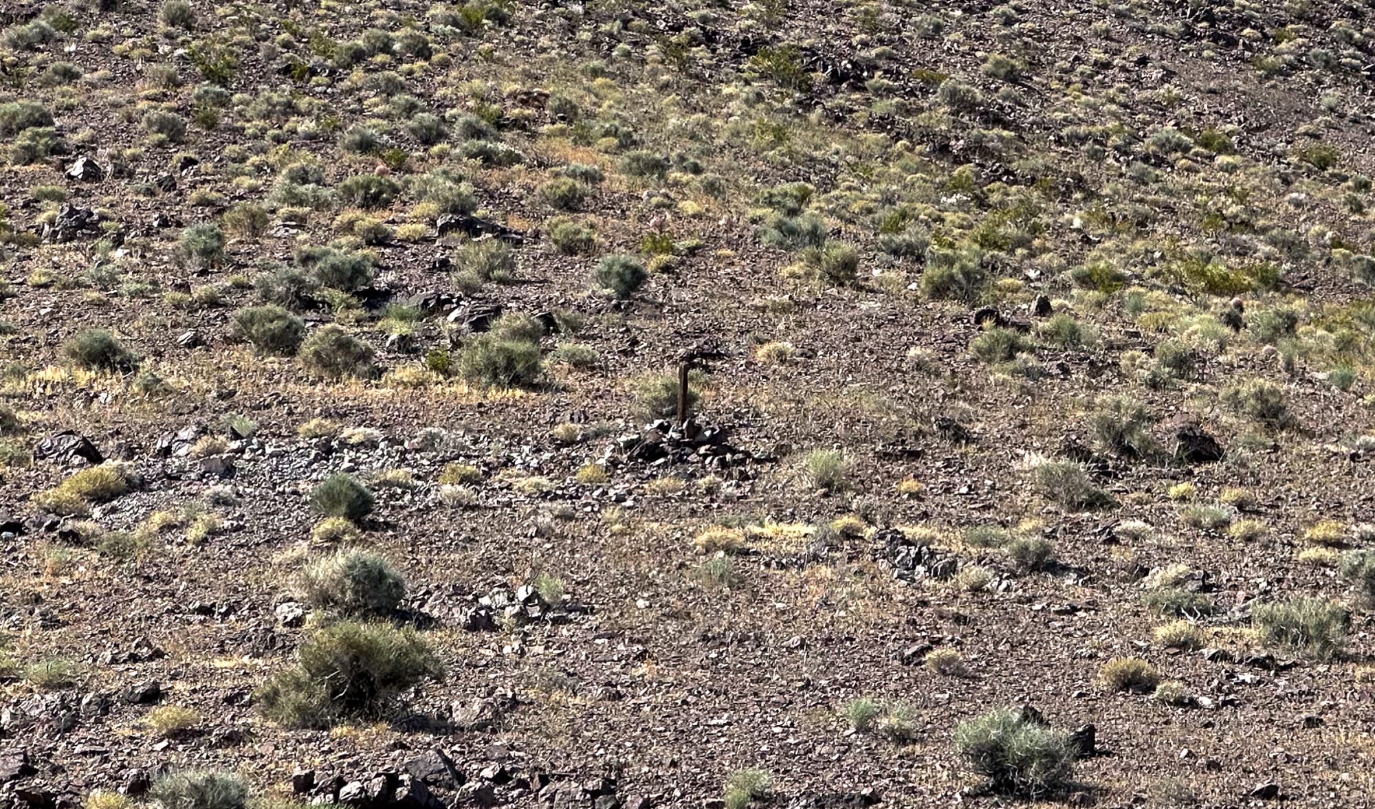
Remnants of old structures and human use are scattered along the road just below the workings.
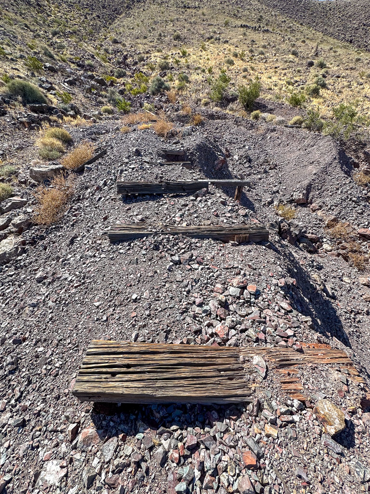
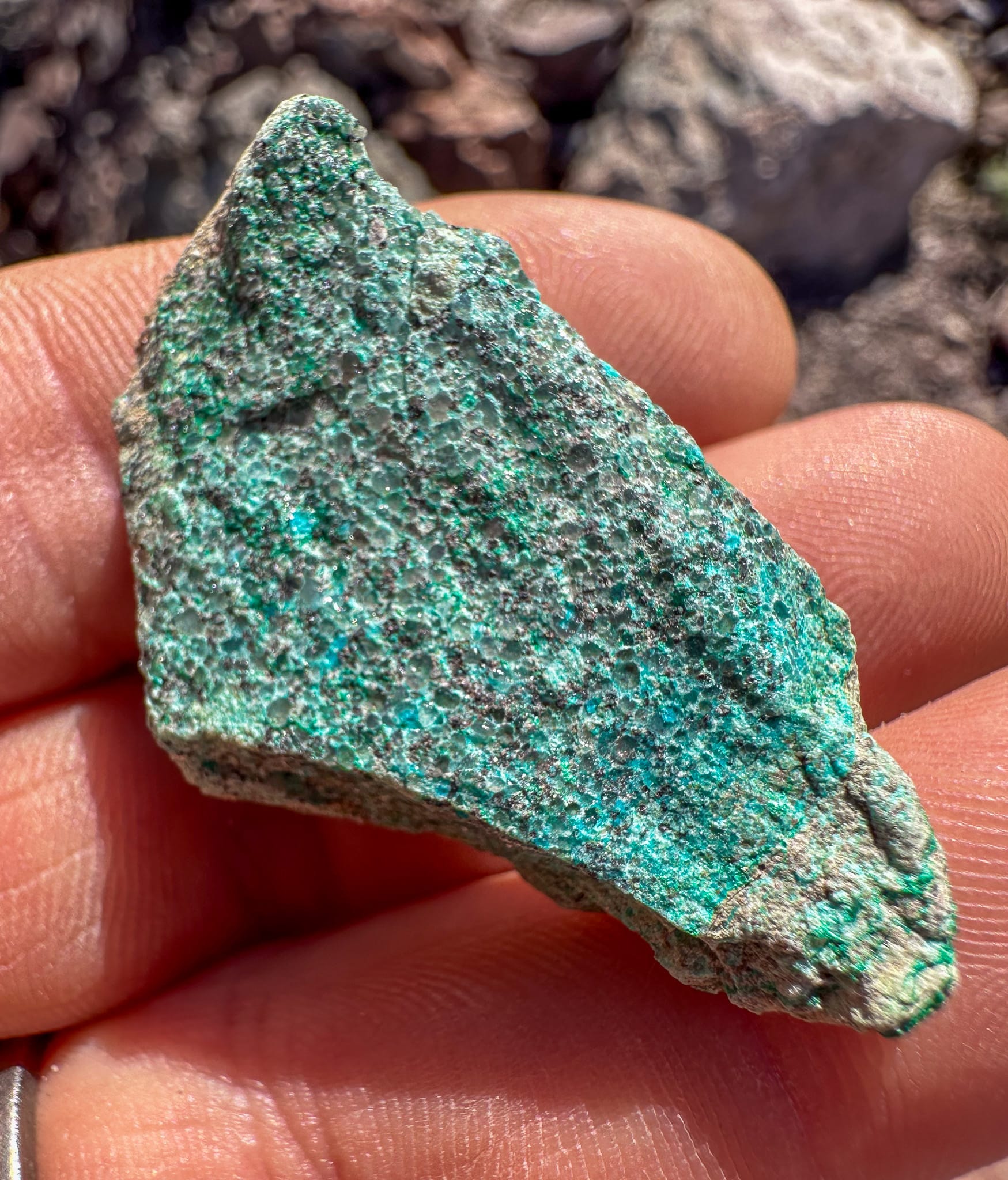
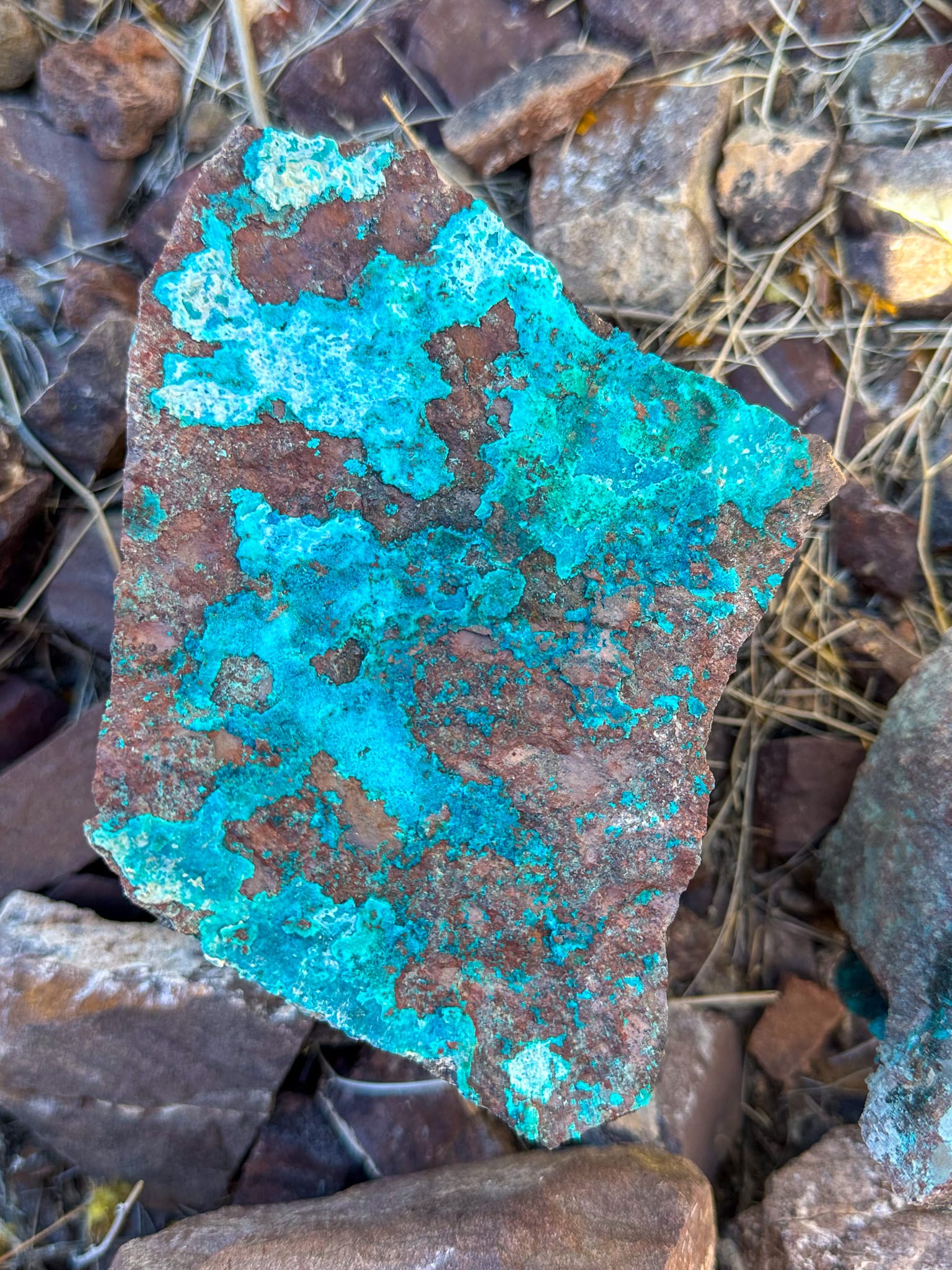
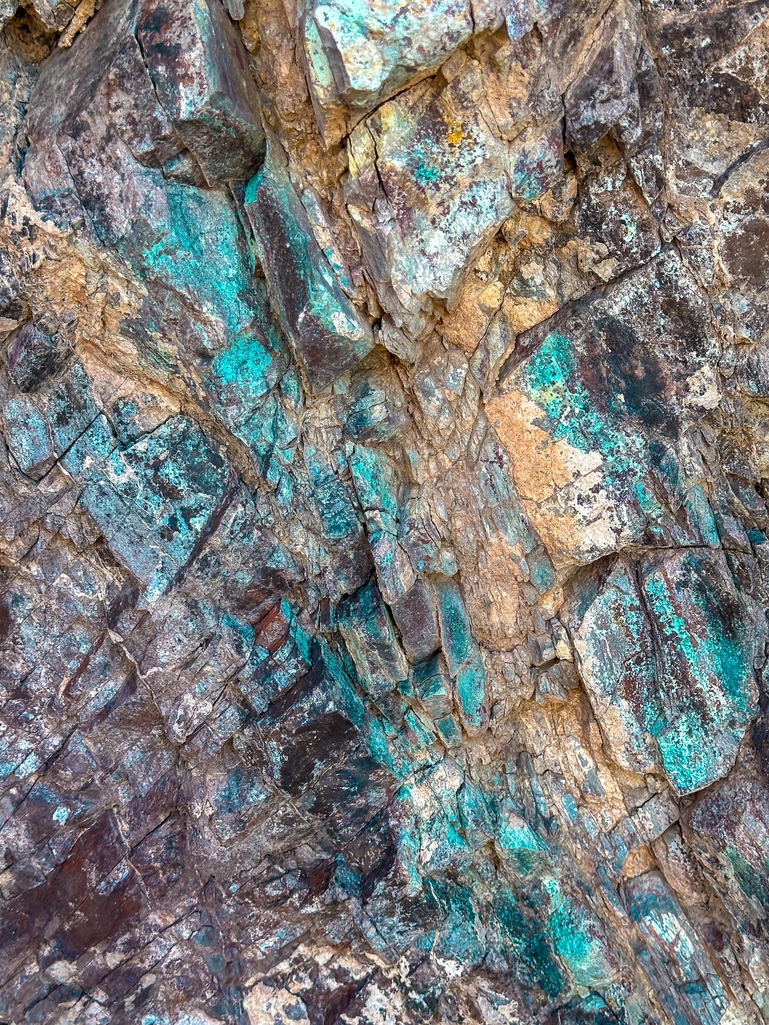
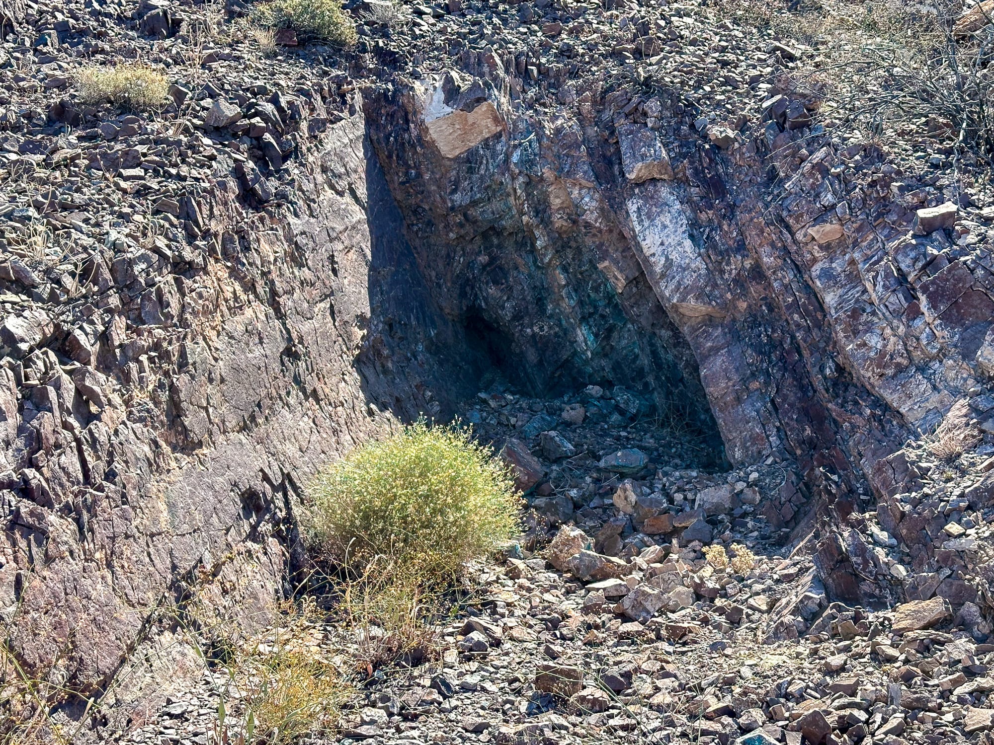
The first of the four prospect pits showed good color on the back wall. The adit is approximately 50 vertical feet below here so you can get a sense of the dip of the vein. The next two prospect pits were roughly the same, but the fourth was a treat.
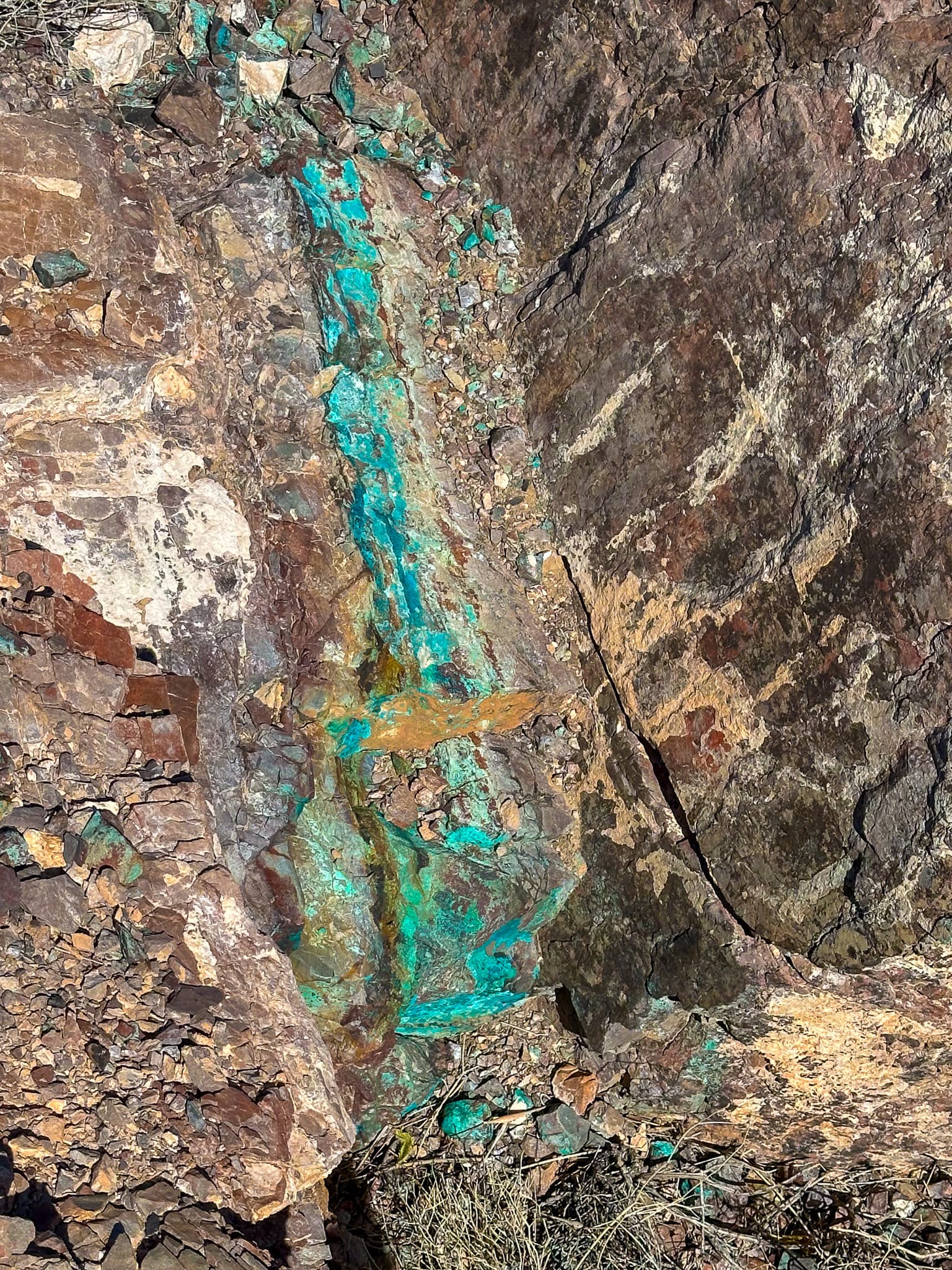
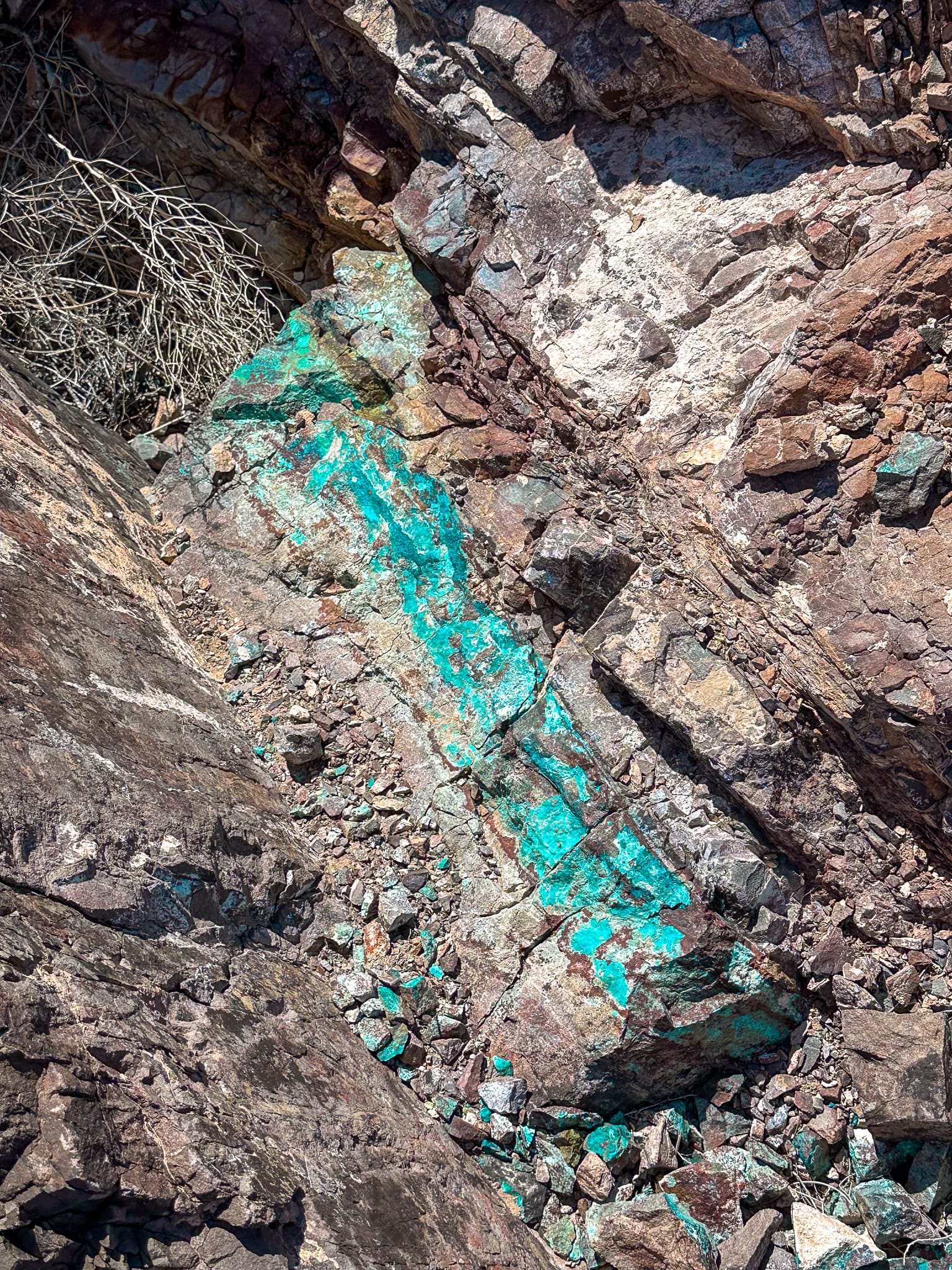
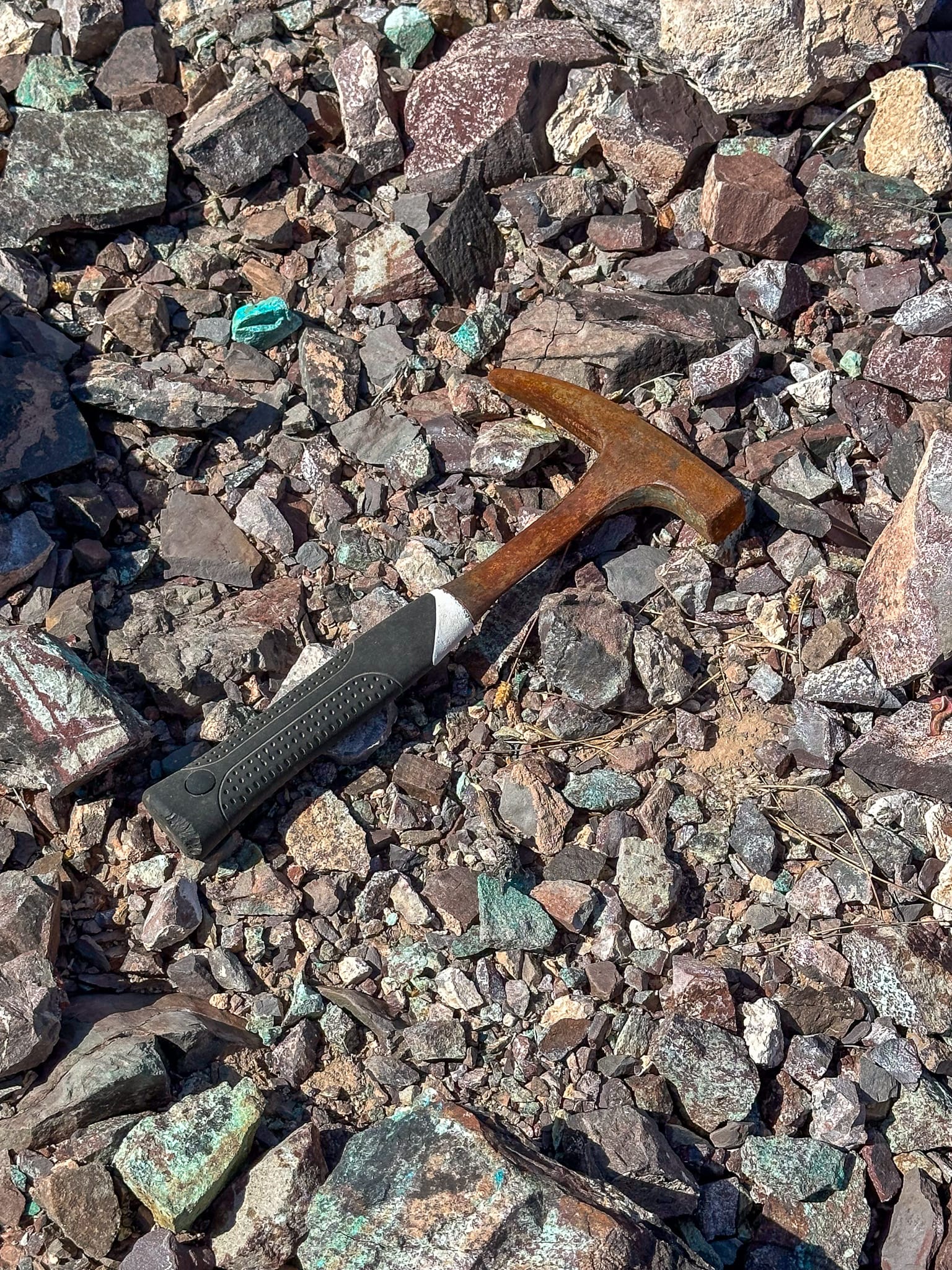
The topmost (200 vertical feet above the adit) prospect pit showed a great example of veining with deep blues-greens of copper stain on malachite. A long forgotten rock hammer shows we aren't the first people to visit this minor copper deposit looking for pretty blue rocks.
https://mrdata.usgs.gov/mrds/show-mrds.php?dep_id=10098599
https://mrdata.usgs.gov/mrds/show-mrds.php?dep_id=10198588
Cornwall, H.R., 1972, Geology AND Mineral Deposits of Southern Nye Co.: NBMG Bull. 77, PL. 1.