Peak 5940 Black Mountains and USLM 120, Death Valley
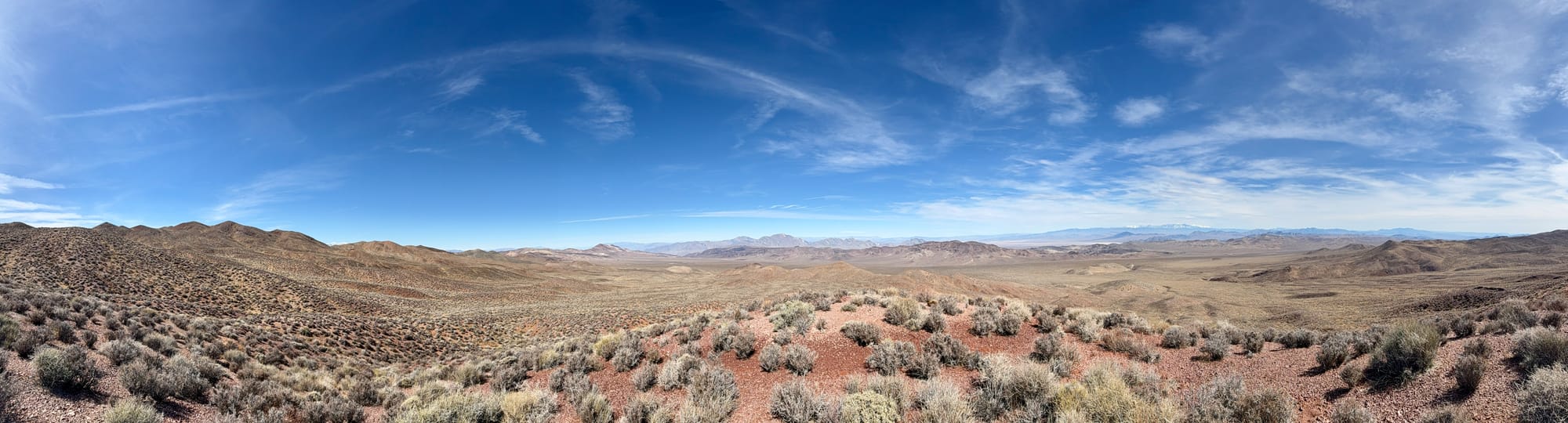
The Greenwater Valley and former boom town of Greenwater are among our favorite Death Valley regions. We've been meaning to explore more of the Black Mountains from the Greenwater Valley so today we decided to do a little hike off Kunze Road and find US Location Monument 120 and then do nearby Peak 5940.
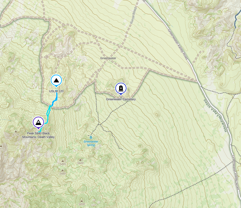
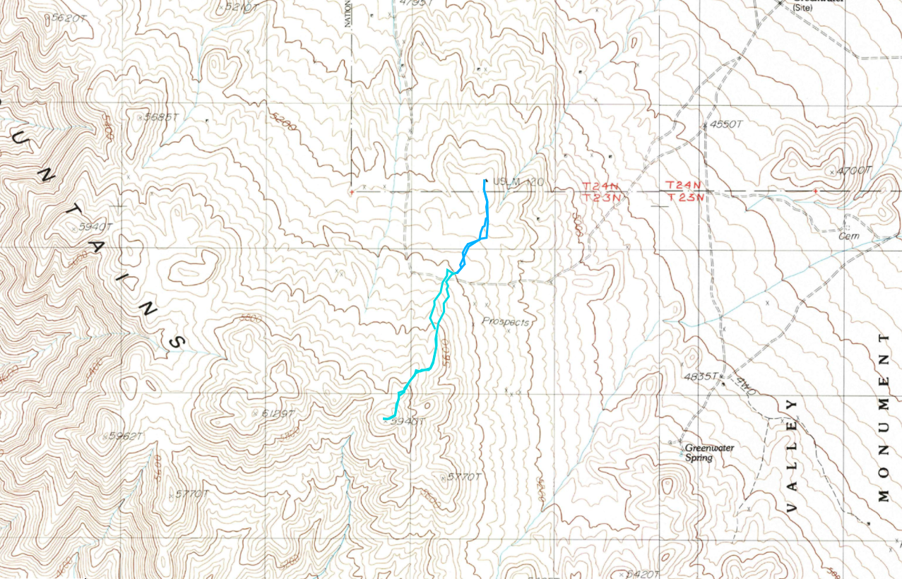
Left: General map to show where we hiked. The spot where the dark blue and light blue lines meet is where the parking area is.
First Stop: US Location Monument 120
A US Location Monument (USLM) is a survey control marker established by the U.S. government, primarily used for land surveying, geodetic mapping, and precise geographic positioning. These monuments are typically made of metal or concrete, though on this hike we find a stone one, and serve as fixed reference points for legal land descriptions, property boundaries, and geographic data collection.
In mining areas, like Greenwater, USLMs played a critical role in defining claims, ensuring accurate mapping of mineral deposits, and preventing disputes over land ownership. During the height of mining booms in the western United States, these monuments were essential for delineating federal land from private claims and guiding exploration activities. Today, many USLMs remain in historic mining districts, serving as relics of the era when accurate surveying was vital for the rapid expansion of mining operations.
We got a late start today and rolled onto Greenwater Valley Road around 10:30a and took a brief stop to air down. After 20ish miles we turned left on Furnace Connector Road for 2 1/2 miles then another left onto Kunze Road for another 2 miles to a saddle with a broad parking area at 5,400'.
From here, we hiked north-northeast following the least stabby path across the very red pebbles that are common in this area of the Blacks. Following the easiest ridge we could find we stumbled across some old prospects, some showing copper, before arriving at USLM 120.
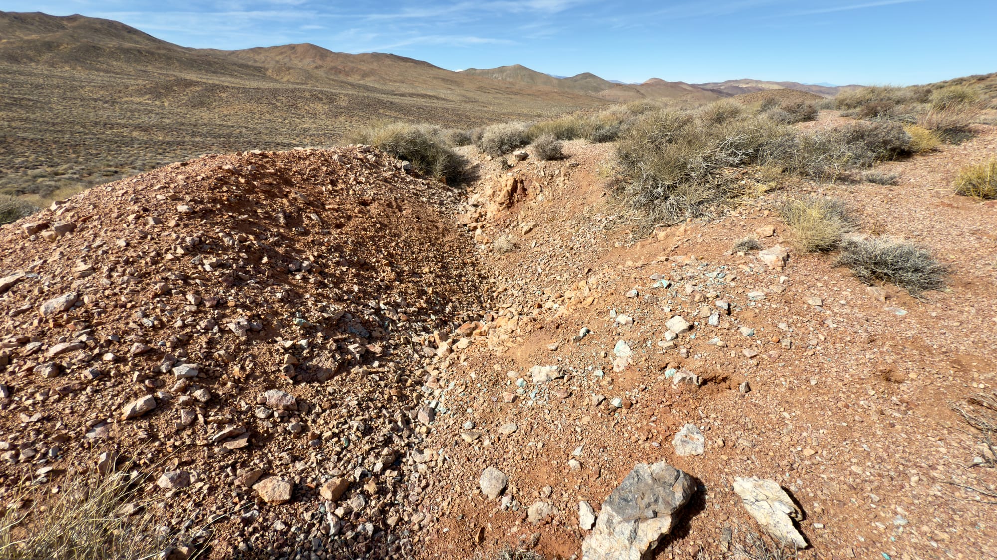
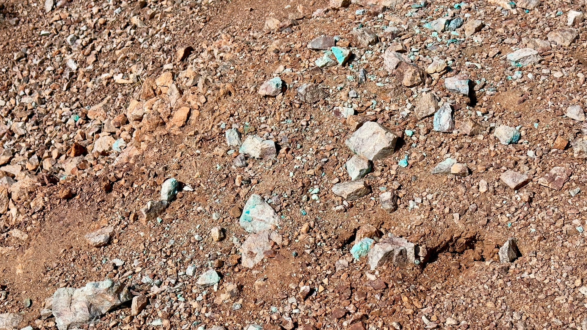
Old prospect on the way to USLM 120. There is a bit of copper ore (greenish-blue rocks) showing in the pile. (Remember, you can't take rocks from National Parks)
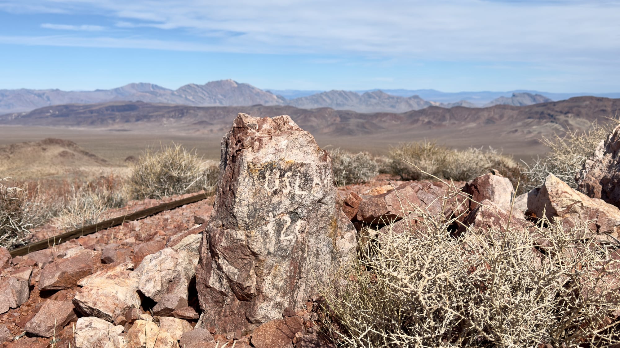
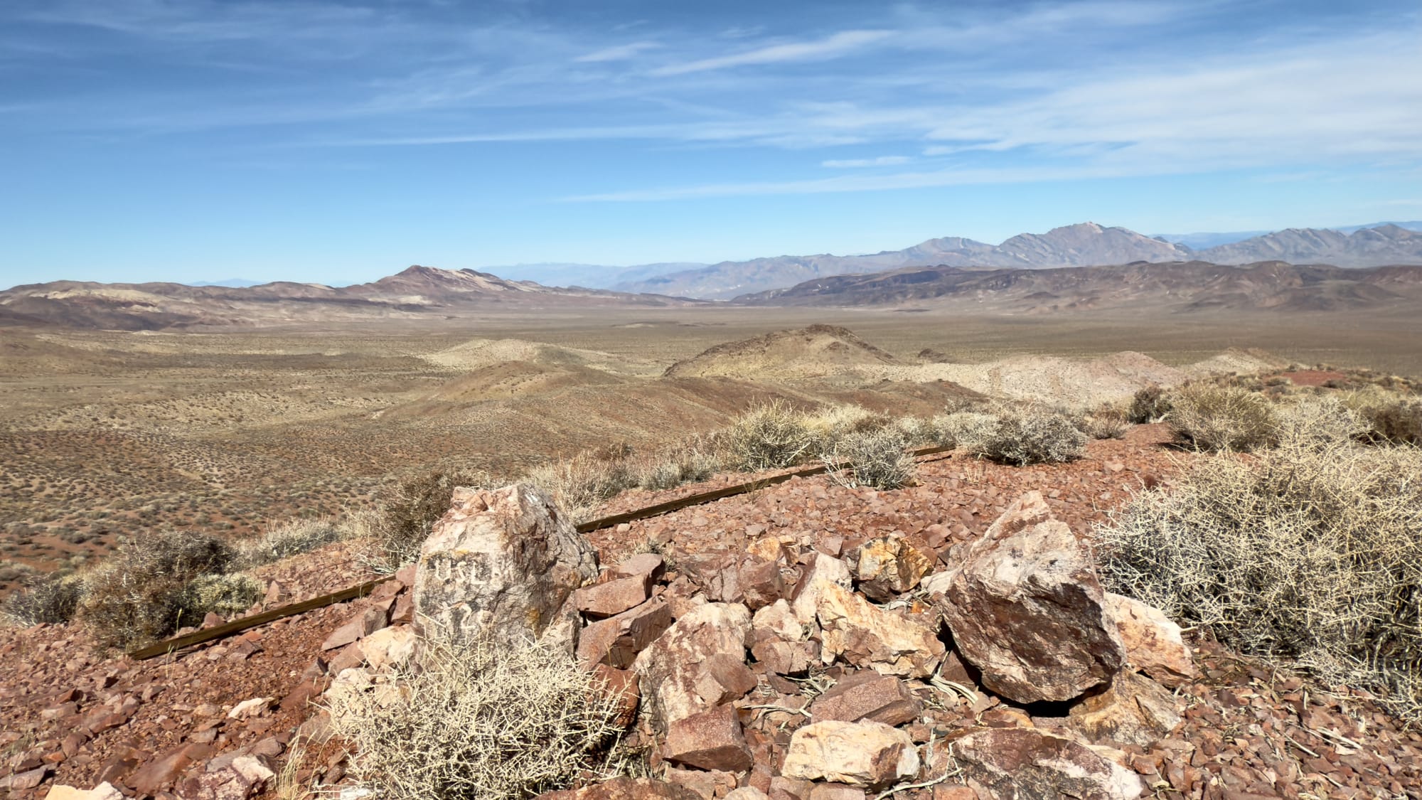
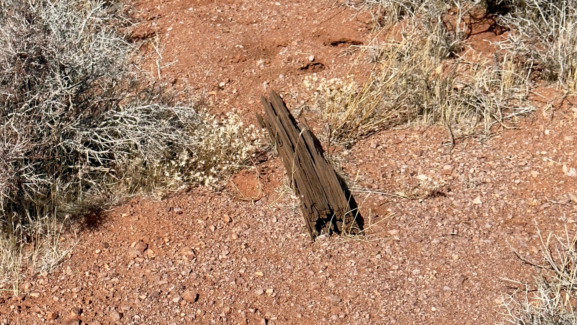
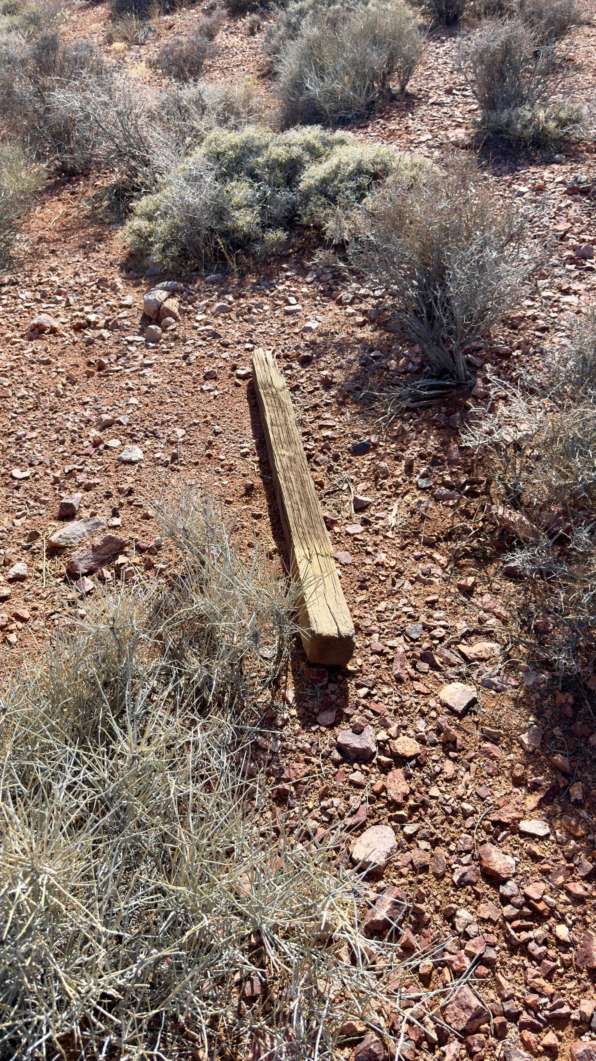
USLM is a carved stone marker at coordinates 36.16828N, -116.63934W and elevation 5,361 feet ASL. The long wooden post on the ground is the original witness post and was unusually long so it could be used to survey off of from the Greenwater Mining District located in the hills below this location.
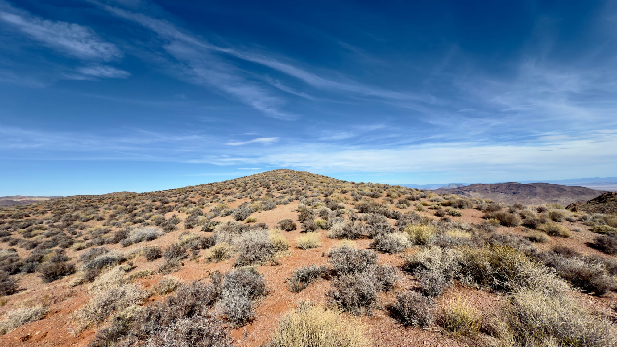
Second Stop: Peak 5940 in the Black Mountains
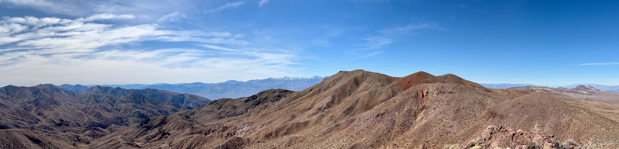
After visiting USLM 120, we headed back uphill to the Jeep, grabbed our packs, and headed off up a ridge line to check out nearby Peak 5940. From the Jeep we headed north on the road a tiny bit to grab the most obvious east-west ridge that didn't look like a total legbuster.
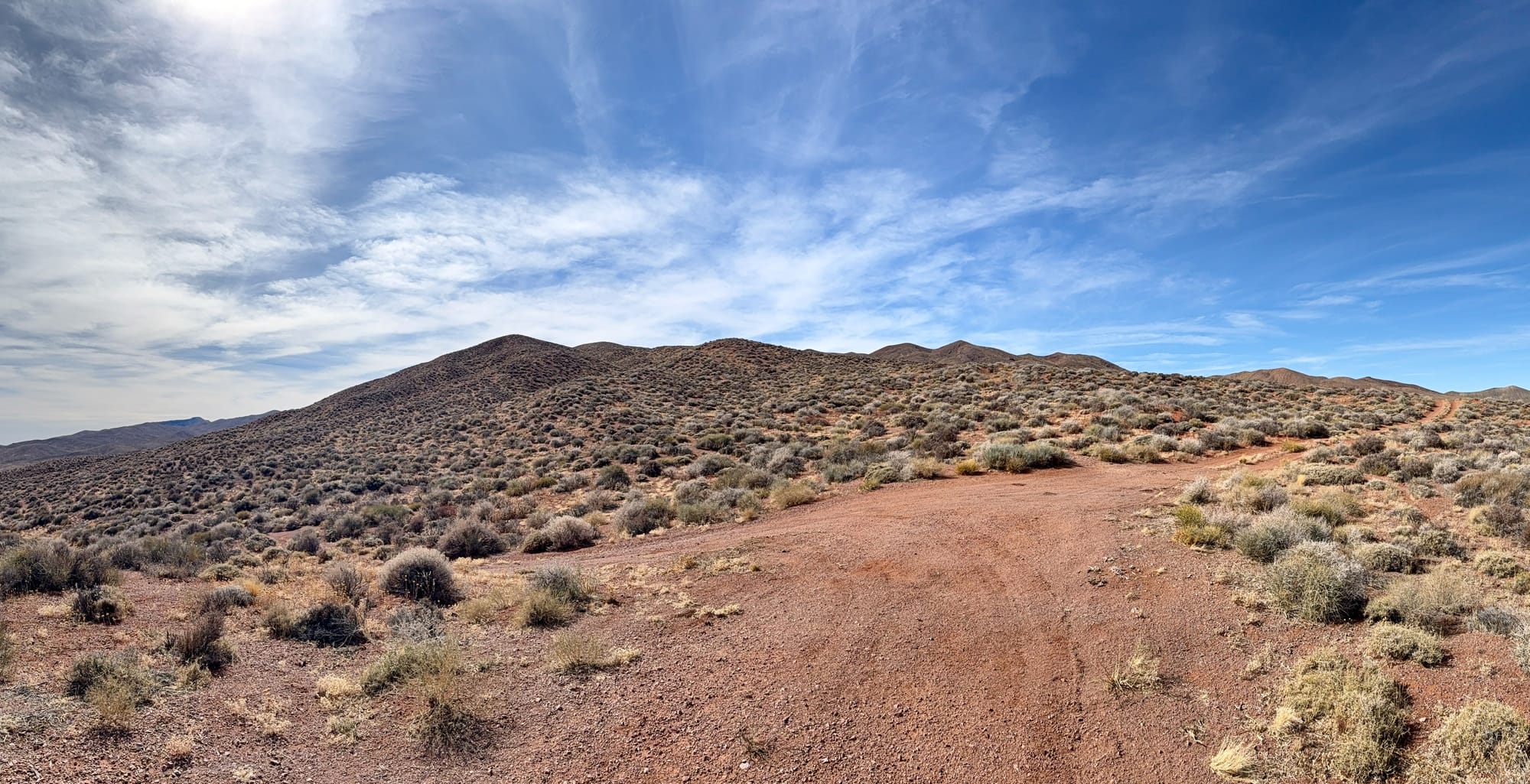
Climbing the ridge gave us great views to the east and north. We could see all the ranges out to the Spring Mountains and Charleston looked great with recent snow from the previous week.
One aspect of this hike that was interesting is the number of very old mining claim corner posts we found. Greenwater was formed around a mining strike in 1904 or 1905 depending on the source. It was an absolute bust and completely shutdown by 1909. There was never a secondary breath of life for Greenwater because the ore was low grade and very difficult to extract. This meant that the normal overstaking or relocation of closed claims didn't happen at Greenwater. We found several corner posts that are likely from the original 1904 to 1909 period based on their condition and that makes them between 116 and 121 years old! Don't disturb them if you come look, they are likely very fragile and made just fall apart if disturbed.
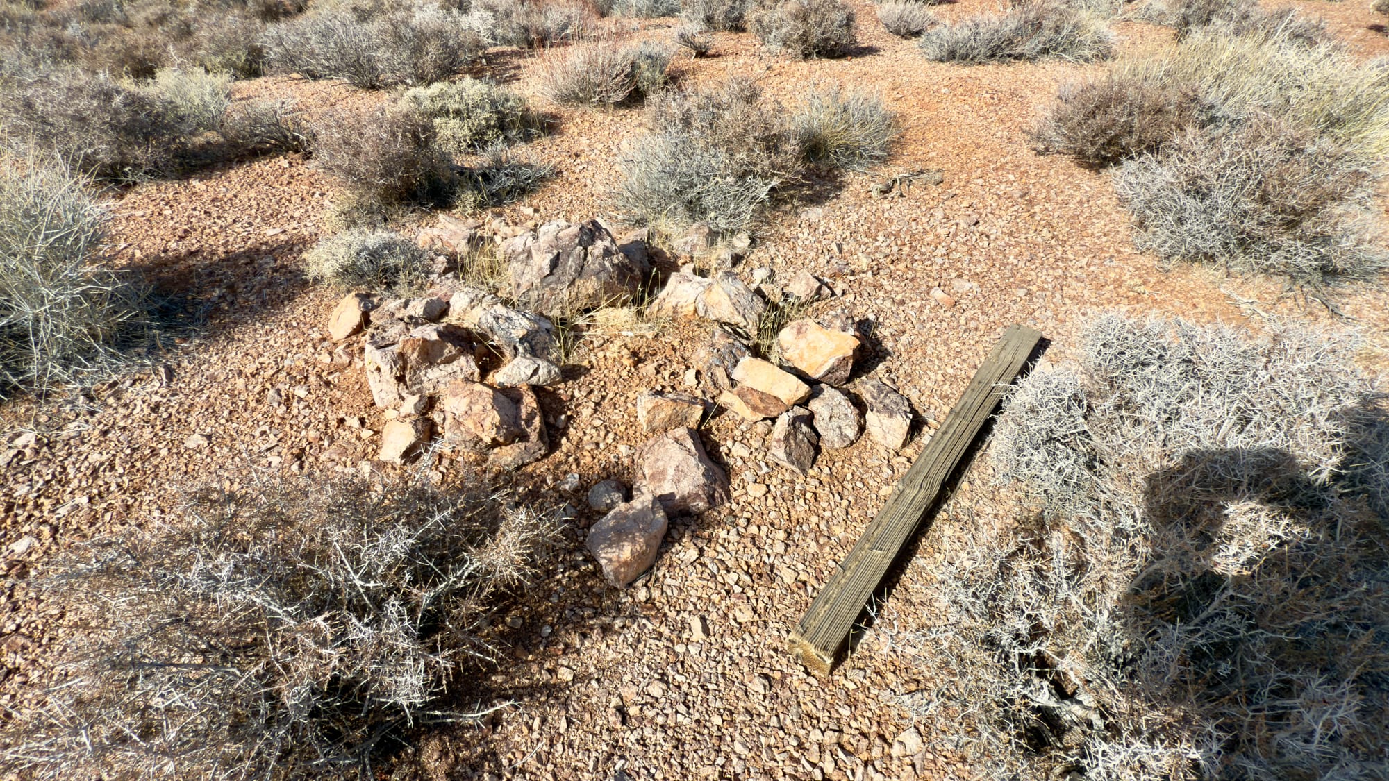
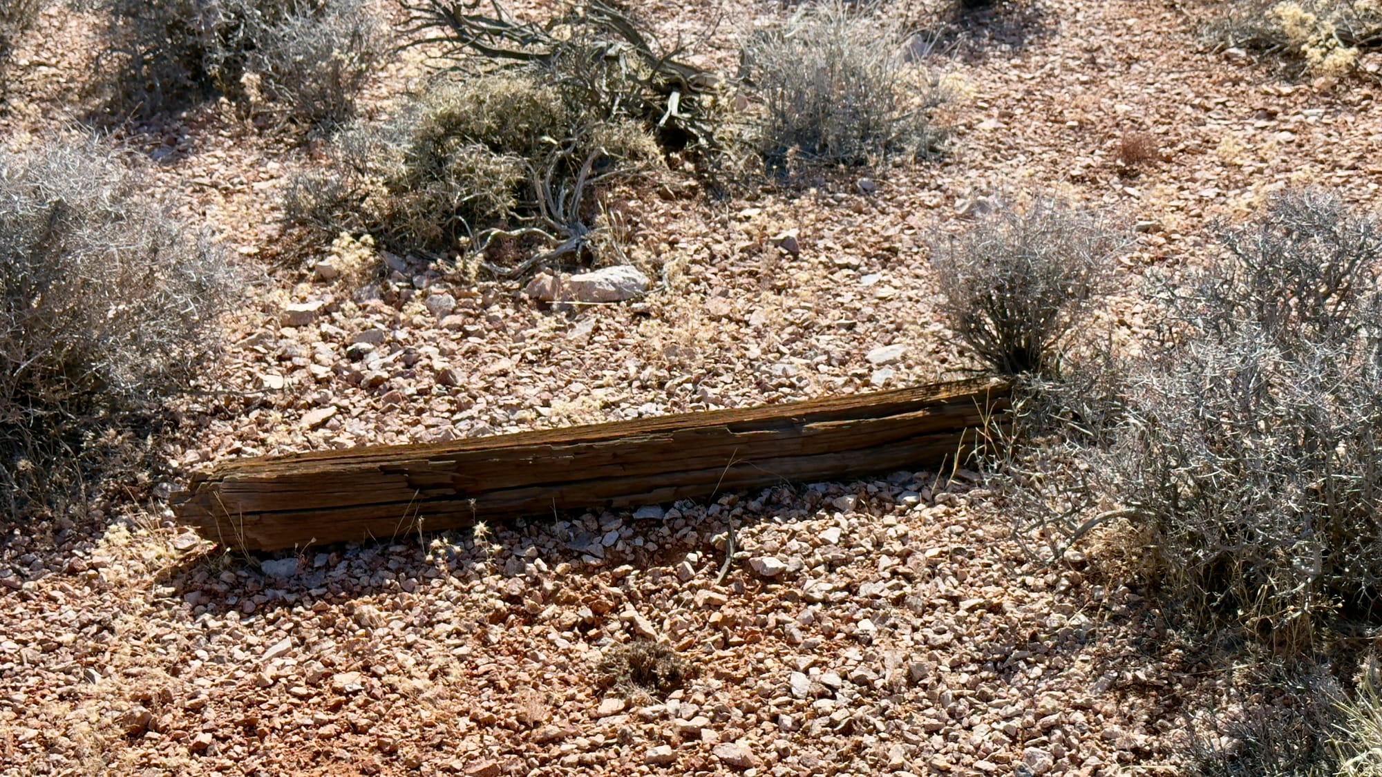
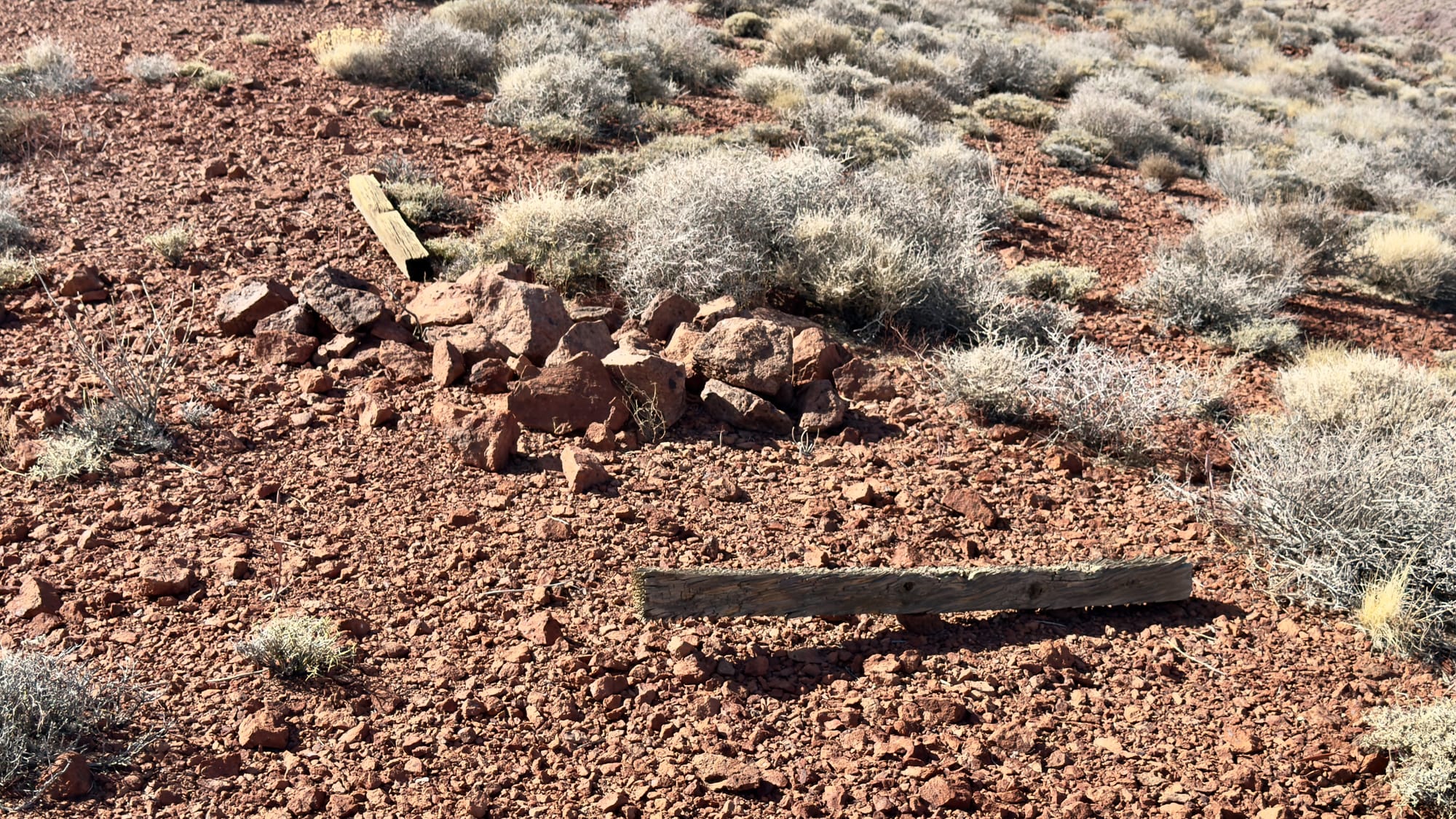
Some of the oldest mining claim markers we've found in our explorations so far. These are all likely from the 1904 to 1909 period making them up to 121 years old!
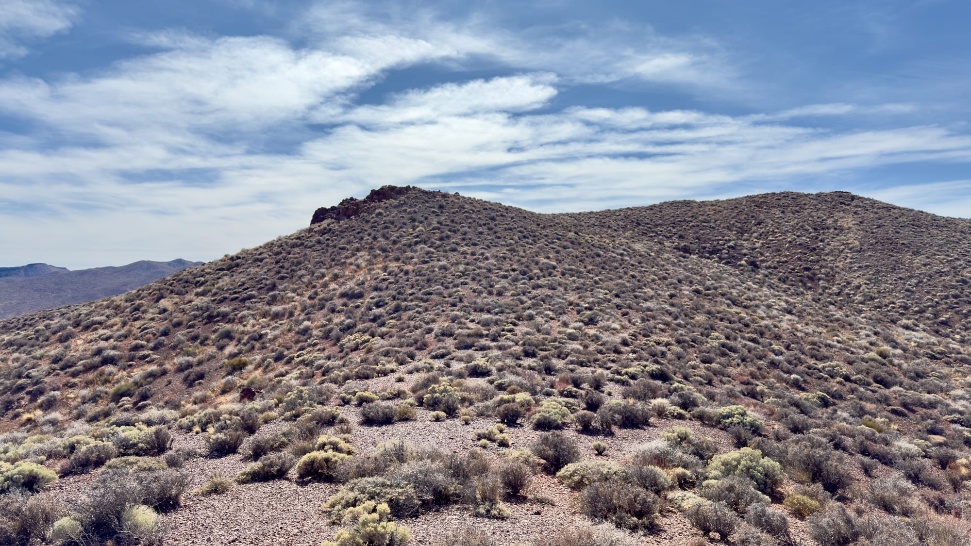
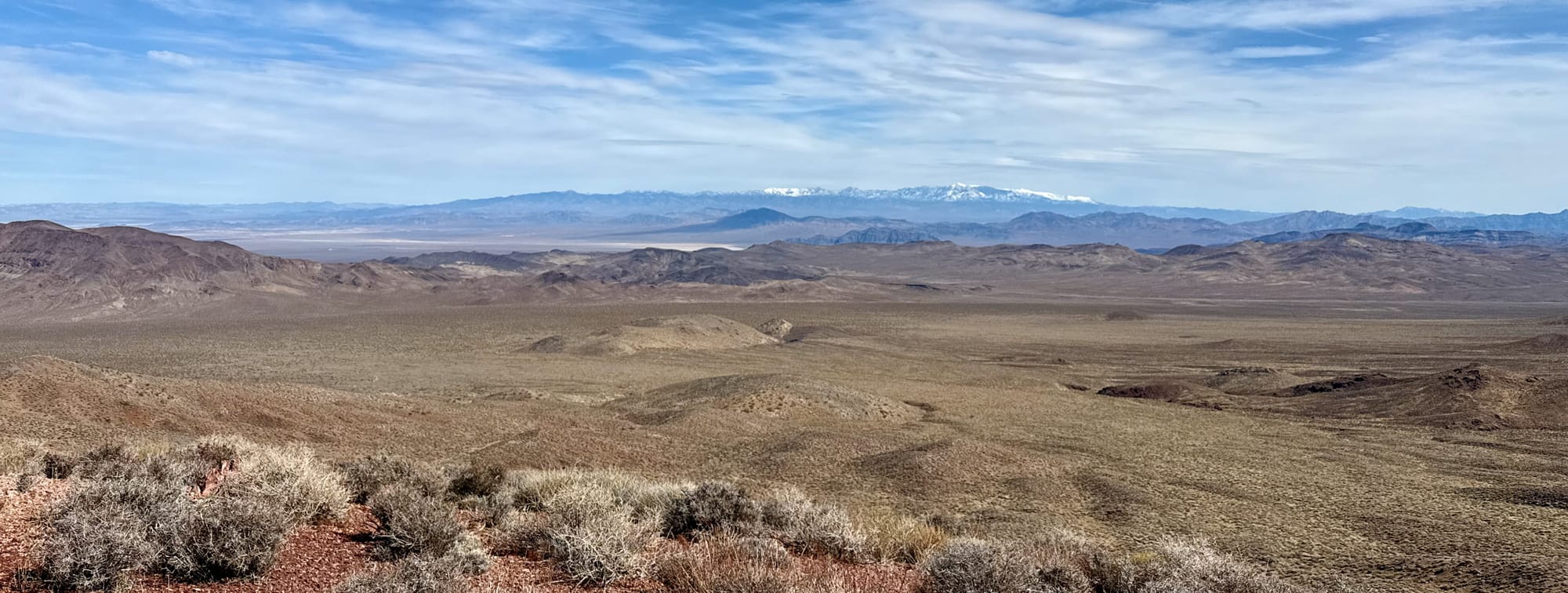
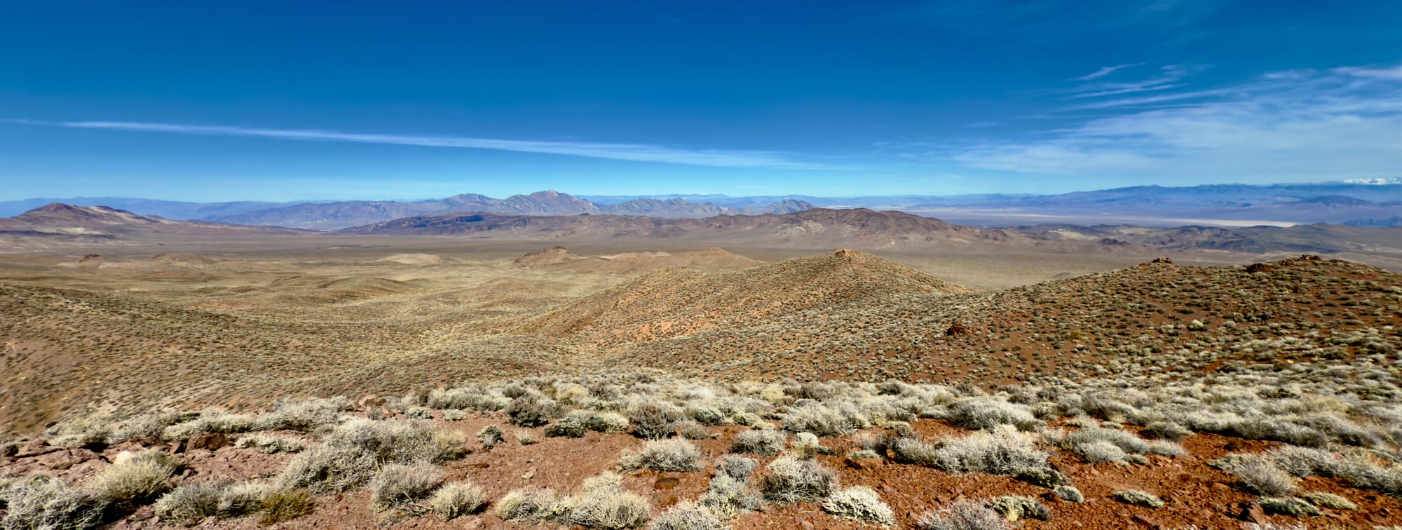
The view from the summit of Peak 5940 is great. You can't quite see into the floor of Death Valley, but the north-south views along the Black Mountains is very nice. There are some further unnamed peaks in the area that we plan to come back and see but today was just a short recovery day after doing a 14 mile segment of the T&T Railroad yesterday.
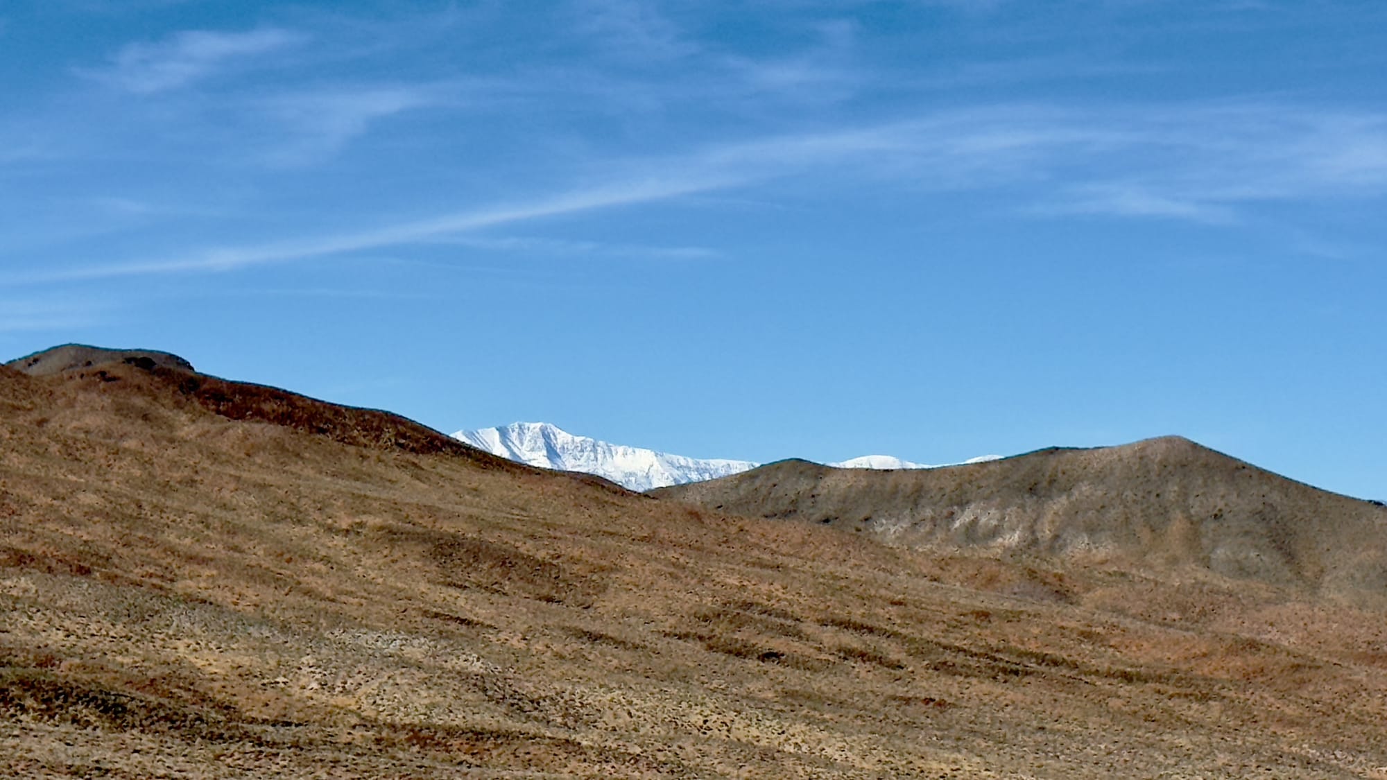
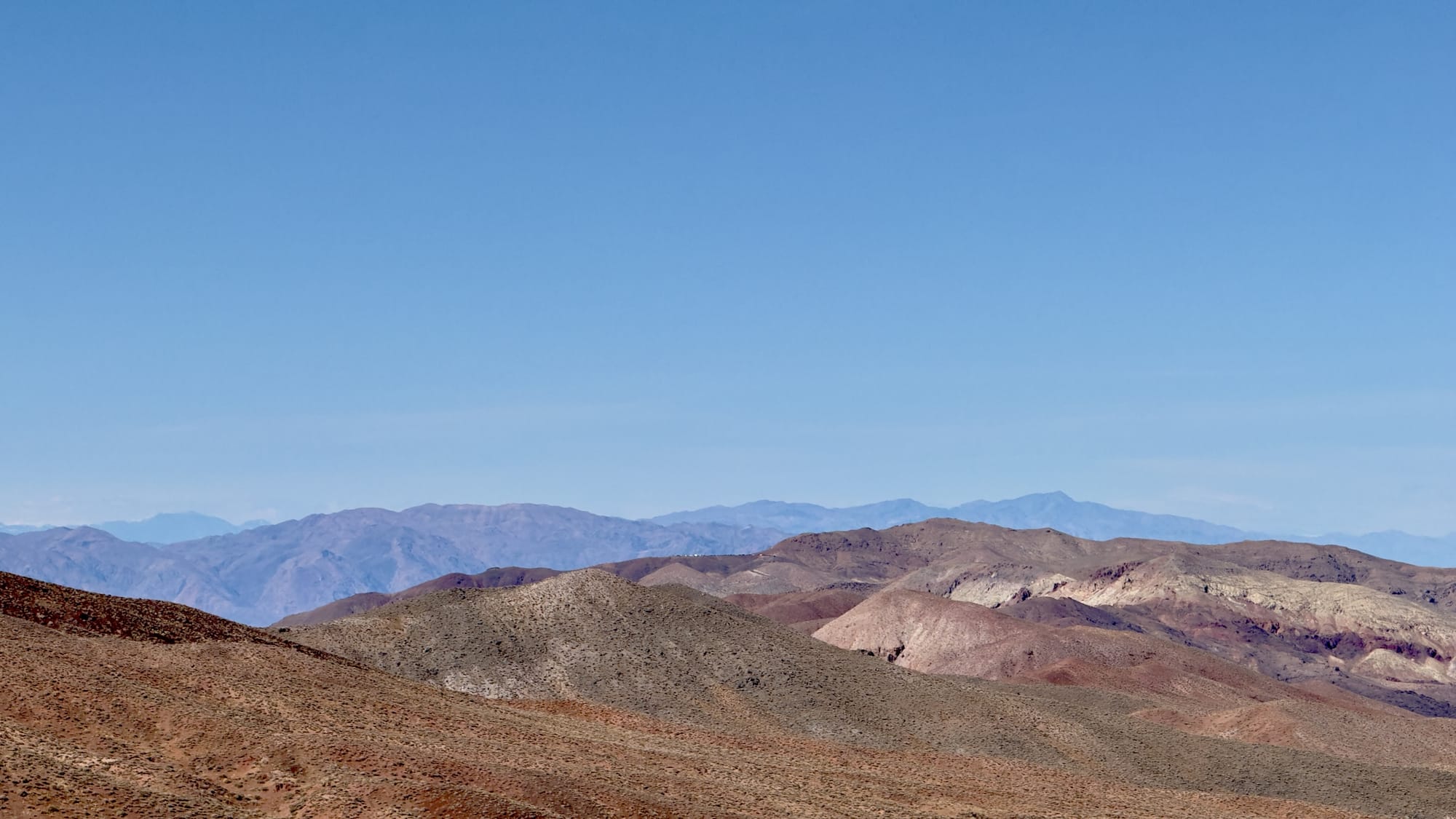
Left: Telescope Peak sneaking a peek through on the hike to 5940. Right: A glint of light caught my eye on the hike up and, sure enough, you can see all the way down to Dantes View.
Final Stop: China Date Farm for a date shake
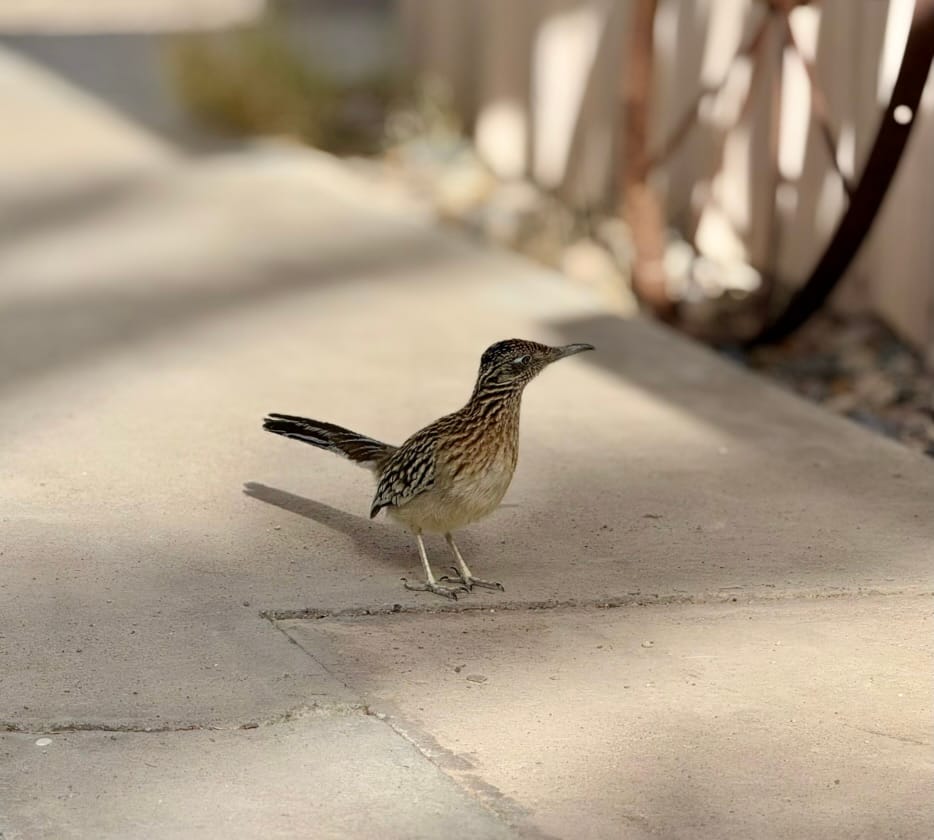
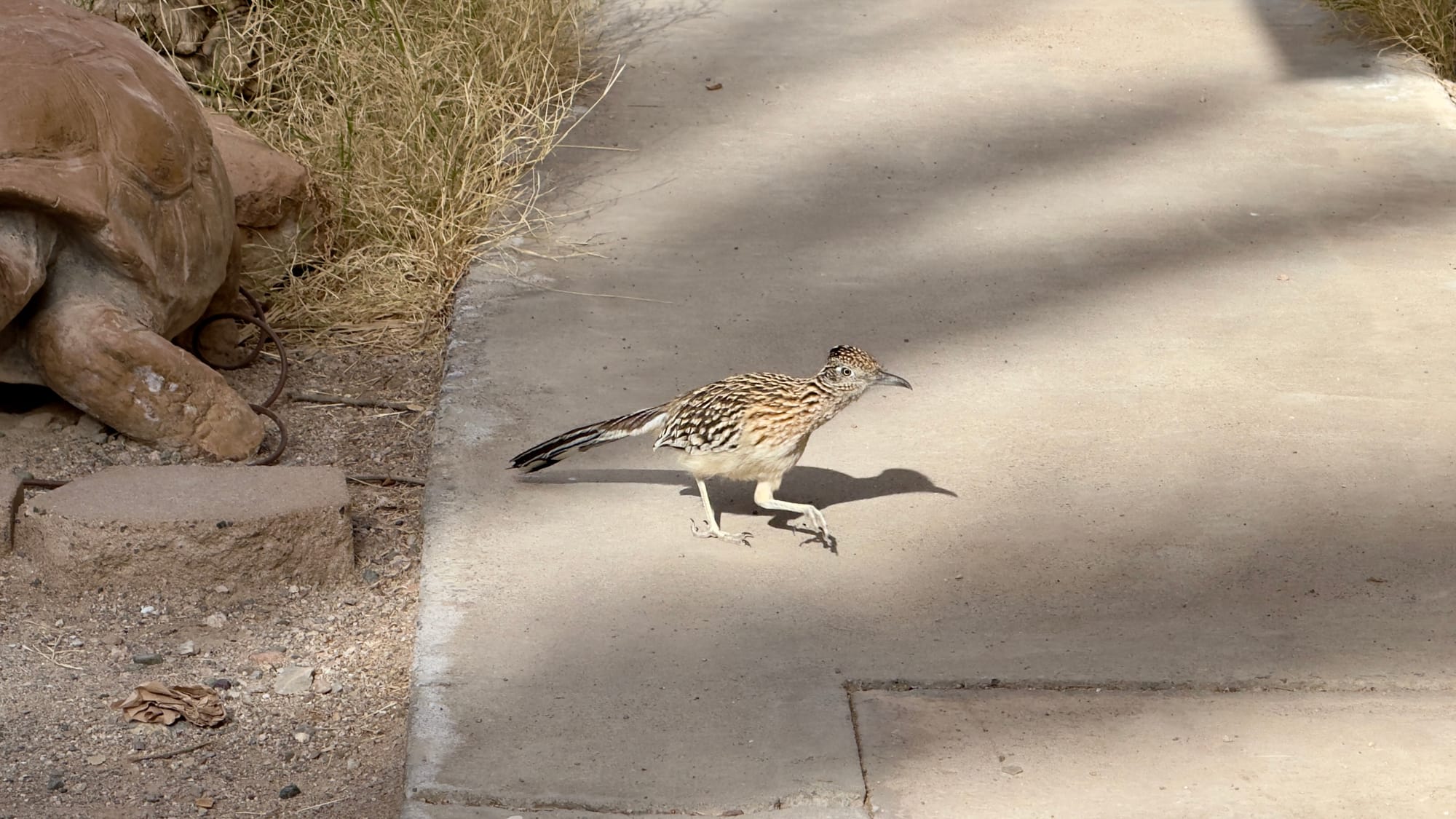
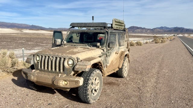
I include this stop only because A) we saw a great roadrunner and B) we got the Rubicon very dirty on Furnace Creek Road.