Stirling (Sterling) Mine, Spring Mountains, Nye County Nevada

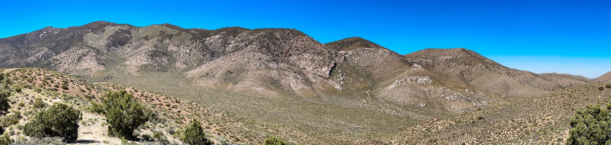
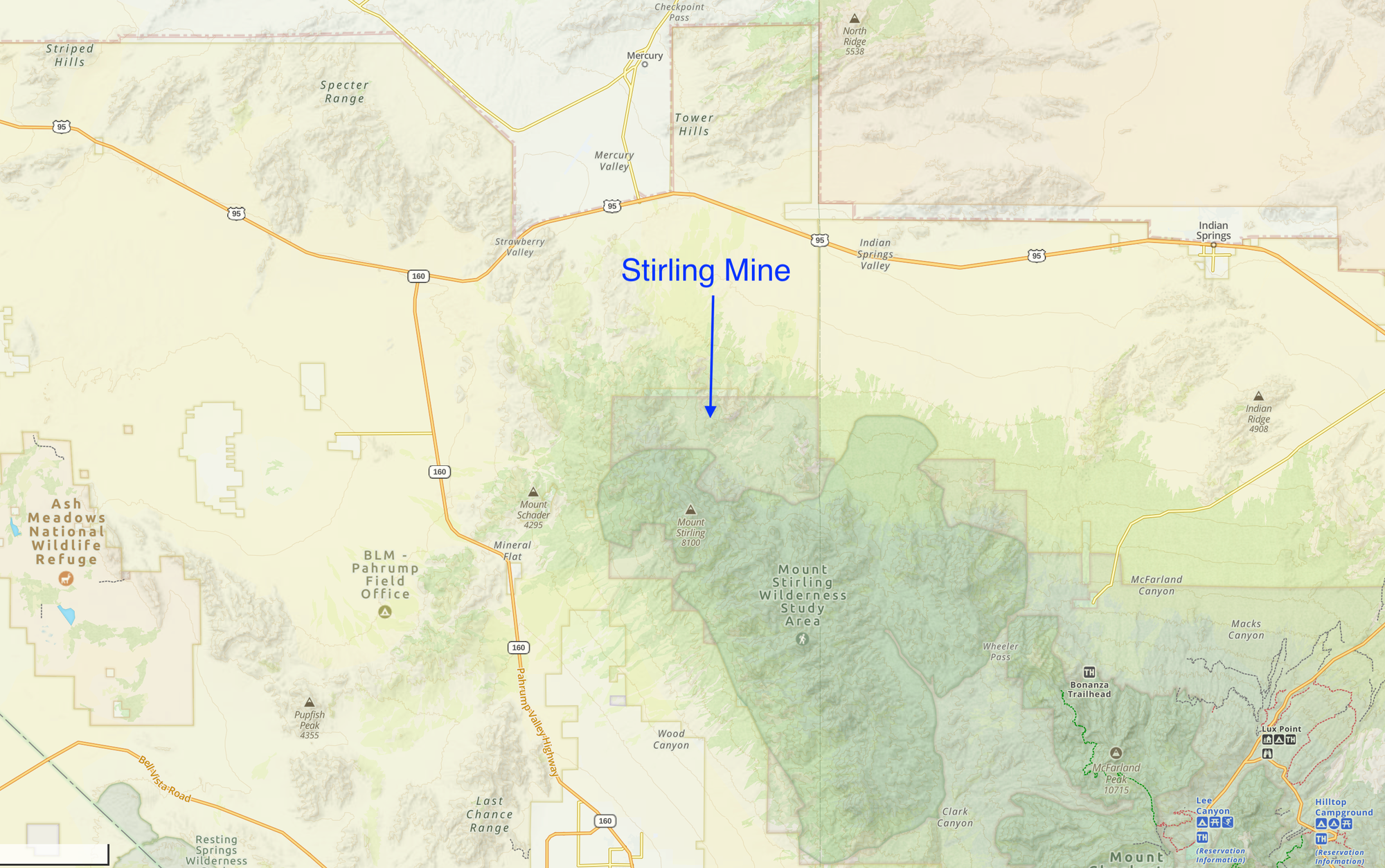
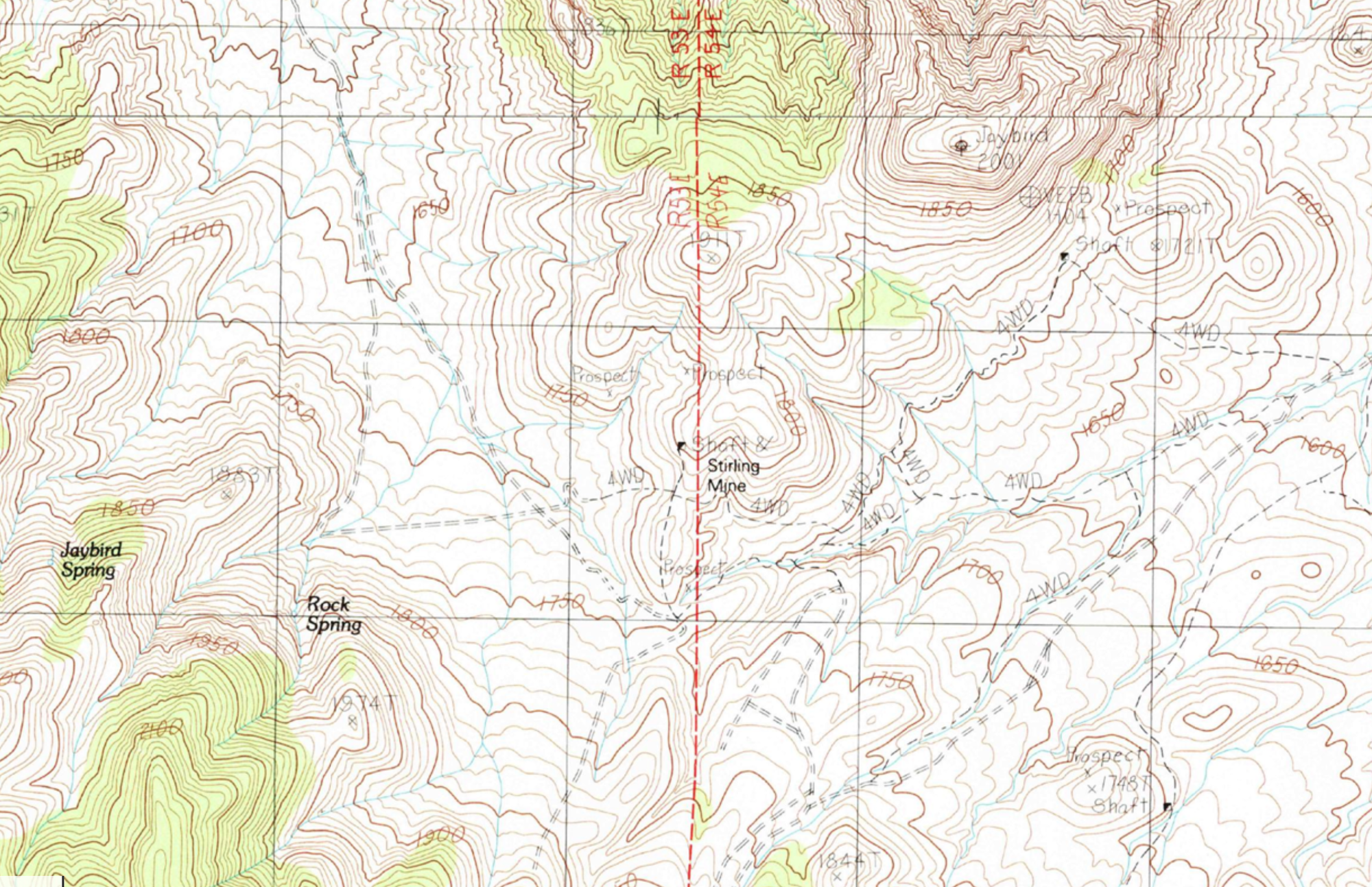
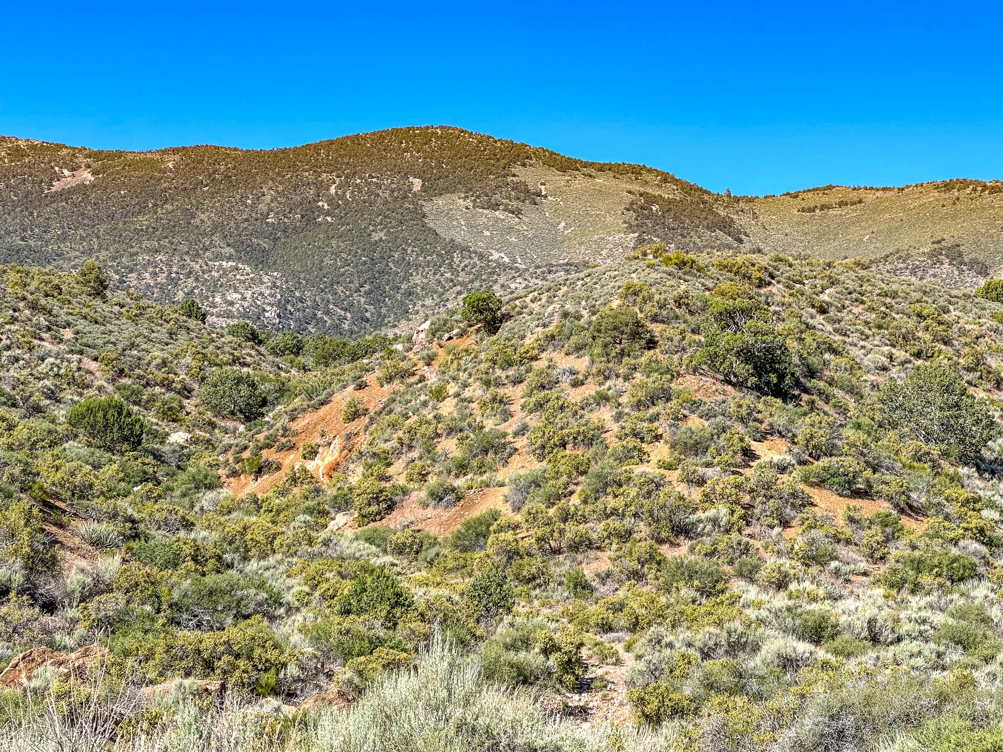
The Stirling Mine (also spelled Sterling), nestled in the northern Spring Mountains just over the Clark County line in Nye County at 36.48976N, -115.95803W (PLSS Mount Diablo Meridian, Township 017S, Range 054E, Section 07, Quarter Section SWNW) at an elevation of 5,901 ft. It was a significant mining site first discovered in the late 19th century and then rediscovered in the early 20th century. This area, rich in lead and gold deposits, had been largely overlooked until the arrival of the Tonopah and Tidewater Railroad, which made access easier and facilitated the transportation of raw materials crucial for mining operations. The first major prospect at Stirling was identified along the canyon's lead-rich limestone formations, setting the stage for further development and renewed interest among prospectors.
In 1890, the Old Sterling mill site began treating gold ore, utilizing a water supply piped from Big Timber Spring. The site's quartz and gold-bearing veins quickly drew the attention of miners and investors. Operations continued with varying success, with significant activities including milling gold ore and processing other minerals. However, the region's geological complexity, characterized by faulted surfaces and mixed ore deposits, often posed significant challenges. Despite these difficulties, the presence of high-quality quartz veins ensured that the area remained of interest to prospectors and mining companies.
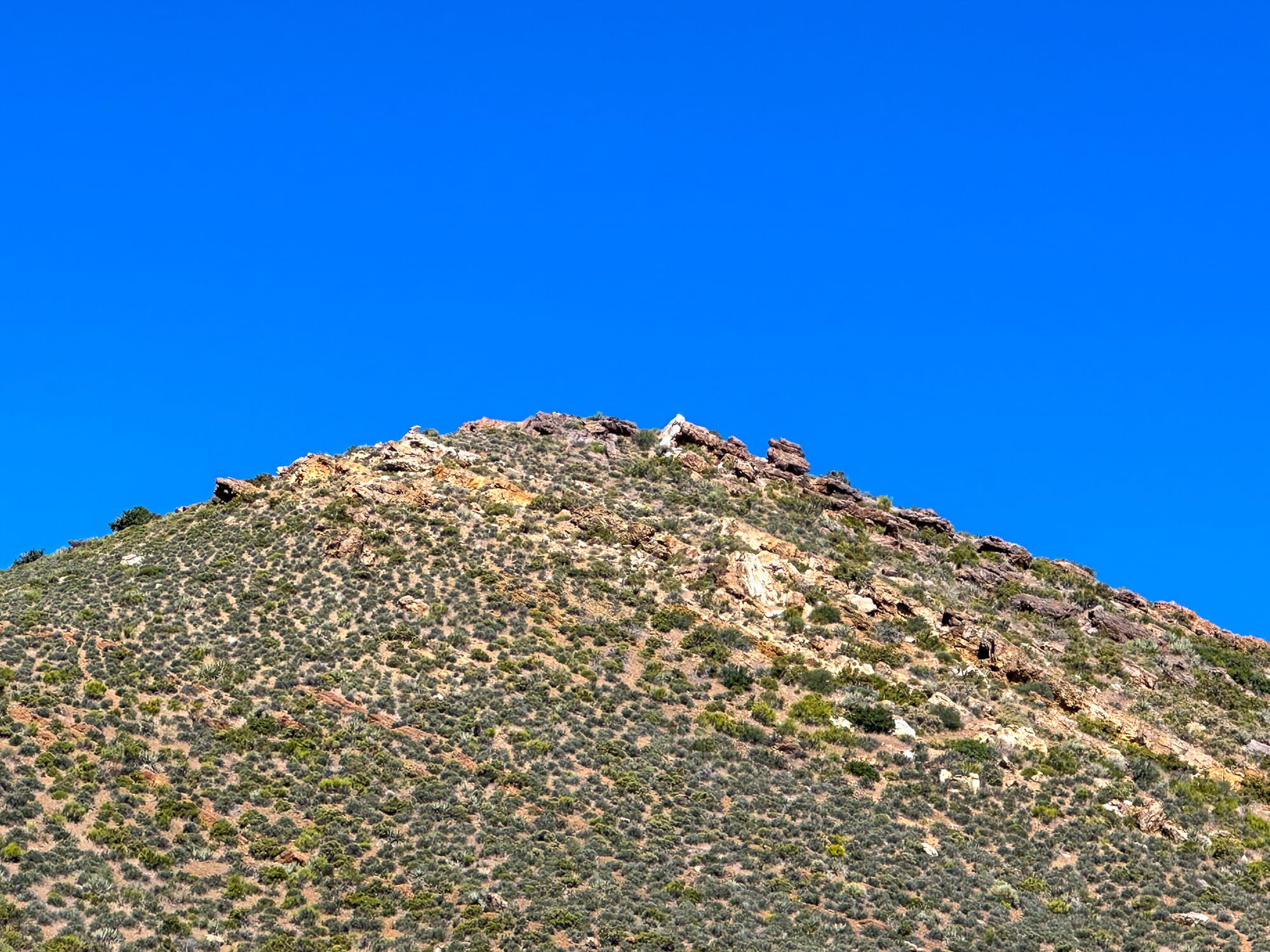
The geology of the Stirling Mine area is complex. The rocks in this region represent the highest of three thrust nappes in the Spring Mountains, underlain by the Wheeler Pass thrust. This thrust nappe system moved from west to east over the Carboniferous and Permian Bird Spring Formation along the Wheeler Pass thrust, near the southern boundary of the area. A large-scale fold, known as the Wheeler syncline, affects the entire Wheeler Pass thrust nappe and developed either prior to or during the movement along the Wheeler Pass thrust. This geological activity resulted in mesoscopic folding, secondary cleavage, and two dominant sets of veins and fracture systems in the Proterozoic and Paleozoic strata before the thrust sheets were emplaced.
One vein system has been folded into approximate parallelism with the bedding of most units, while the second system consists of late metamorphic quartz-hematite veins that cut across all previous metamorphic fabrics. This vein system extends from the Stirling Mine westward to about 0.6 miles east of the Johnnie mining district. All structures, including those older than the Wheeler Pass thrust fault, are intersected by high-angle normal faults. The older set of these faults trends north to northeast, while a younger set, related to basin and range formation, trends northwest. These northwest-trending faults have shaped the high mountainous relief characteristic of the Spring Mountains.
Detailed geological mapping at the Stirling Mine area aimed to delineate the extent of alteration and mineralization, providing a clearer basis for identifying resource-rich tracts. The mapping efforts revealed that the intensity of rock alteration correlates directly with the proximity to fault lines, particularly within the Grapevine fault system. Here, metamorphic minerals such as chlorite and muscovite are heavily altered to clays, with the alteration becoming more pronounced near the faults. The calcareous rocks of the Johnnie Formation within these zones show significant development of jasperoid, often accompanied by calcite-jasperoid-breccia veins, indicative of sediment-hosted gold deposits. These geological features highlight the potential for economic mineralization in the area.
In addition to the jasperoid development, the area exhibits widespread silicification, particularly in the Johnnie Formation, Stirling Quartzite, and Wood Canyon Formation. This silicification is often cryptic but is expressed through fine, drusy quartz-lined fractures. Notably, at Rainbow Spring, the thick quartzites of the Johnnie Formation are partially to thoroughly silicified, brecciated, and re-silicified, with high concentrations of relict sulfide minerals undergoing intense leaching and goethitic alteration. The origin of these sulfide minerals—whether hydrothermal or preexisting metamorphic segregations—remains uncertain, although the hydrothermal hypothesis is favored.
The most intense alteration within the area is concentrated within 400 to 800 feet of the Grapevine fault and associated faults, though effects can be observed up to 2,500 feet away. The alteration is particularly pronounced in a 4-mile stretch between Horseshutem Spring and Wood Canyon. Additionally, areas such as Big Timber Spring continue to exhibit active alteration due to spring waters. The presence of small bodies of jasperoid and silicified limestone within the Wheeler Pass thrust zone, along with quartz-specular hematite veins cutting across various formations, further underscores the region's complex geologic and alteration history. These geological features collectively highlight the significant resource potential of the Stirling Mine area.
The intricate geological history of the Stirling Mine area, with its multiple thrusts, folds, and fault systems, underscores the significant tectonic forces that have shaped this region. This complex structural framework has created a challenging but potentially rewarding environment for mineral exploration and development.
The early 1900s saw a resurgence in prospecting, driven by the success of nearby towns like Goldfield, Rhyolite, and Greenwater. Sterling's favorable climate and proximity to the railroads made it an attractive location for new mining ventures. By 1910, a thriving mining community had developed, complete with streets, homes, and essential services such as a store and a reliable water supply. This period marked the peak of activity in Stirling, with the town bustling with miners and their families. However, WWI and subsequent economic downturns led to a decline in mining activities. Although the town eventually faded, the legacy of Sterling's mining endeavors remains a testament to the region's rich mineral history and the boom-and-bust cycles typical of mining towns in the American West.
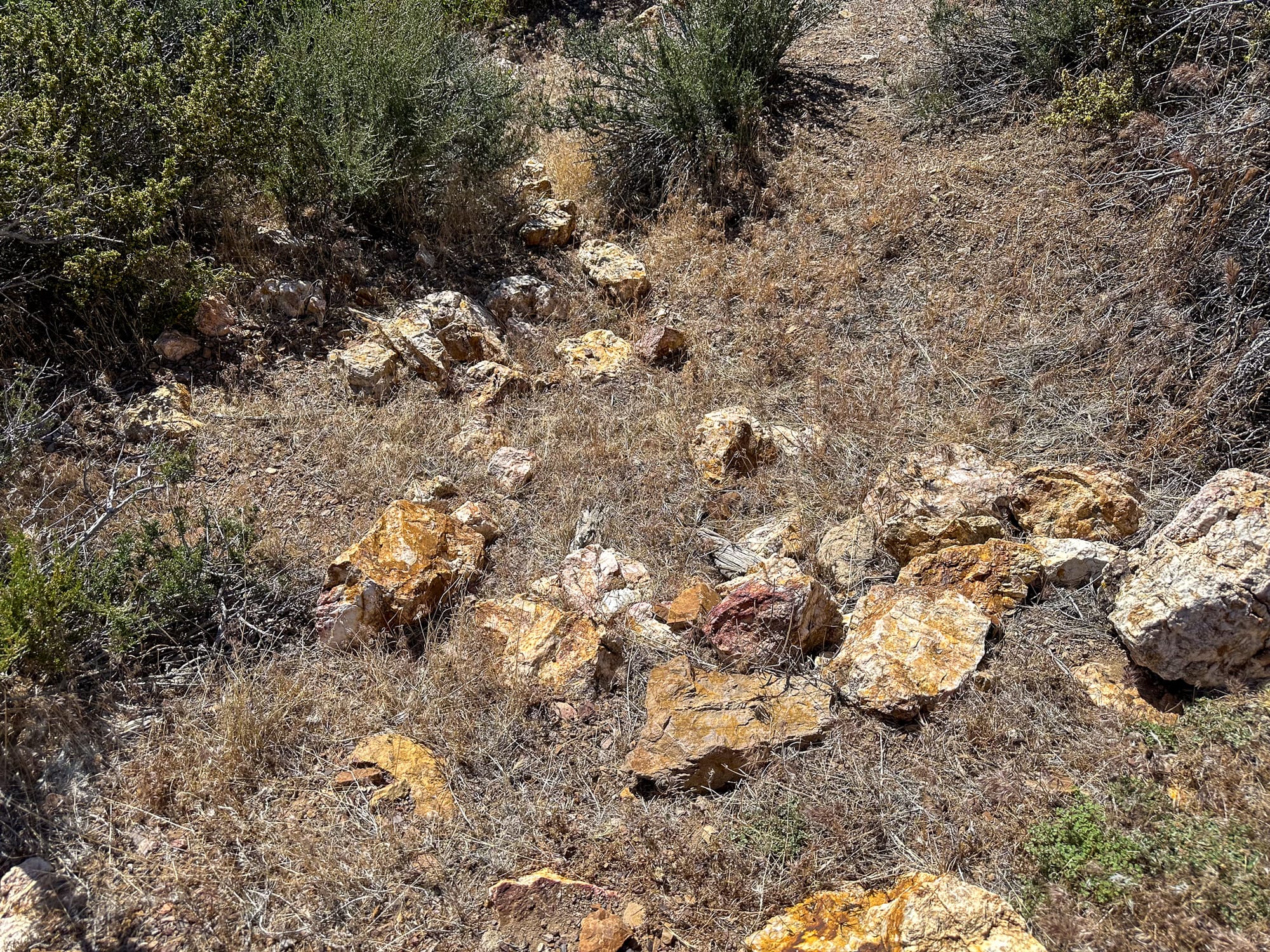
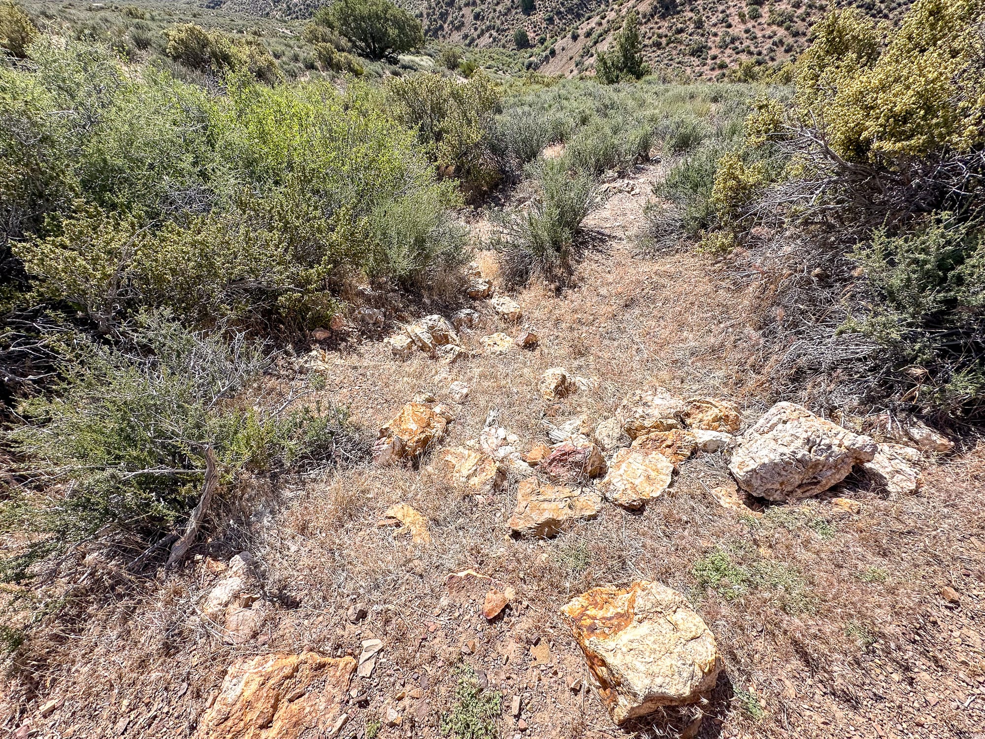
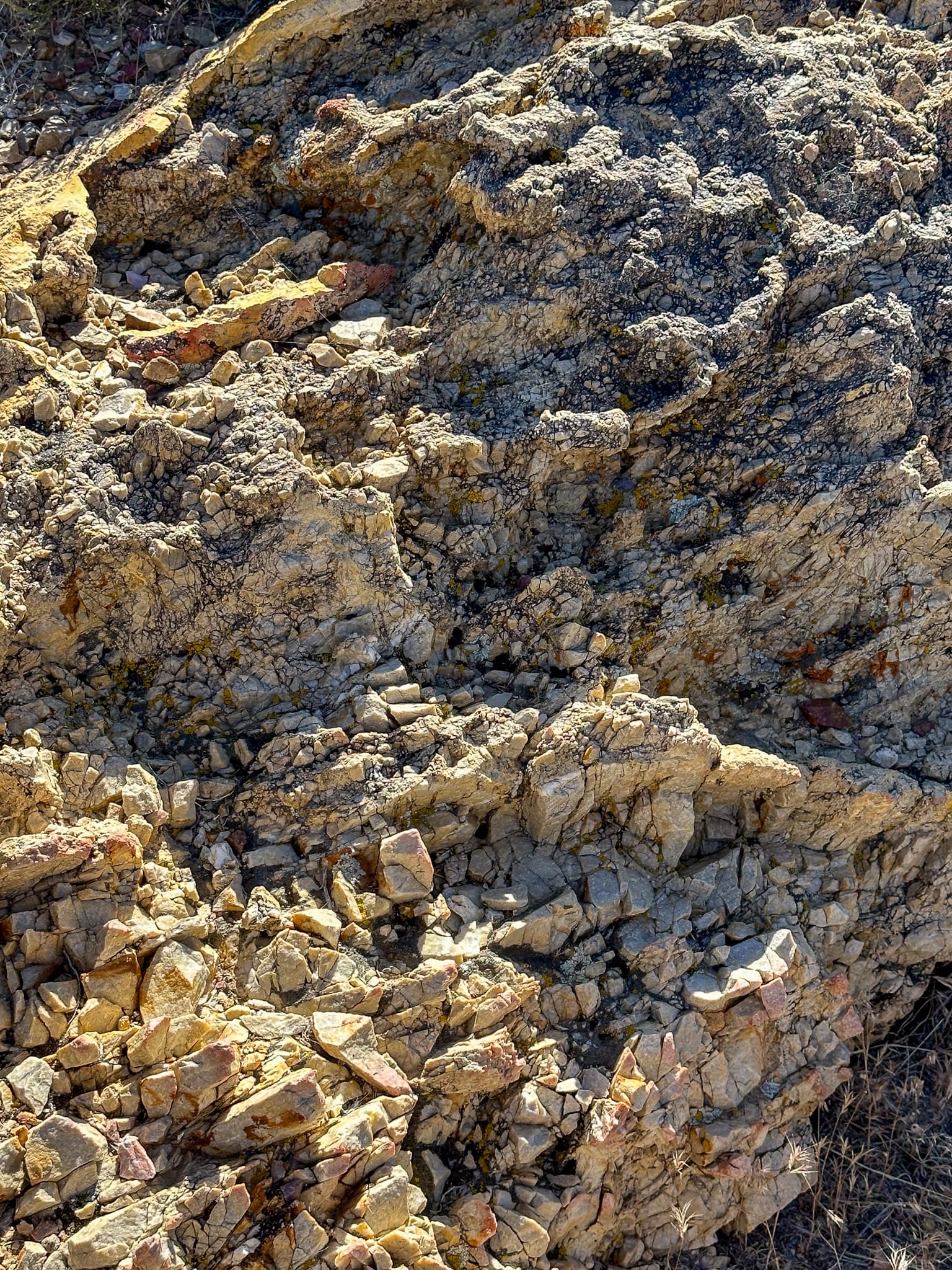
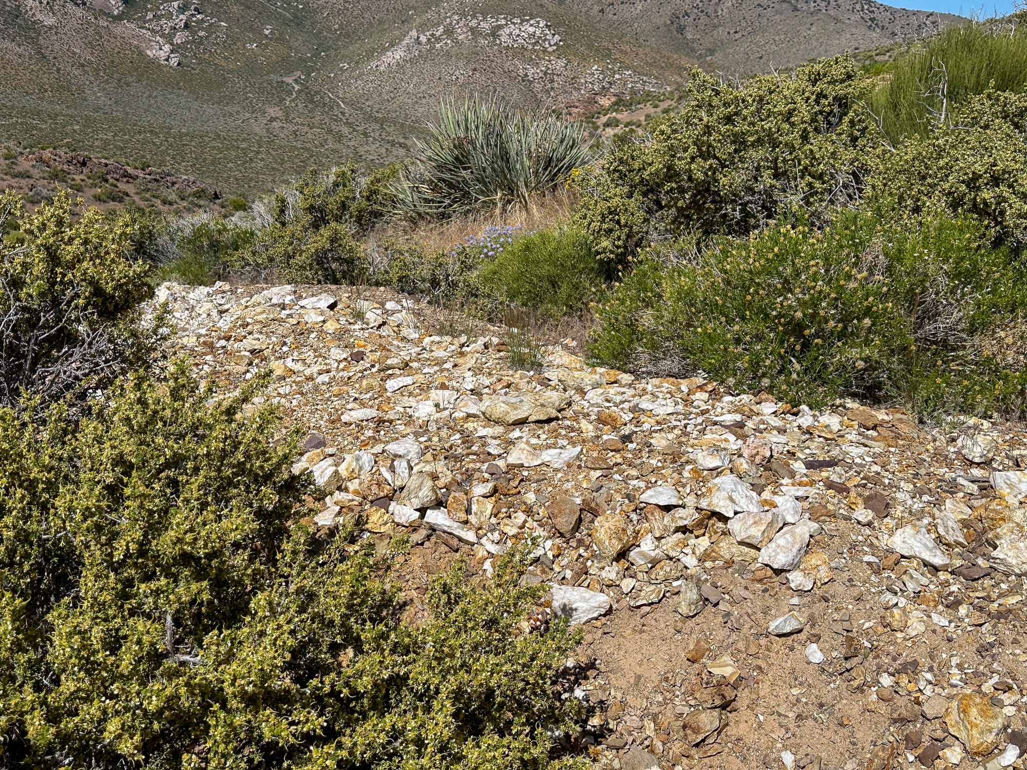
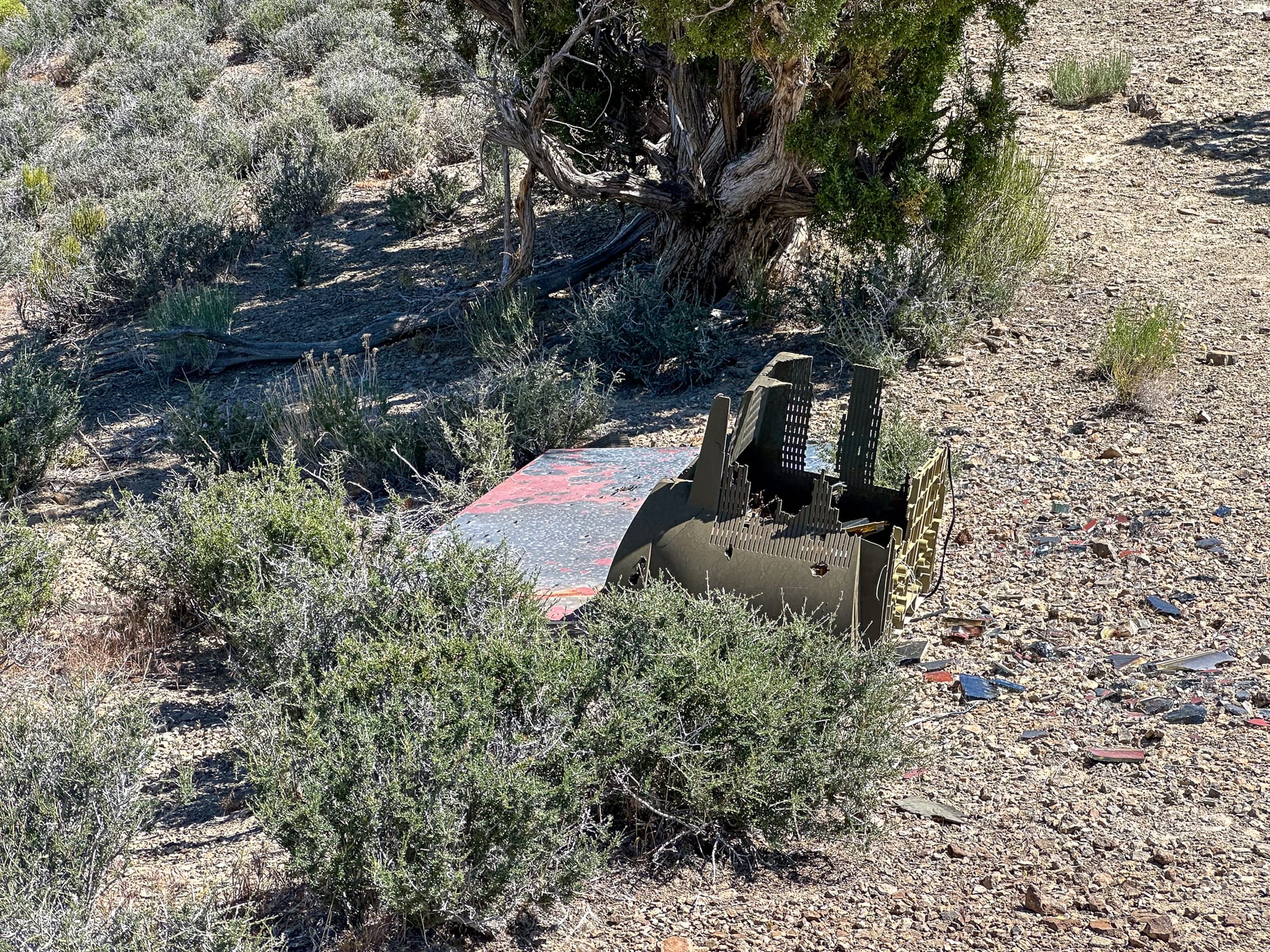
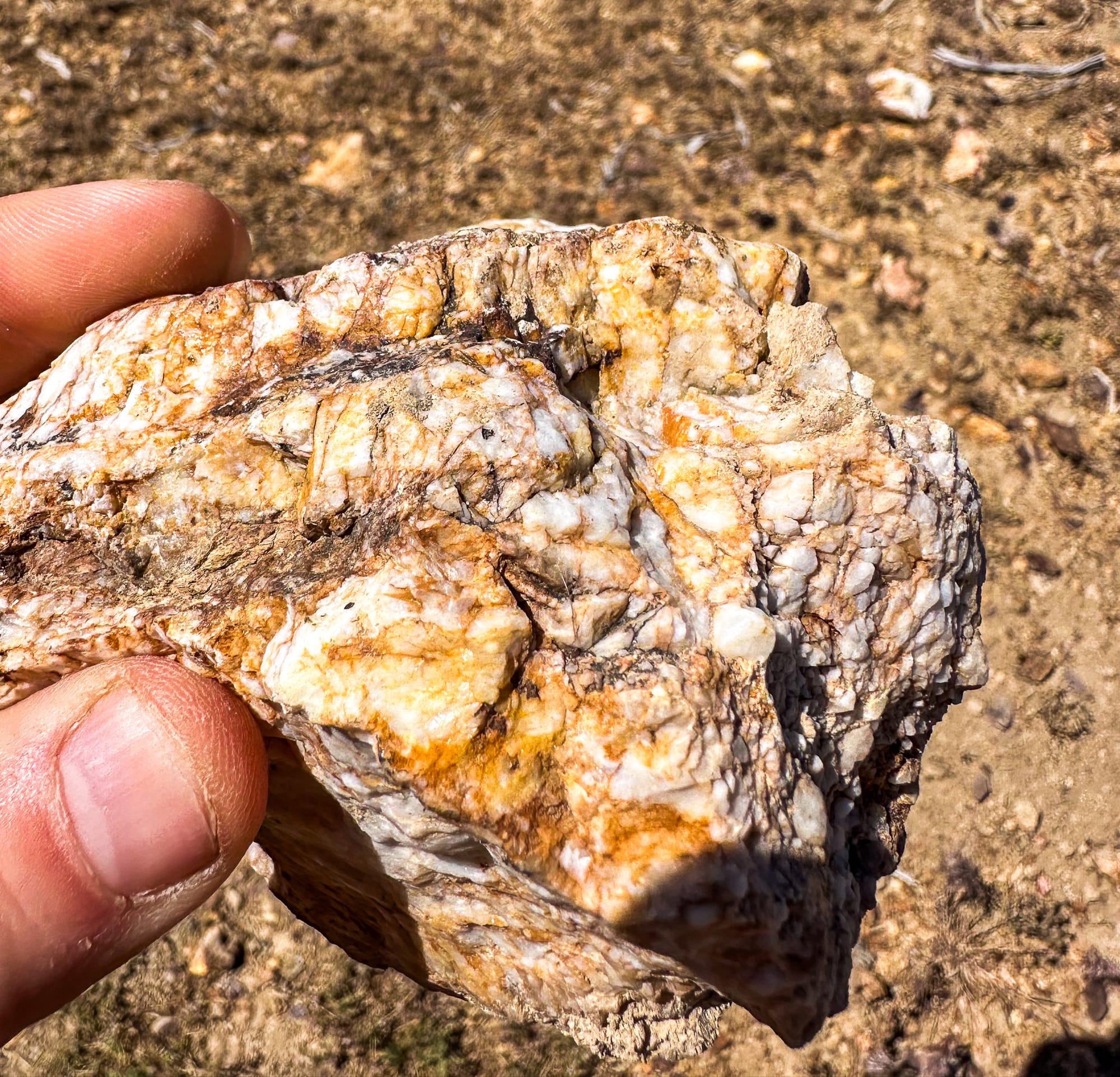
Broken pieces of the quartz vein that has been carried down into the wash beneath the hill.
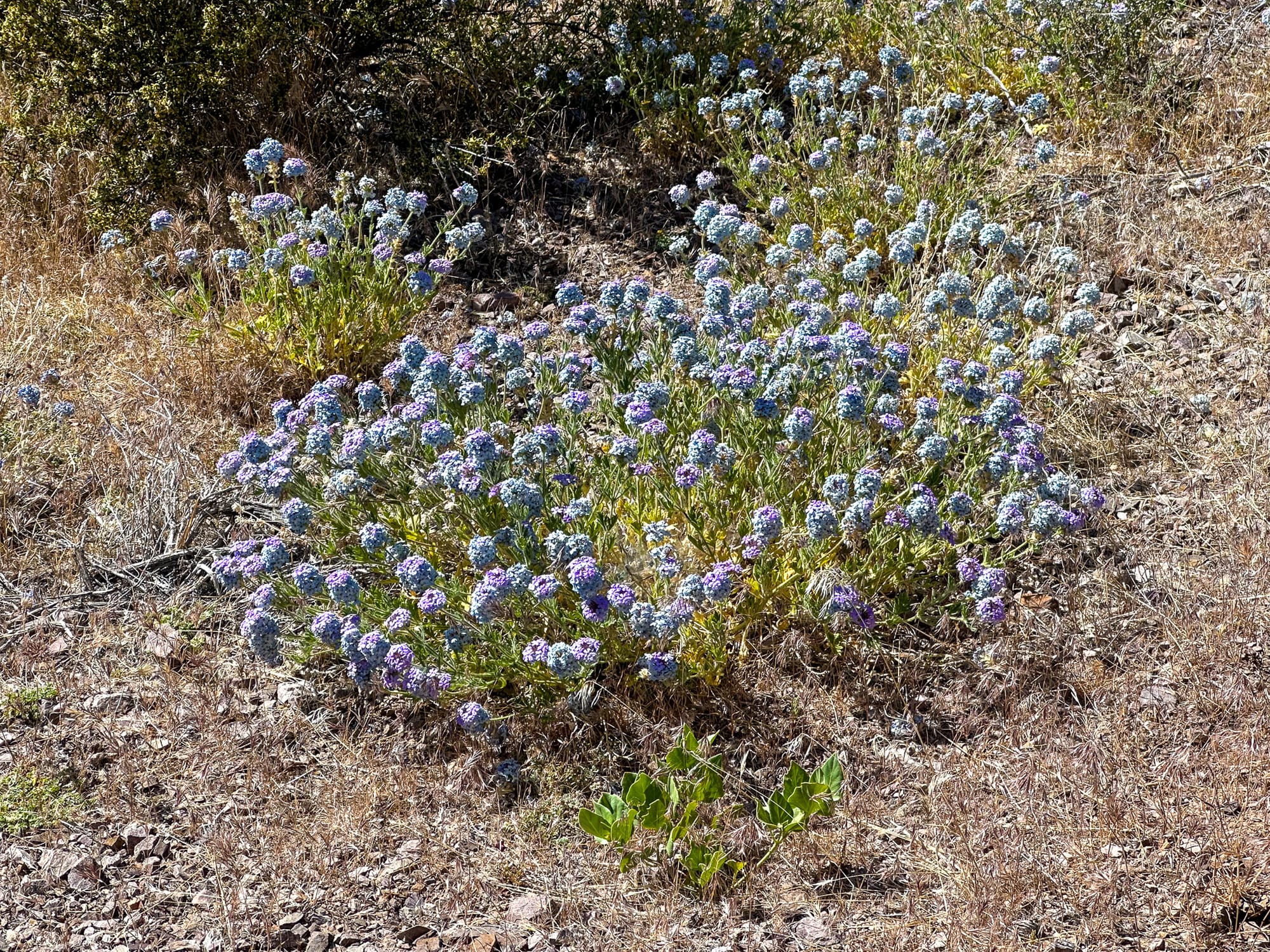
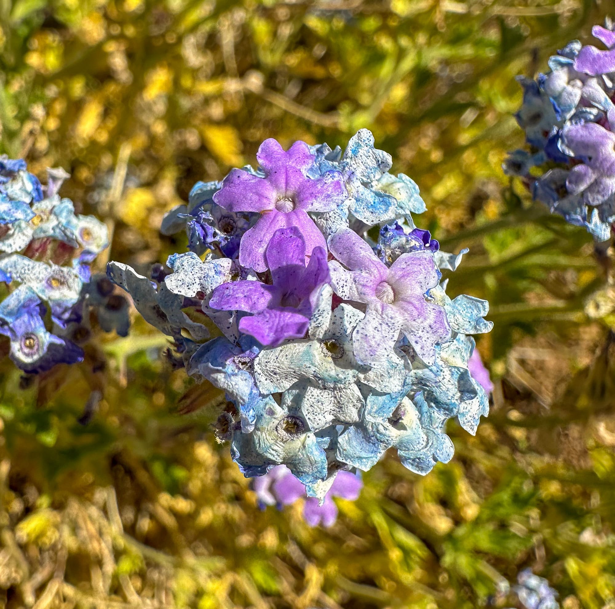
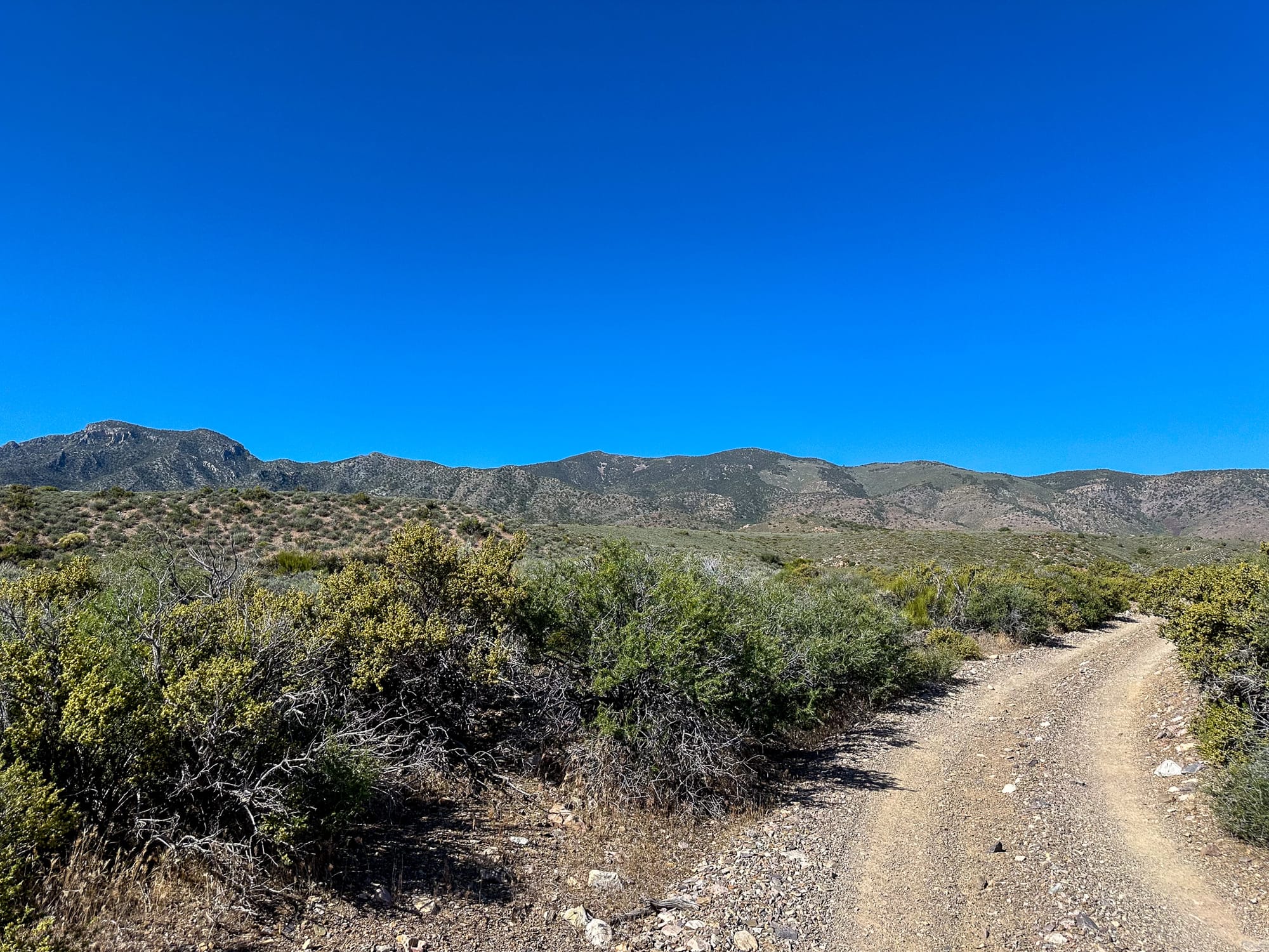
There were huge patches of beautifully blooming Southwestern Mock Vervain (Glandularia gooddingii) along the road.
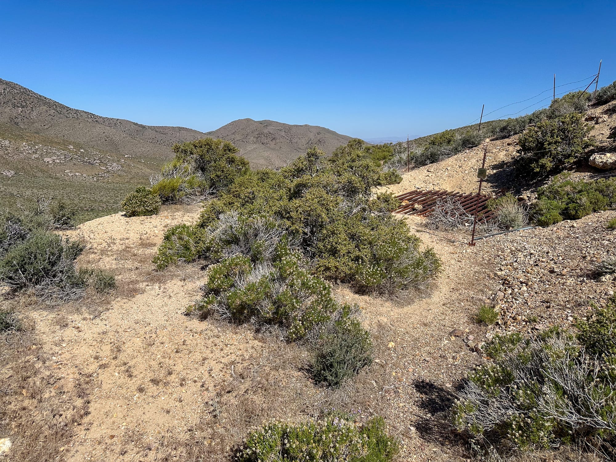
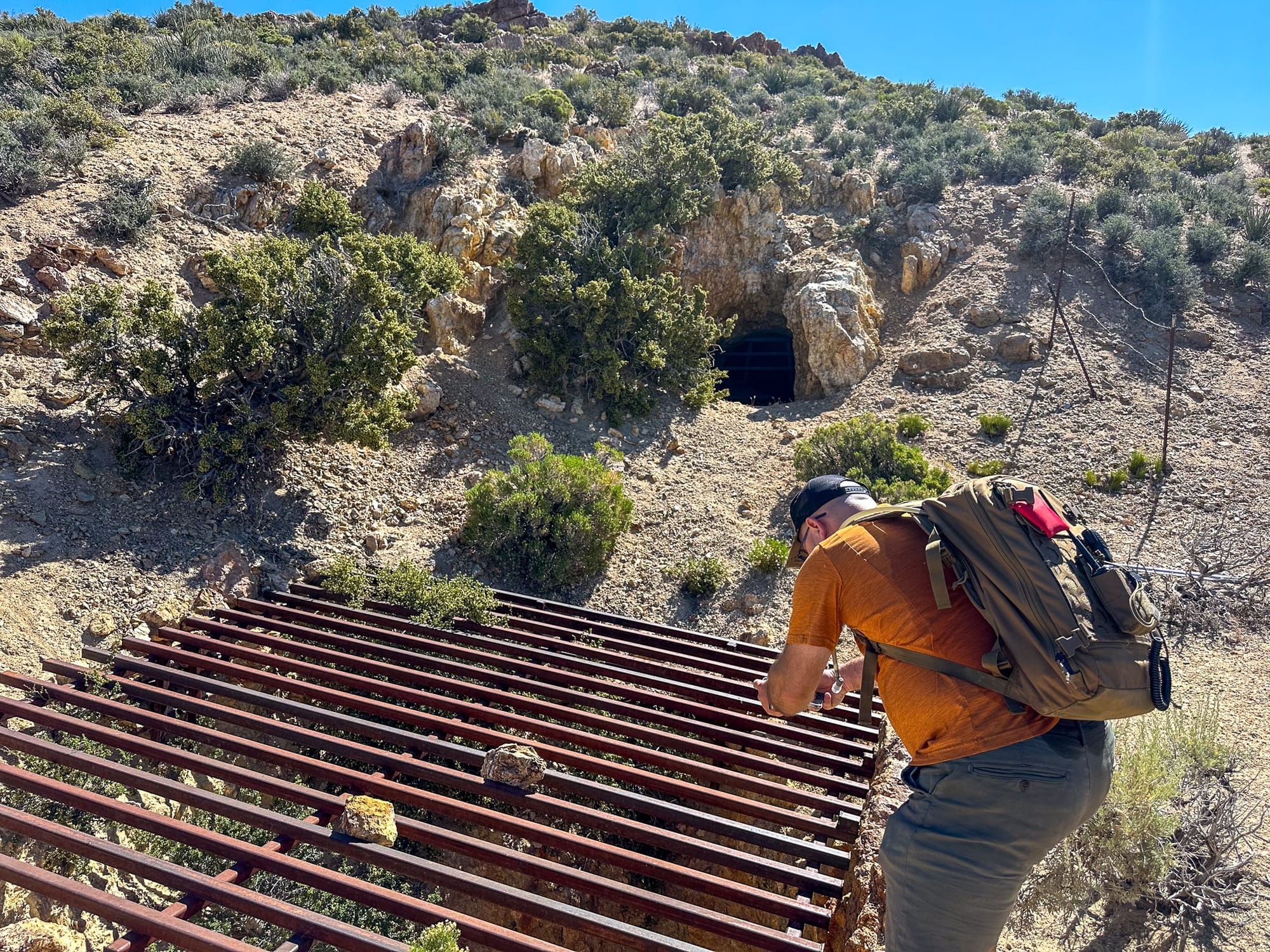
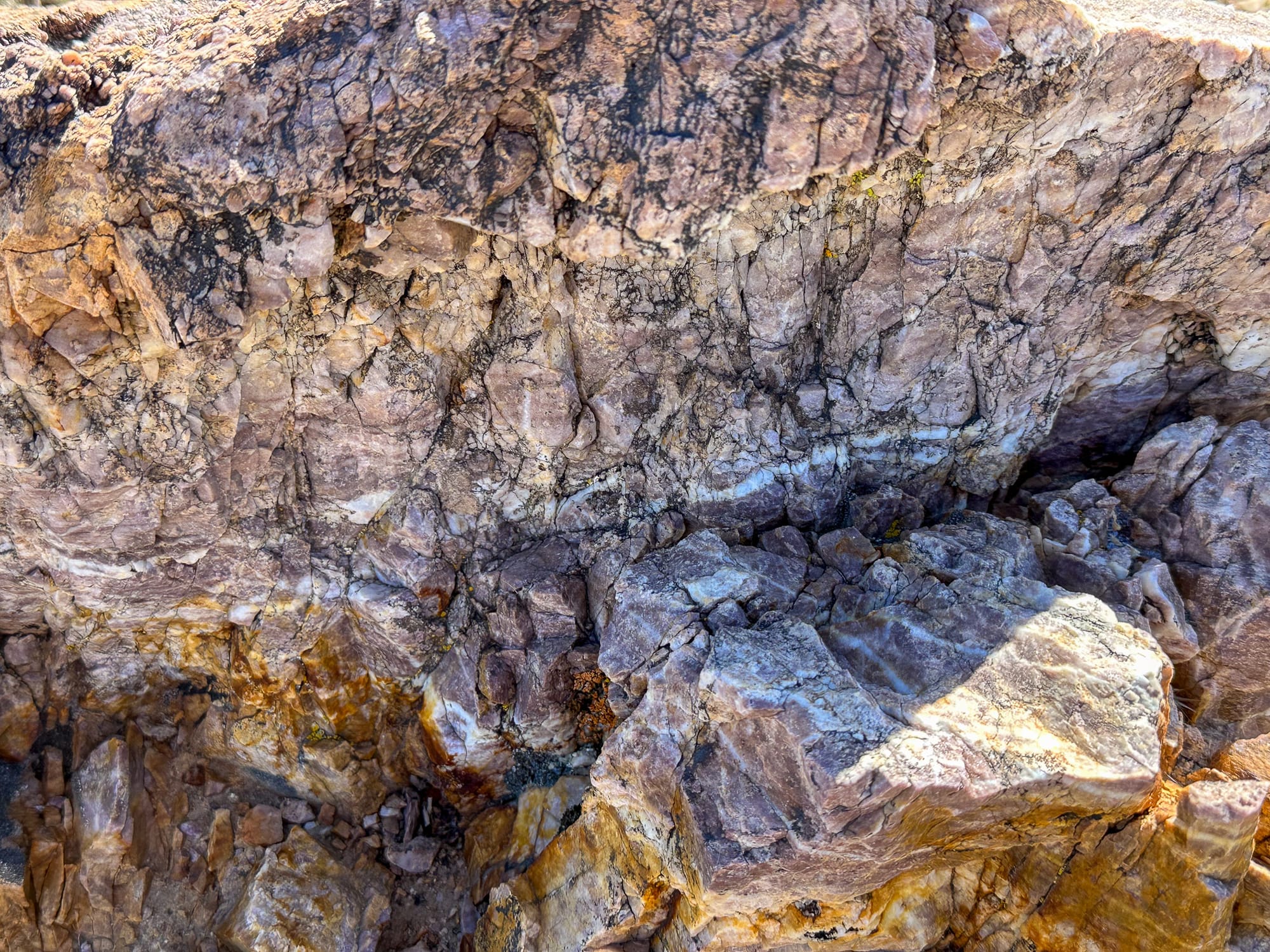
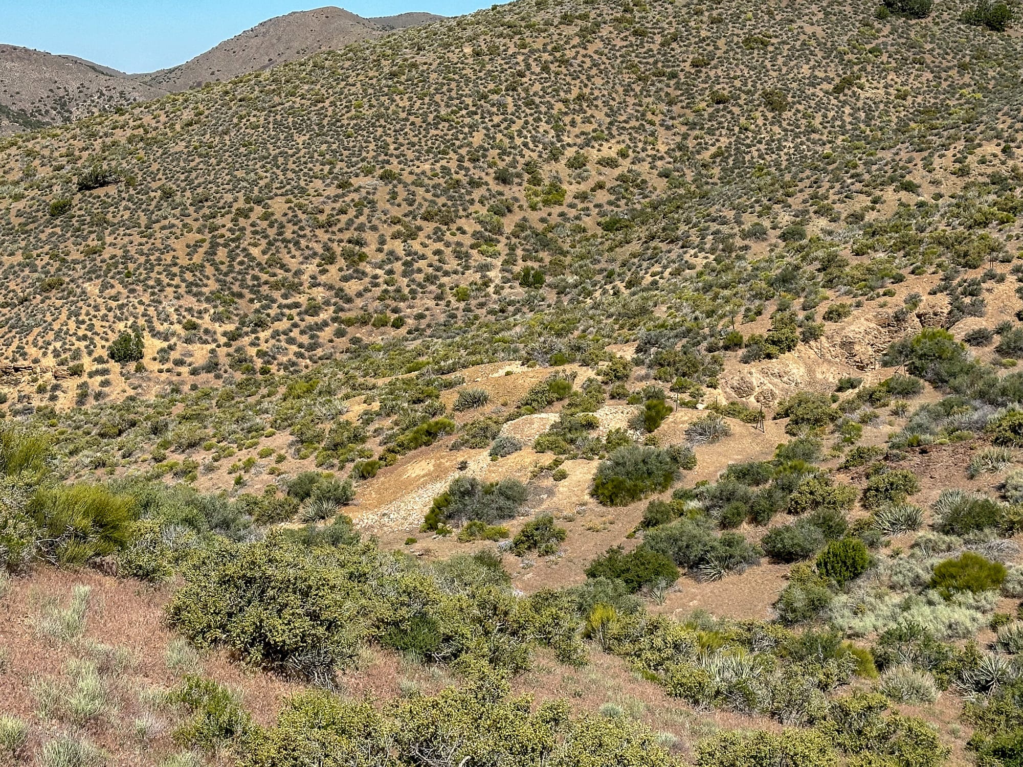
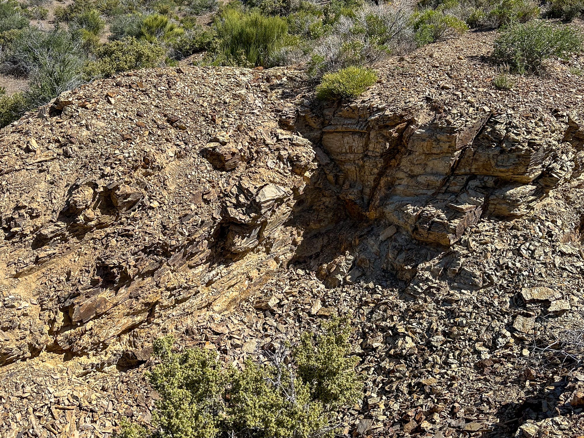
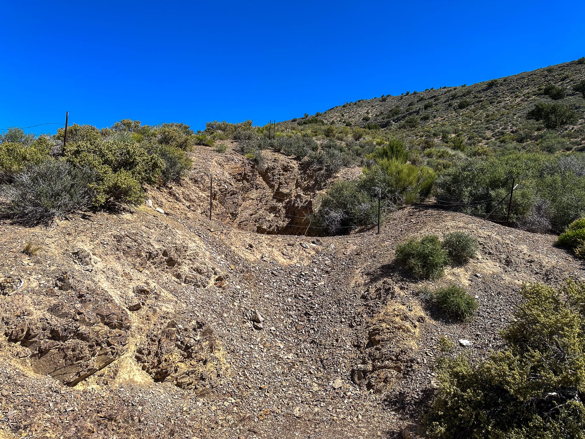
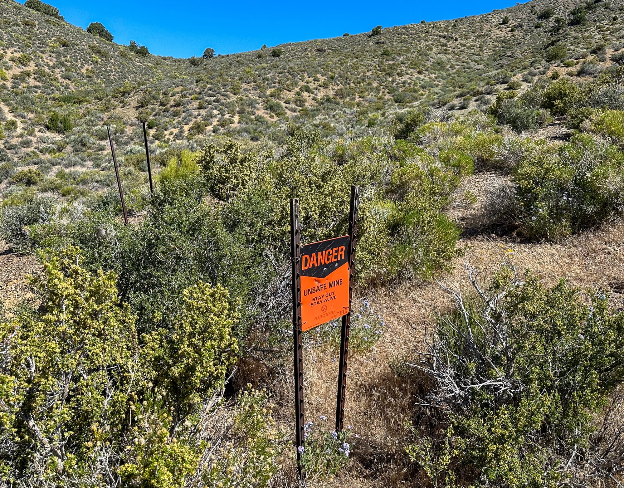
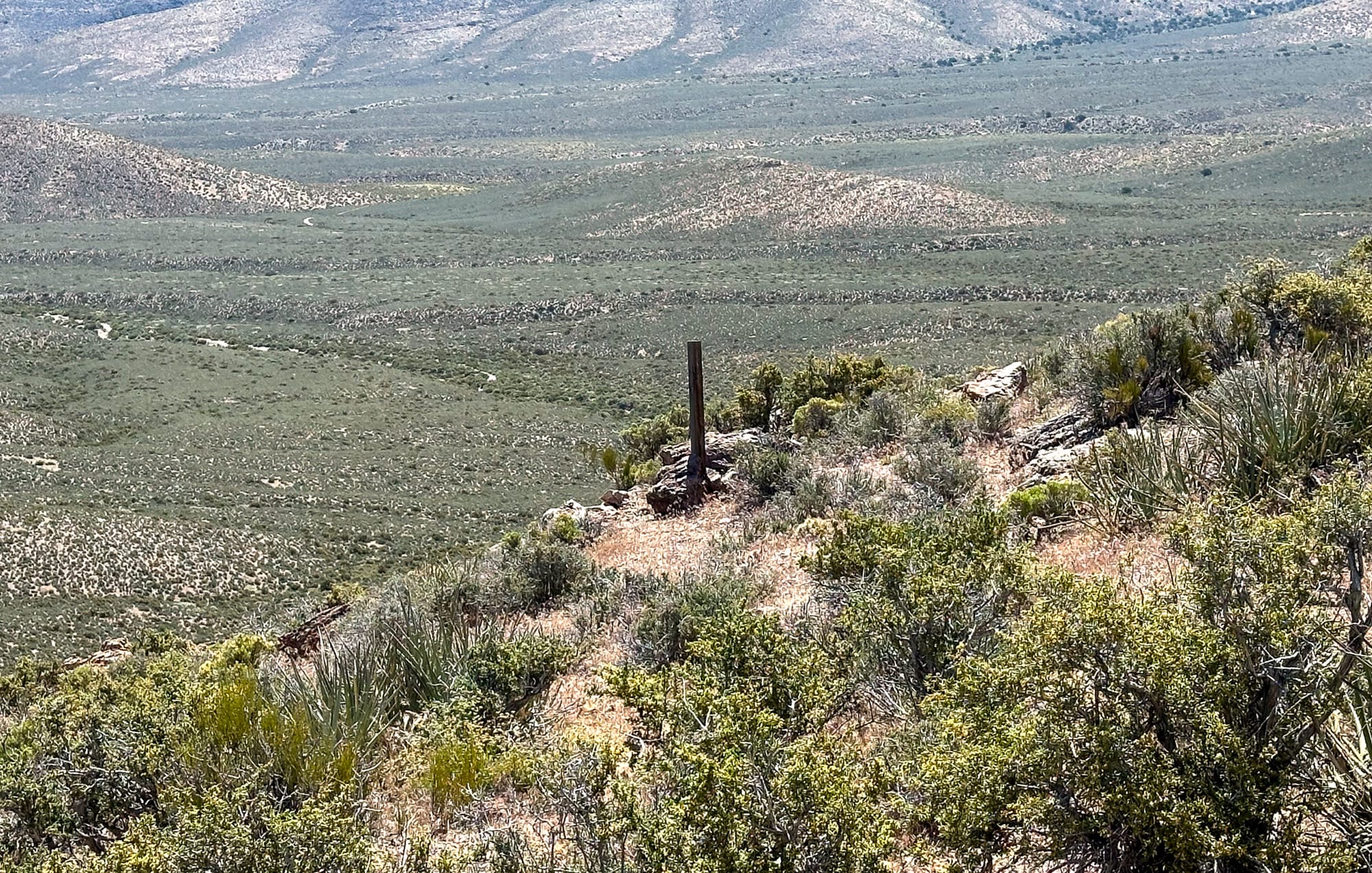
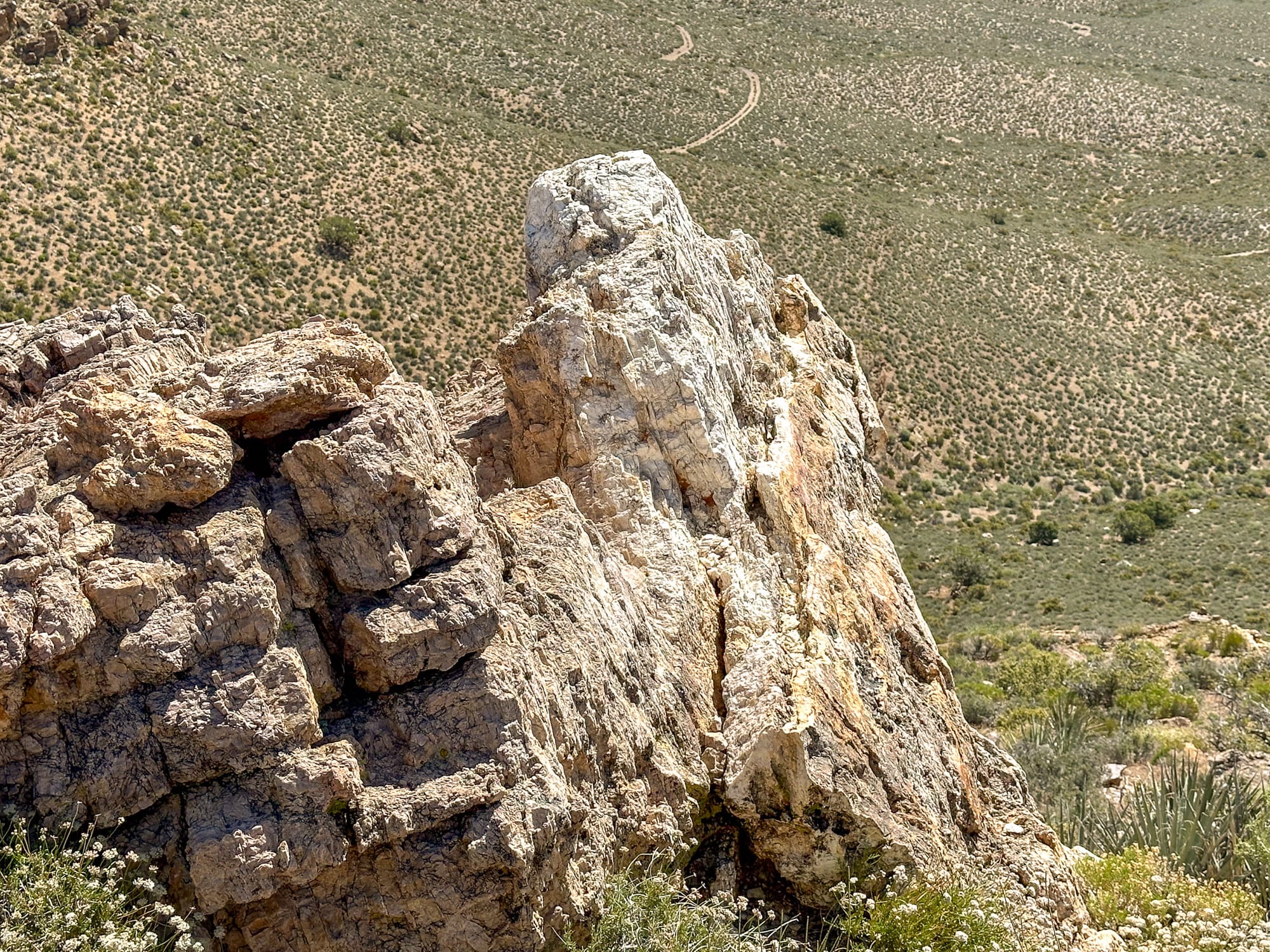
Eventually we arrived at the Stirling Mine site. The dump hangs precipitously off the hillside and would have been very convenient for the miners since they wouldn't have had to manipulate the waste rock much. In the lower right you can see the bat gate sealing the shaft. The photo on the lower left is an example of the quartzite that makes up the area around the mine.
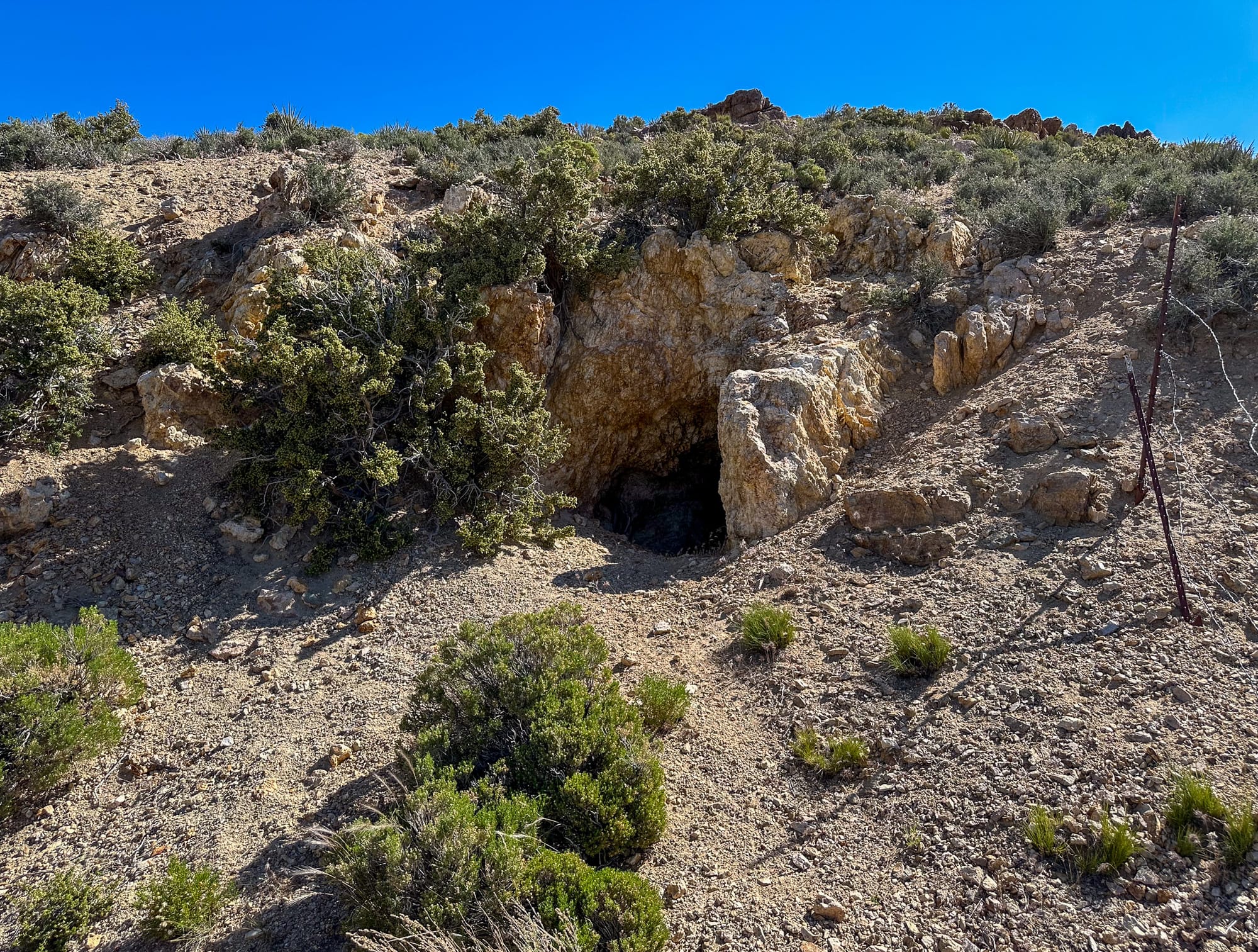
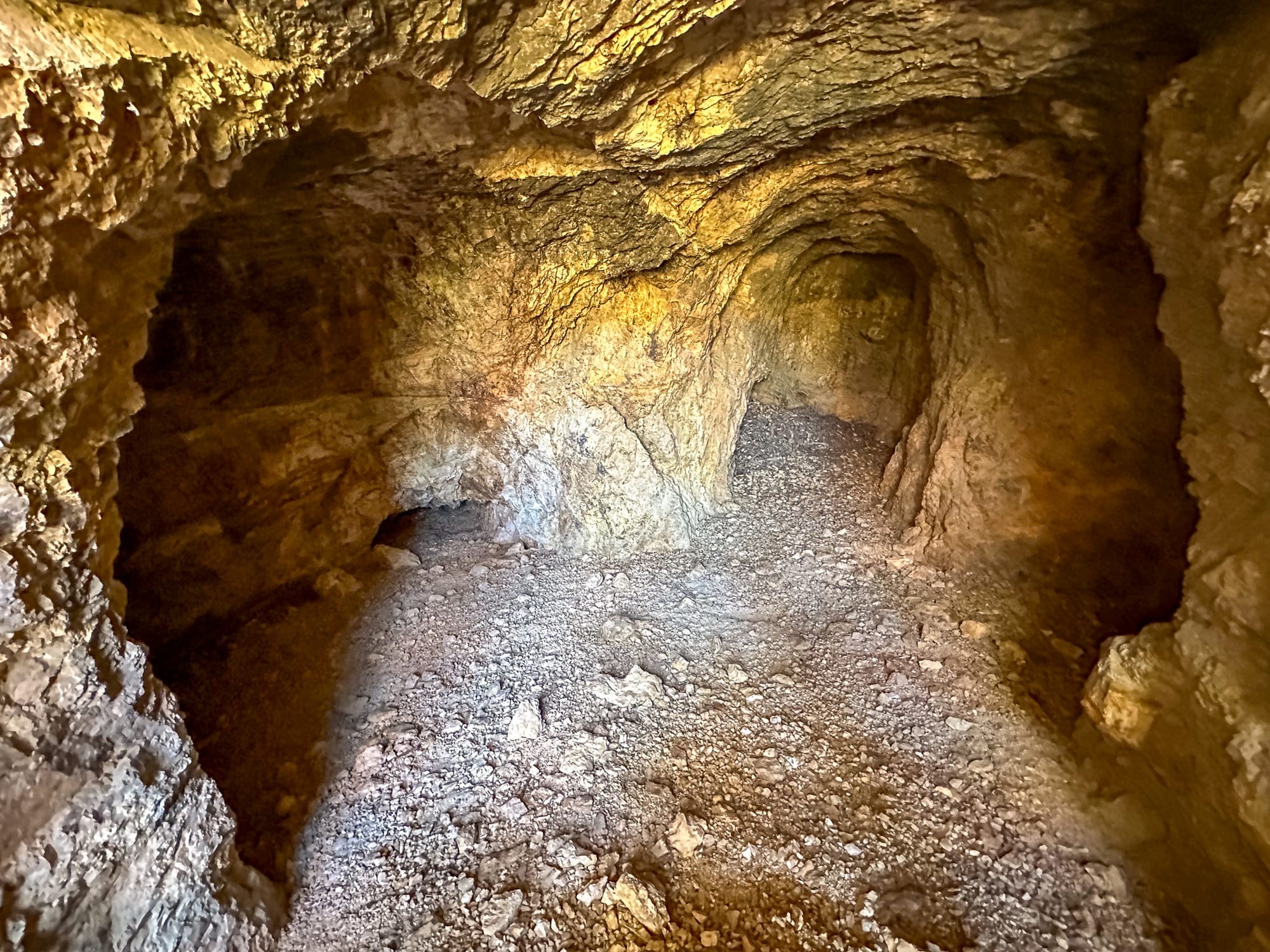
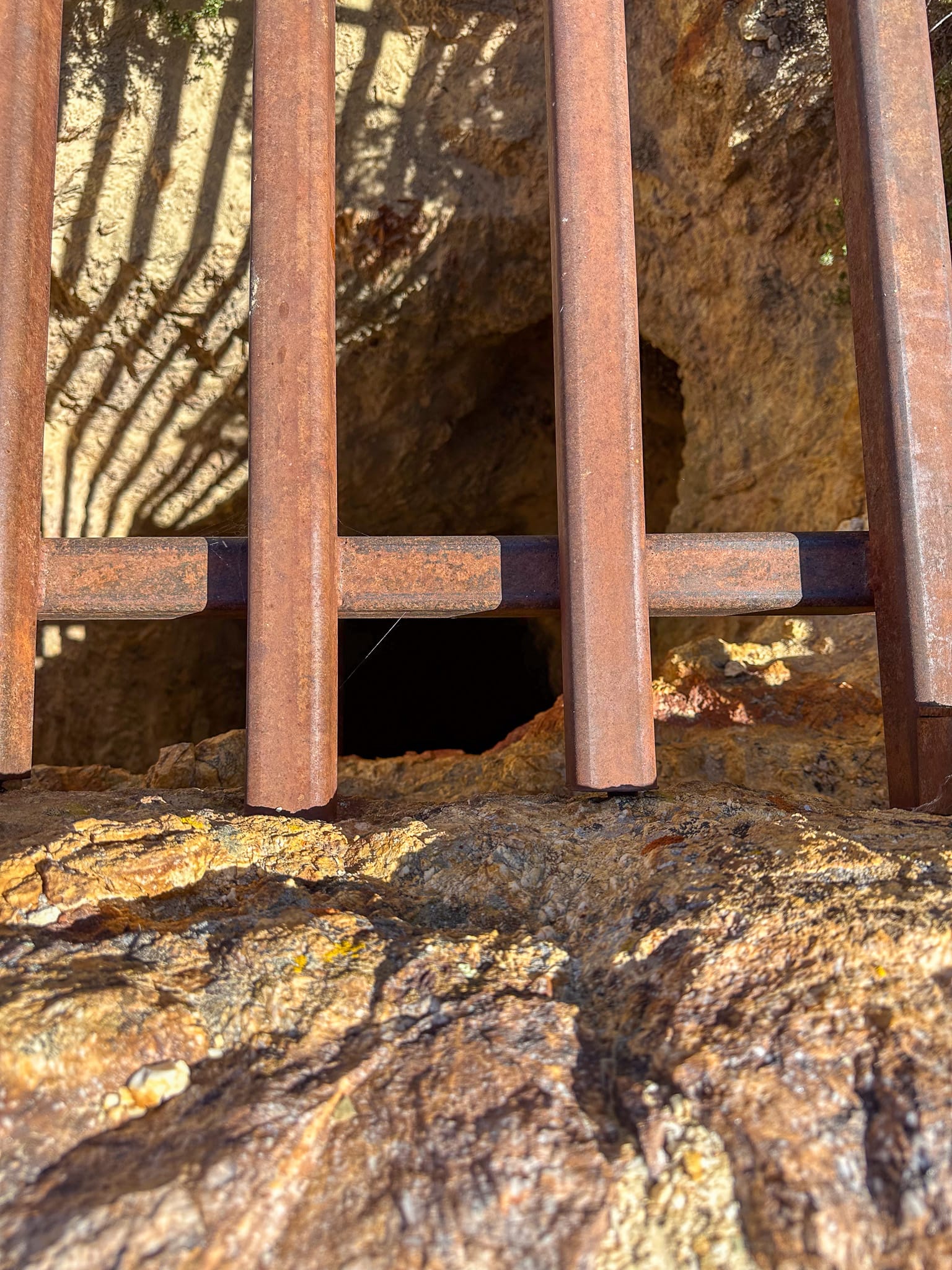
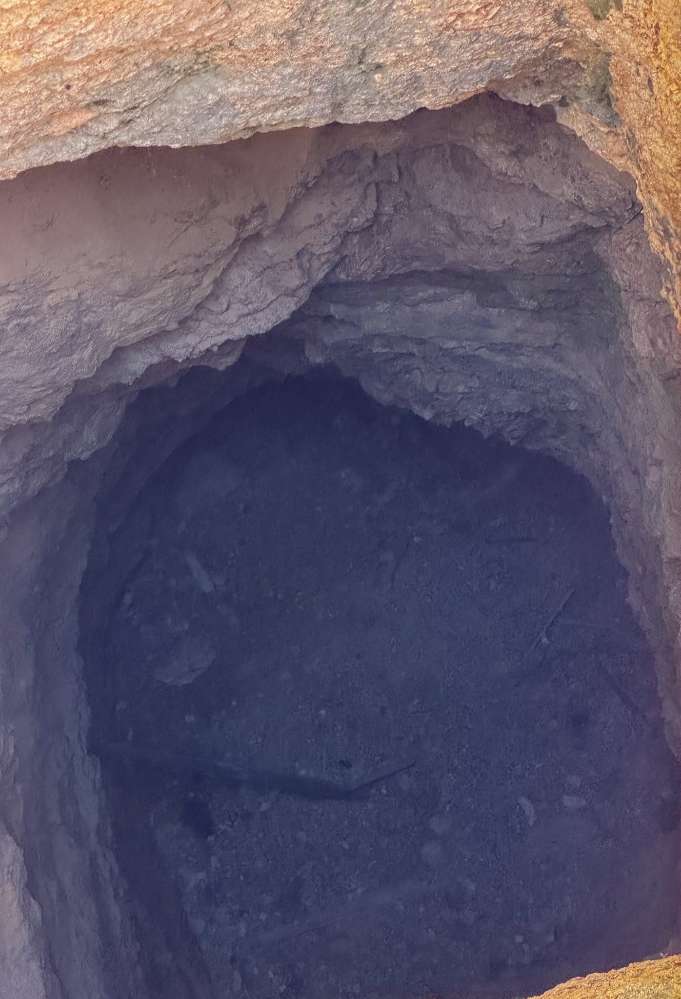
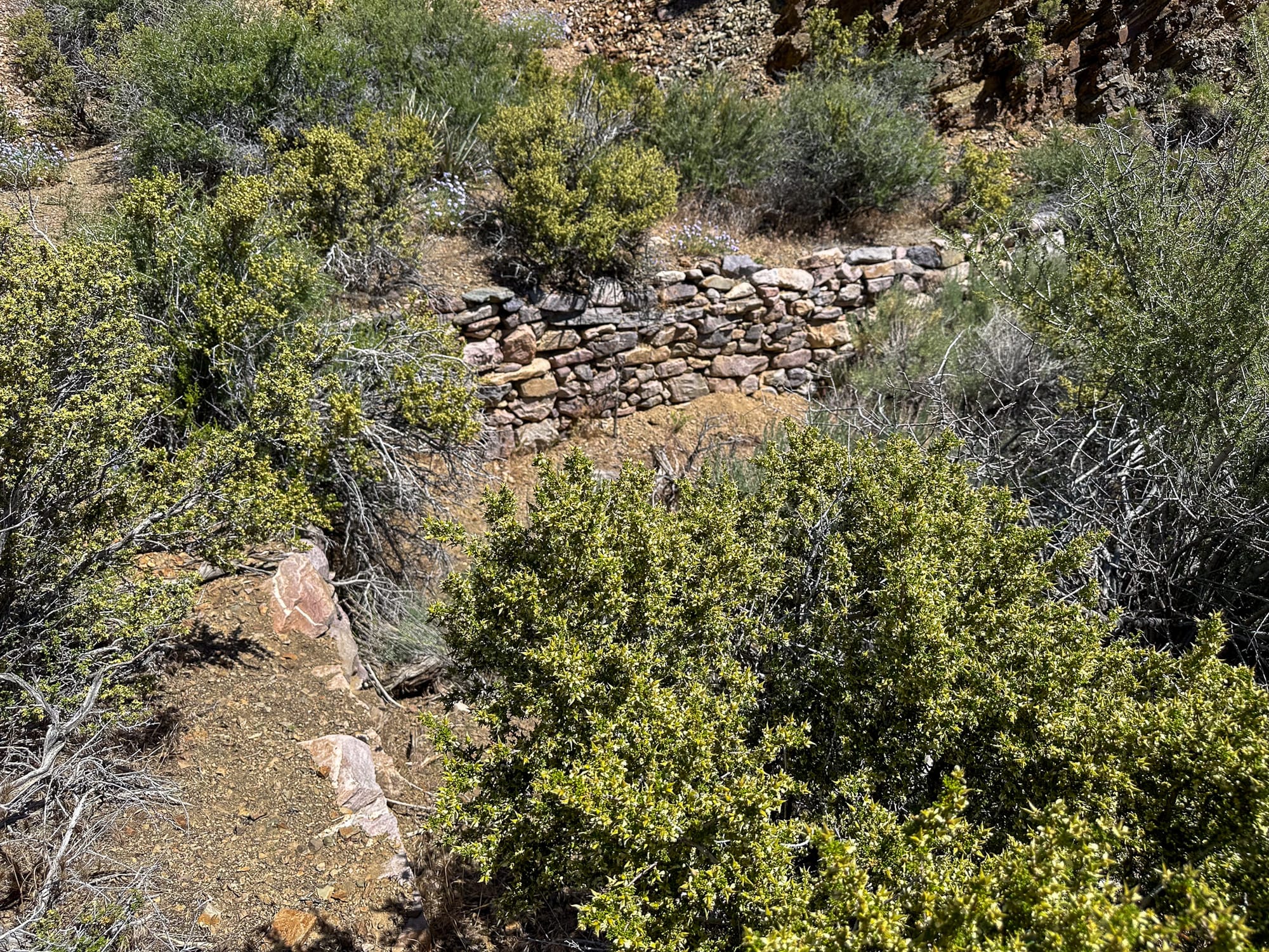
To the right of the shaft there is a short adit with some drifts off it. Looking down the shaft, which is supposed to be around 100' deep, didn't seem to be that deep. We did a rock drop test and the thud it made indicates there is a false floor around 50' down.
North of the main mine site is the Bunker Stone No. 1 Claim. This the MRDS for this claim indicates it was a copper and uranium prospect. There was very limited copper staining and we didn't have our Geiger counter with us so can't validate if there was any scintillation.

The final prospect we visited was the Best View Prospect. It had a great view as advertized!
USGS MRDS: Stirling Mine
USGS MRDS: Bunker - Stone No. 1 Claim
Madrid, Raul J.,, and Geological Survey (U.S.). Mineral Resources of the Mt. Stirling Wilderness Study Area, Clark and Nye Counties, Nevada. Department of the Interior, U.S. Geological Survey, 1987.
Labbe, Charles. Rocky Trails of the Past the author, 1963.