The Gunsight or maybe Apex Consolidated Mine, Inyo County, California

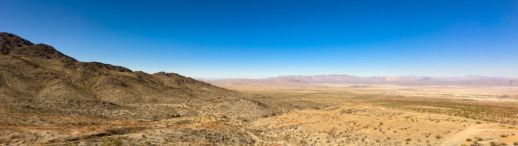
Nestled near the town of Tecopa, California, the Gunsight Lead-Silver Mine, also known as the Apex Consolidated Mine, sits within the rugged Kingston-Resting Springs Mining District. This historic site, now part of the Kingston Range Wilderness, played a modest but vital role in the region’s early 20th-century mining boom, offering a glimpse into the area's rich geological history.
A Brief History of the Gunsight Mine
The Gunsight Lead-Silver Mine was active from 1912 until 1928, producing lead and silver primarily, with copper, gold, and zinc extracted as secondary commodities. Despite its small production size, the mine's significance lies in its contribution to the overall mining landscape of the time, operating alongside the Apex Mine as part of the Shoshone Mine group.
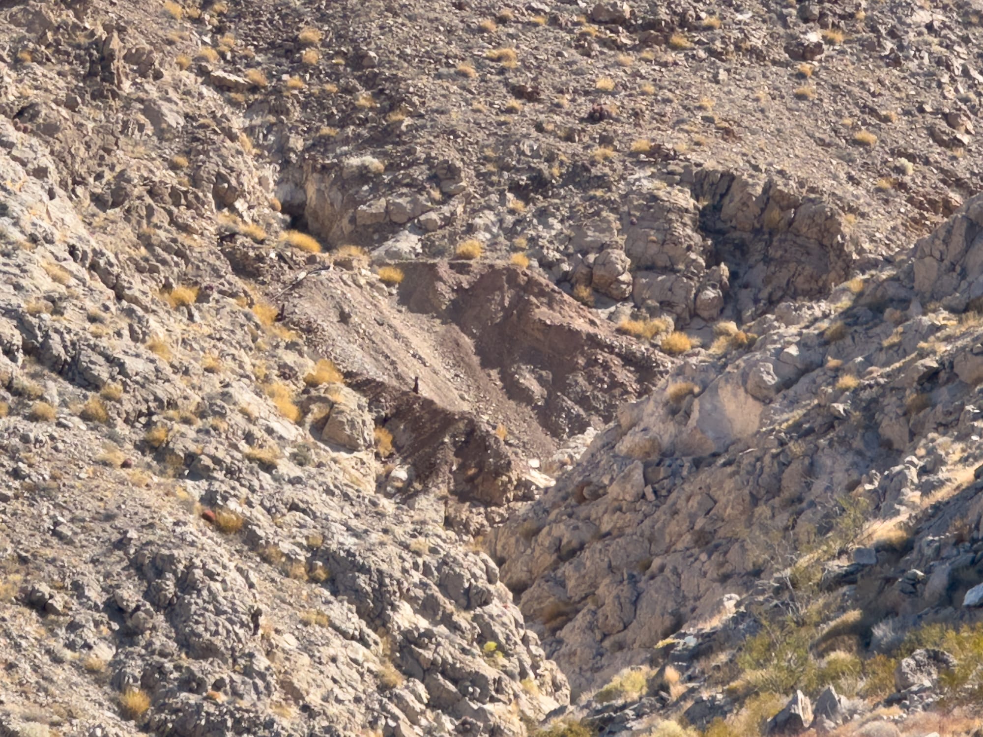
What sets this mine apart is its ore body, which is primarily composed of galena (lead ore) and had a lenticular or lens-shaped form. The exact size of the ore body remains unclear, but its geological surroundings provide key insights. The host rock is primarily dolomite, and the mine’s placement within the Great Basin region of the Intermontane Plateaus showcases the geological richness of the area.
The Geology Behind the Mine
The mine's geology is notable for its location in the Basin and Range Province, a region characterized by its series of fault-block mountain ranges. The ore deposits at the Gunsight Mine were found along fissures, and the area shows evidence of significant geological shifts, including N-S trending faults dipping between 35-55 degrees west, which displaced ore bodies by up to 30 feet.
The surrounding dolomites, underlain by Algonkian shales and conglomeratic sandstones, further illustrate the area's ancient geological history, which continues to draw the attention of geologists and mine explorers today. This combination of geological features made the Gunsight Mine a target for lead and silver extraction during its operational years.
What's in a Name: Gunsight or Apex?
The Gunsight Mine’s identity has been the subject of some confusion over the years. Official records list the site as the Apex Mine or Apex Consolidated Group Mine, and some maps label it as Gunsight. The historical Shoshone Mine, which preceded both the Gunsight and Apex Mines, may have contributed to this name ambiguity. As the Shoshone Mine split into two separate operations, Gunsight to the north and Apex to the south, their shared infrastructure likely led to the confusion surrounding their names.
Today, the site is often referred to interchangeably as Gunsight or Apex, but according to official records from the USGS, Bureau of Mines, and the Mineral Resource Data System, the mine closest to the name Gunsight is located slightly north of the Apex Mine. Both sites, though, stand within close proximity to each other.
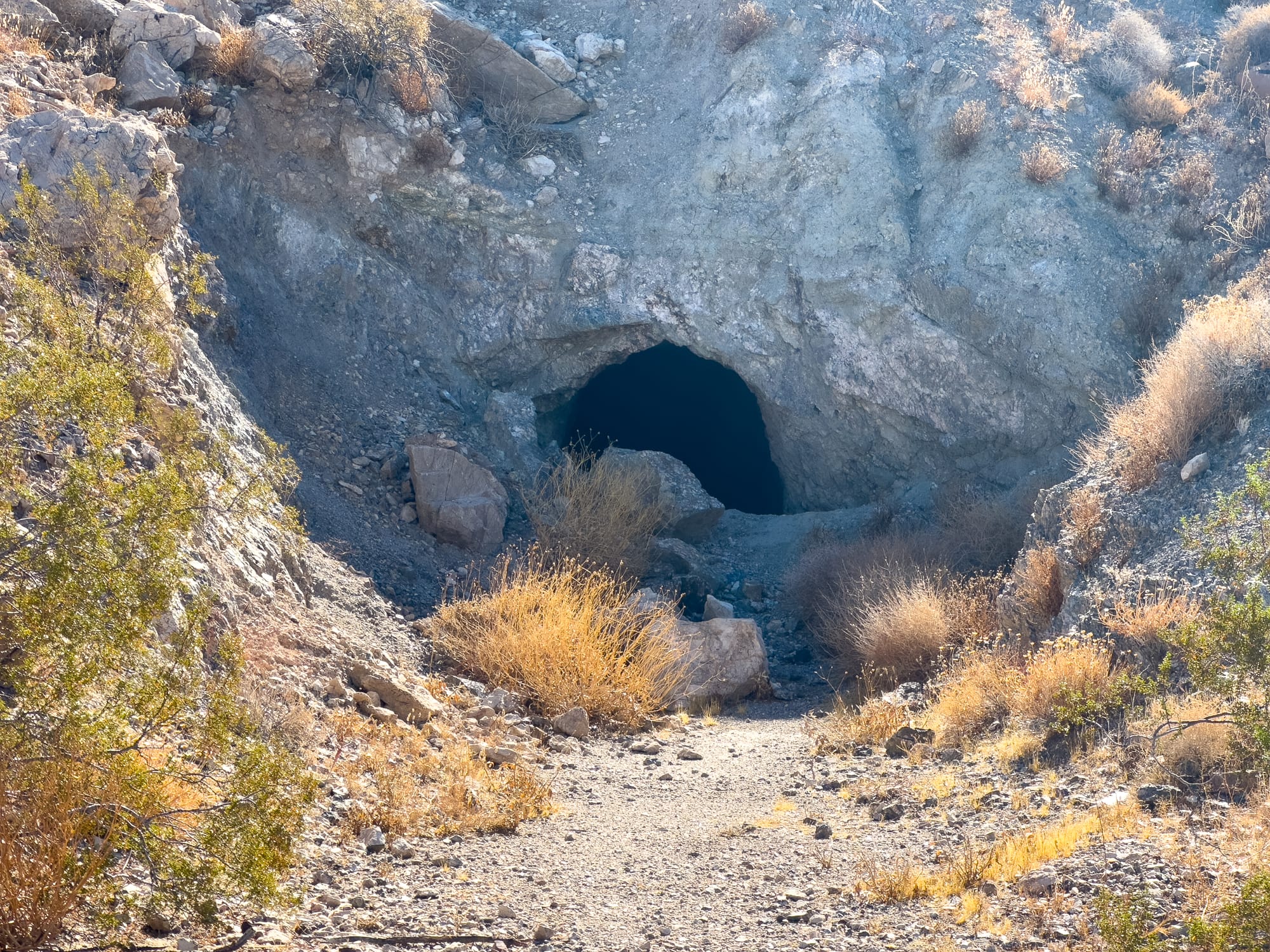
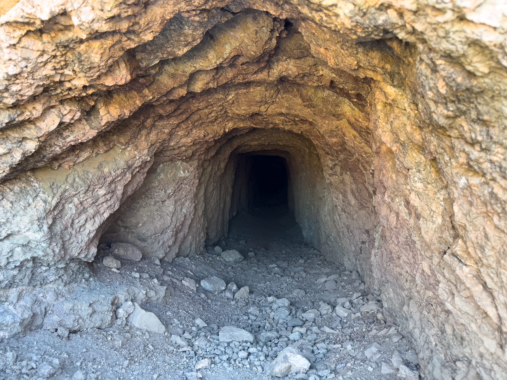
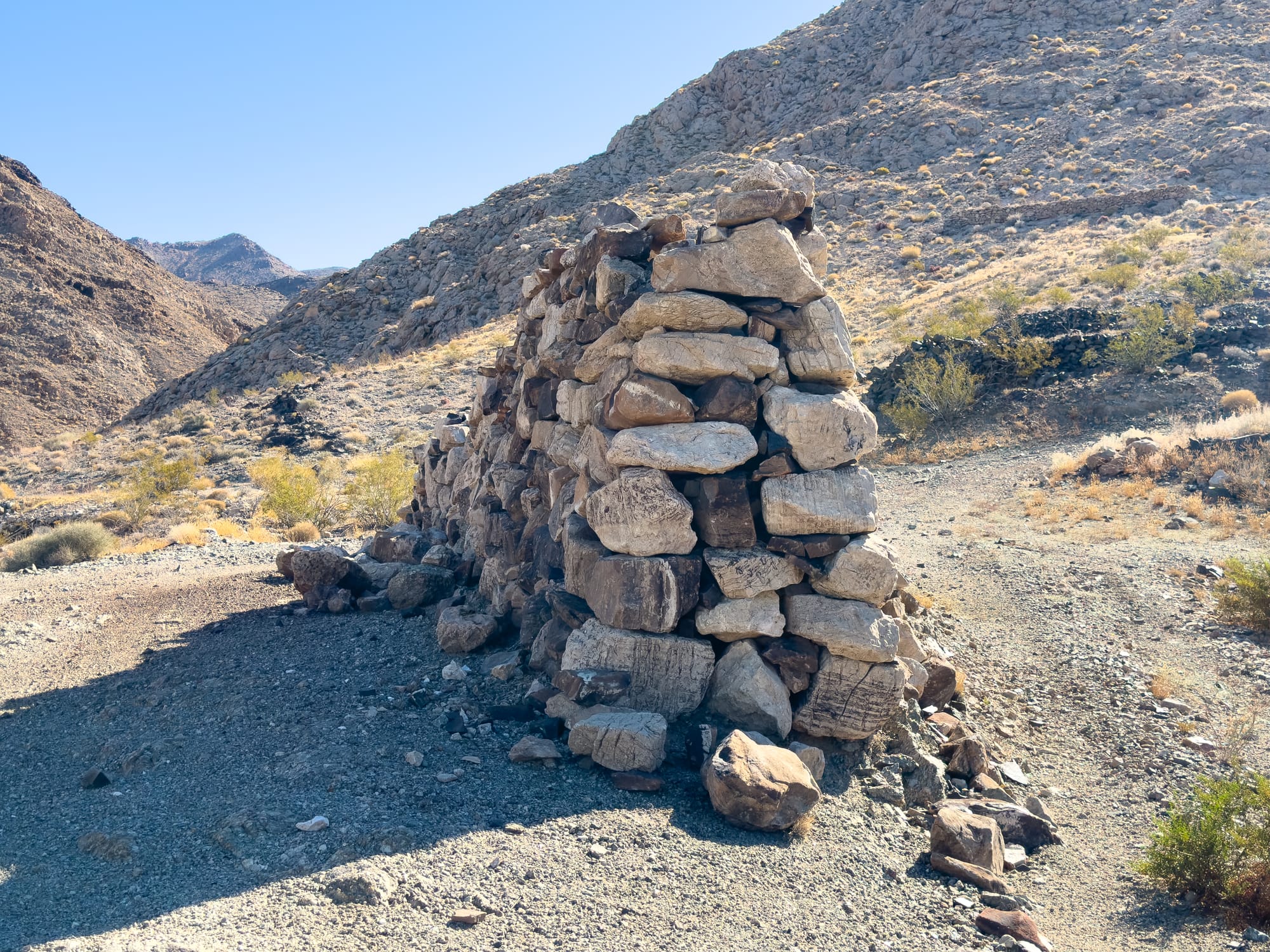
Relics of the Past
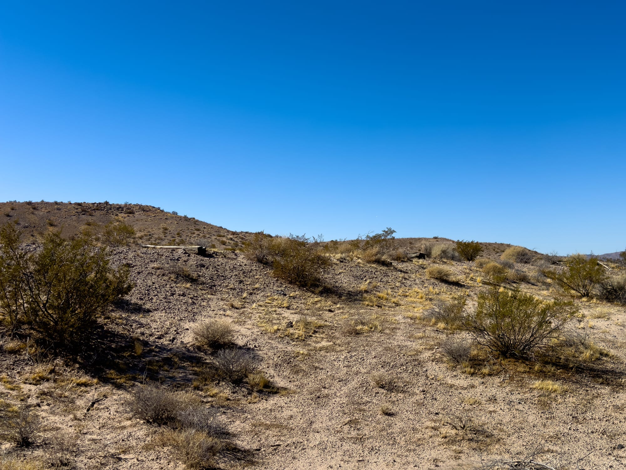
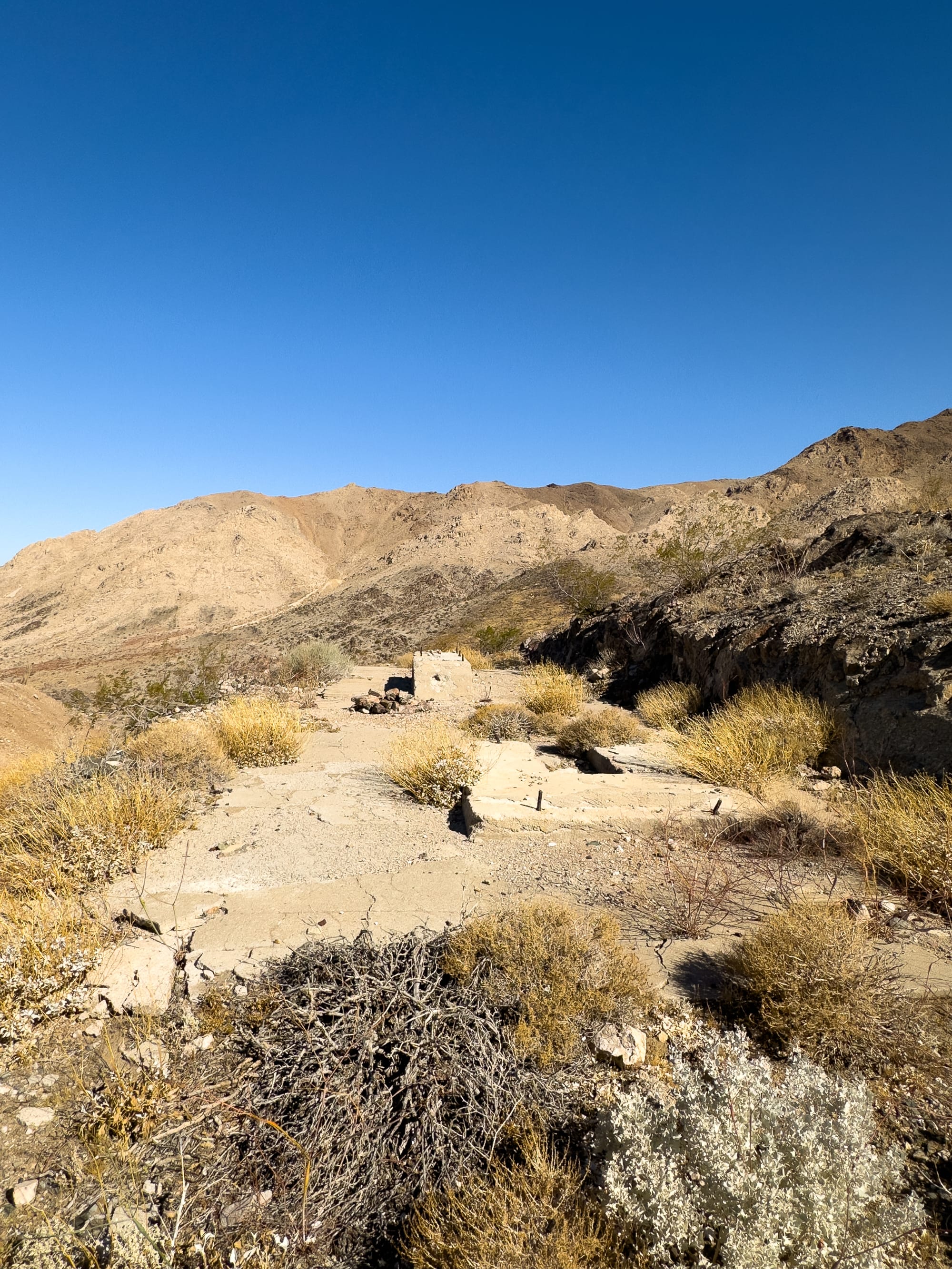
Despite being long-abandoned, the Gunsight Mine still holds relics of its past. The site features several thousand feet of underground workings, and remnants of the cabin and ore box remain surprisingly intact considering their age.
Conclusion
Though the Gunsight Lead-Silver Mine ceased operations nearly a century ago, its legacy lives on in the arid landscape of Tecopa, California. It remains a testament to the era of mining that shaped much of the American West, especially in areas like the Kingston Range. For those interested in the history of mining, geology, or simply exploring the wilderness, the Gunsight Mine offers a fascinating glimpse into the past—whether you call it Gunsight or Apex.
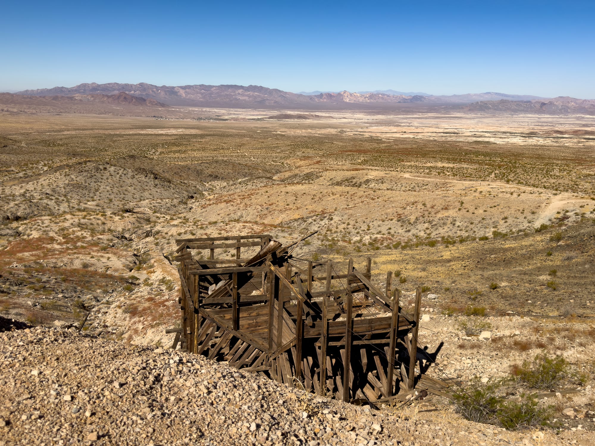
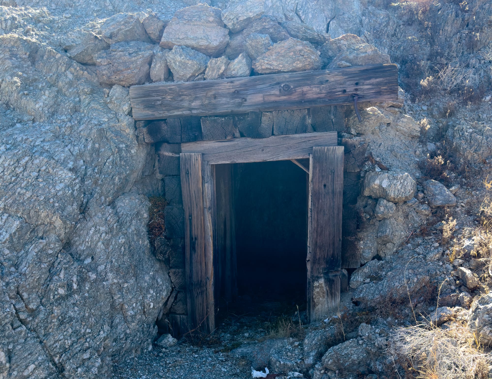
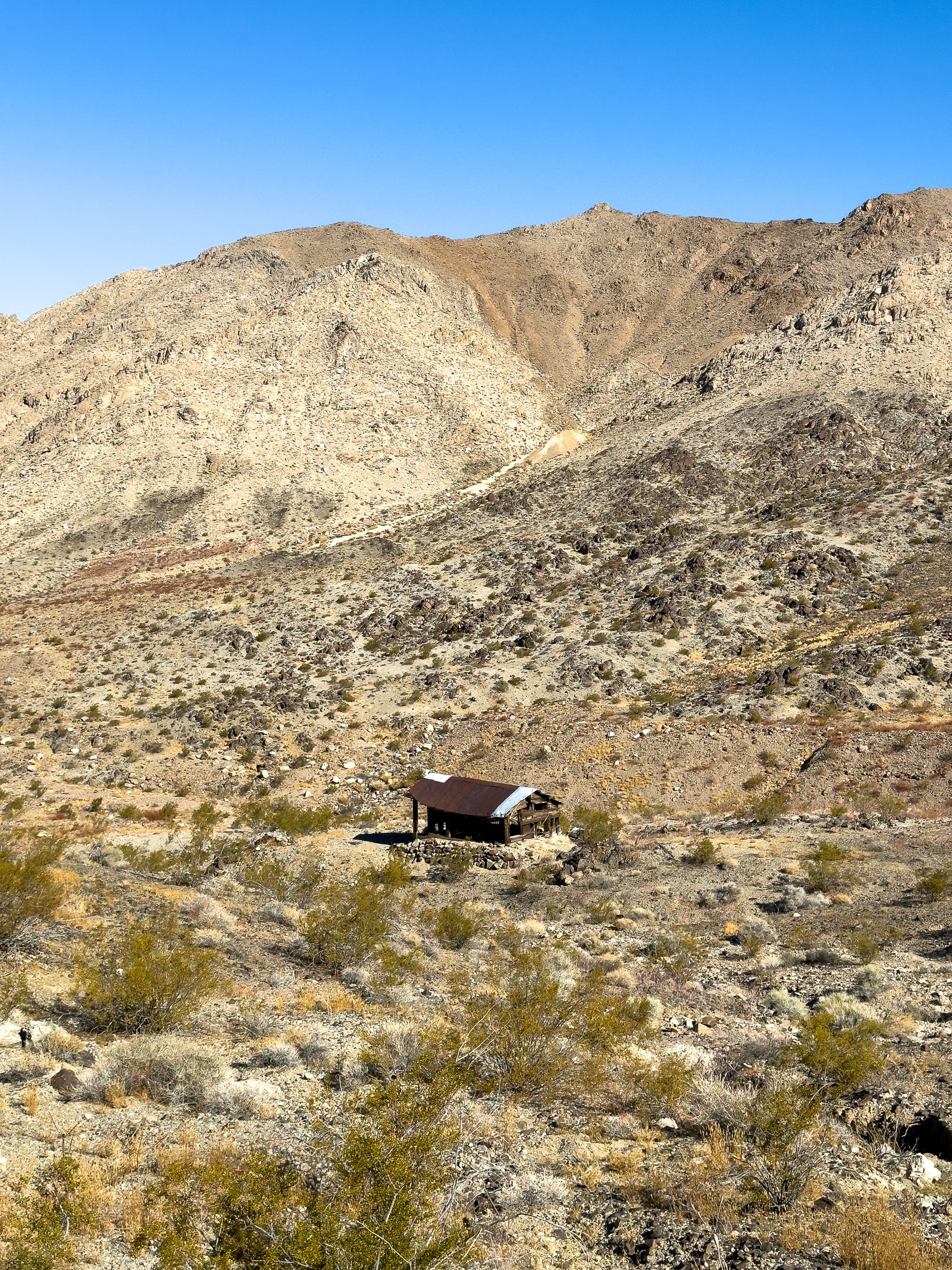
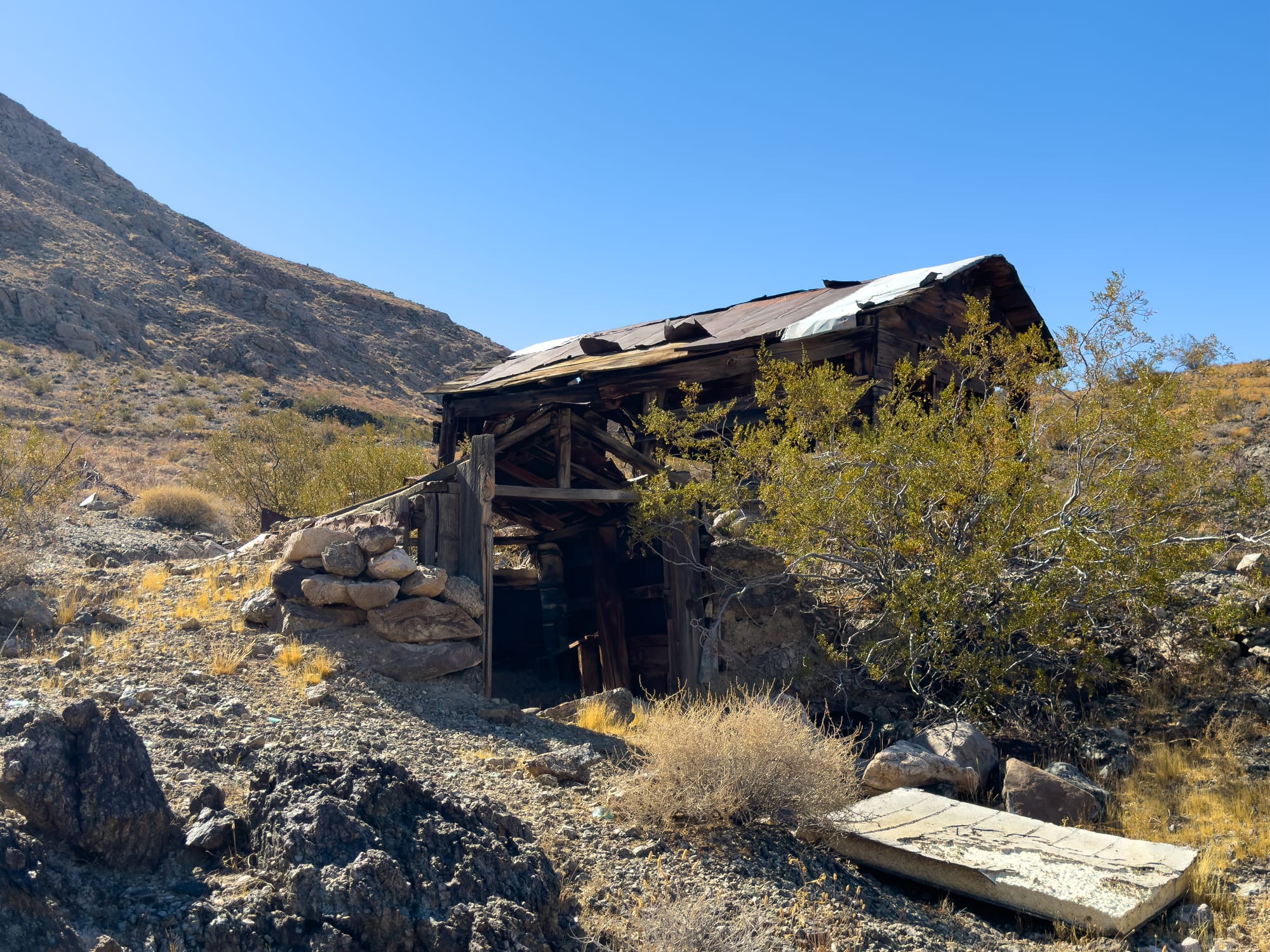

Close up on the cabin. It's in pretty good condition considering it hasn't been maintained since the 1910s.