The Baby Gauge Railroad

On this adventure, we explored the northern end of the Greenwater Range and the old "Baby Gauge" extension of the Death Valley Railroad.
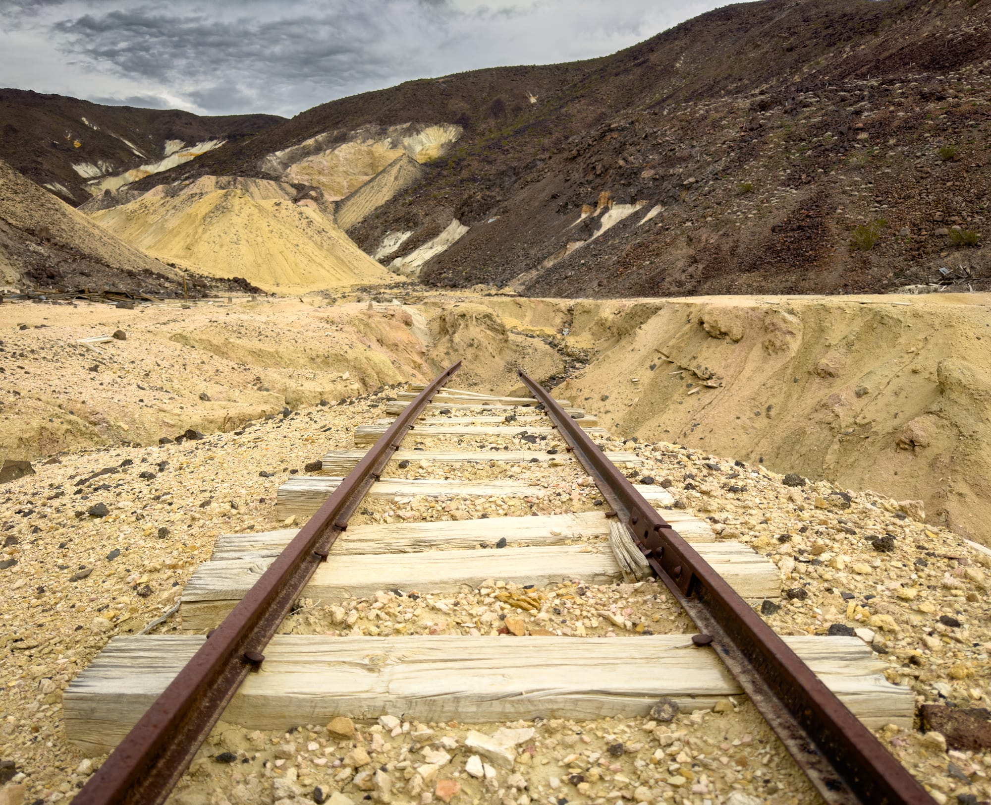
The "Baby Gage" Railroad was a 24-inch narrow gauge branch of the 36-inch narrow gauge Death Valley Railroad, which itself was a branch of the standard gauge (4 foot 8 1/2 inches in case you were wondering) Tonopah & Tidewater Railroad. Initially, the Death Valley Railroad was intended as a standard gauge branch of the T&T. However, due to the ongoing financial struggles of Francis "The Borax King" Smith and high debts on the T&T, Federal regulatory bodies refused to approve it. Thus, the Death Valley Railroad was established by the Pacific Coast Borax company to access new mining areas on the flanks of the Greenwater Range.
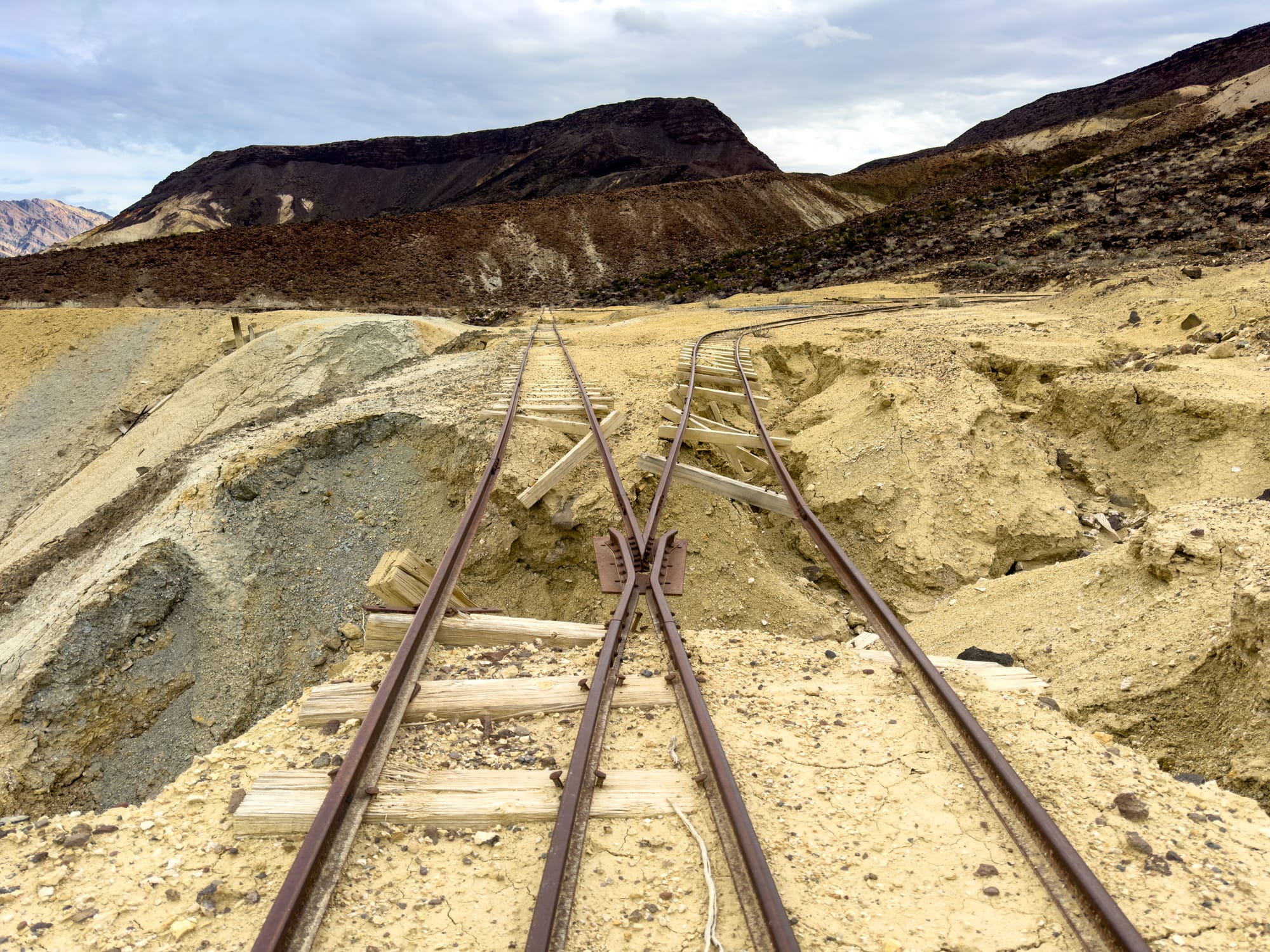
We intersected the Baby Gauge west of Ryan Camp where there was a wye to the Grandview Tunnel.
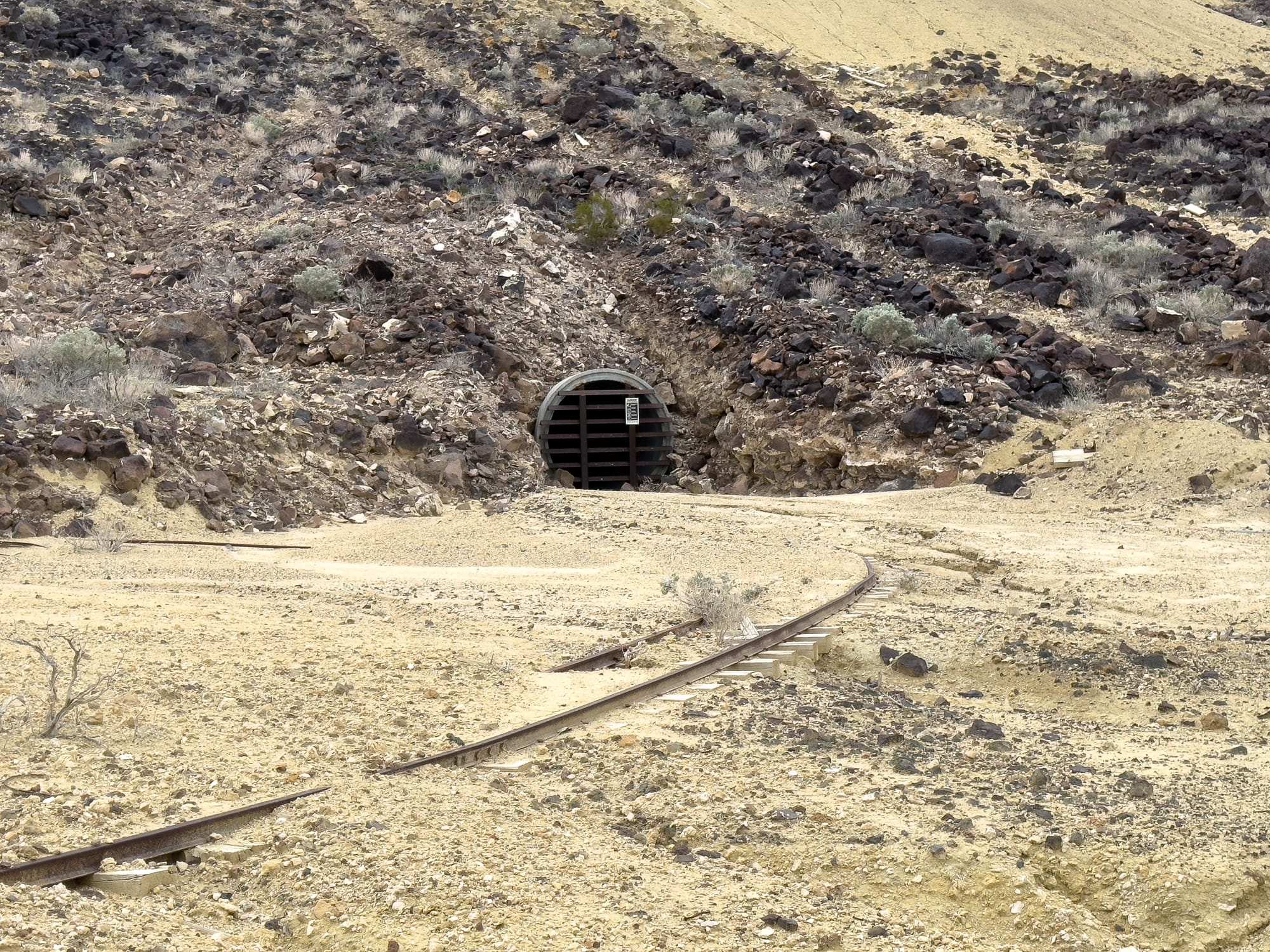
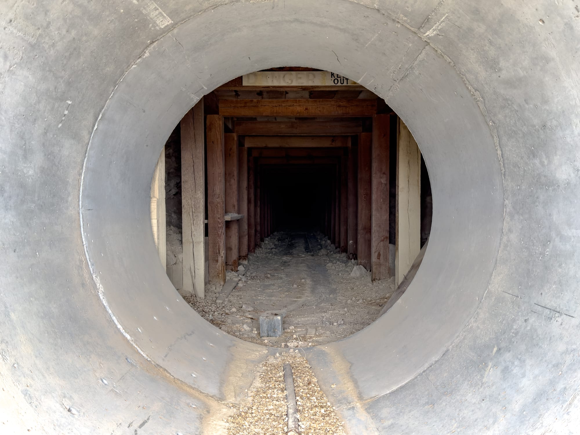
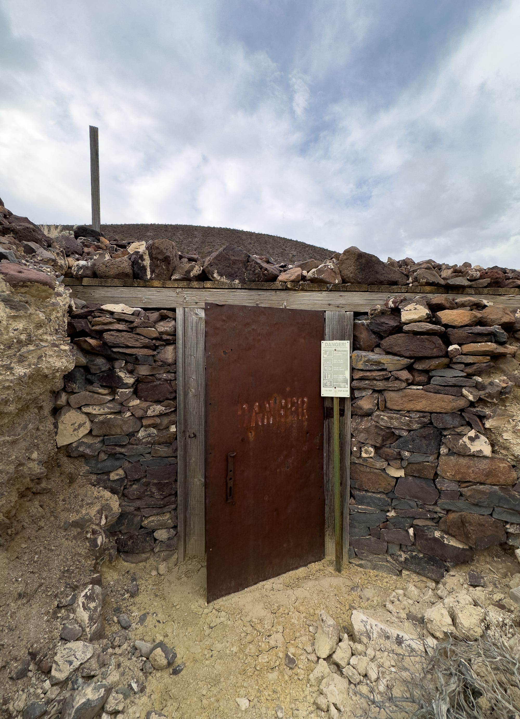
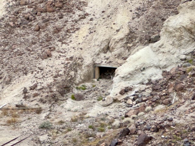
The north portal of the Grandview Tunnel has a bat gate and we later found the south portal to be completely collapsed.
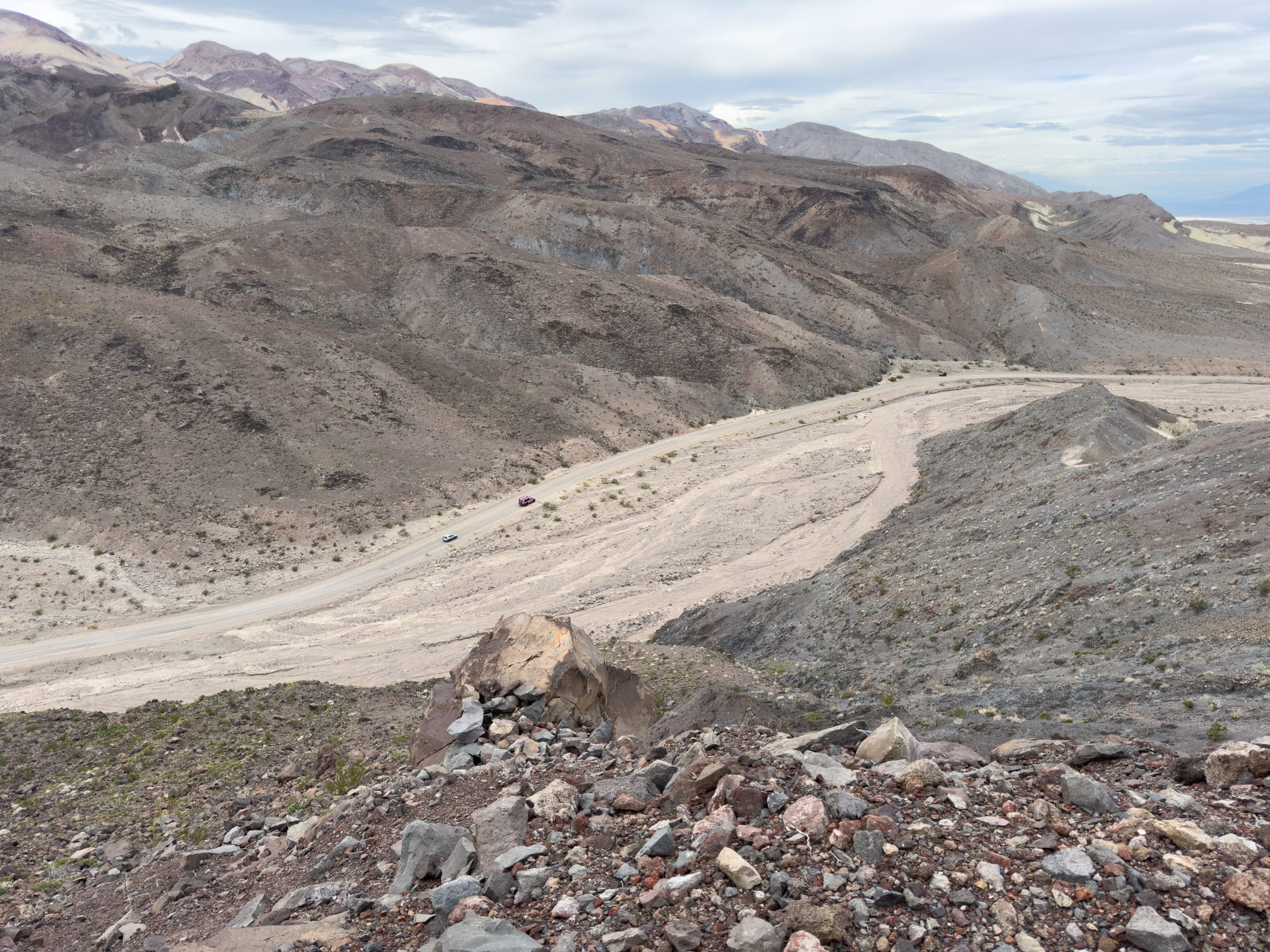
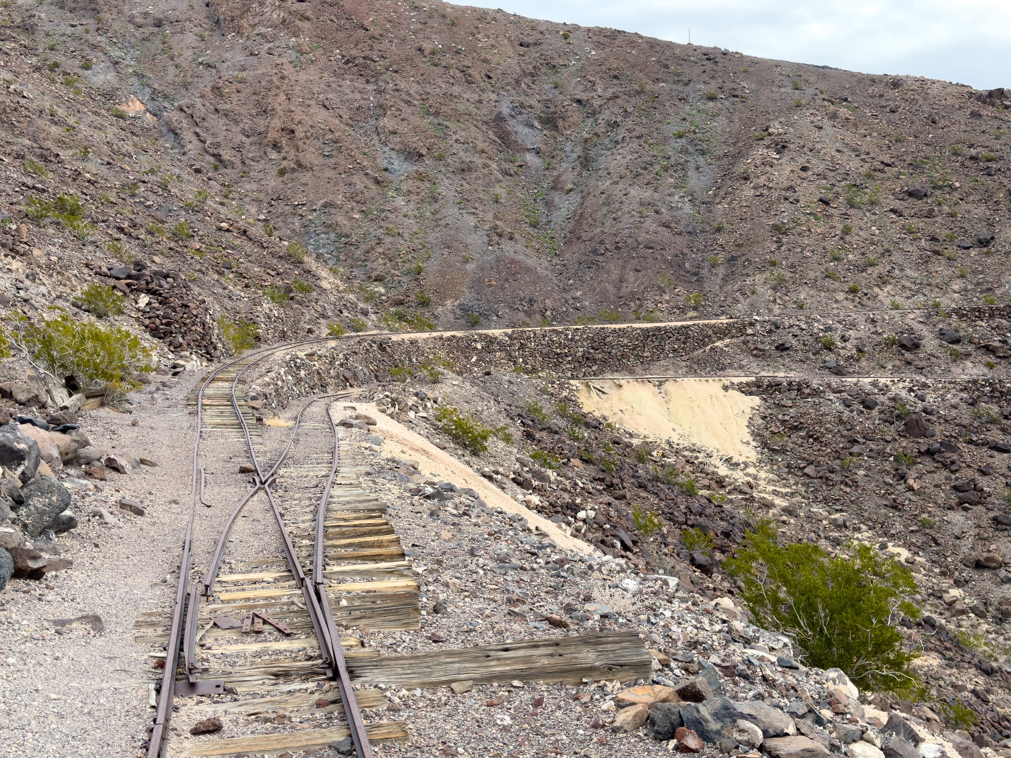
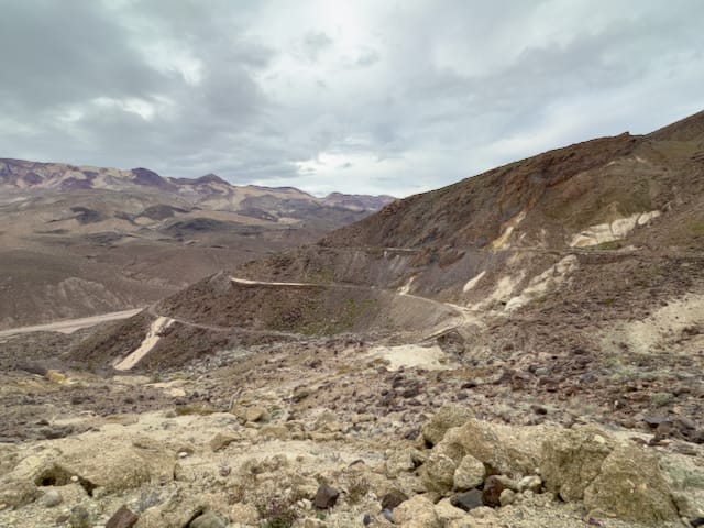
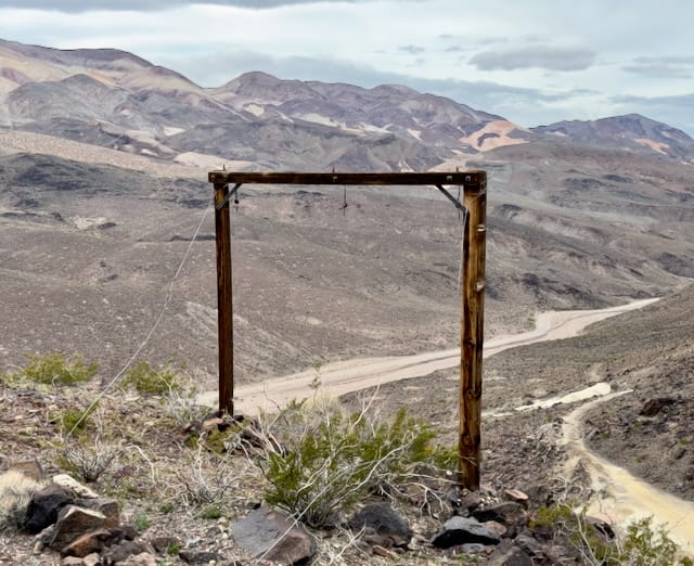
After leaving the Grandview Tunnel junction, we headed north-northwest along the tracks. The railroad was carved into the the side of the Greenwater Range at the 3,000 foot level. It gains about 200 feet over the 3.5 miles from Ryan to the Widow Mine at its terminus. There were actually three different levels of roadbed over the years, two of them still have rails intact, and one is just the old roadbed.
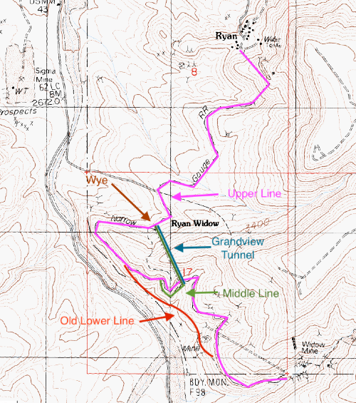
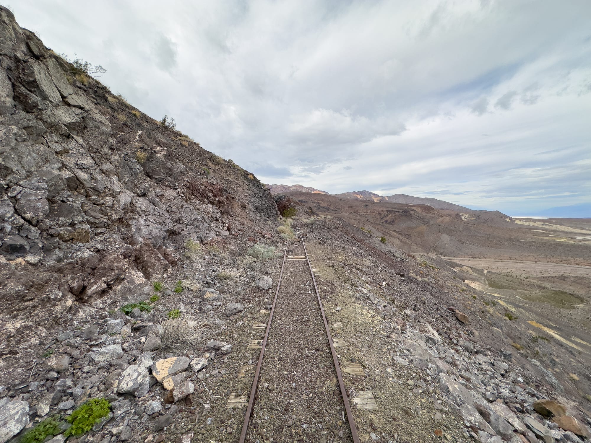
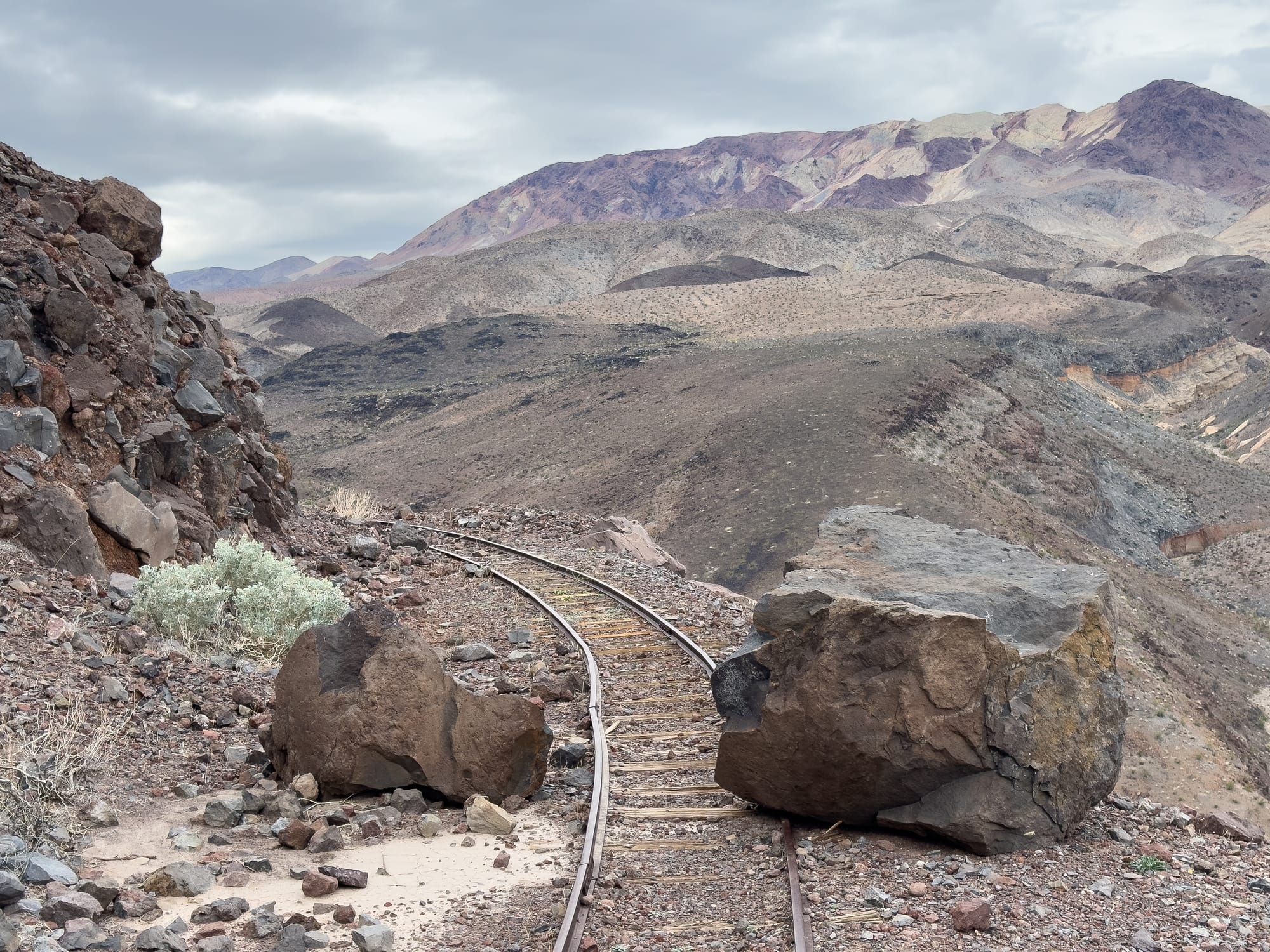
The tracks go to the tip of a north-south ridge before making a sharp turn back to the south where they travel parallel to Furnace Creek Wash, albeit 400 feet higher than it. As they travel south the old lower roadbed and the middle tracks fork off from the upper tracks.
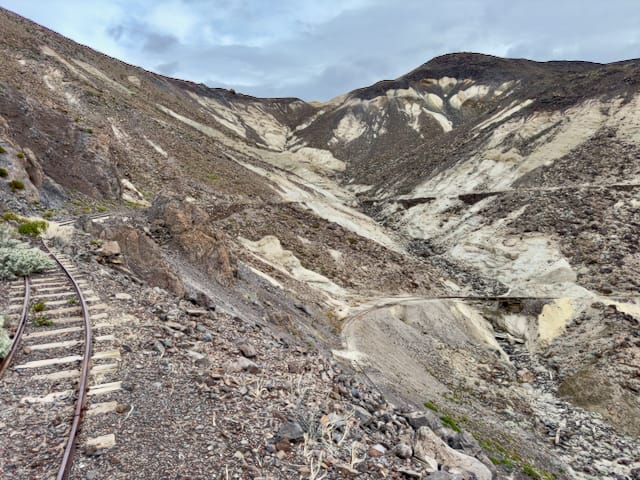

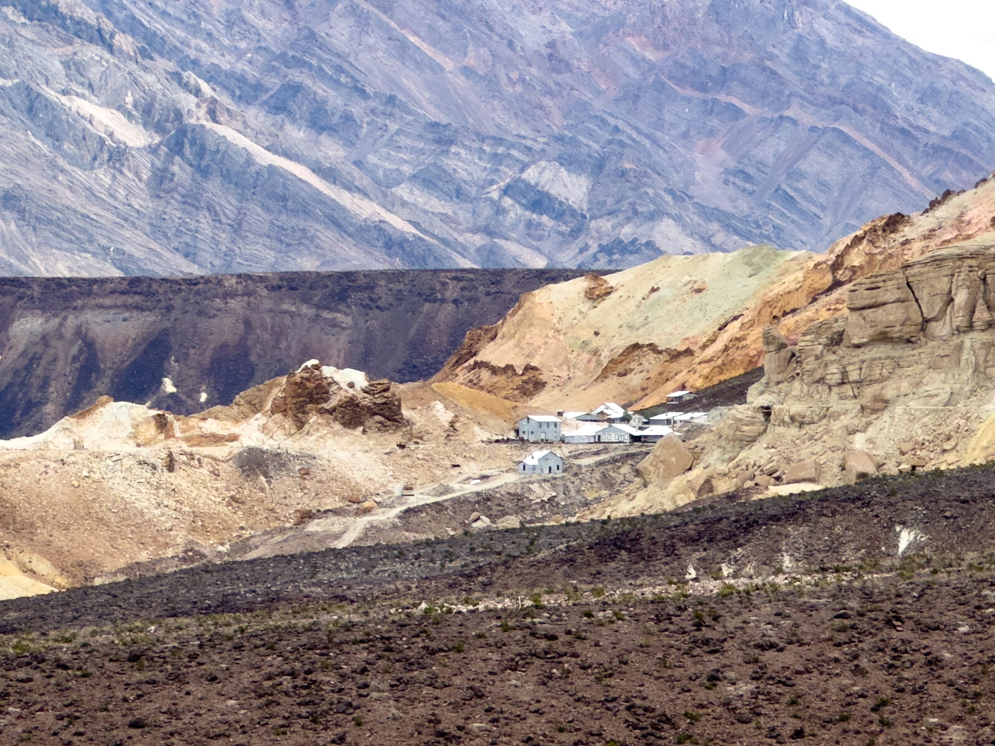
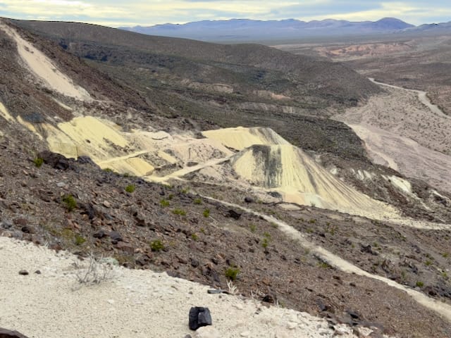
Traveling further south past the old Grandview Mine, the next turn brings the Lizzie V. Oakley Mine into sight. The Lizzie operated from around 1915 until the the late 1920s and the waste rock piles remain as a testament to the amount of material removed from it.
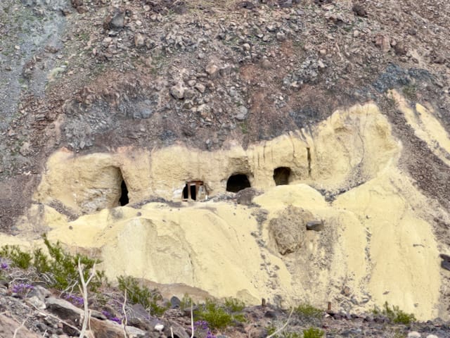
At around mile 3, one last sweeping turn to the east brought us into the canyon that contains the Widow Mine. The Widow also opened around 1915 and was one of the longer running mines in the complex.
By 1928, the Pacific Coast Borax Company had tapped into significant new reserves of a borate ore known as rasorite in the Kramer District, located to the south in Boron, California. This discovery proved to be a game-changer, as rasorite was more cost-effective to mine, transport, and process than the borates found in the Death Valley area. Consequently, the Played Out mine at Ryan finally ceased operations, and the Biddy McCarthy and Lower Biddy McCarthy mines neared depletion.
Contrary to initial assessments, the Widow mine was found to contain extensive ore deposits but despite these findings, the output from Ryan could not match the production levels achieved in the Kramer District. As a result, in 1928, the Pacific Coast Borax Company shut down its mining operations at Ryan, relegating the remaining ore deposits to reserve status. This decision marked the end of any plans to extend the Death Valley Railroad through Greenwater Valley towards Monte Blanco and Corkscrew Canyon.
In December 1930, the final blow was delivered to the Ryan District when the Death Valley Railroad sought permission from the Interstate Commerce Commission to discontinue its 30-mile narrow gauge railway that connected Ryan with the Death Valley Junction. By March 1931, the railroad had permanently ceased all operations. The dismantling of the railway marked the end of an era, as both the tracks and the employees found a new beginning in Carlsbad, New Mexico. There, they contributed to the operations of the United States Potash Company's mine railroad, under the umbrella of the Pacific Coast Borax subsidiary, continuing the legacy of this historic railway in a different setting.