Gerstley Mine Shoshone, California
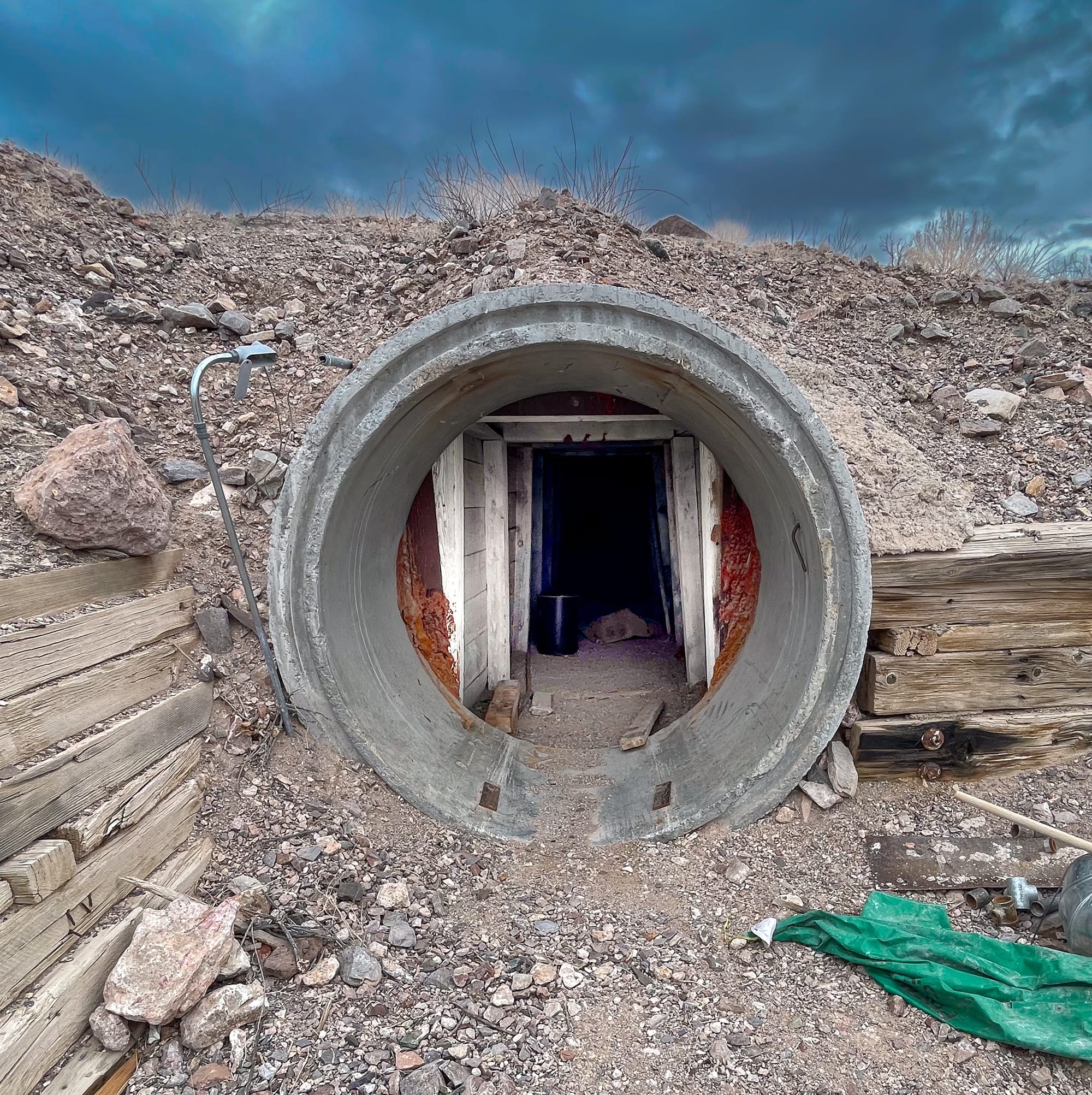
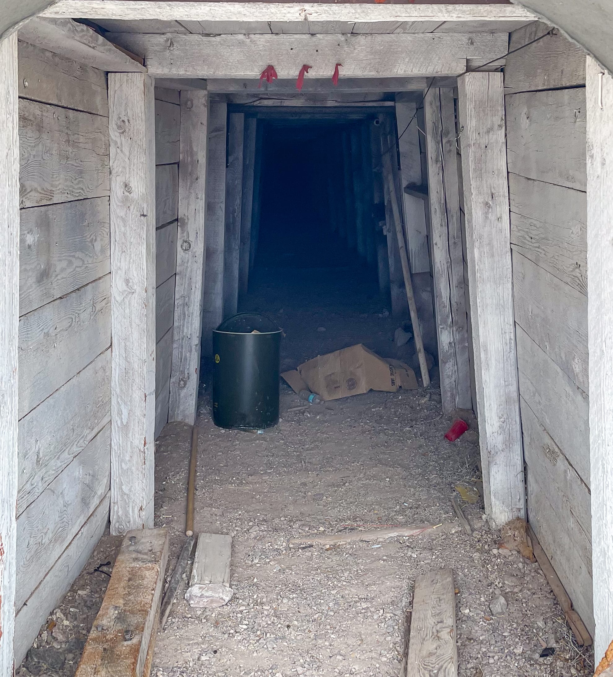
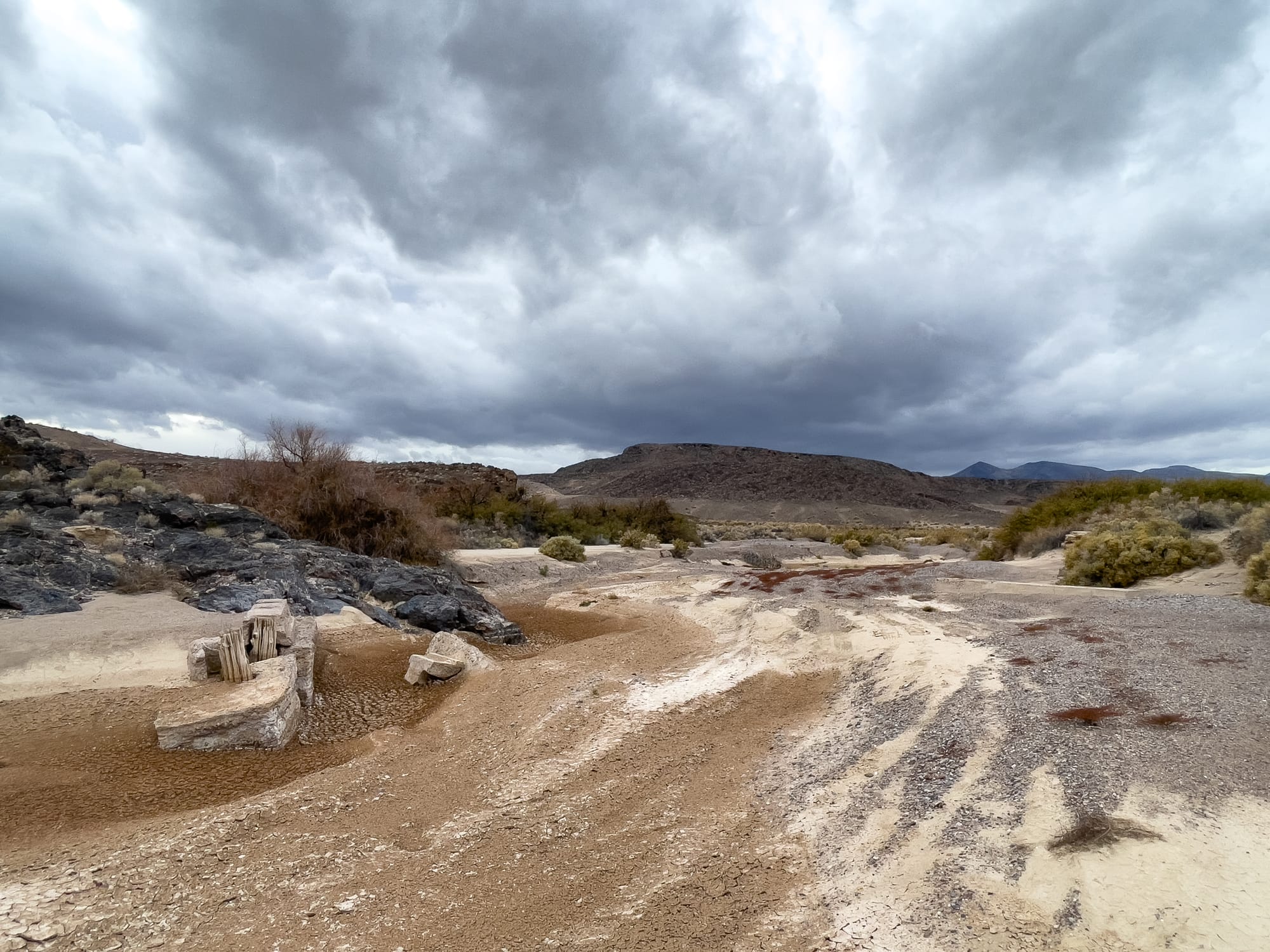
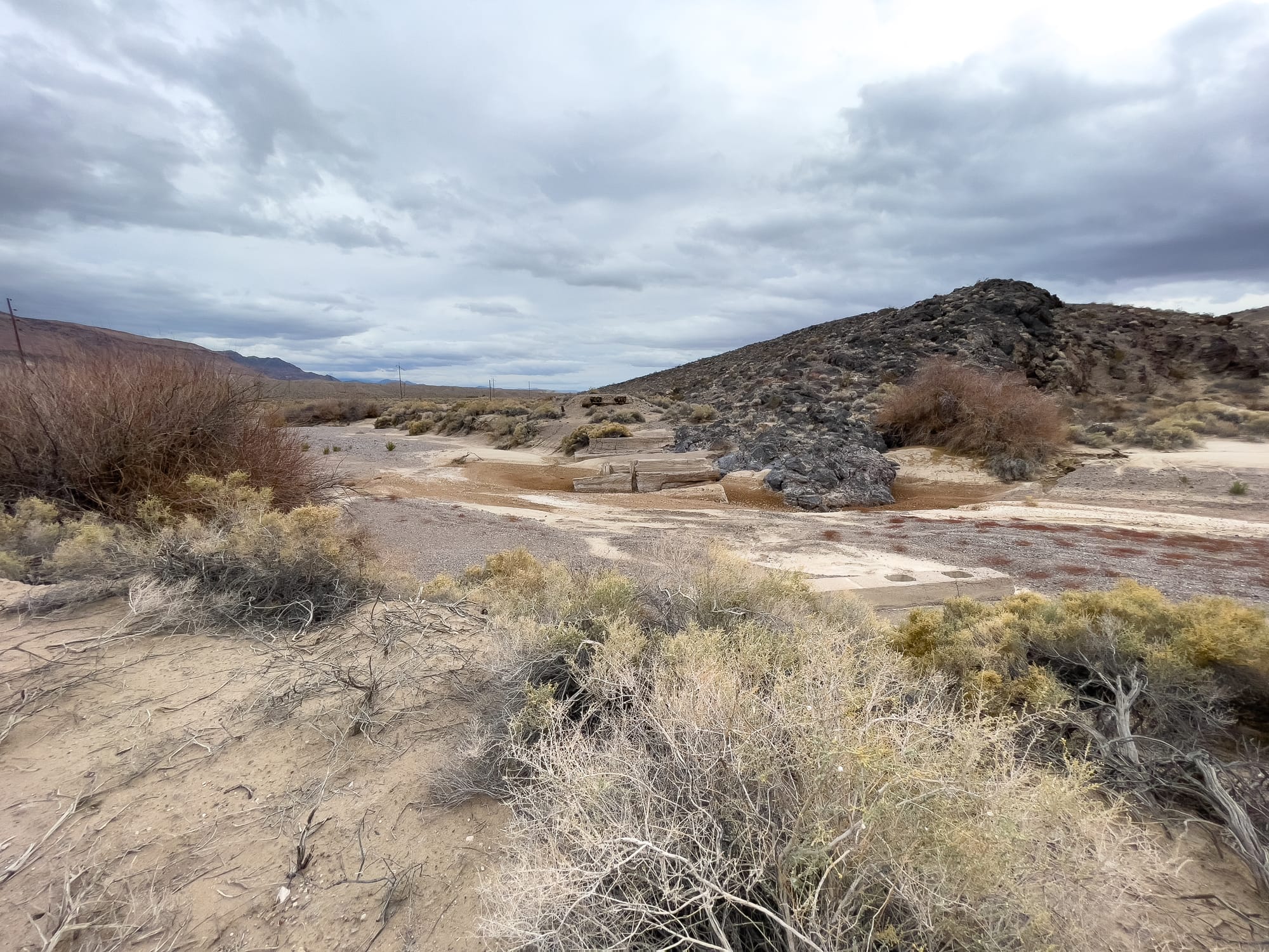
The Gerstley Mine, nestled near Shoshone, California, adds a unique chapter to the extensive mining history of Death Valley and its environs, marking its significance in the mining narrative of the Western United States. Discovered in 1922 by Johnny Sheridan, a prospector with an unusual living arrangement in a cave alongside local fauna, the mine quickly changed hands, eventually being developed by the Pacific Coast Borax Company (PCB). Known for its deposit of Ulexite, used in fire retardants and ceramic glazes, the mine underscored the region's diverse mineral wealth.
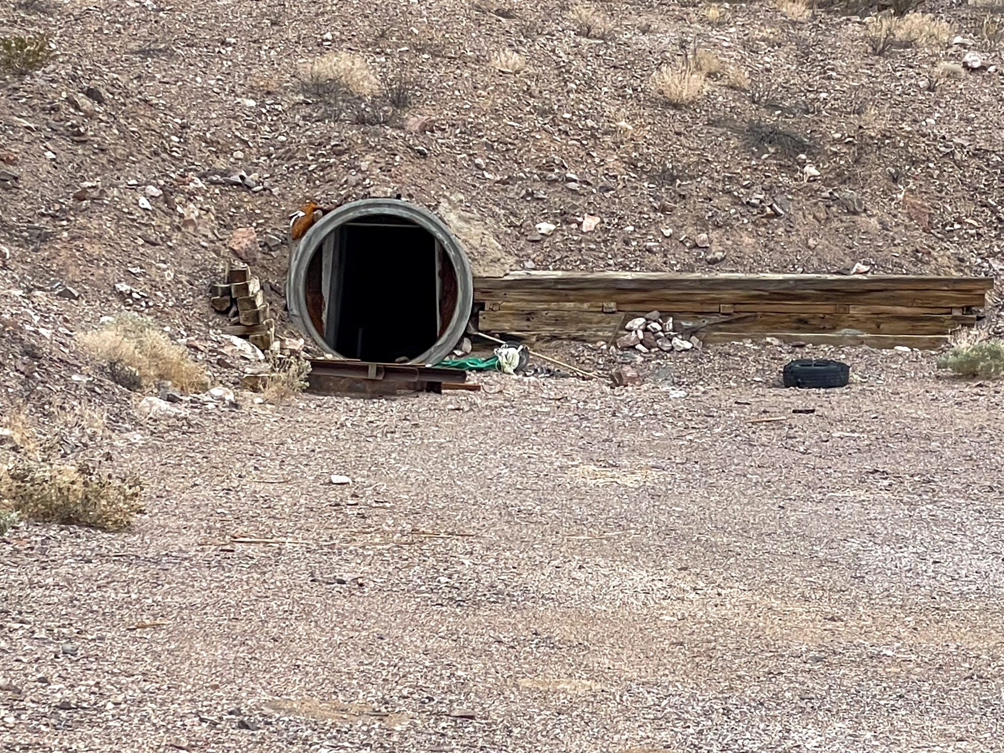
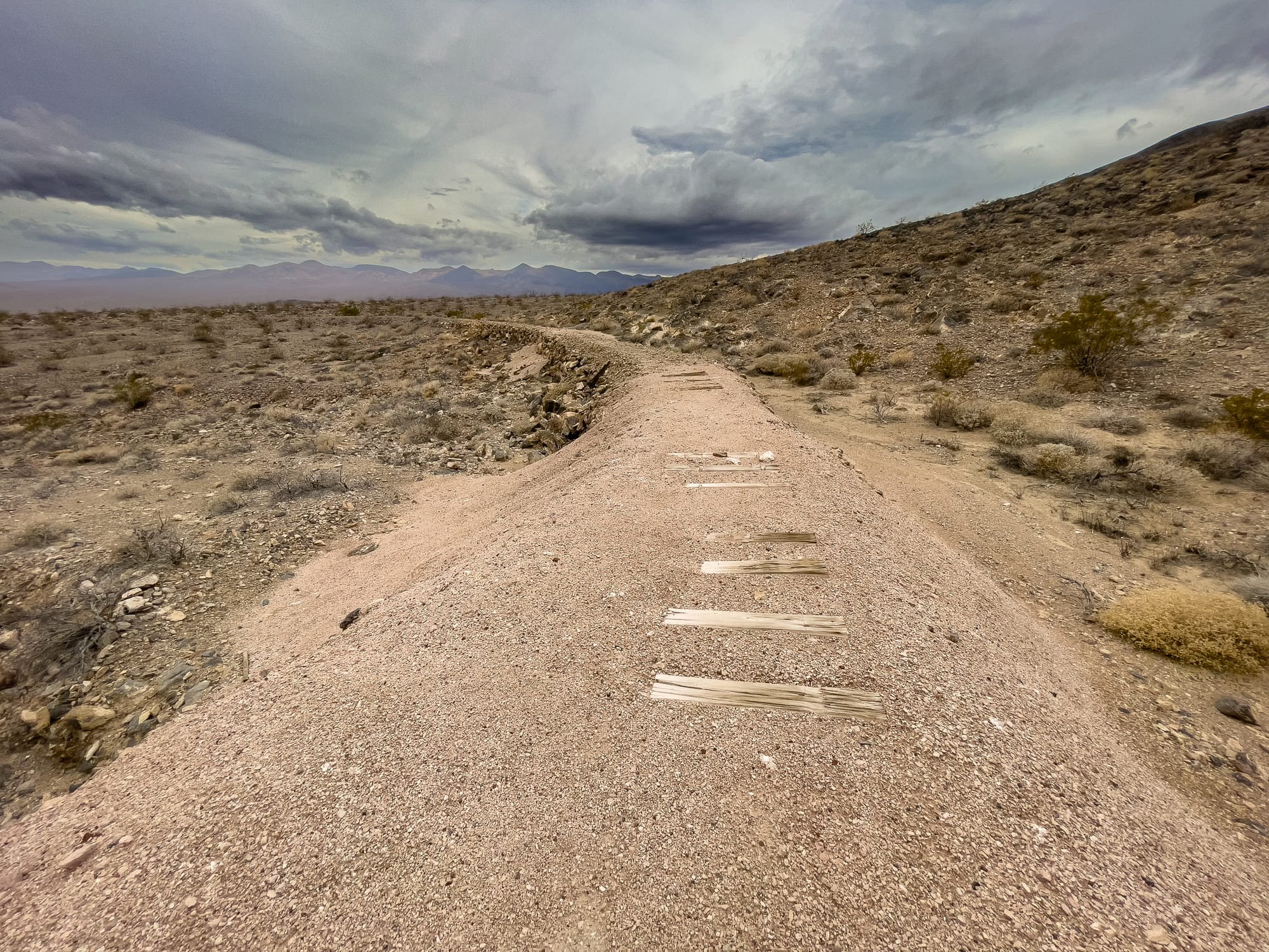
To facilitate ore transport, PCB constructed a 3-mile "baby gauge" railroad linking the mine to the Tonopah & Tidewater Railroad with a new siding named Gerstley. This intricate setup included a split at the siding for an ore bin and supply transfer, notably water, essential for mining operations. Utilizing a Milwaukee gasoline locomotive and a small fleet of ore cars, the operation showcased innovative logistics in the early 20th century, including a battery locomotive now displayed at Ryan.
However, the Gerstley Mine's operations were short-lived, closing in October 1927. The closure led to the railroad's dismantling and the relocation of its equipment and buildings to support the burgeoning PCB mine at Boron and the tourist development at Furnace Creek Ranch. This transition illustrates the fleeting nature of mining ventures in this era and their impact on the development and repurposing of infrastructure in the region.
Origins and Operations
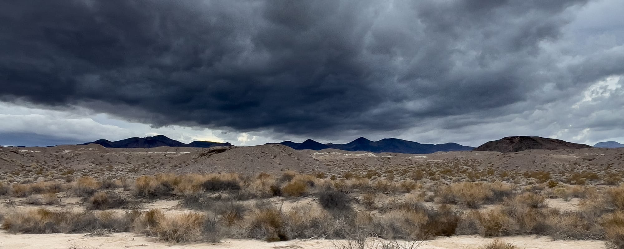
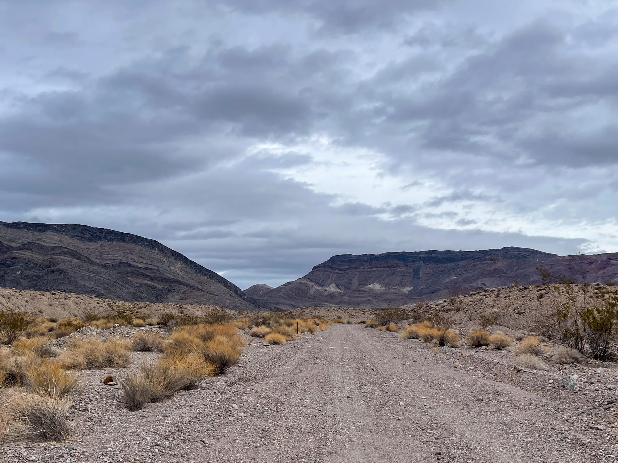
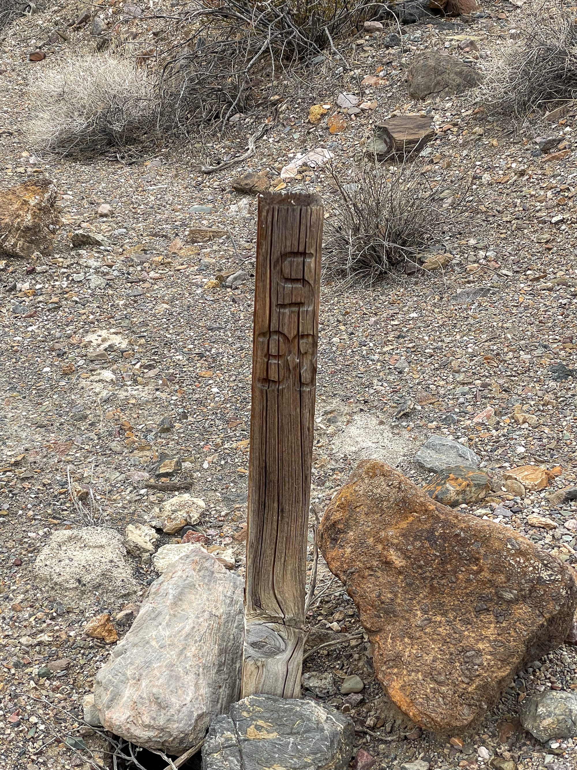
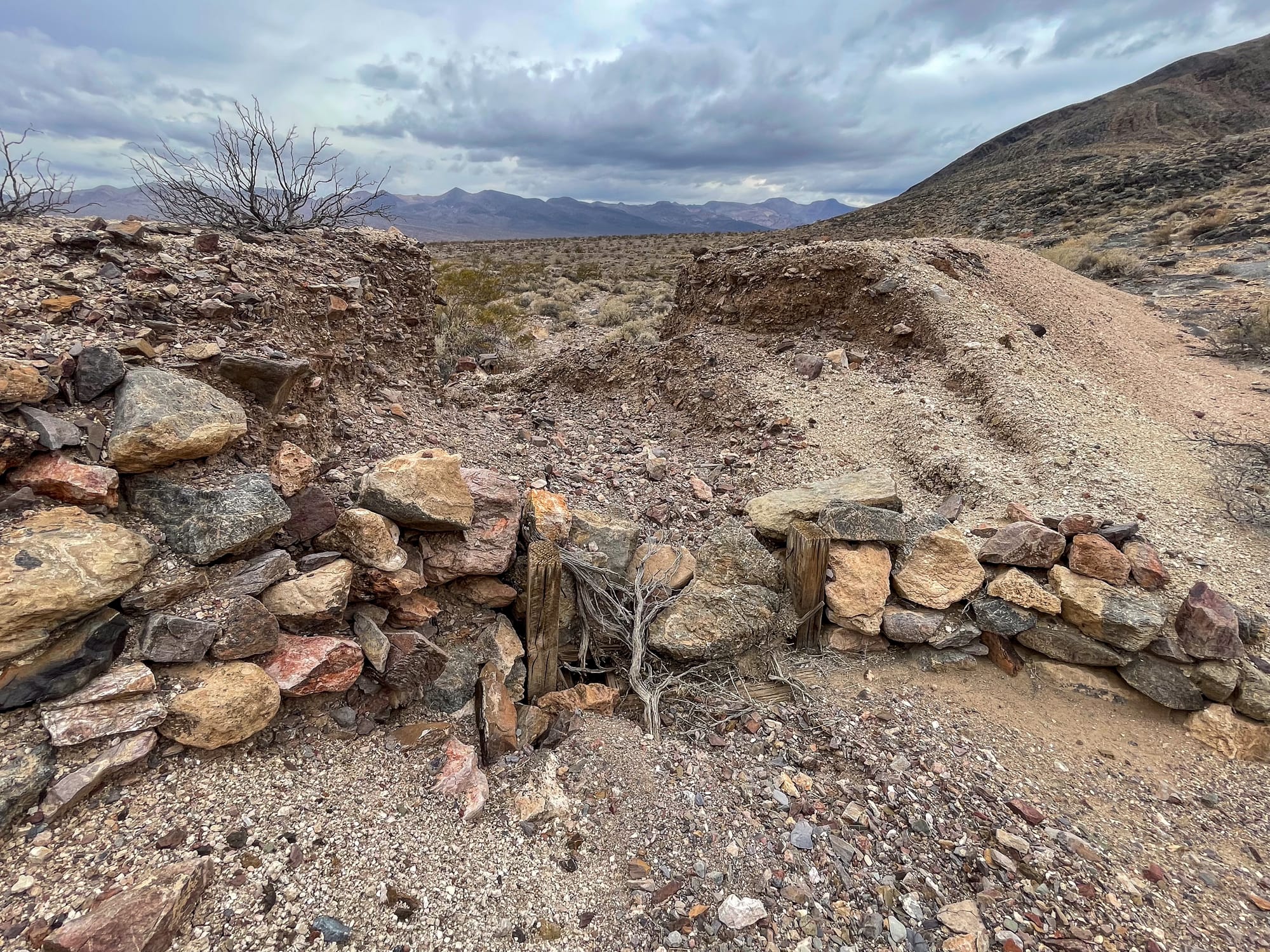
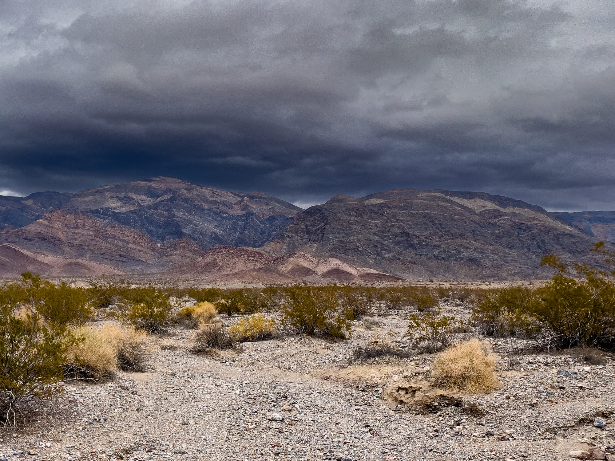
- Location: The Gerstley Mine is situated in Inyo County, California, near the southeastern border of Death Valley National Park. Shoshone, the nearest town, served as a hub for miners and travelers in the area.
- Geology: A former borate mine located in secs. 8, 9 & 17, T22N, R7E, SBM, near the southern tip of the Resting Spring Range.
Mineralization is a lacustrine borate deposit (Deposit model: 260: Lacustrine borates), hosted in rocks of the Quevar Volcanic Complex (clay, mud, mudstone, conglomerate, and shale).
Local structures include a SW-trending fault, the Furnace Creek Fault (mine is about 2 miles W), anticlines.
Related tectonic structure: Basin and range province. - Minerals: The mine is best known for its borate minerals, including colemanite, which was a significant source of boron. Boron compounds are used in various industrial and household applications, from detergents to fiberglass.
- Timeline: The exact dates of the mine's operation are part of the broader history of mining activity in the area, which surged in the late 19th and early 20th centuries. Mining in the region peaked during these times, with various minerals, including gold, silver, and borates, being the primary targets.
Economic and Environmental Impact
- Economic Contribution: The Gerstley Mine contributed to the local economy through employment and the extraction of borate minerals, which were in demand for industrial uses. The mining operations in the region were part of the broader economic development of California and the Western United States during the mining booms.
- Environmental Concerns: Like many historical mining operations, activities at the Gerstley Mine and similar sites have left behind environmental impacts, including altered landscapes and potential contamination from mining residues. Modern efforts to manage these impacts focus on mitigating the environmental footprint left by historical mining activities.
Legacy and Closure
- Closure: The mine, like many others in the region, eventually ceased operations. The decline was due to a combination of factors, including the depletion of easily accessible minerals, the introduction of more stringent environmental regulations, and shifts in the economic viability of mining in the area.
- Historical Significance: Today, the Gerstley Mine is part of the historical narrative of mining in California. It serves as a reminder of the region's contribution to the mining industry and the challenges of balancing resource extraction with environmental stewardship.
The history of the Gerstley Mine is a small chapter in the vast story of mining in the Western United States, reflecting the challenges, contributions, and complexities of this industry in America's development.

Sources:
Myrick David. "Railroads of Nevada and Eastern California", Vol 2, Berkeley, Howell North, 1963
Serpico Phil. "Tonopah & Tidewater Railroad, The Nevada Shortline" Palmdale, Omni Publications, 2013
Greene, Linda W. “Historic Resource Study A History of Mining, Vol. I of II Part 1 of 2.” United States Department of the Interior, March 1981.